As is so often the case, it is the people you meet that you remember when thinking back to a place. Tacna is one of those places. The manager of the little hotel I booked greets us with genuine warmth. The room he takes us too only has a window to a central well, no outside window, but it feels clean so for one night, it will do. He tells us of a restaurant nearby which closes in 30′ at 4pm so we rush over for a late lunch. We had one of the most delicious seafood risottos, full of fresh prawns and scallops. And it was cheap!!!
Back to our hotel for a nana nap for Anthony while I set out exploring the town. I spend a lovely couple hours just wondering through this lovely town and bring a couple of tiny pastries to have with a cup of tea back at the room which will do as dinner as we had such a late lunch.

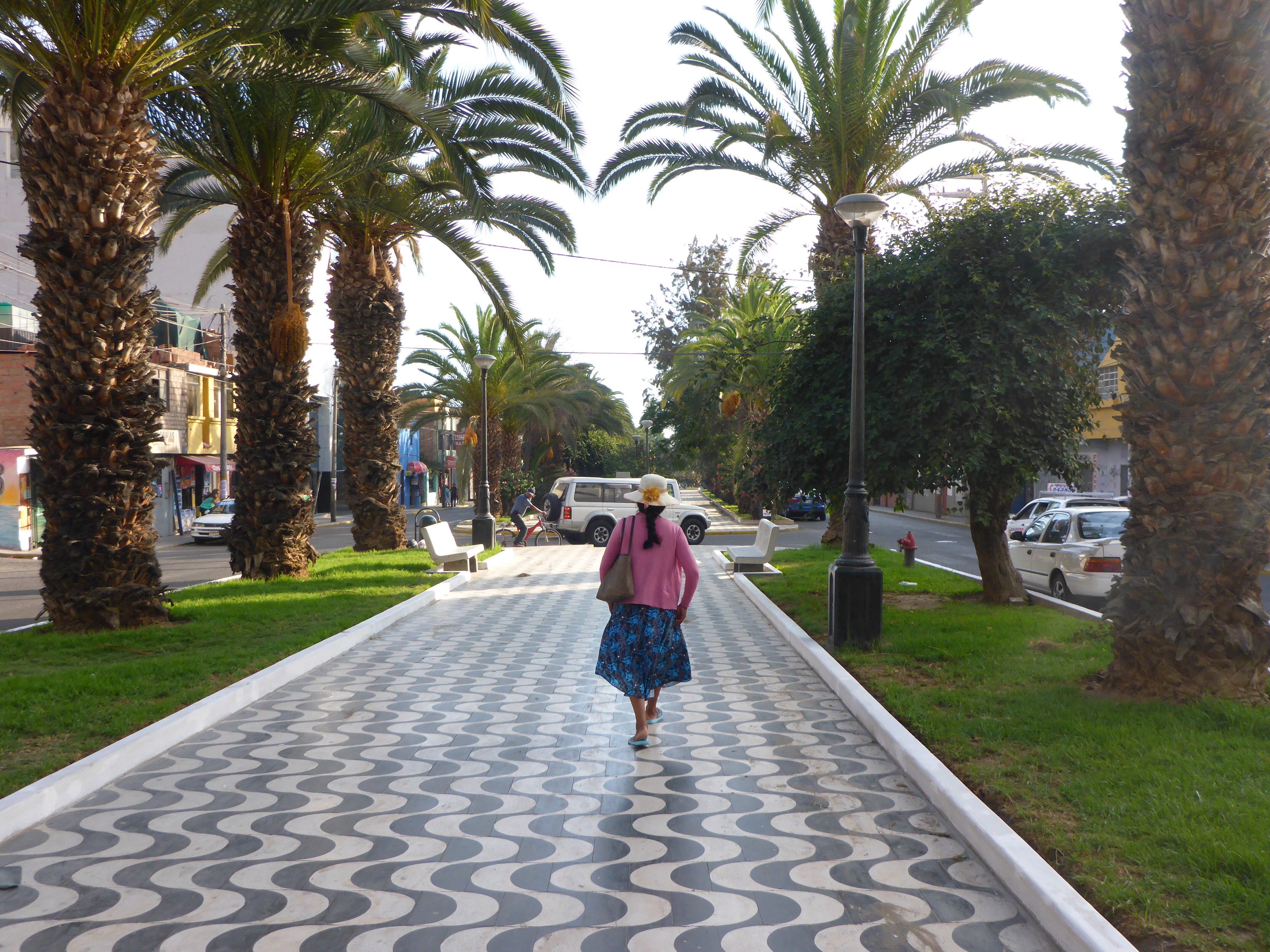
Alameda Bolognesi walkway in Tacna

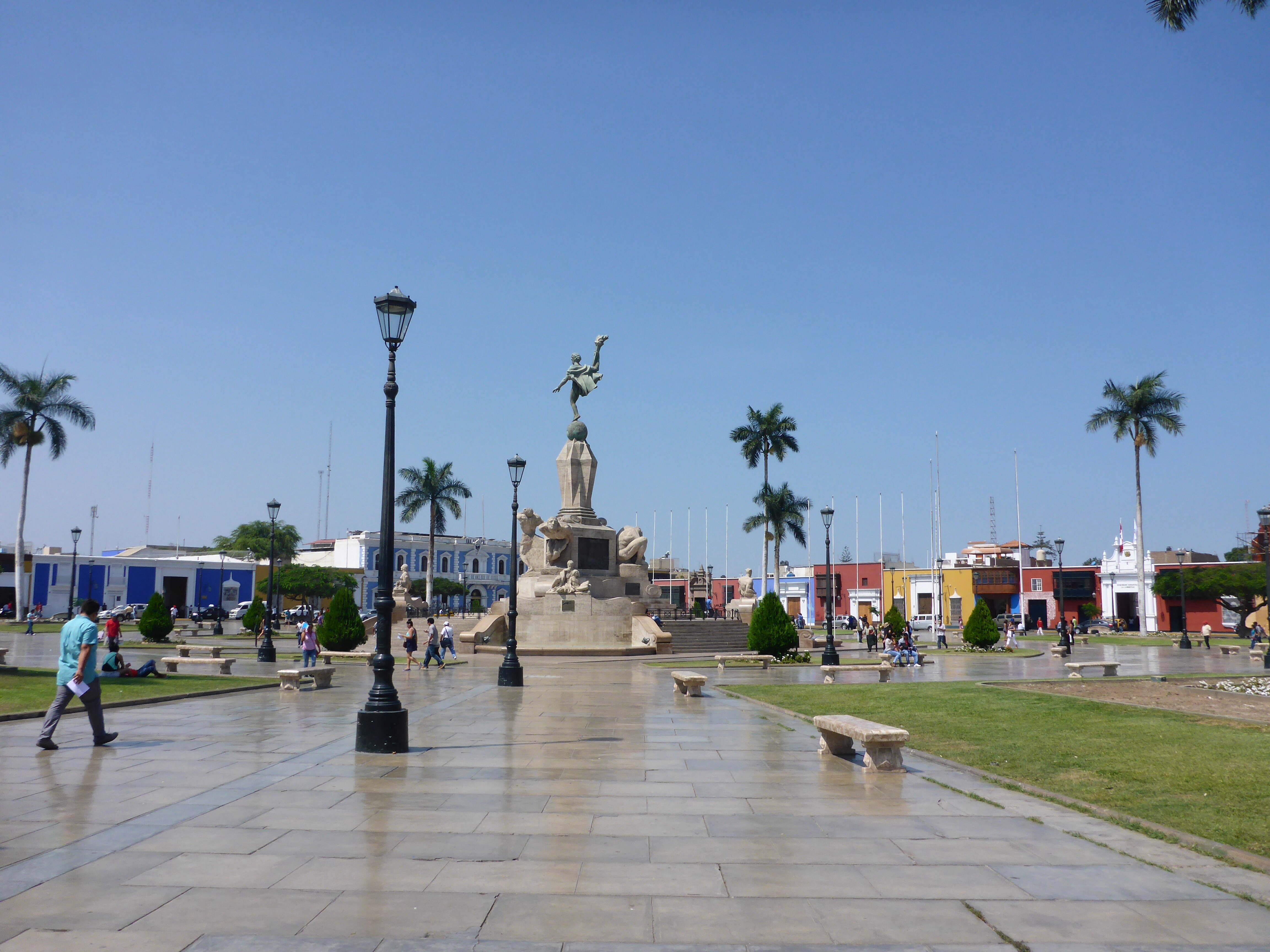
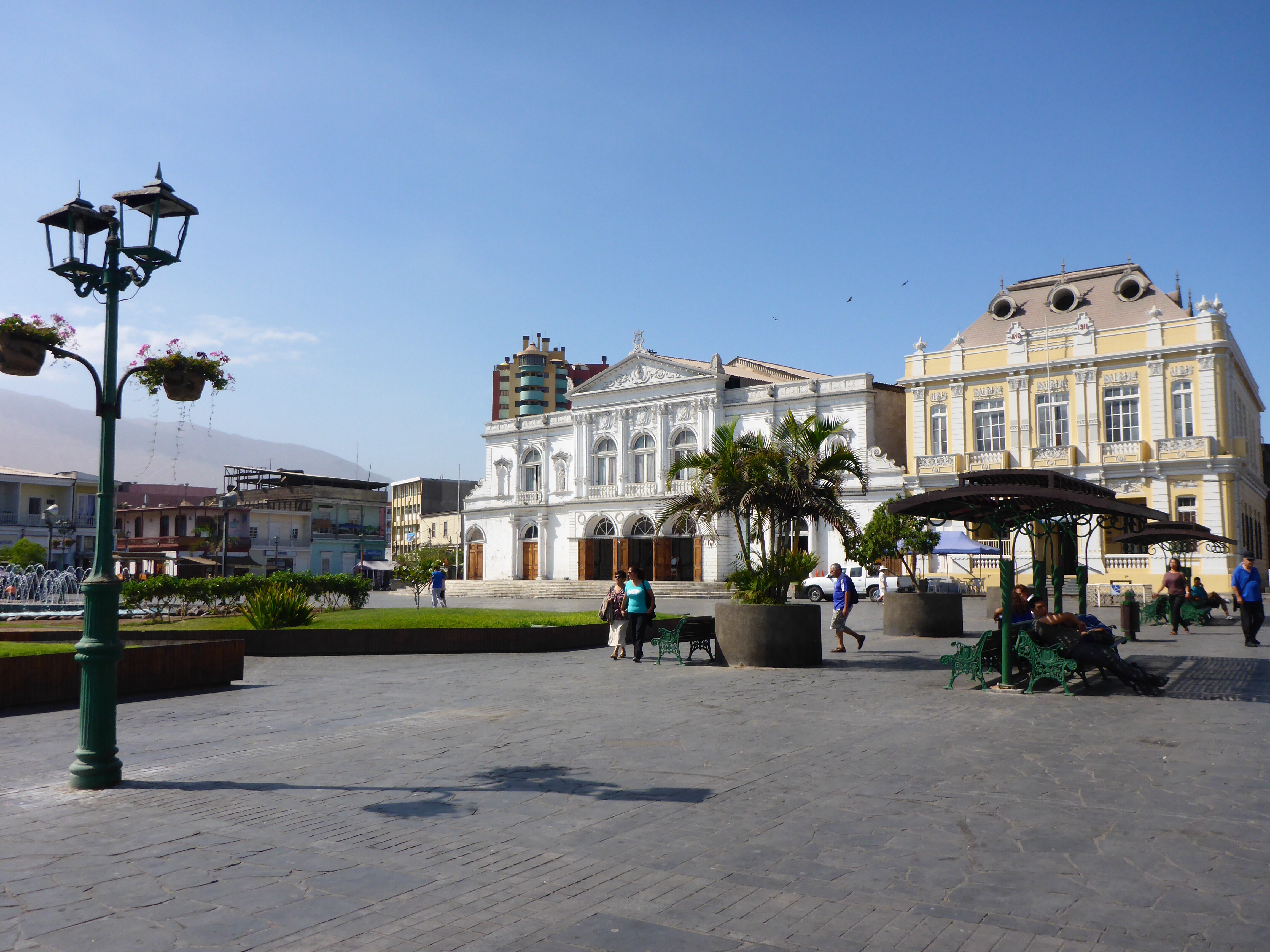
Tacna Paseo Civico

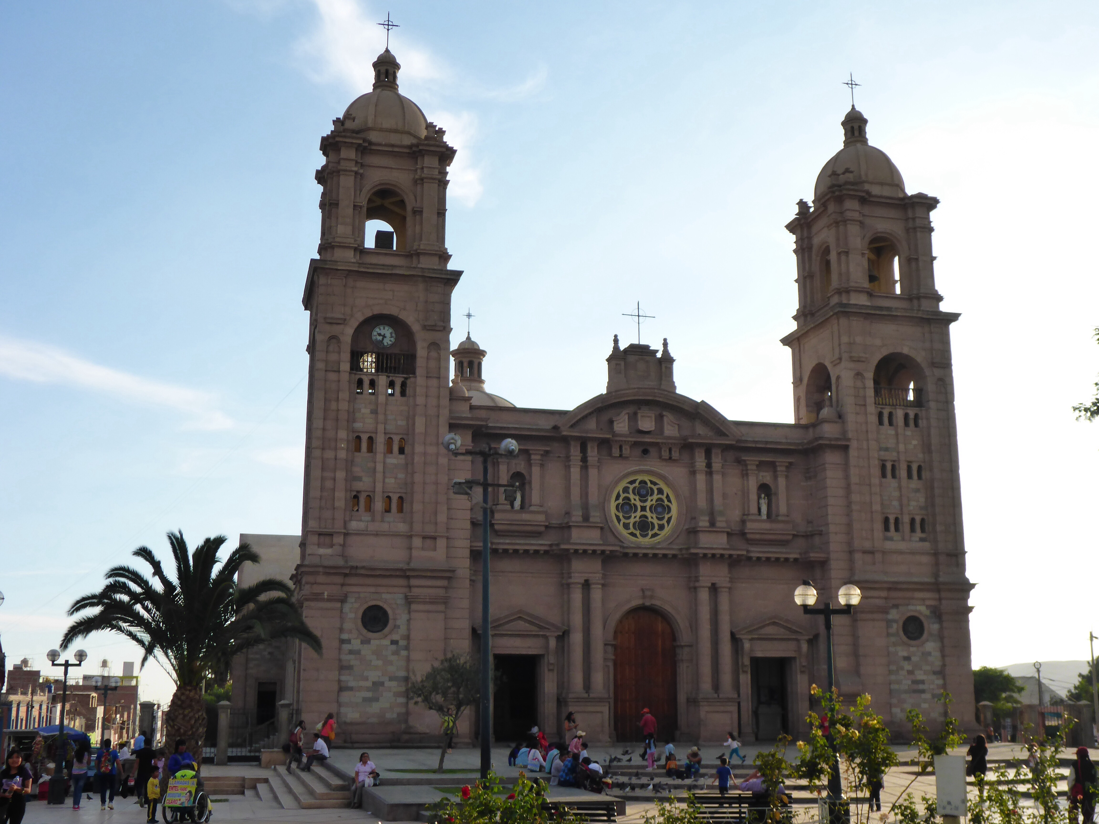
Tacna neo-renaissance cathedral

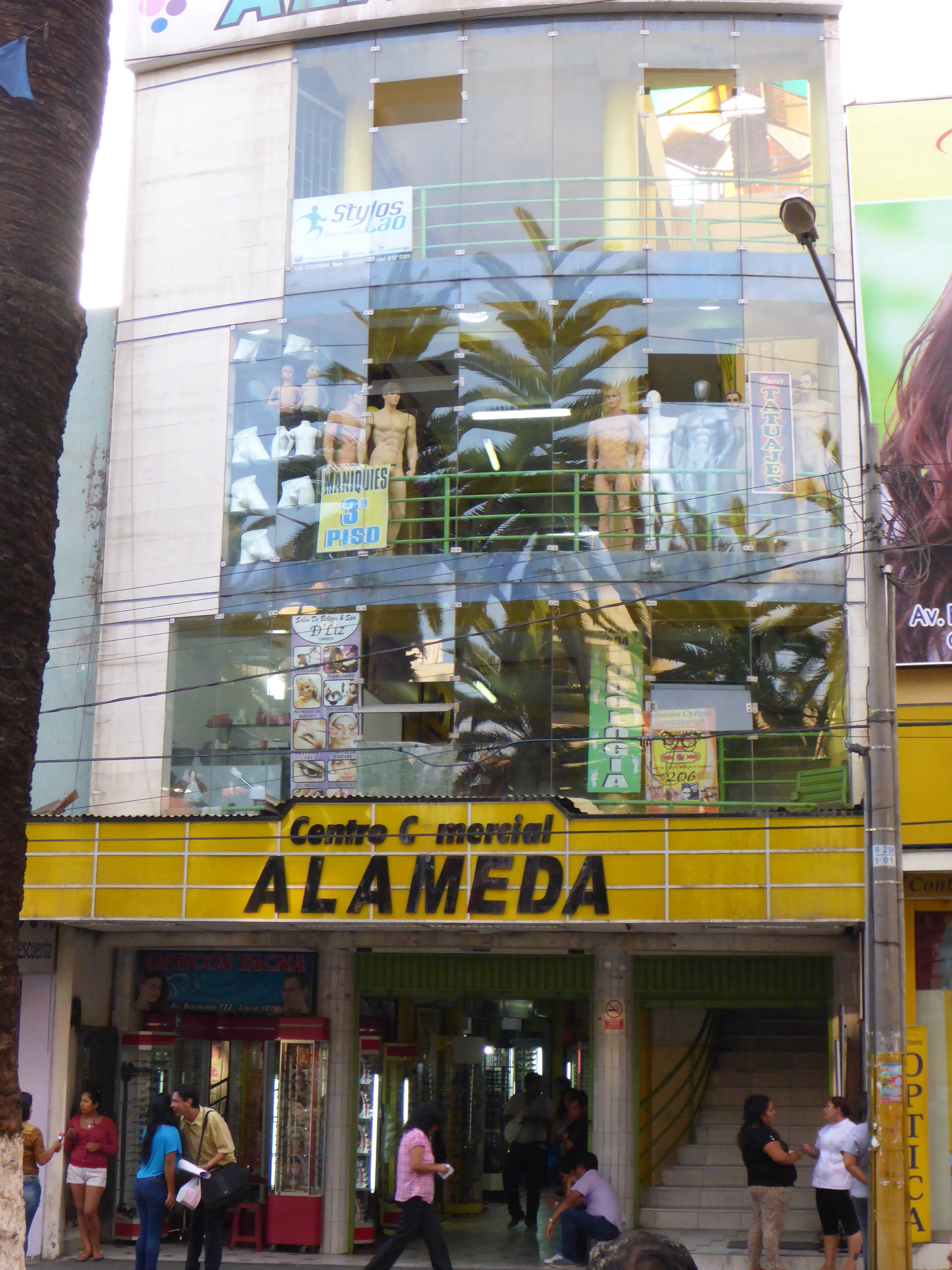
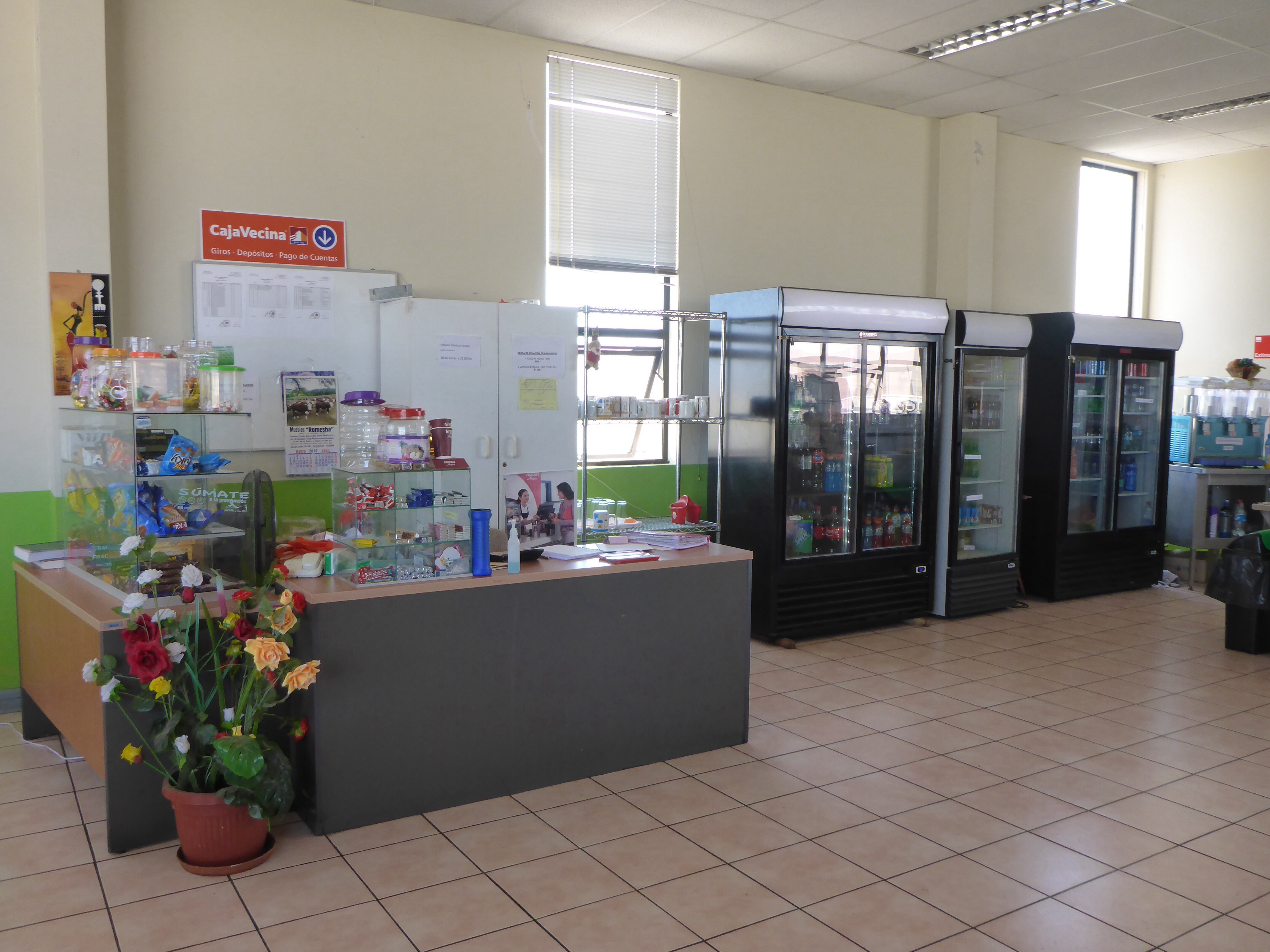
Unusual store in Tacna

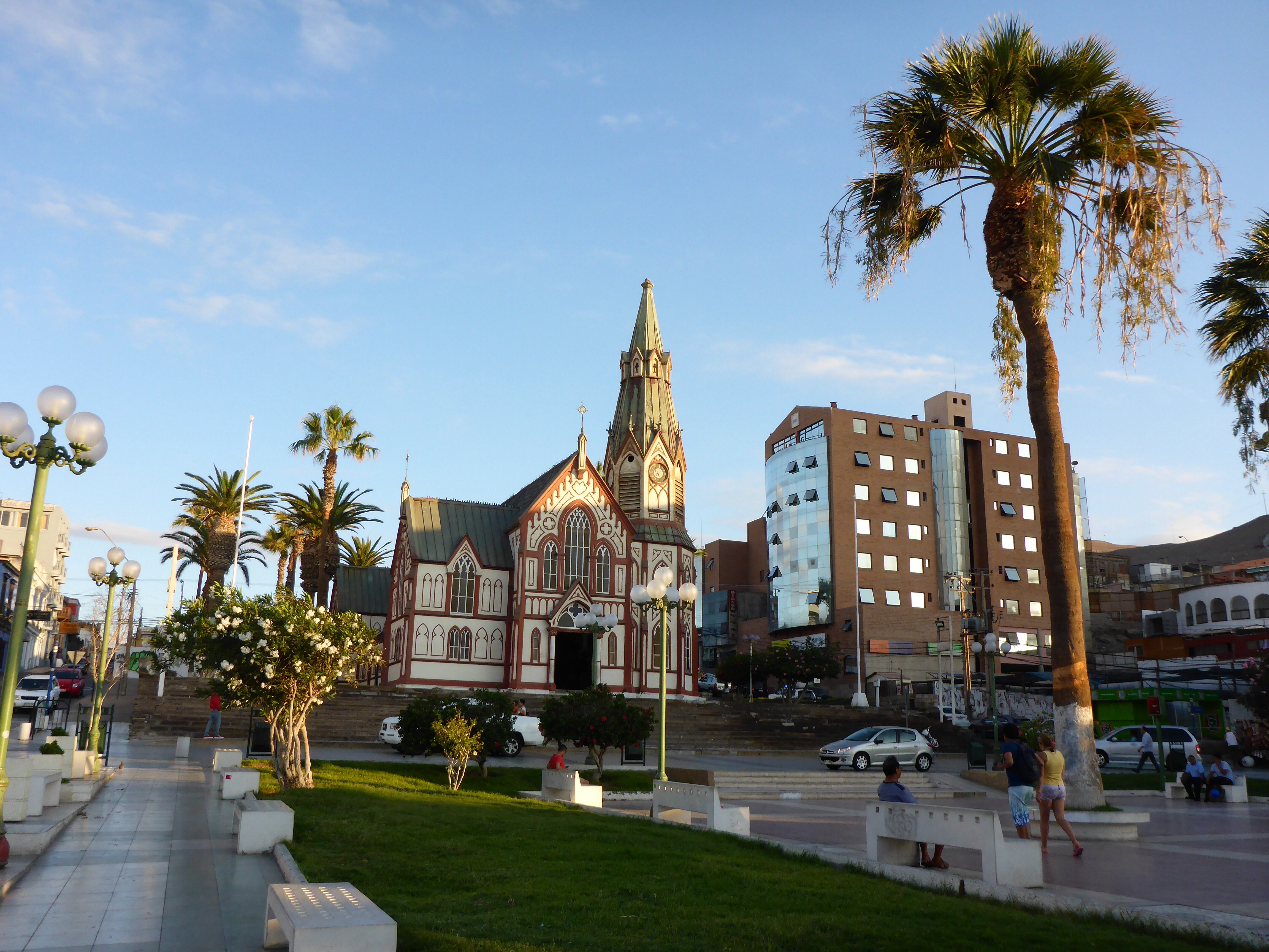
Espiritus Santo church in Tacna
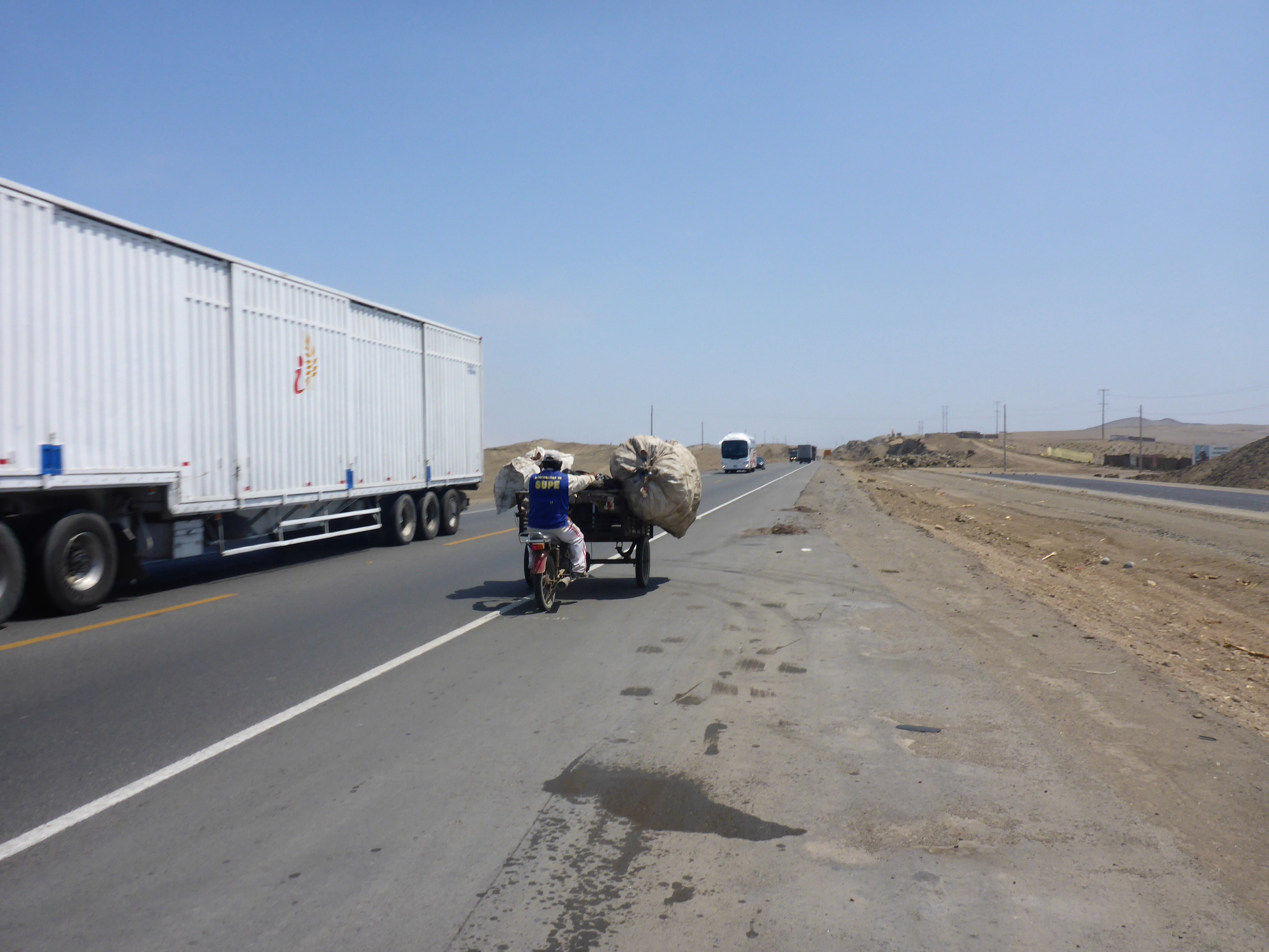
We get up at 6am this morning, 28th March, as we have a long ride to Arequipa, 400kms is not that far, but we don’t know what the road condition or traffic will be like. Our lovely hotel managers have agreed to have our breakfast ready a little earlier than usual for our early departure. The bread rolls arrive fresh from the bakery. It is a simple little hotel but the service and personal touch are wonderful. This is one of those times I really wish I could speak Spanish. It is more than good service, I feel a personal connection. The gentle touch of our shoulders meant so much more, it came from the heart, warm hearts. In my frustration at myself having realised at the time of paying for the night that I was missing my Visa card, I didn’t think of taking a photo of them or get their names. Yet, their warmth will remain with me. We now have to return to the border where we purchased our road insurance yesterday as this is where I am sure I forgot to collect it back. We really didn’t need this extra mileage today… Lucky it is not too far… And Anthony in his usual supportive way is very calm about it. In situations like this, we usually beat ourselves up enough that the other one feels more sorry than annoyed. We’re a good team.
So off we head back to the border. I walk into the SOAT building and the lady who processed Anthony’s paperwork yesterday immediately notices and recognised me, opens her drawer and hands me my Visa card. Phew…..
Back to Tacna, in time for local rush hour now after a wasted 1.5 hours and we are finally on our way to Arequipa.

Finally leaving Tacna after a quick trip back to the border to collect Anne’s credit card
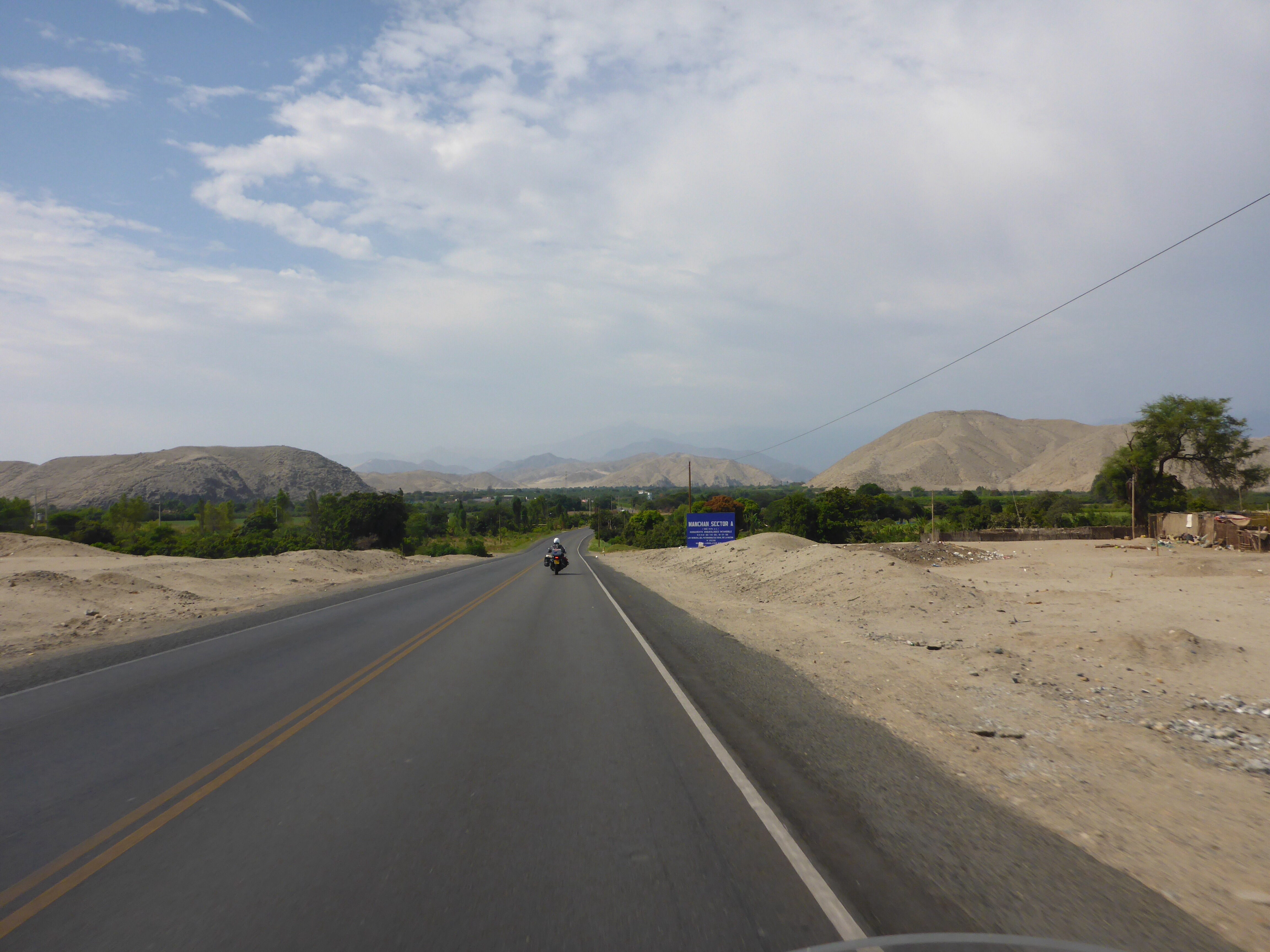
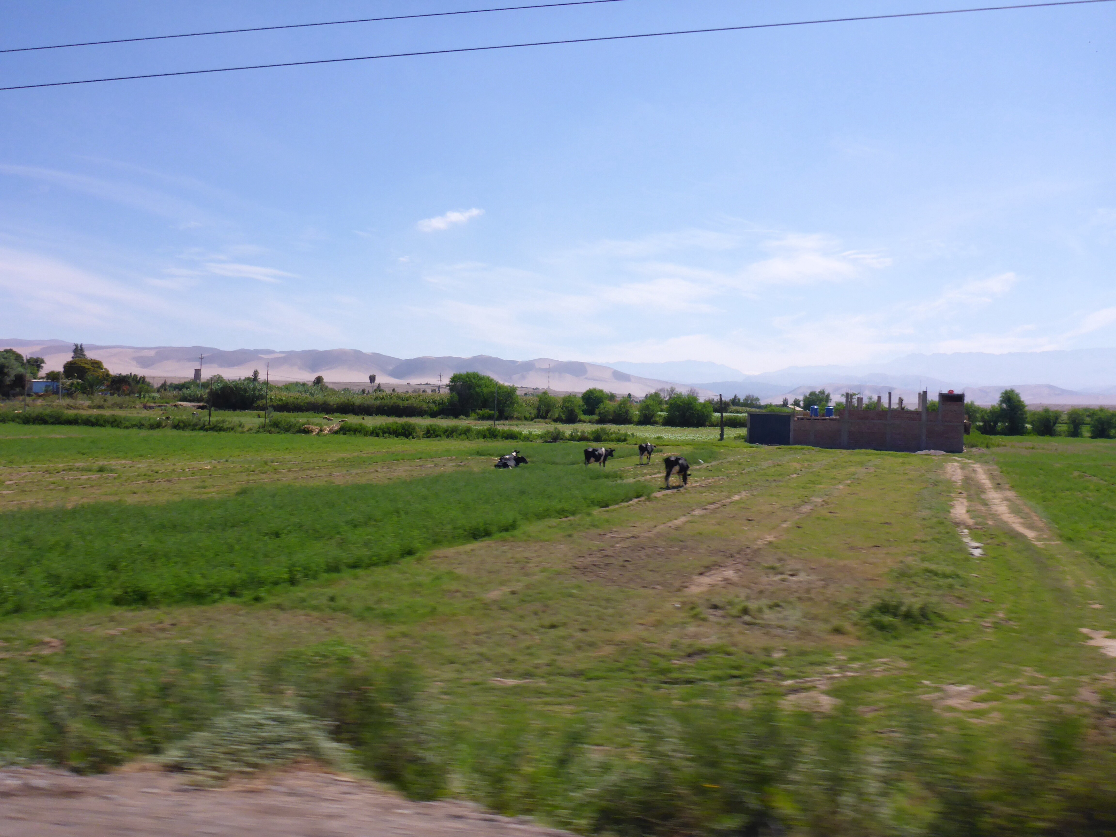
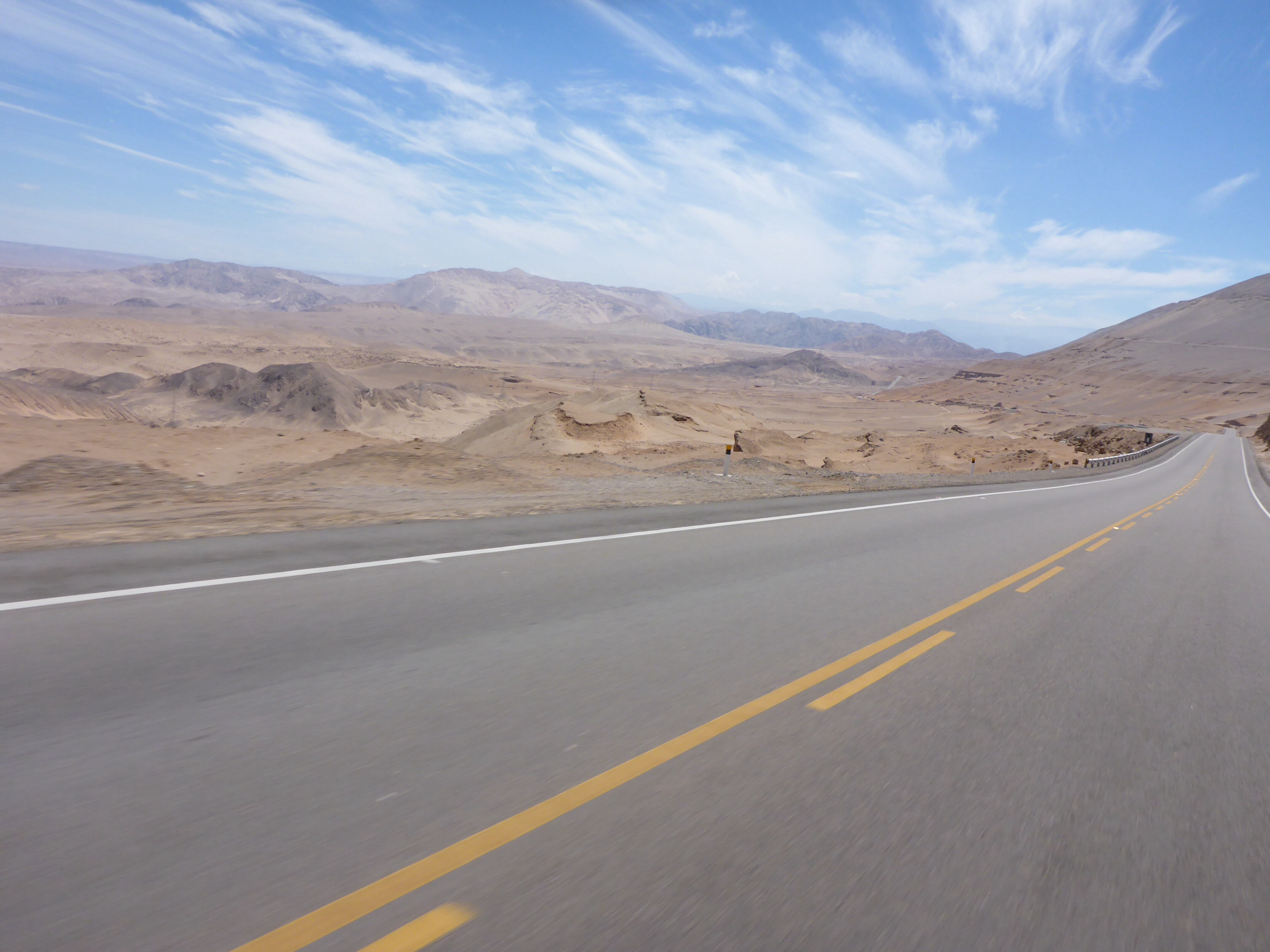
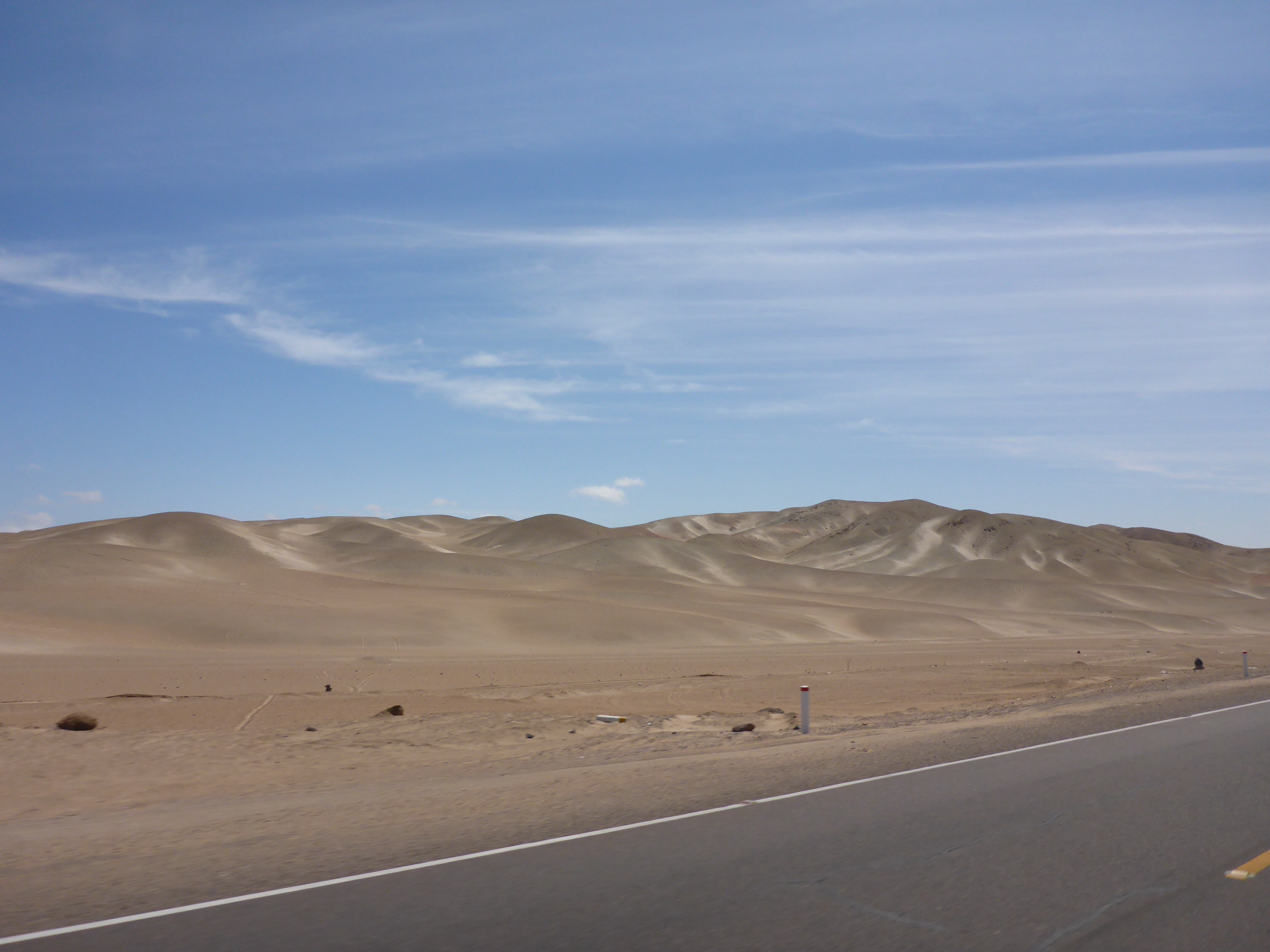
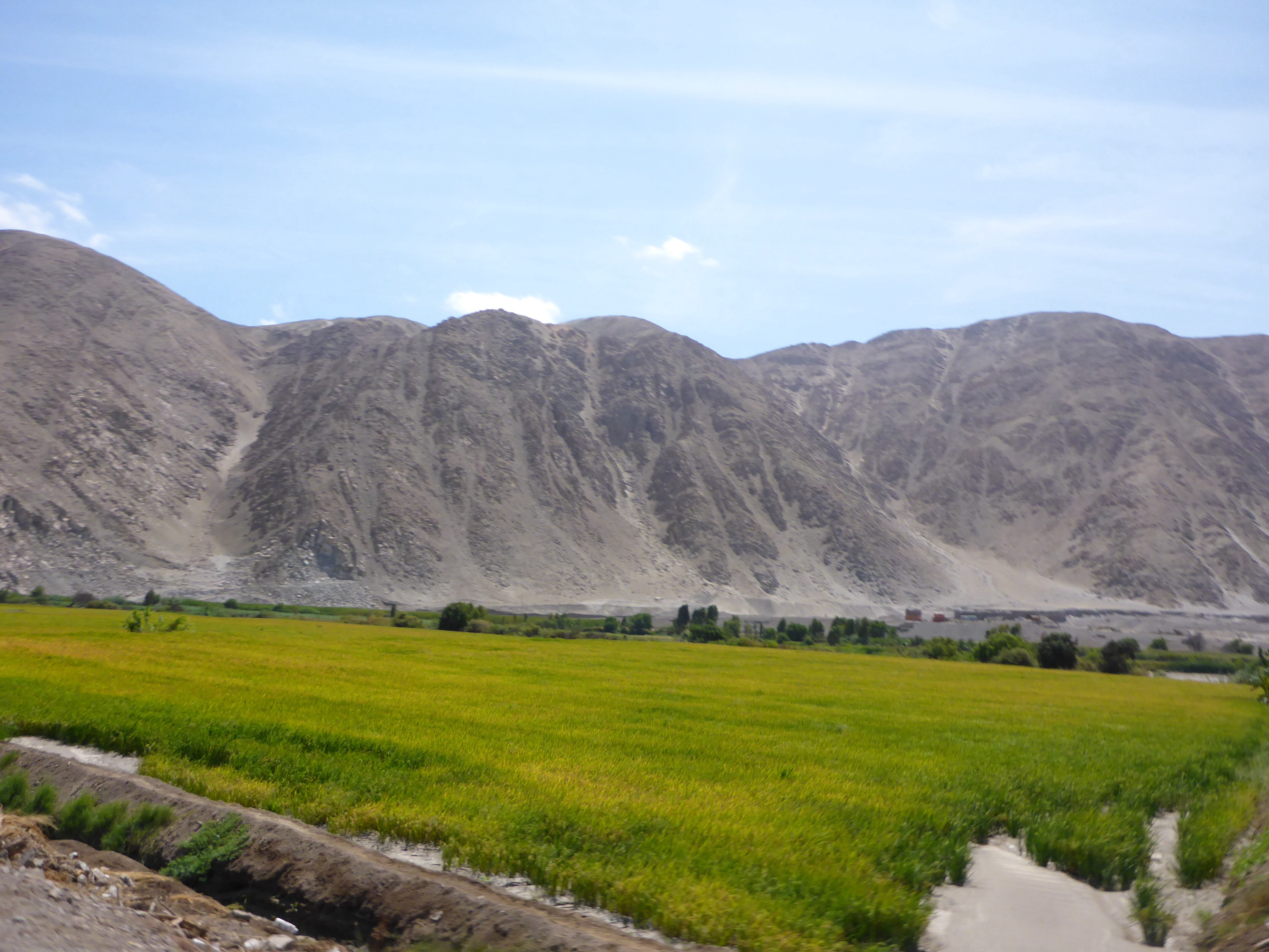
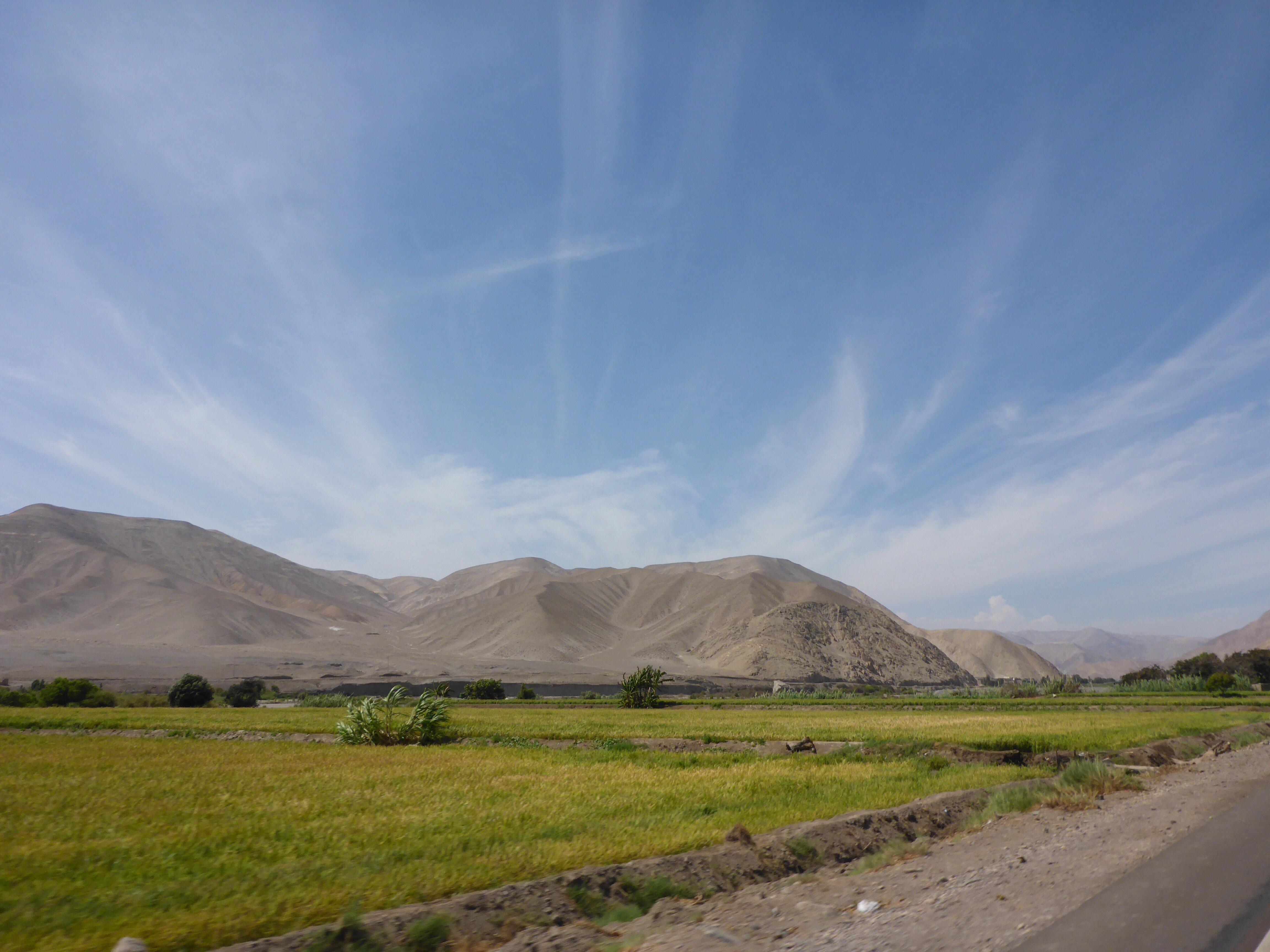
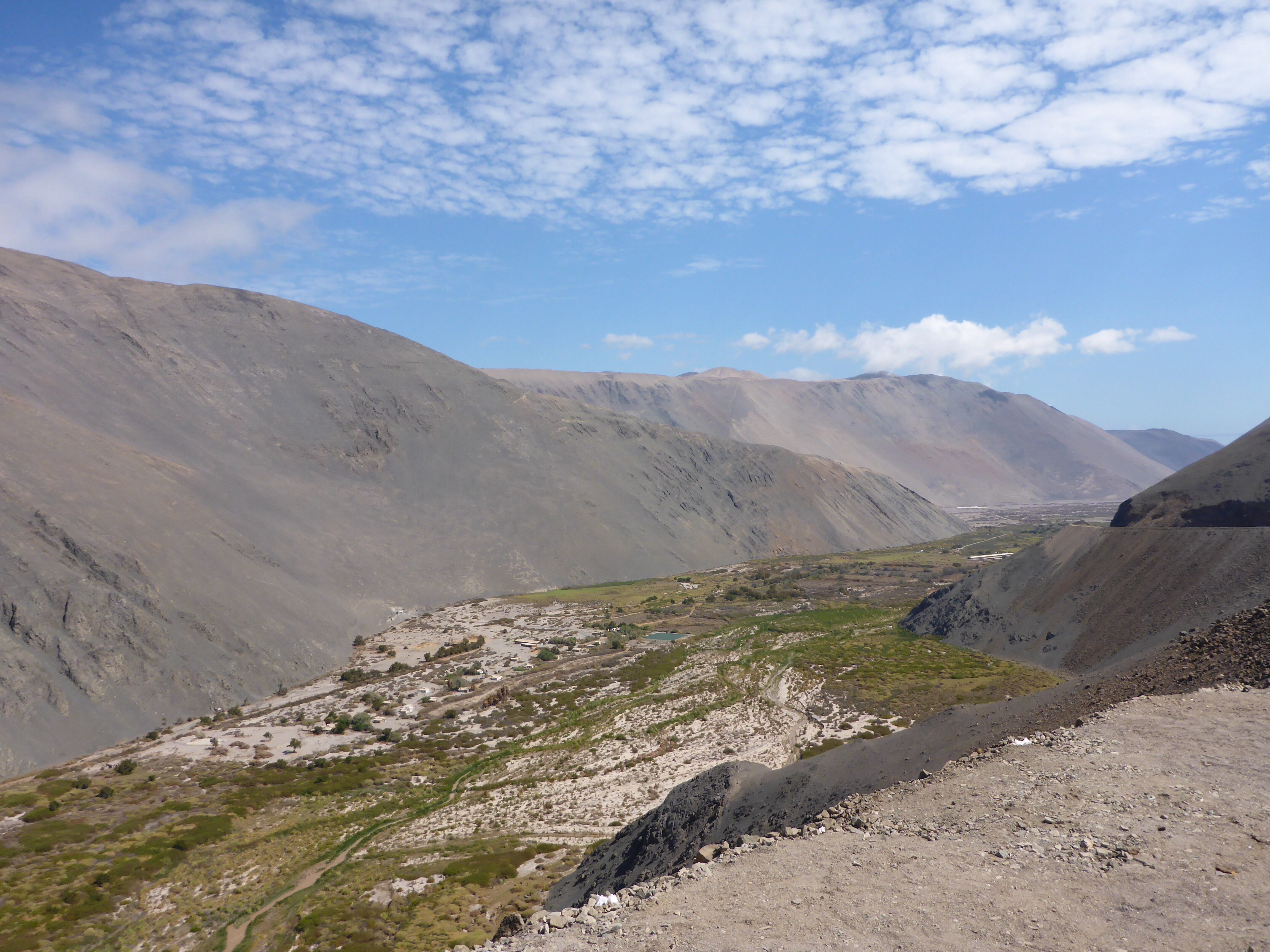
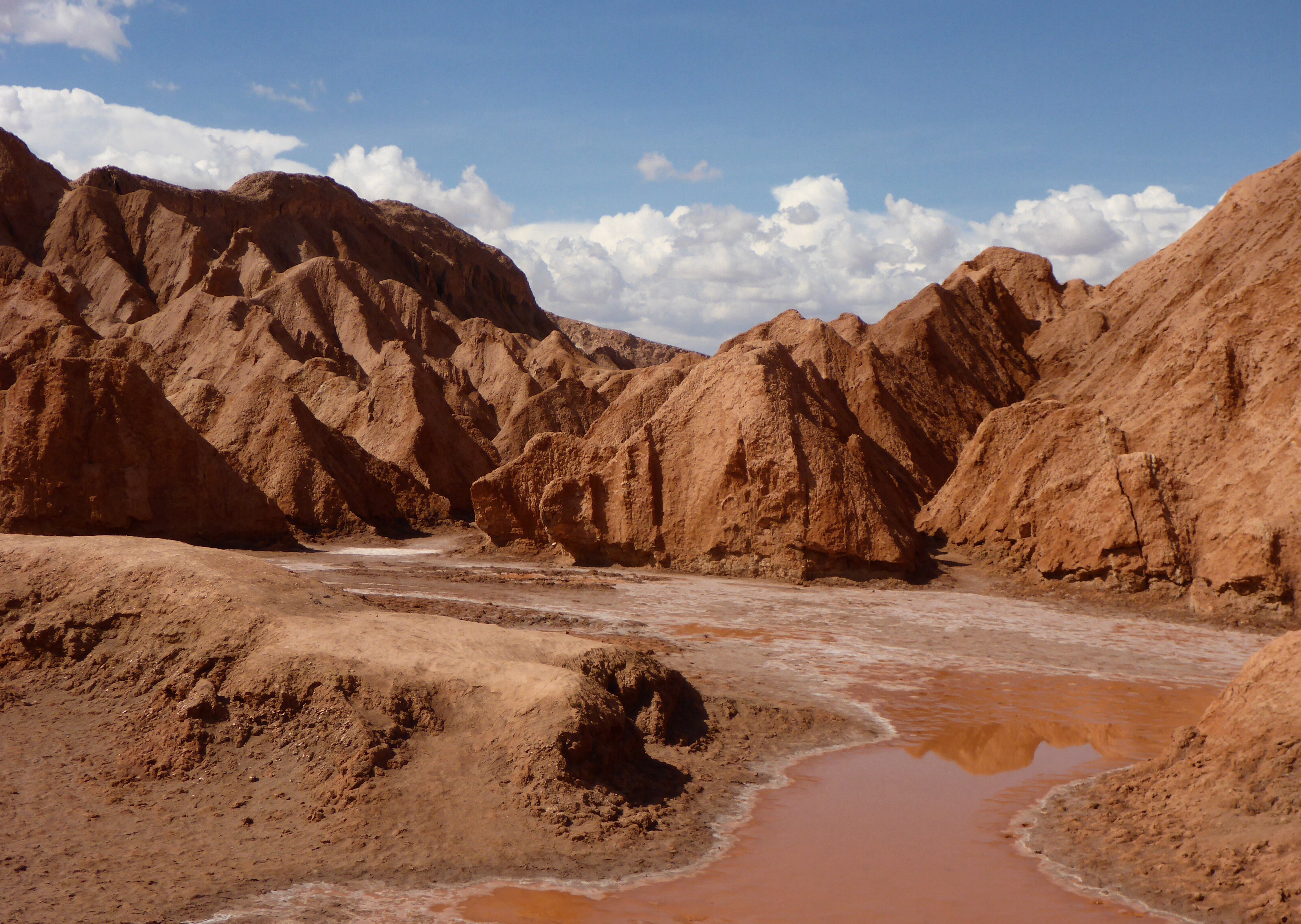
The way the scenery changes in this part of the world is always so sudden and dramatic. We head up the hill and quickly end up in a very harsh and arid desert. Just as suddenly, as we descend to cross a river, we find ourselves riding through a fantastically lush and fertile valley of alfalfa, corn, onions, avocados, fruit and even vines.

Lush valley just north of Tacna
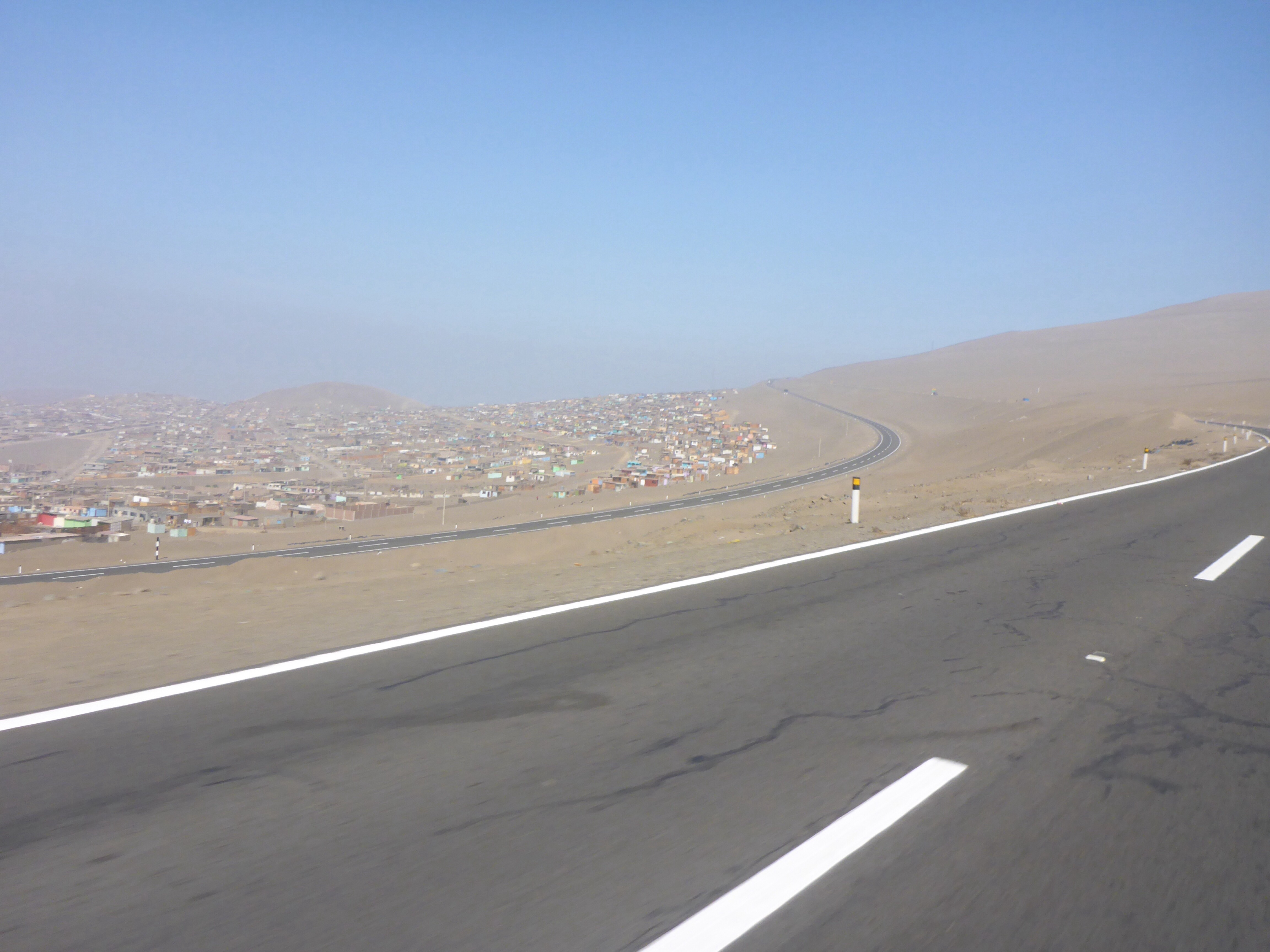
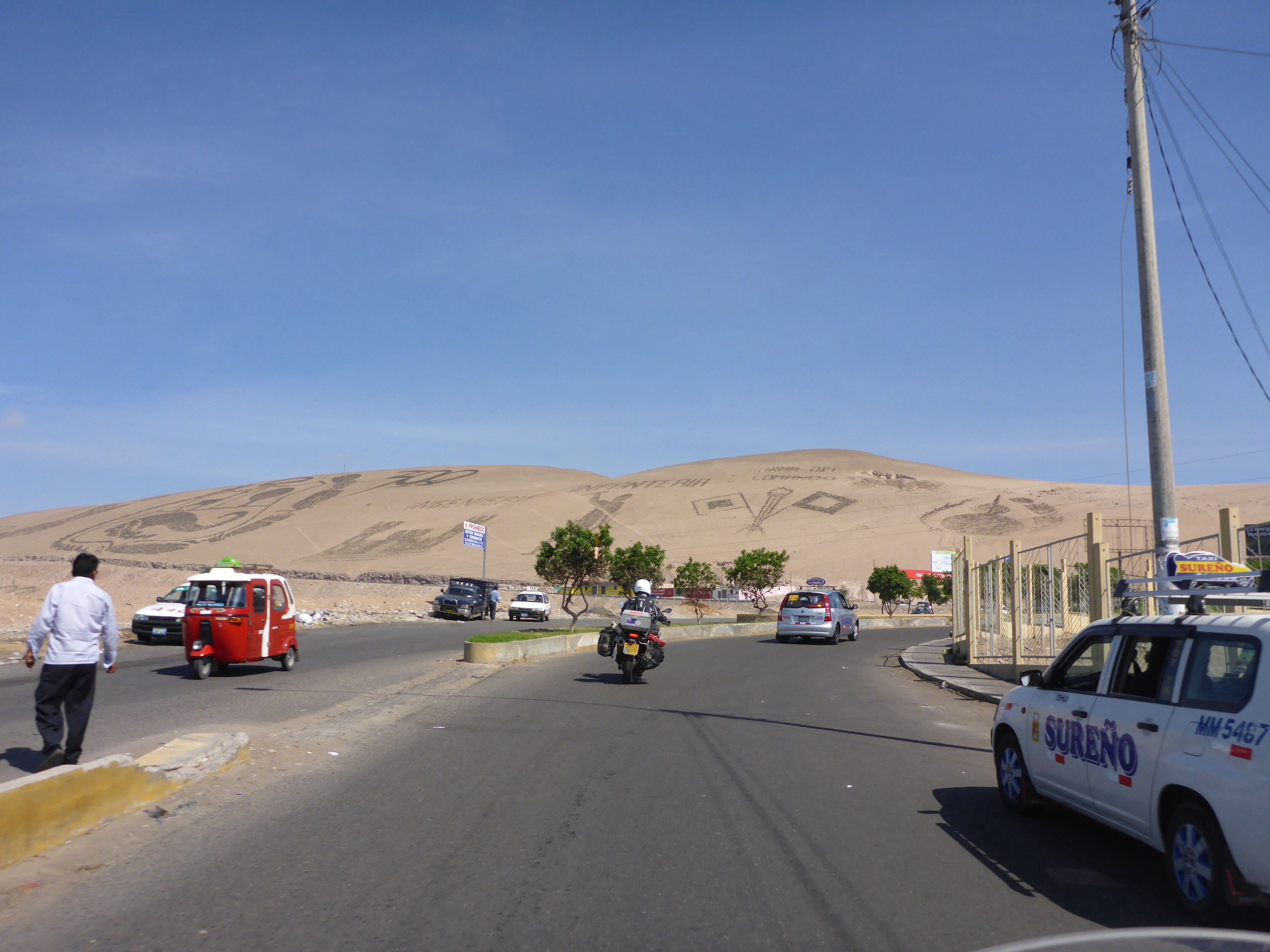
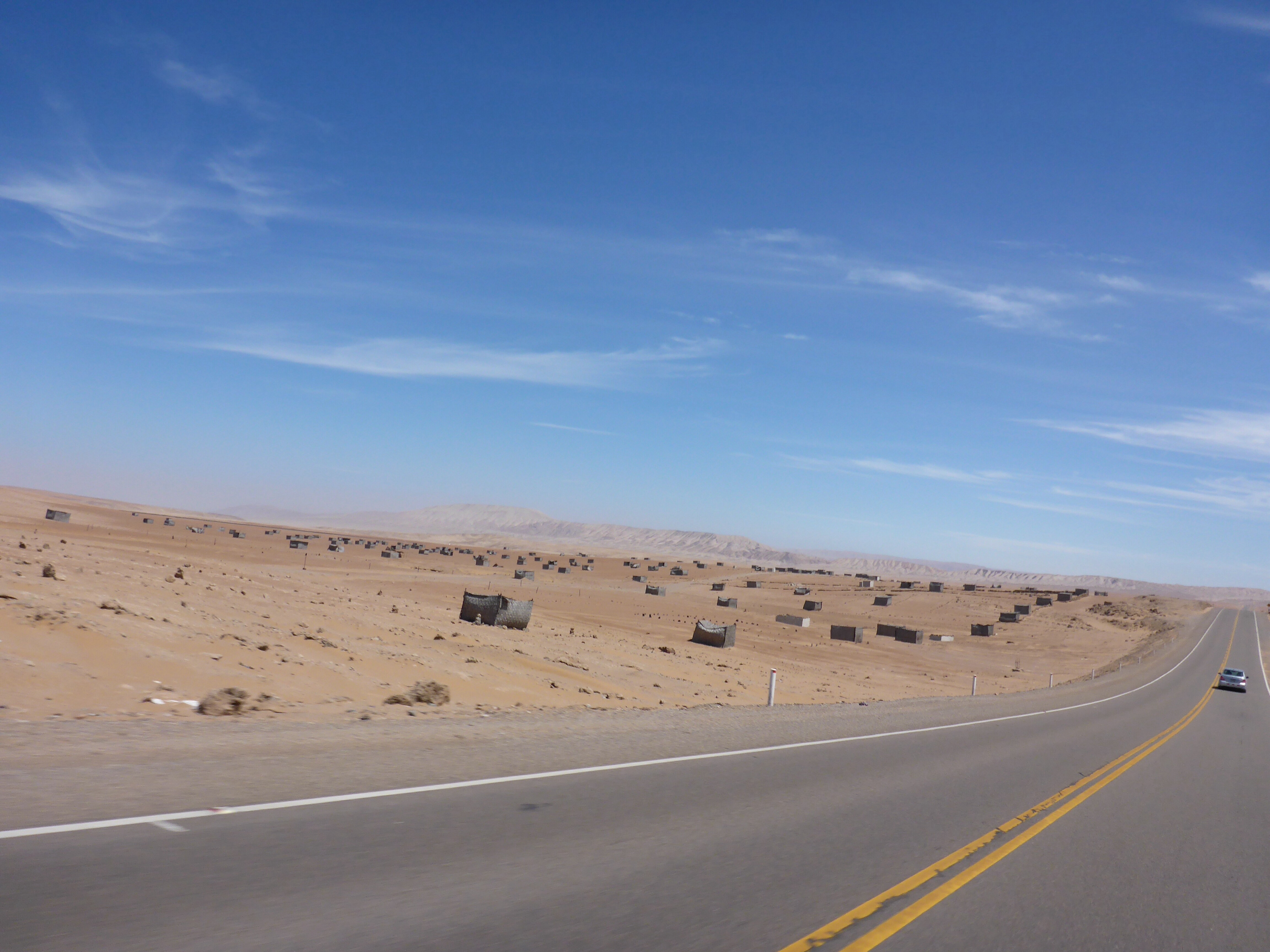
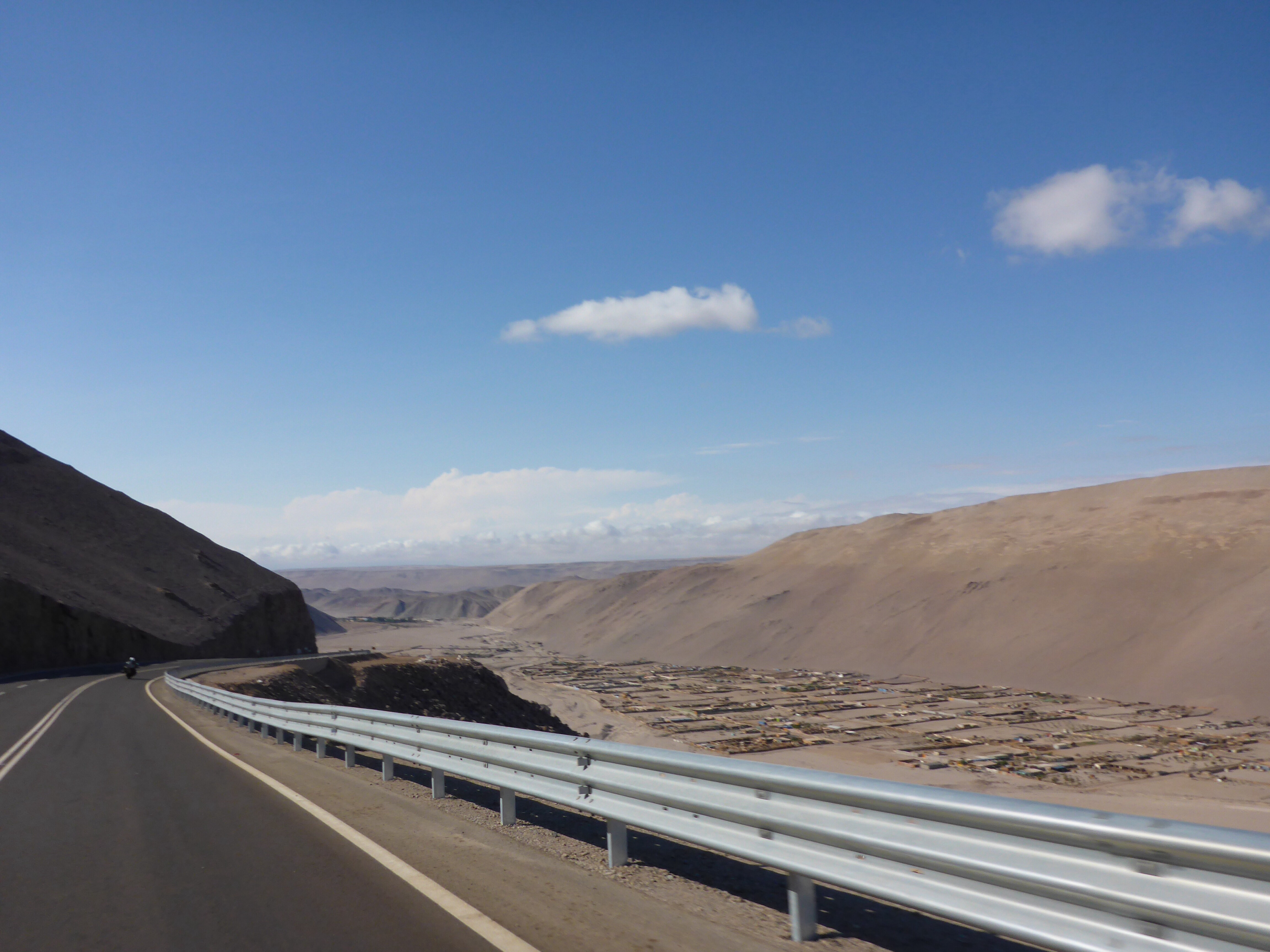
We are very puzzled at the obviously defined parcels of land. Outside Tacna, we saw tiny brick blocks, then they were woven windbreaks with huge “private property – no entry” signs and now, 10′ out of town, there are no shacks or huts, just rocks or the odd branches to mark a property entrance. I suspect blocks of land have been allocated to people by the government but why and how?? And always such barren land. Why bother?? What could anyone do with that land?? I can’t find anything about this but would love to know if anyone reading this has the answer.

What are these tiny concrete blocks outside Tacna??

What can anyone do with these land parcels outside Tacna?
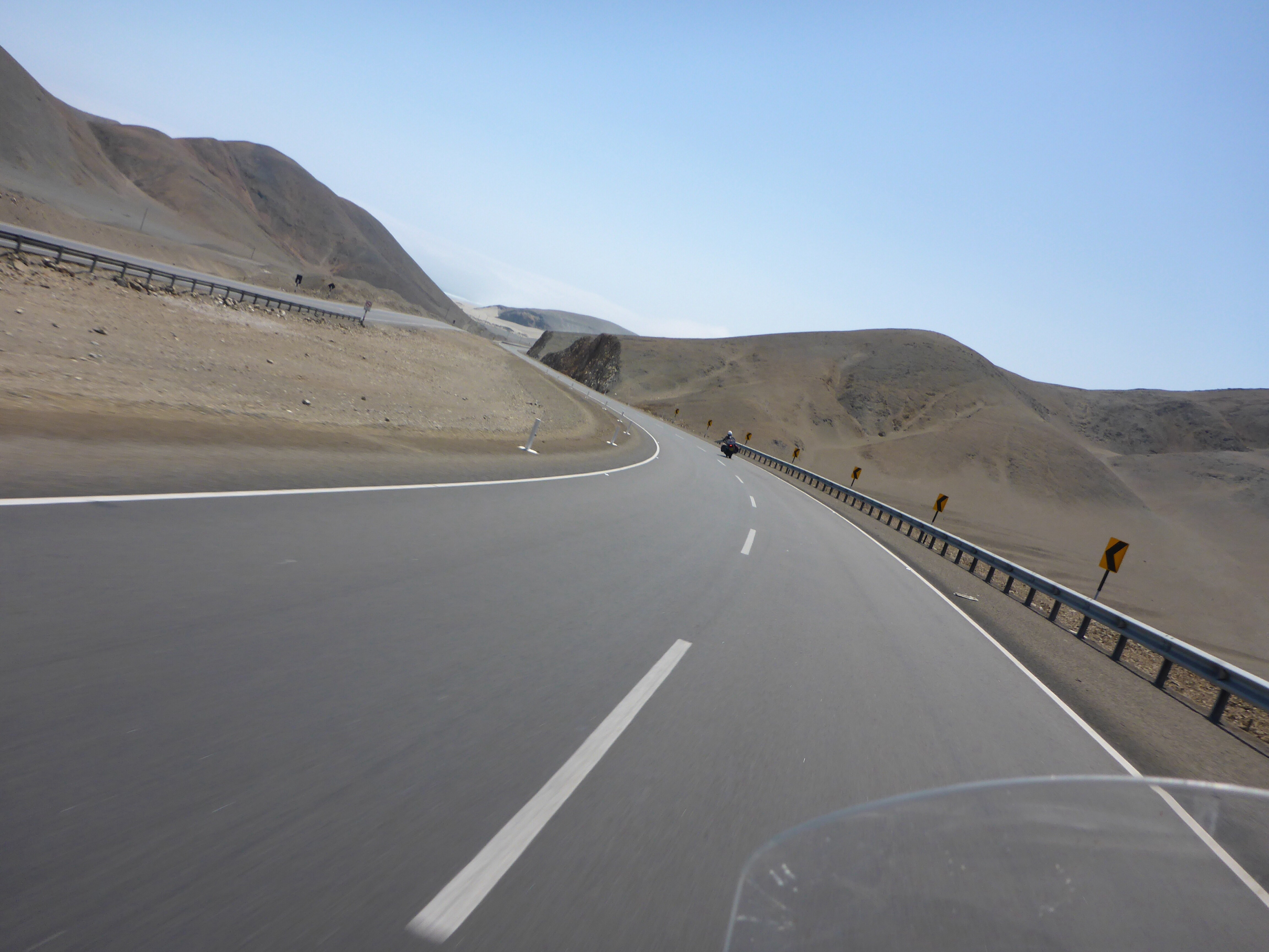
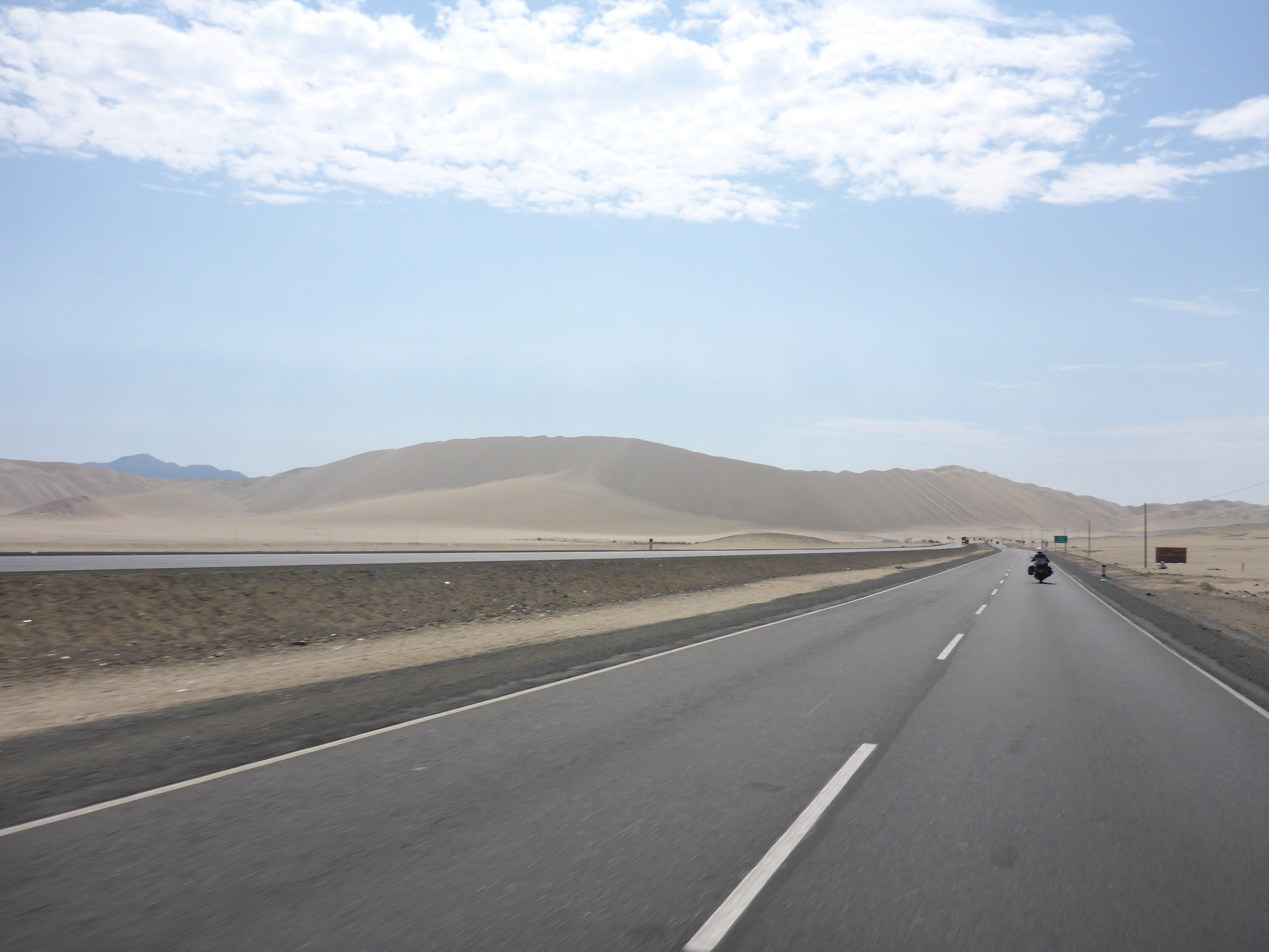
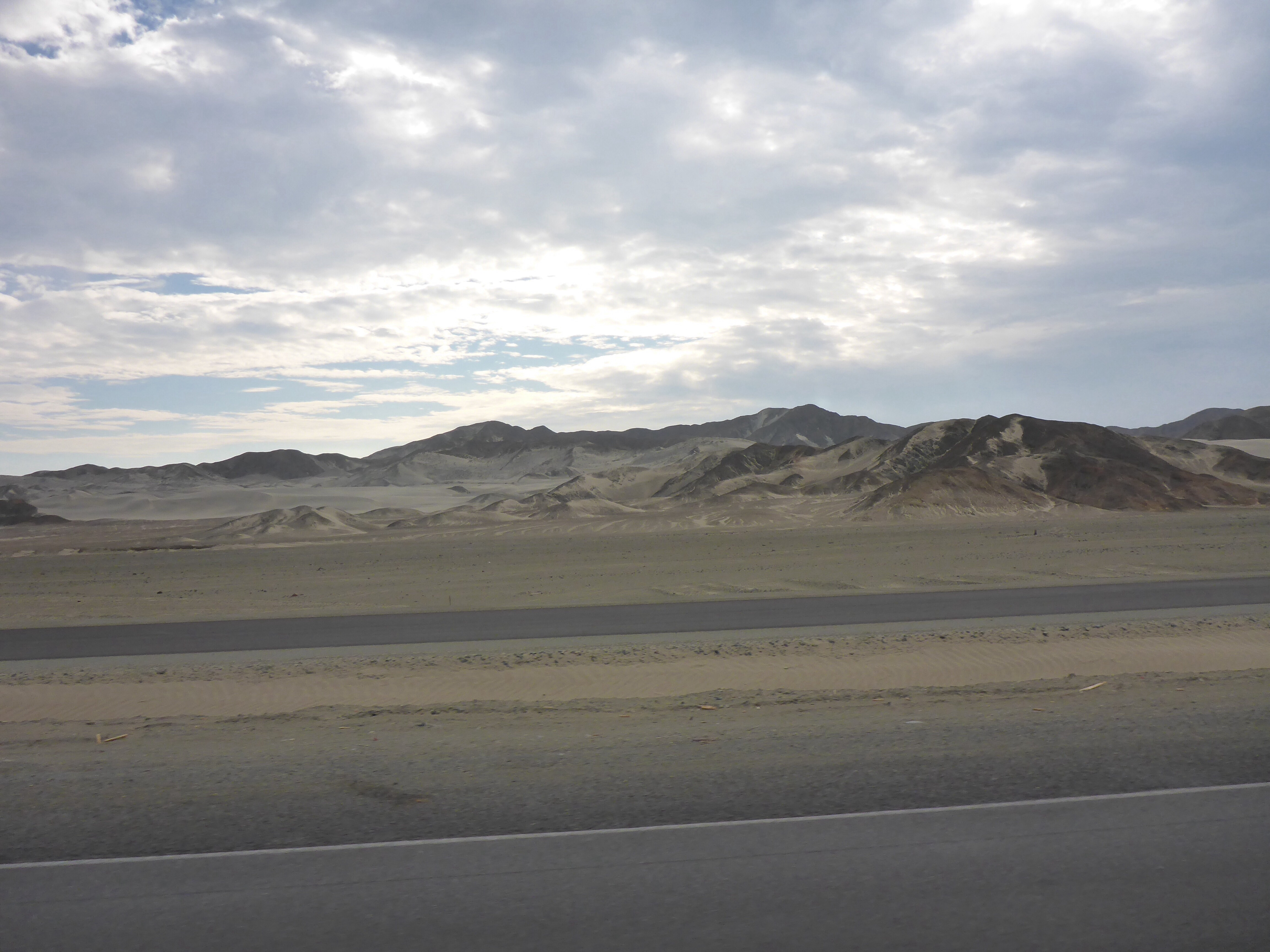
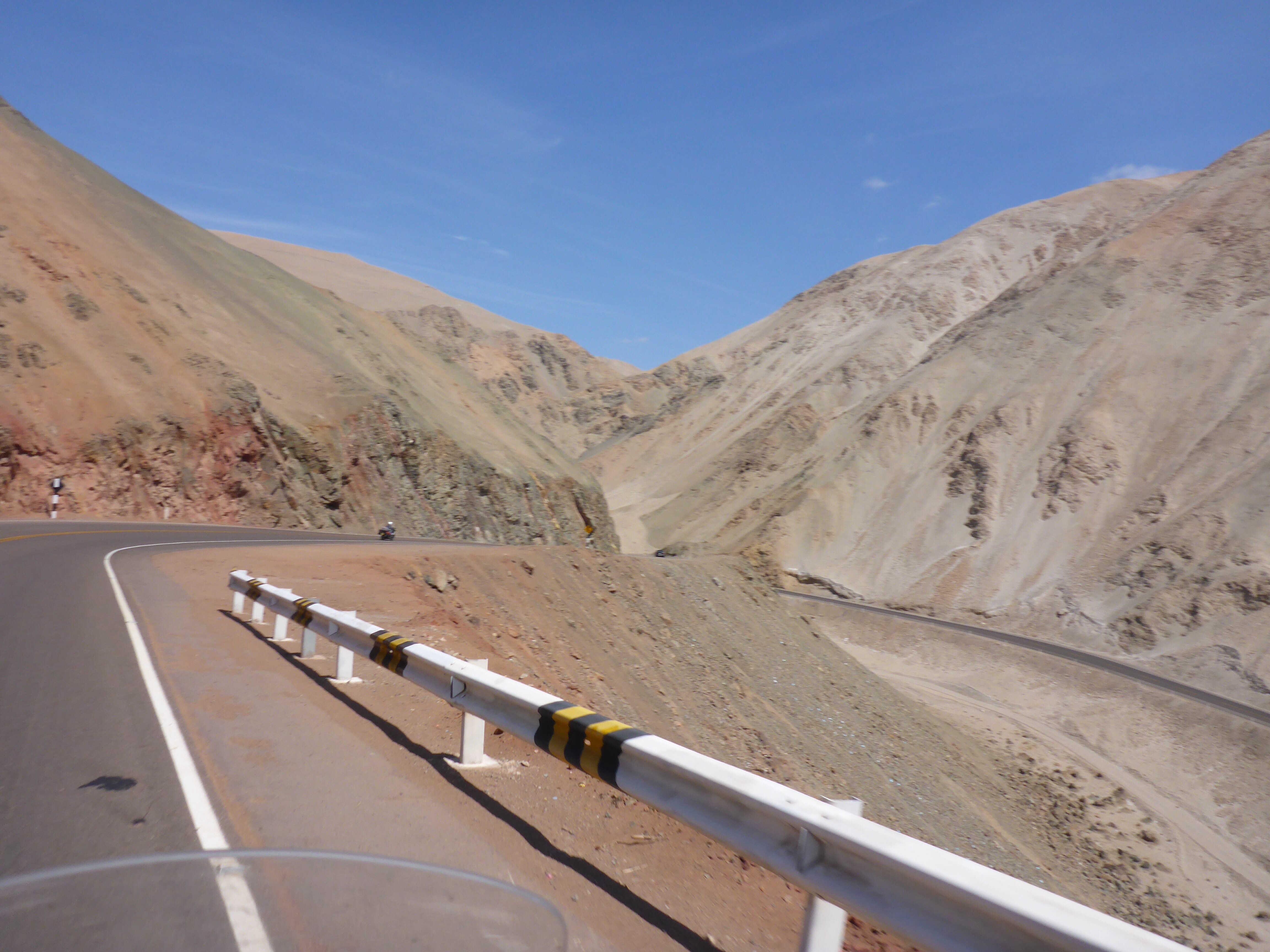
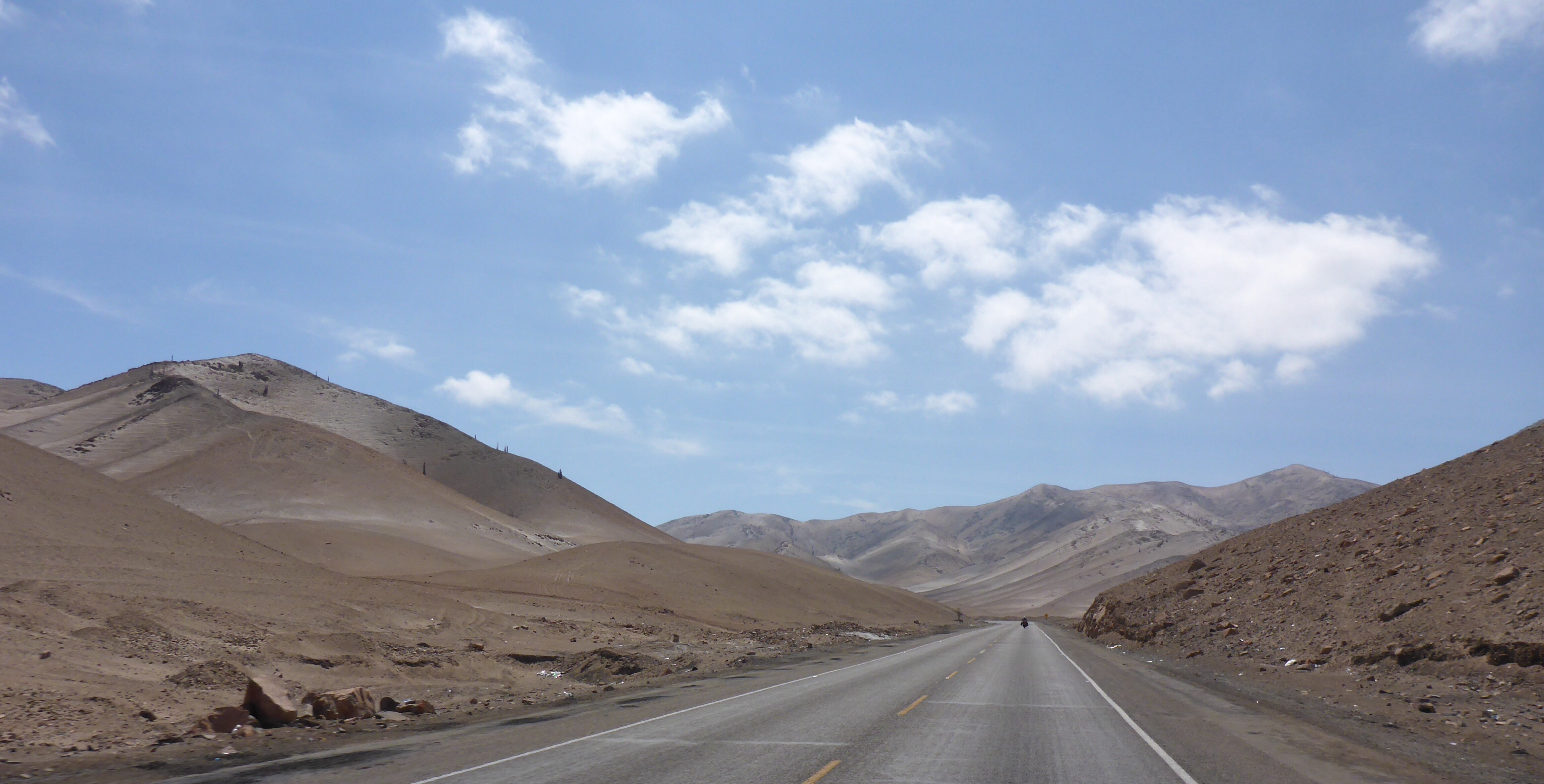
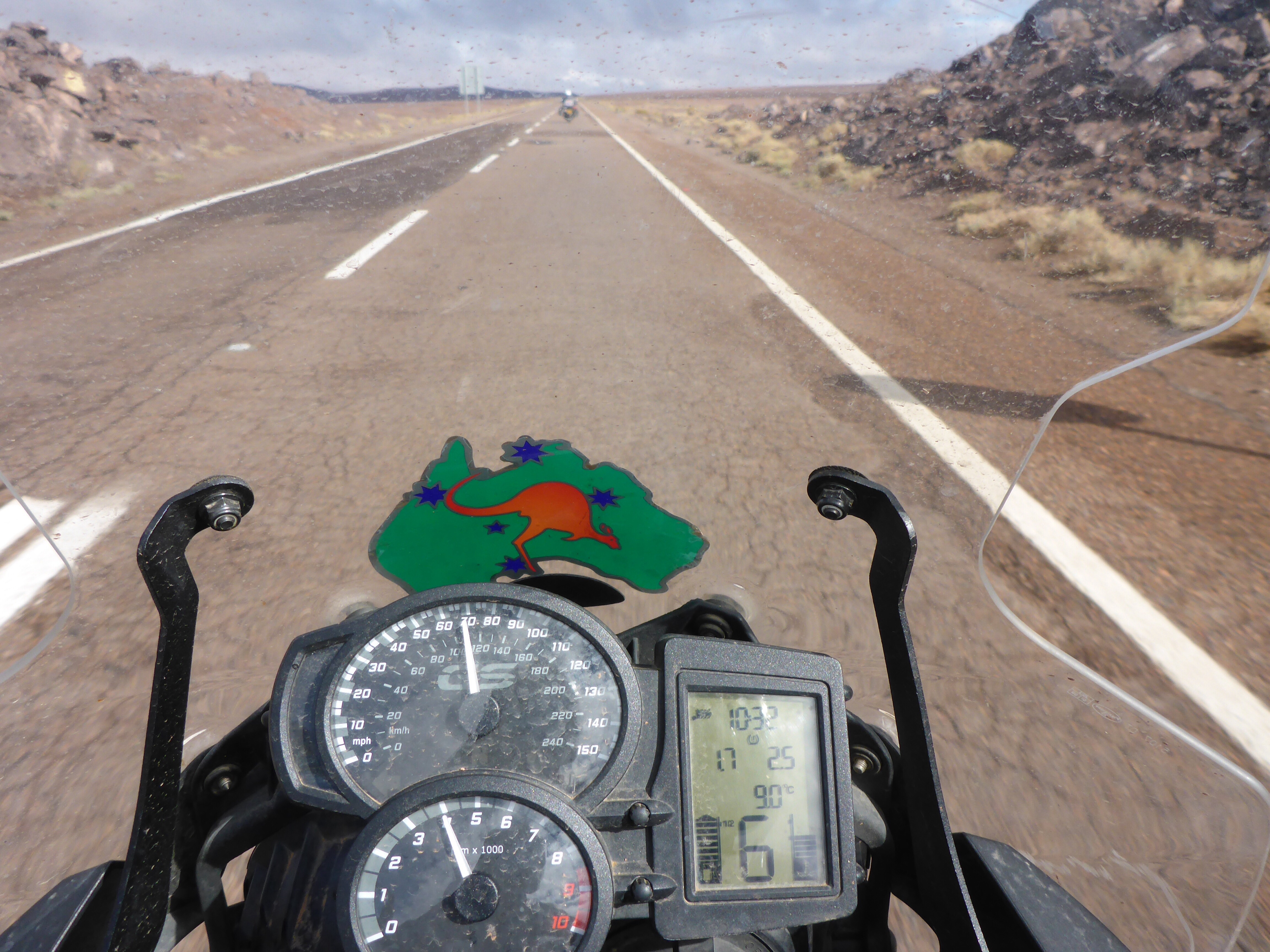
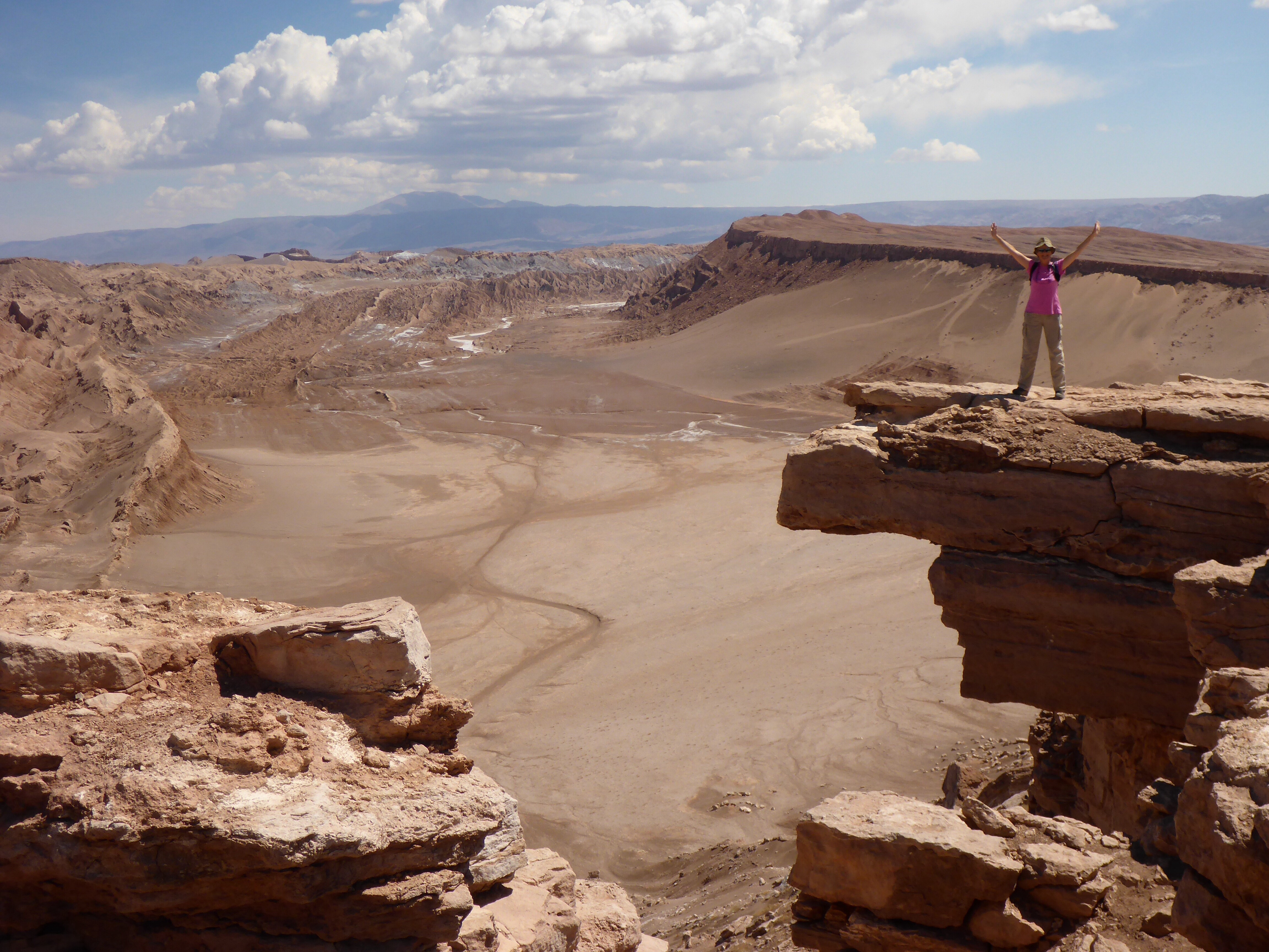
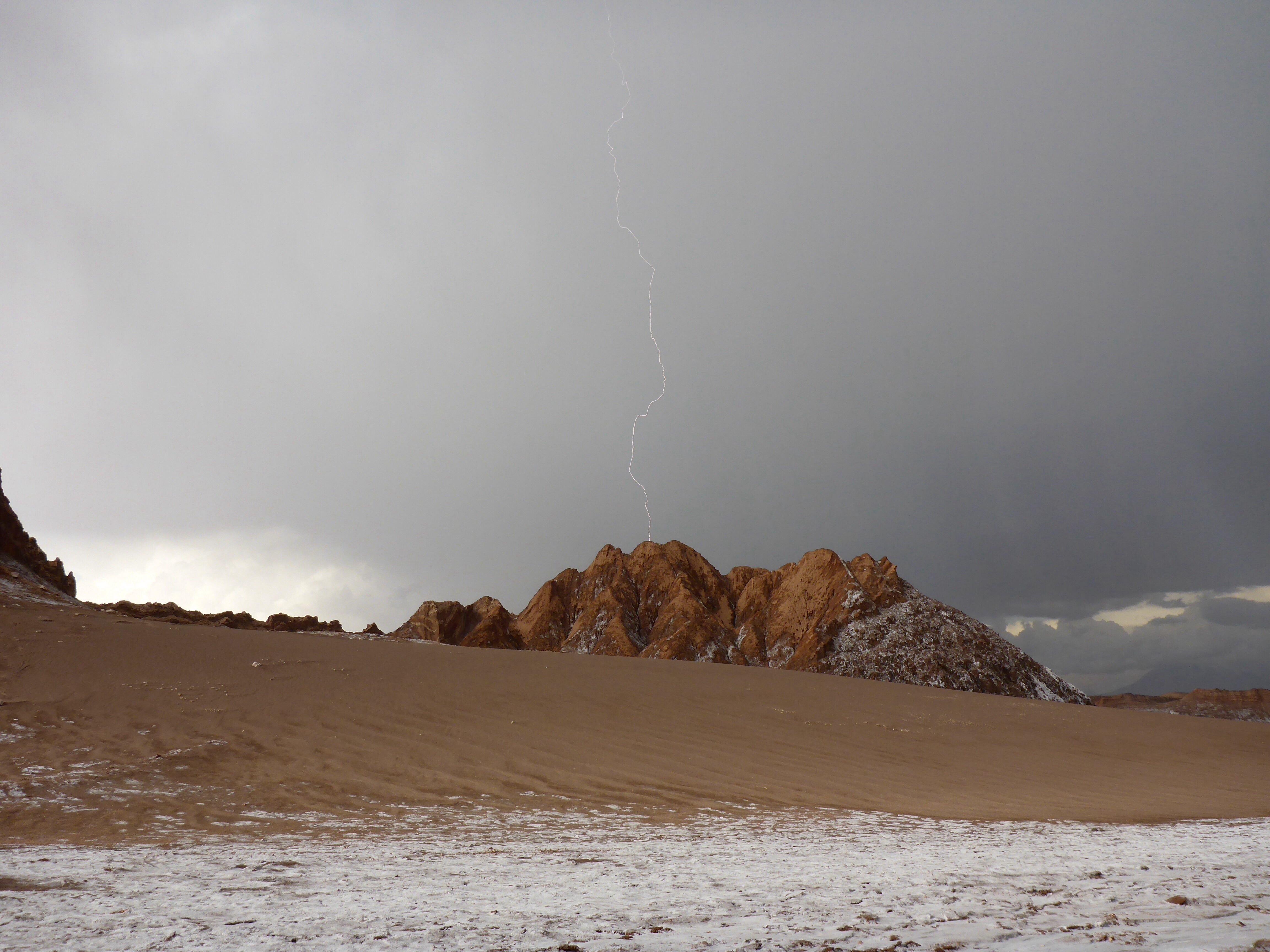
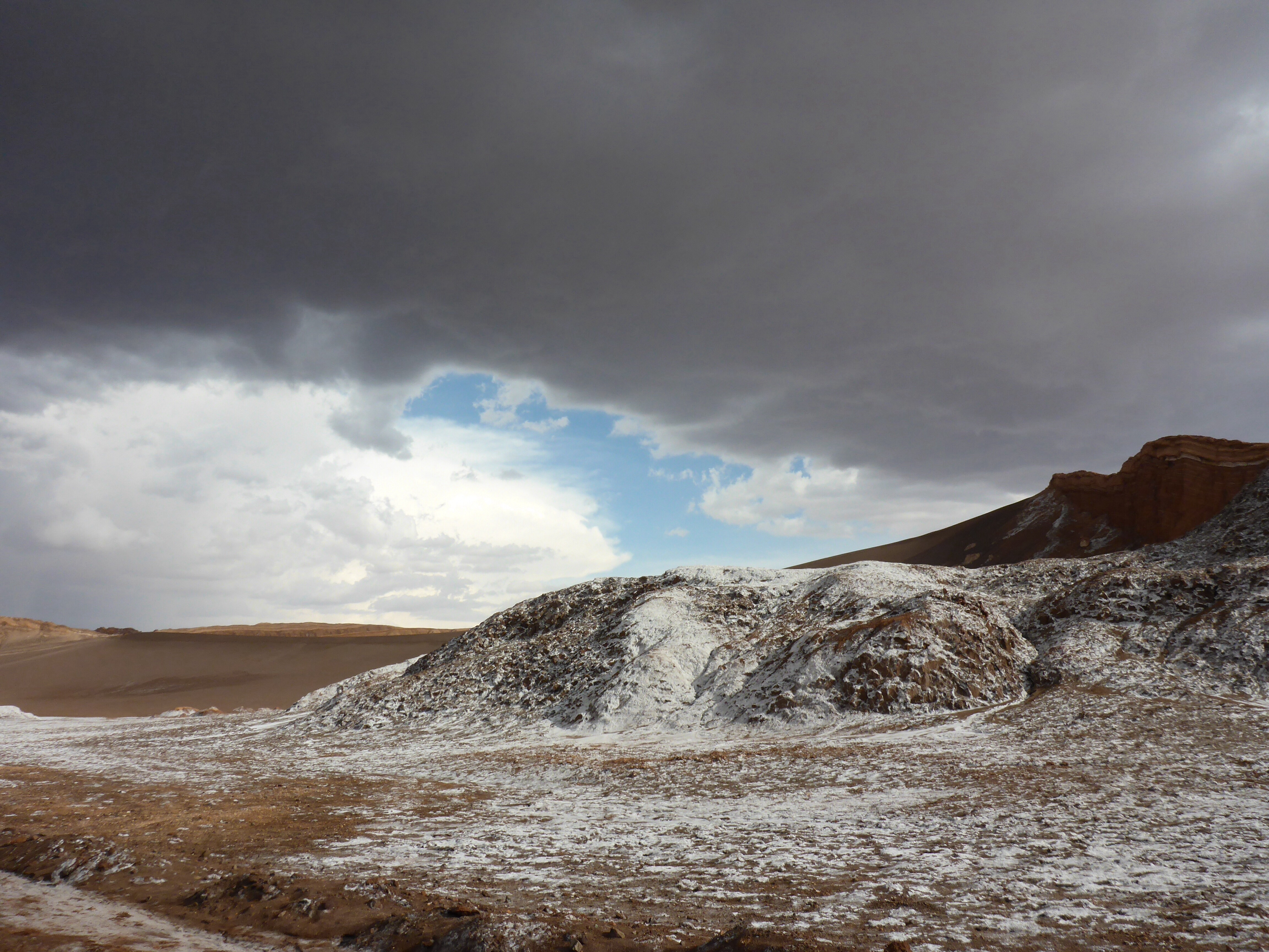
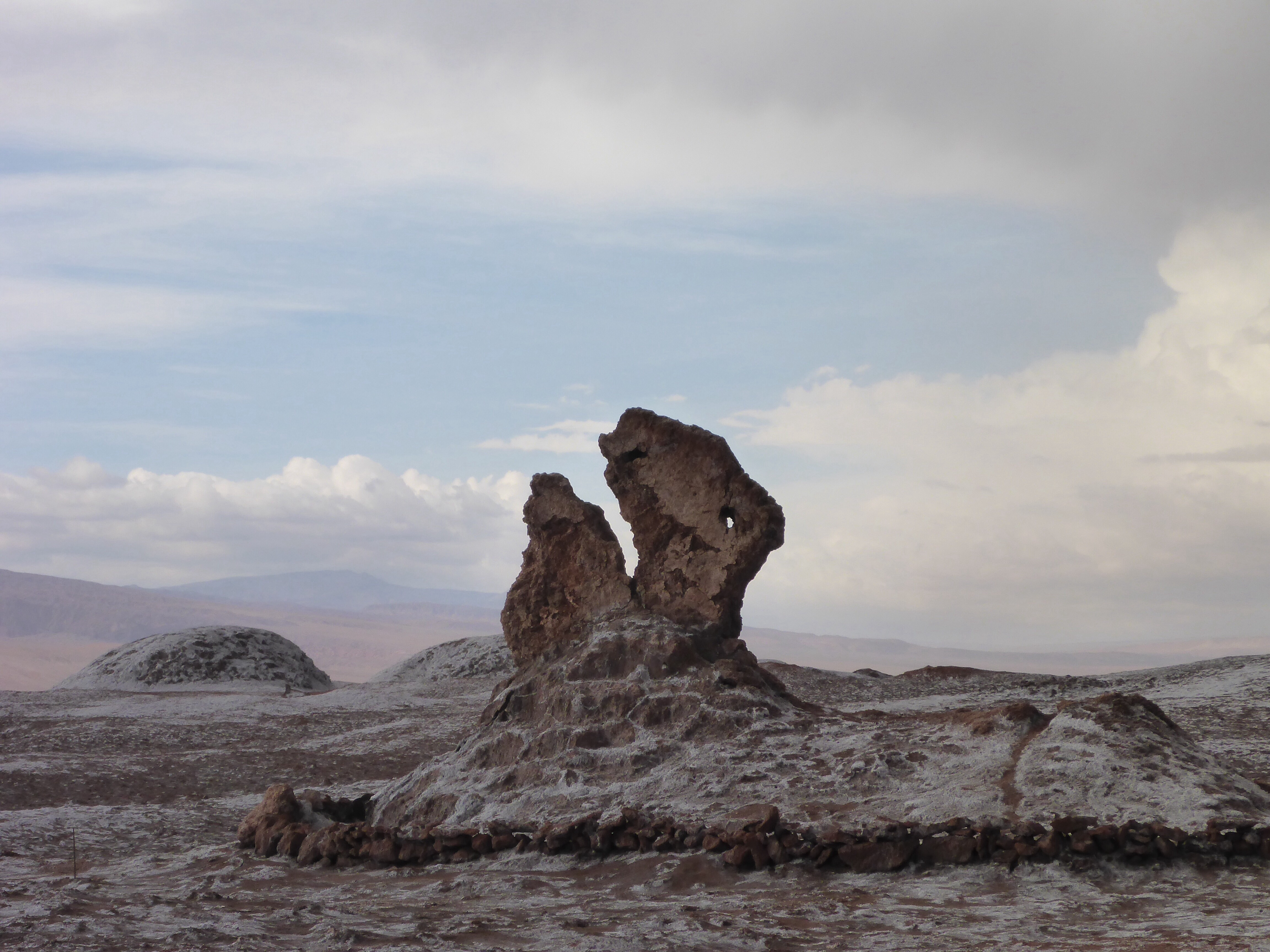
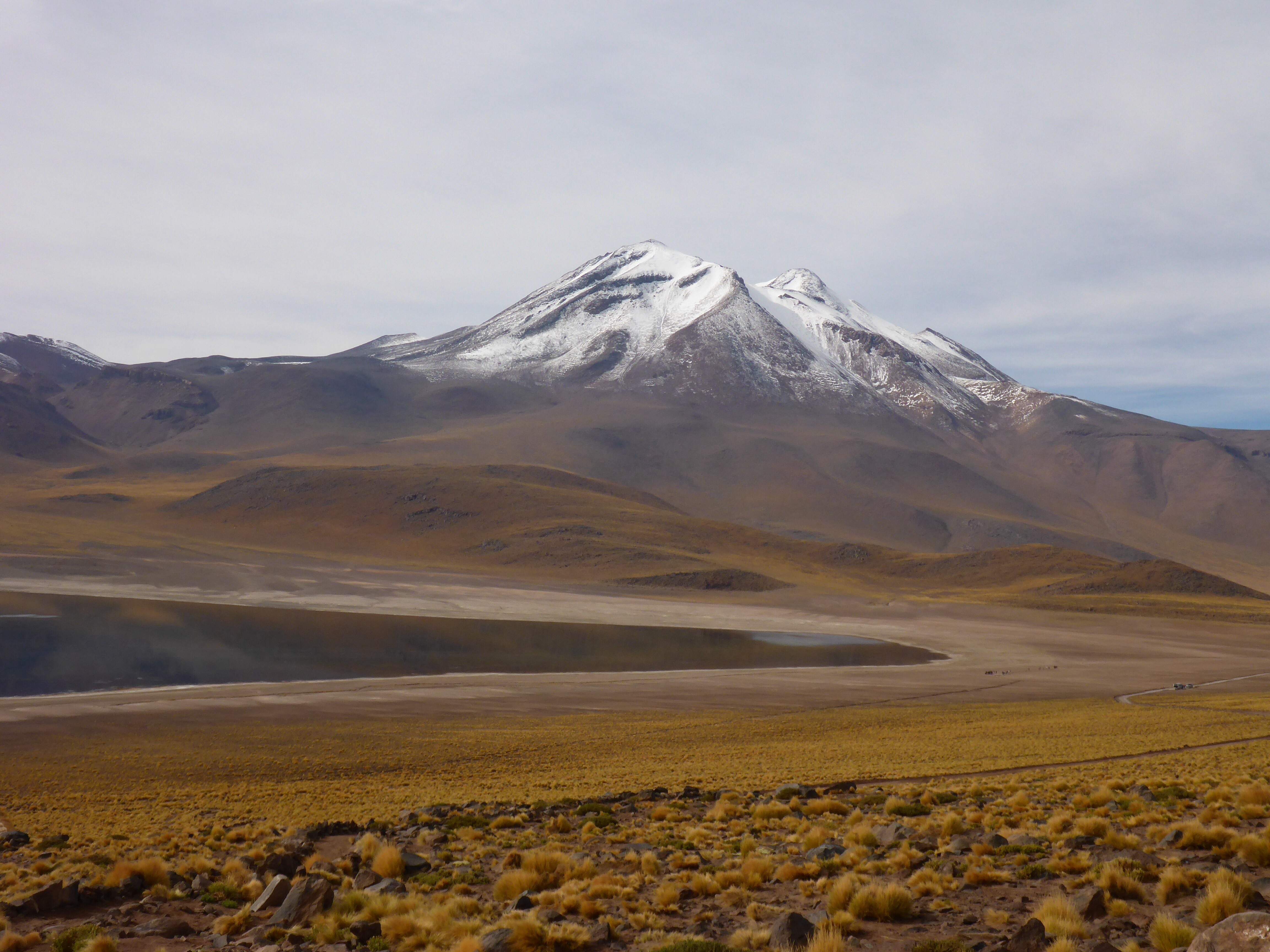
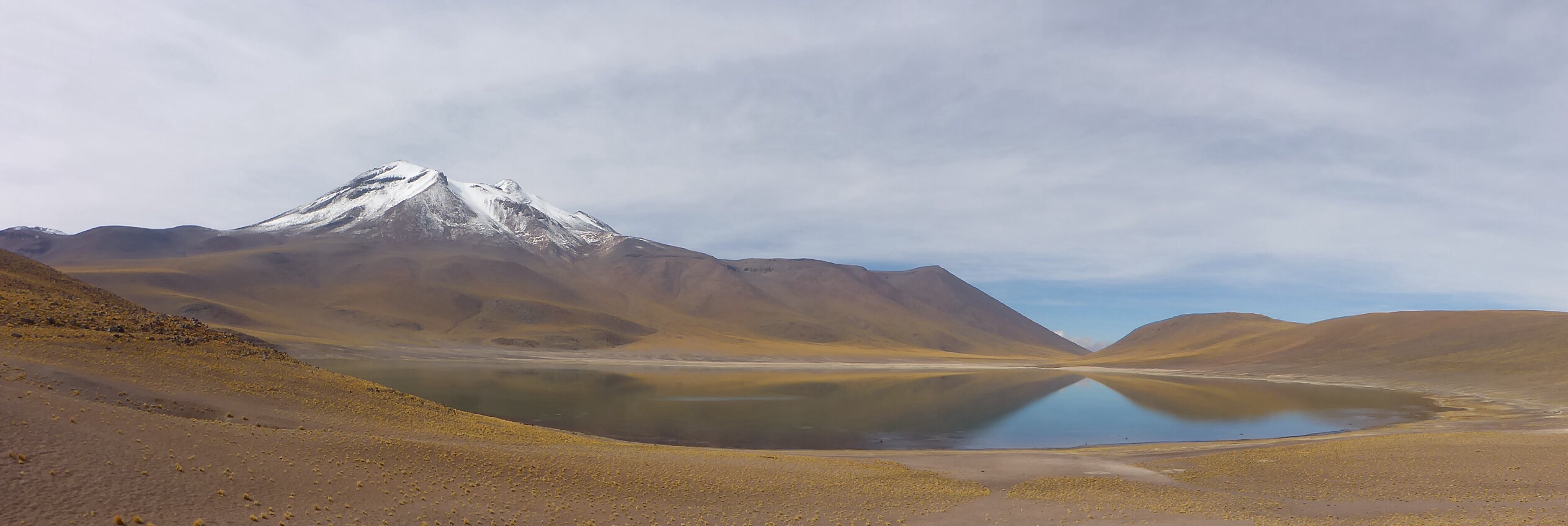
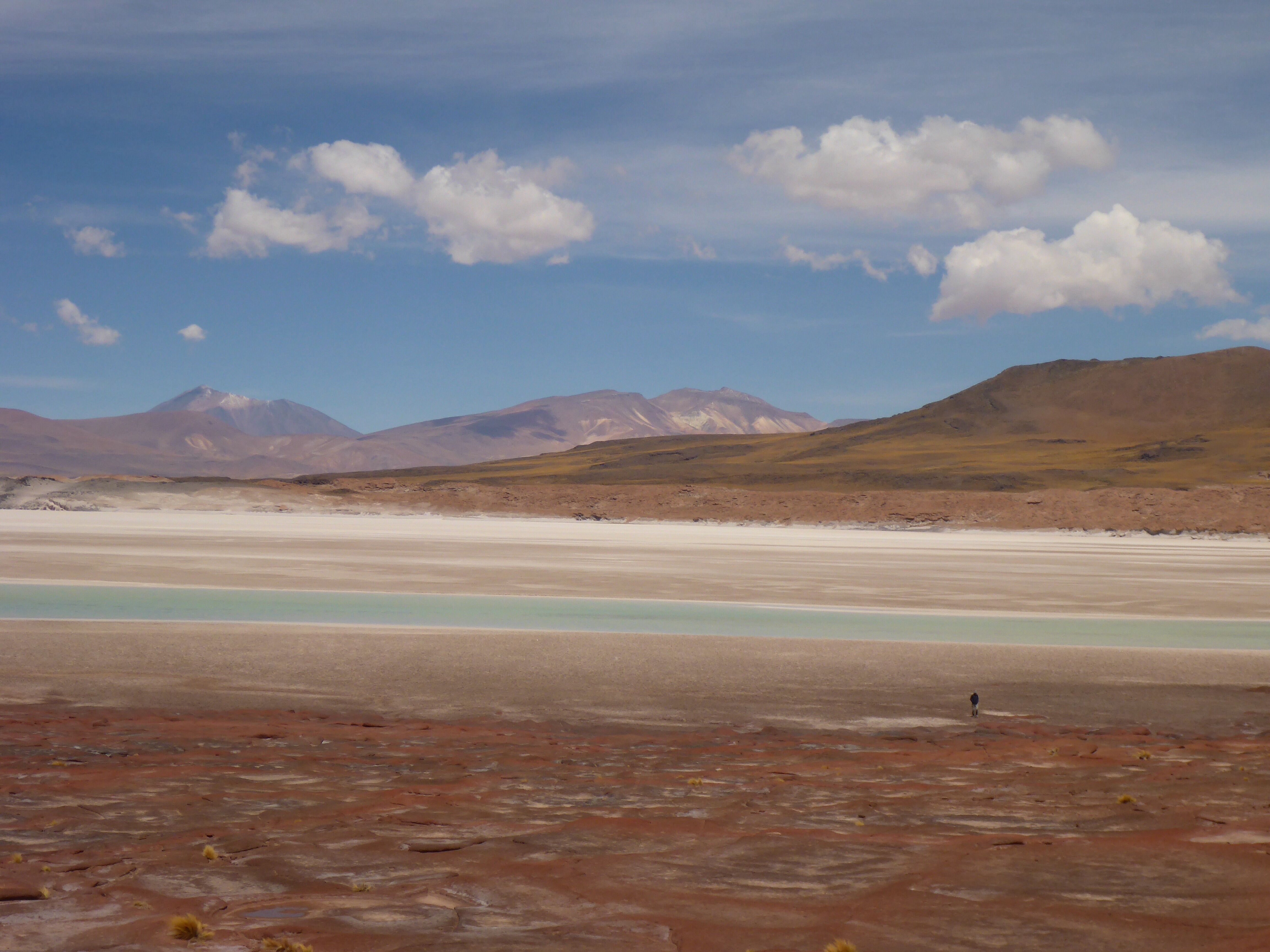
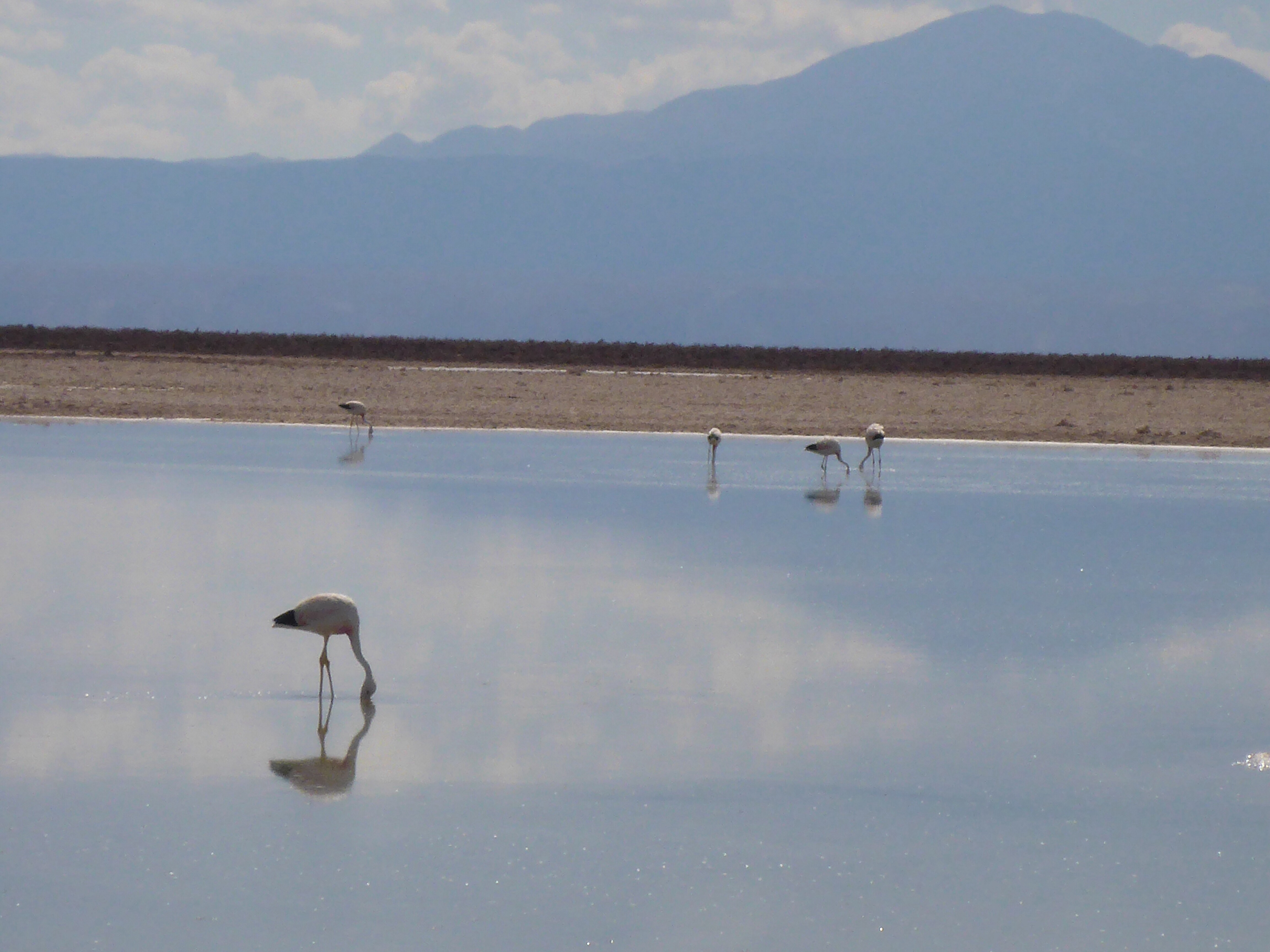
Our ride all day up to 30kms out of Arequipa has to be one of the most beautiful. Long gentle climbs to high plateaus, perfect curves for bike riding, little traffic, then stunning descents through gorges down to the greenest and lush valleys. Again, it seemed that the colour of the rock changes at every corner – how many shades of grey, beige and red can nature create?! A most magical ride. We make several stops just to take in the scenery.

Heading down into Moquegua valley

Moquegua valley

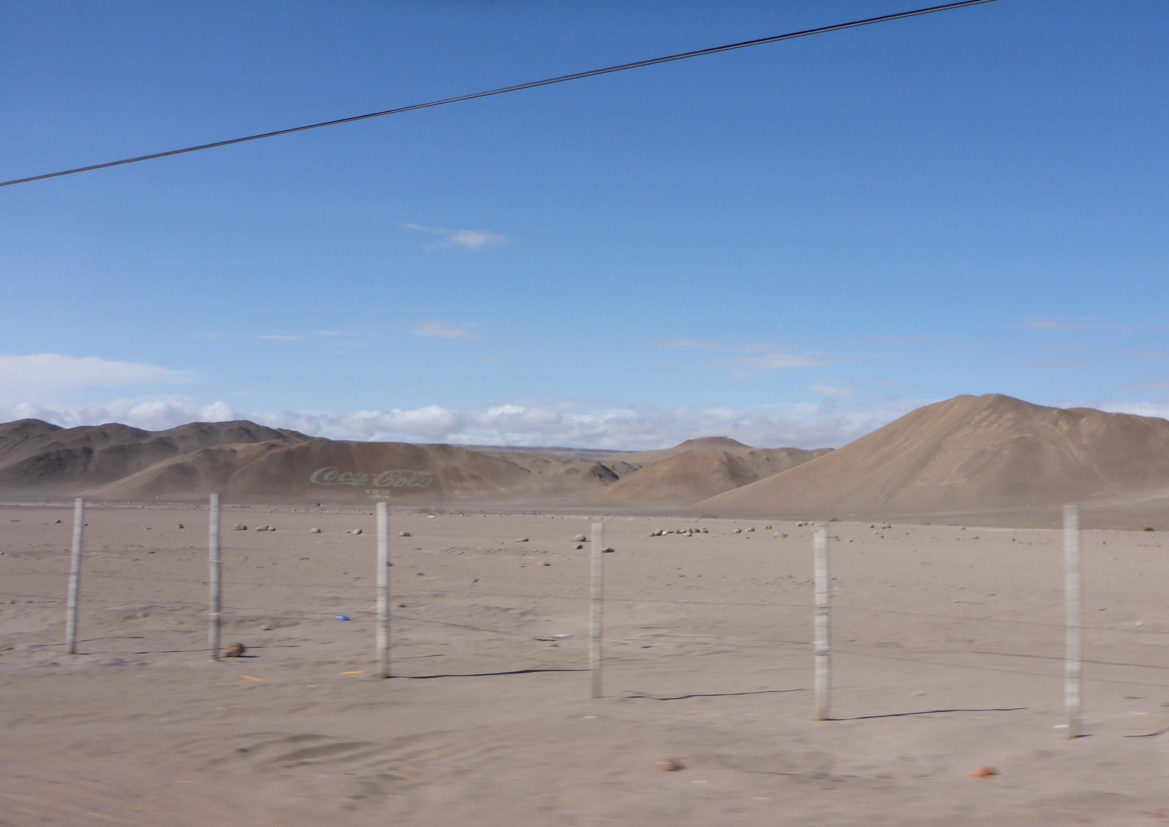
Moquegua also has those tiny parcels and shacks but there is no sign of life anywhere

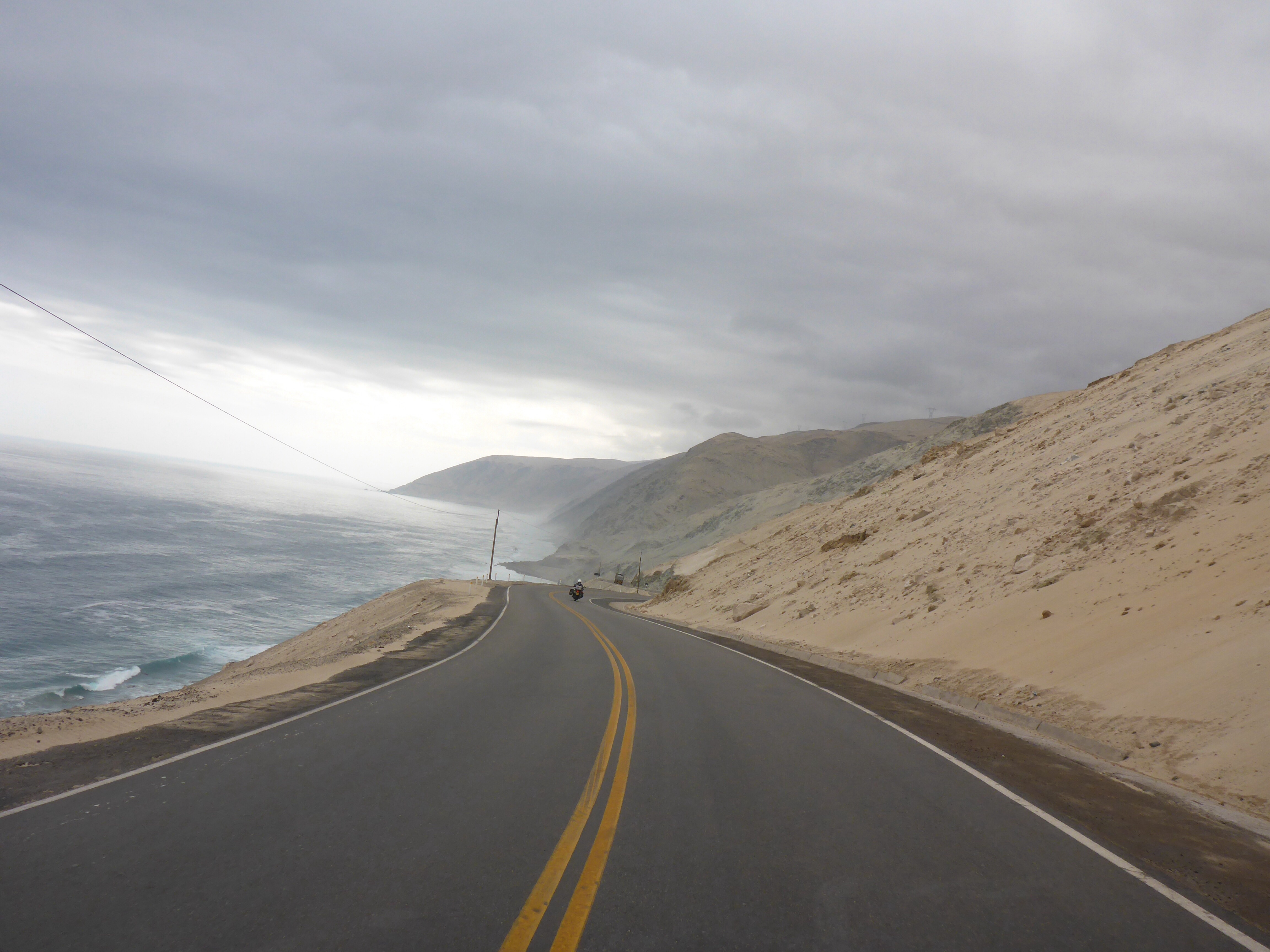
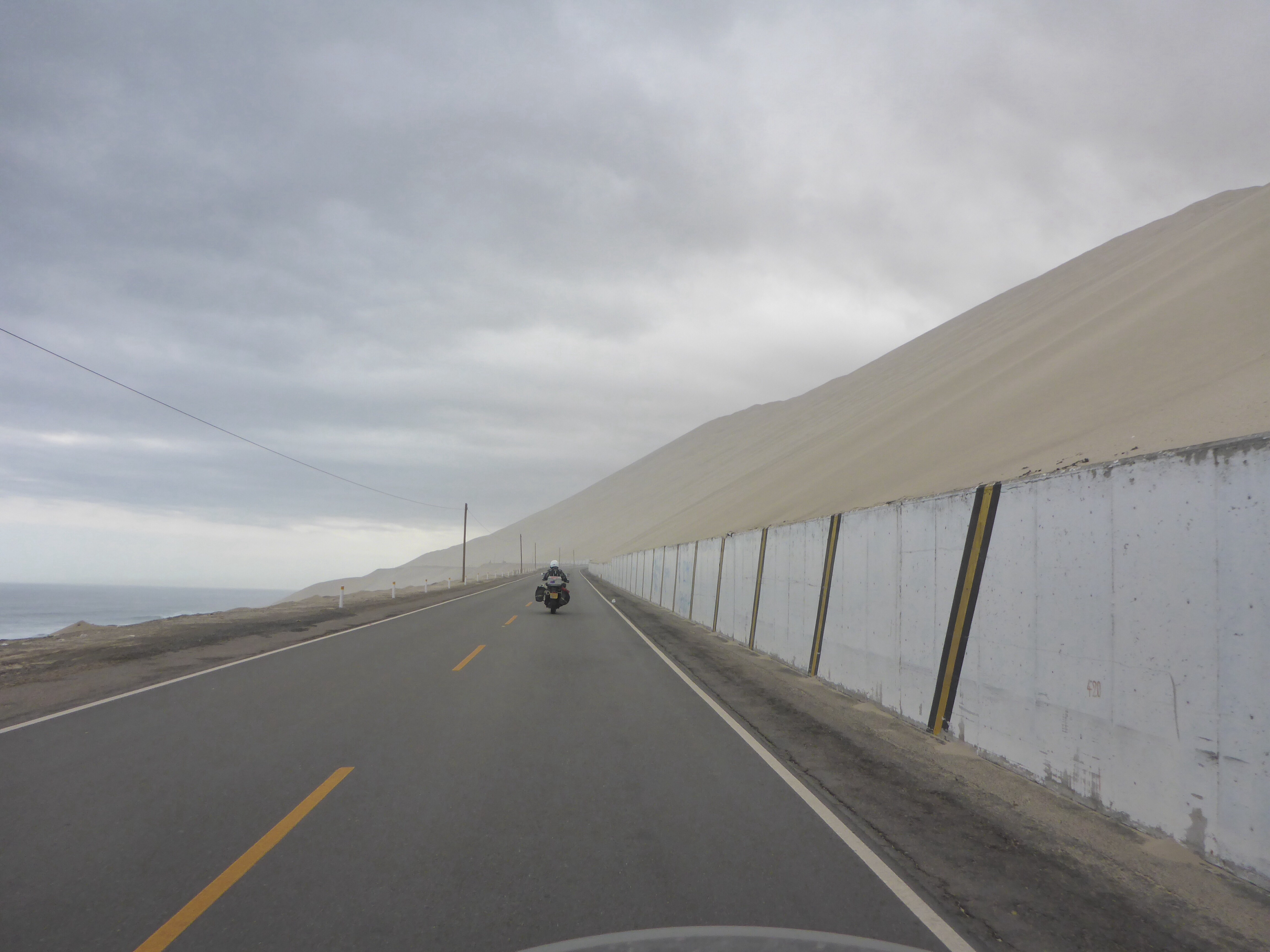
Along the PanAmerican Hwy between Moquegua and Cocachacra valley

Along the PanAmerican Hwy between Moquegua and Cocachacra valley

Starting to head down into the Cocachacra valley

The river Tambo has carved a stunning canyon

Still going down towards the river Tambo

Each turn reveals a different aspect of the canyon

The lush green valley along the river Tambo

Looking back for a last look at the stunning valley

Starting another long ascent from the valley floor

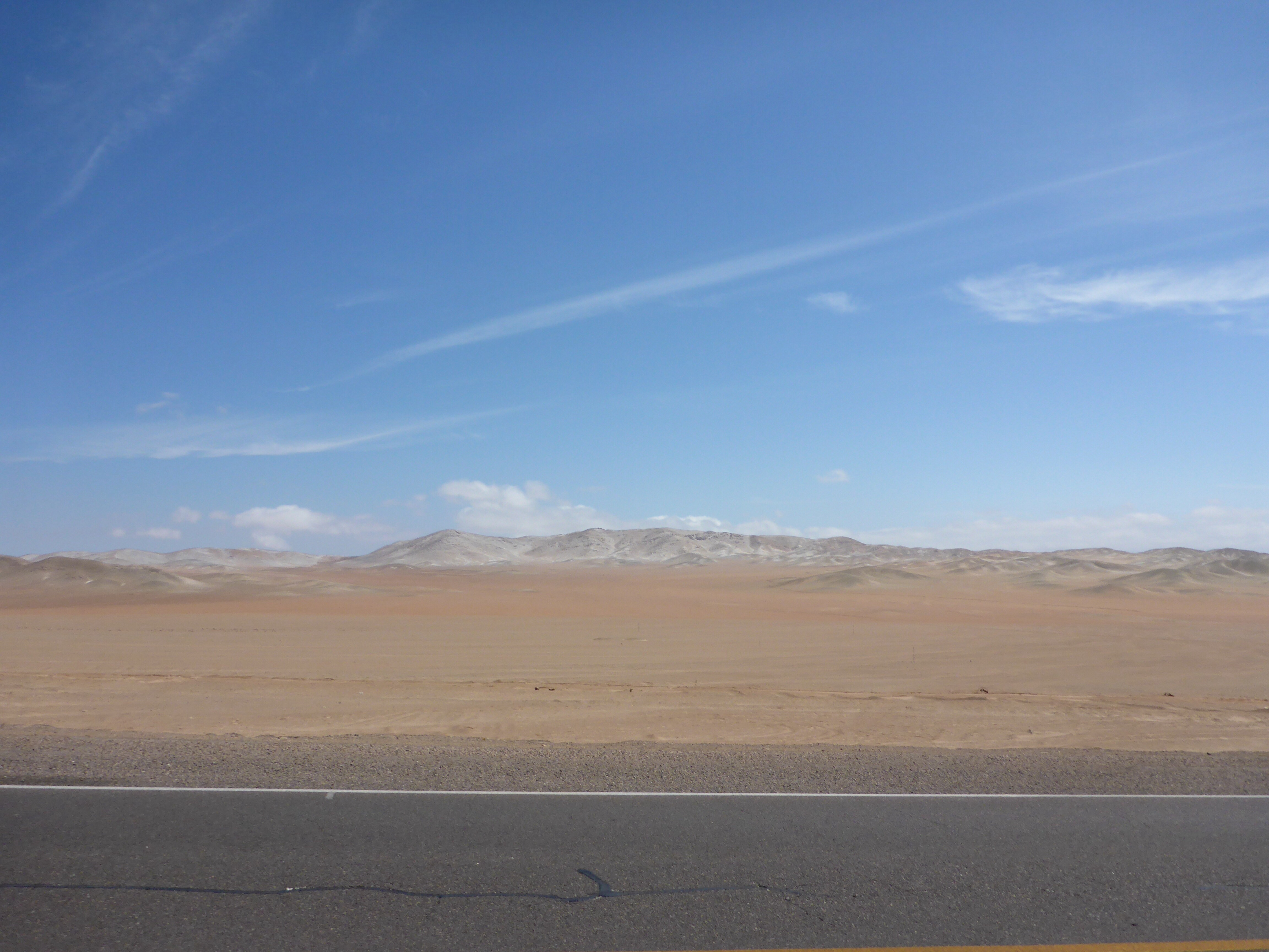
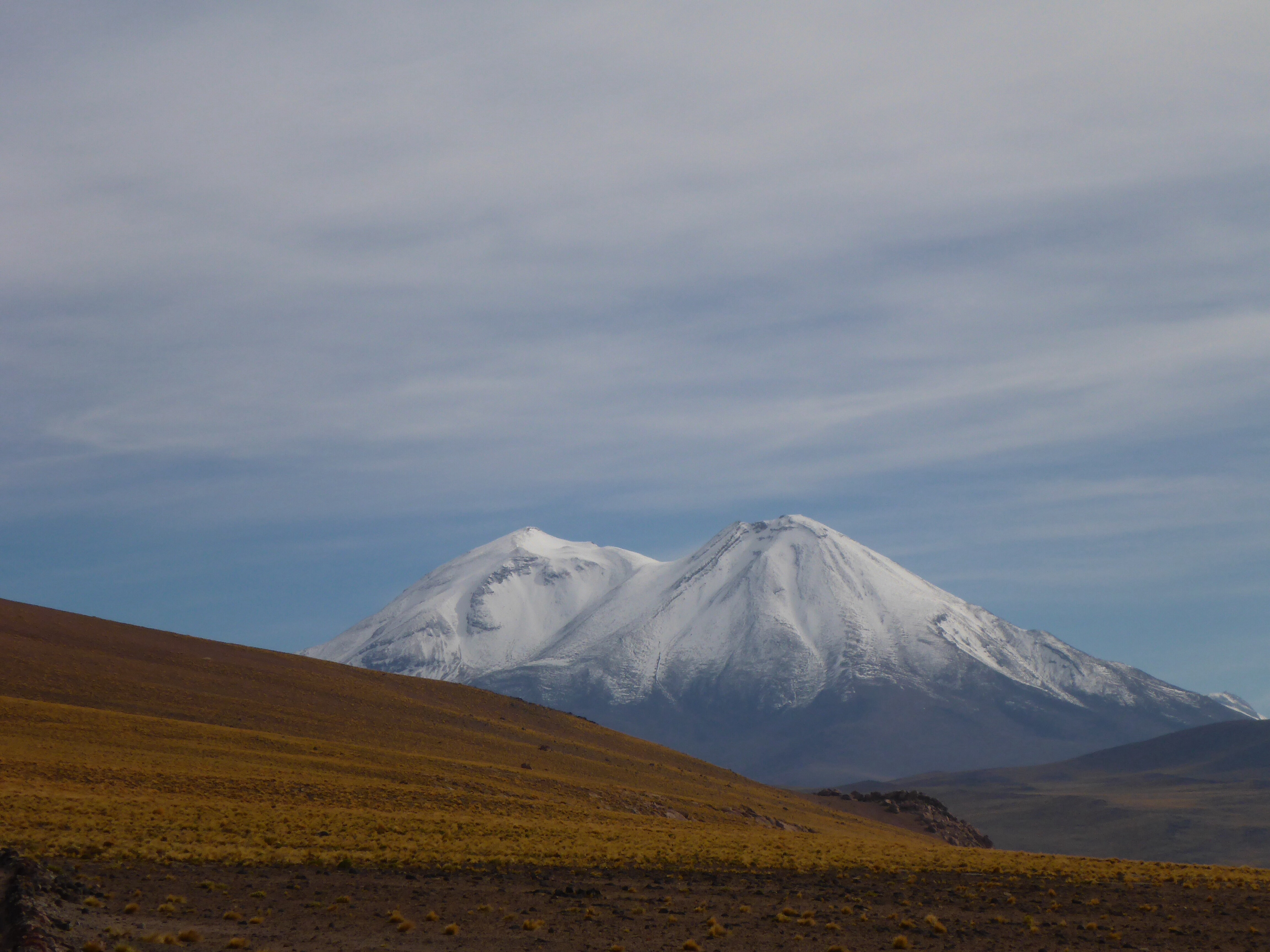
High plateau an hour out of Arequipa

Time for another stop on this high plateau an hour out of Arequipa

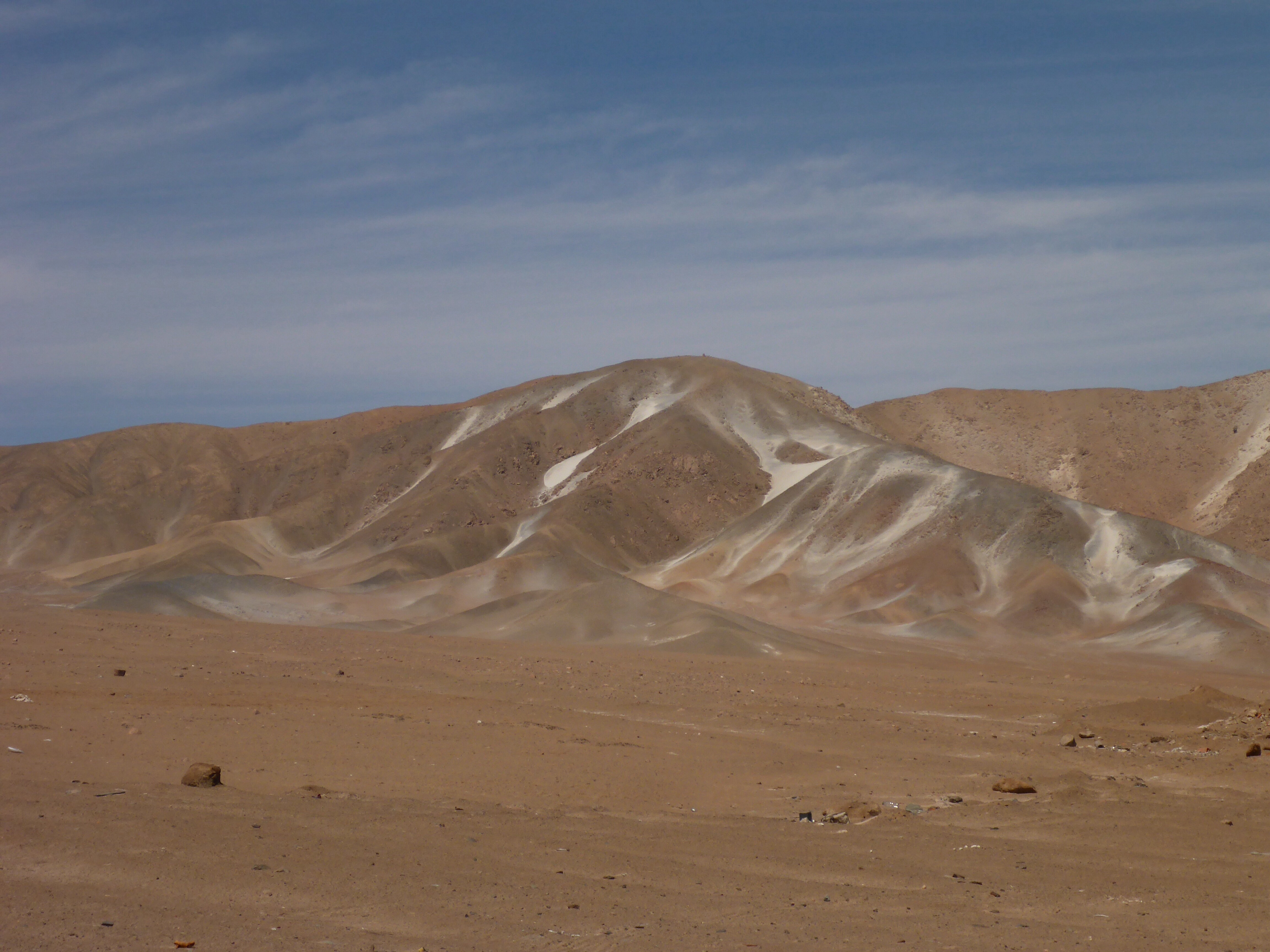
45′ south of Arequipa – soft grey sand covers the mountains
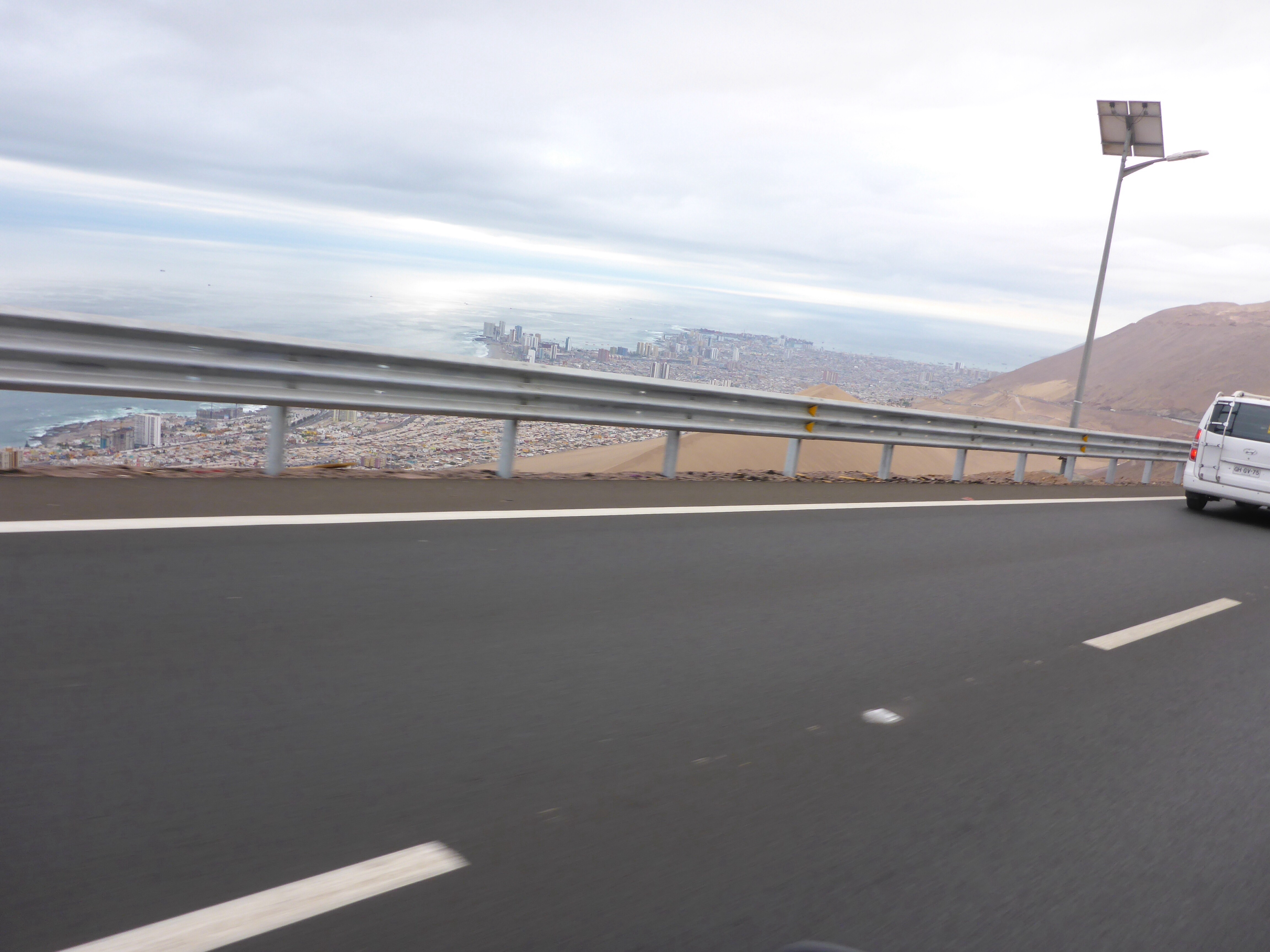
And then we get 30kms out of Arequipa. The change is brutal. The climb up is tough as there is a massive long line of slow trucks, single lane each way, and no room to overtake – feathering the clutch for kilometers up the mountain. As we plateau, we get to a suburb of Arequipa: it is completely under water due to the recent rains!! It suddenly feels like we are back in Indian traffic – the problem is that we were not mentally prepared for that. It is horrid. Impatient drivers, stop-start, in the middle of the damaged potholed flooded road. And our poor bikes are suffering from bad fuel: both died at most inconvenient times and keep spluttering. No fun at all…
We are glad to arrive at our hotel after a very long day!!!

View from our Katari hotel room in Arequipa
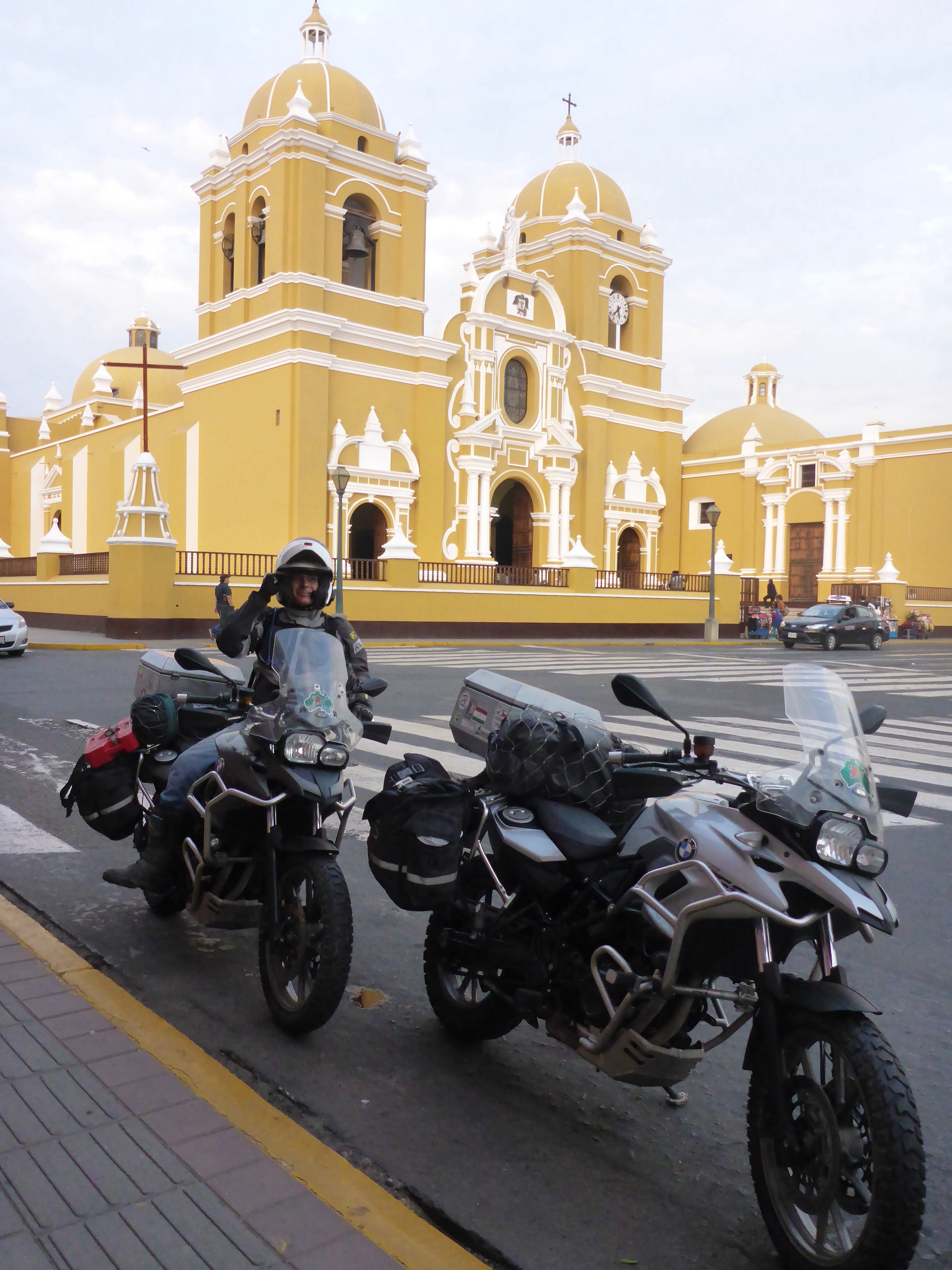
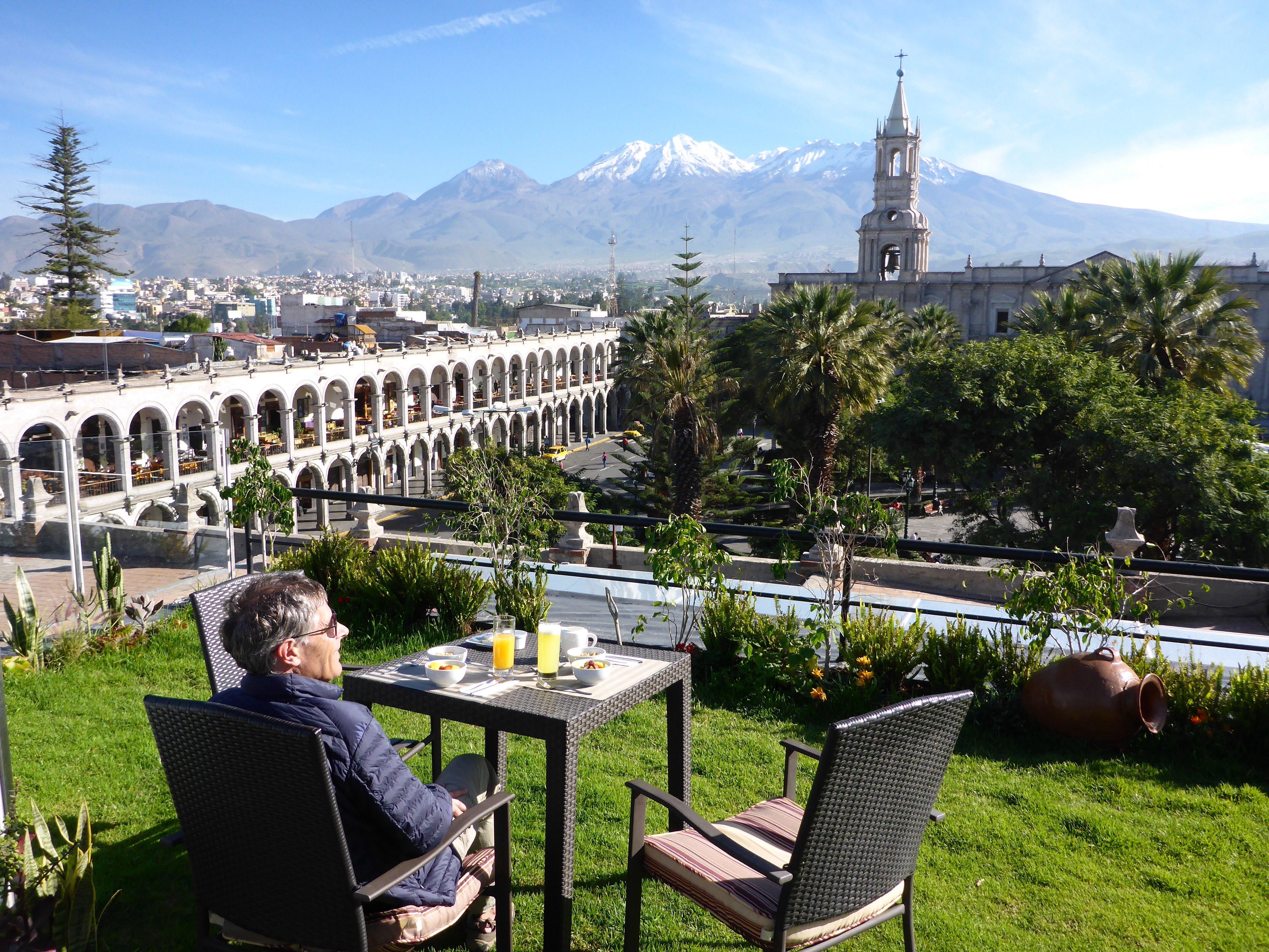
We end up spending 5 days in Arequipa. Our bodies said rest, so we did. Our hotel, right on the Plaza de Armas is beautifully located. We are right in the centre of yet another UNESCO world heritage listed site. Arequipa was founded in 1540 shortly after the Spanish conquest and the architecture is breathtaking.
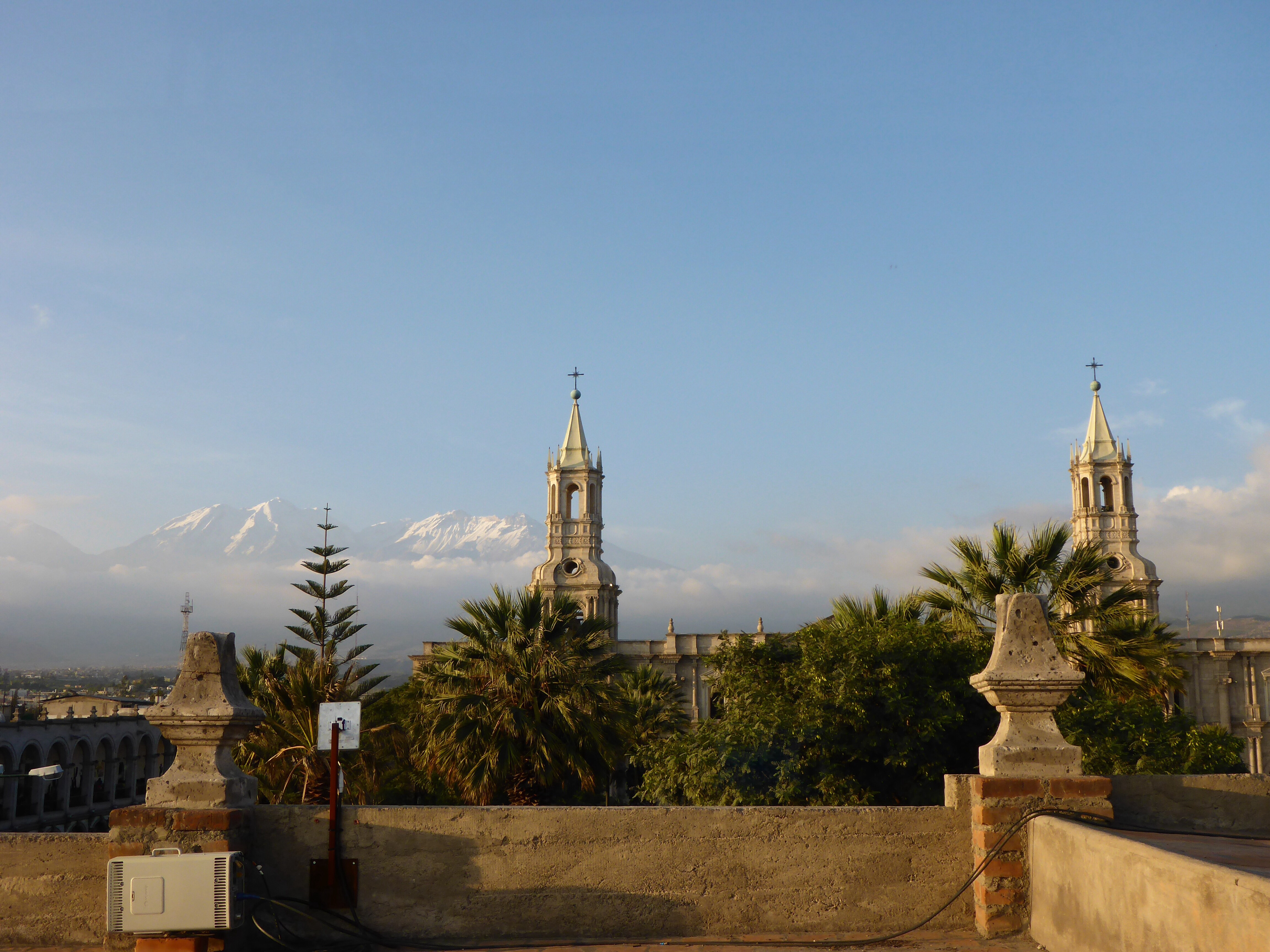
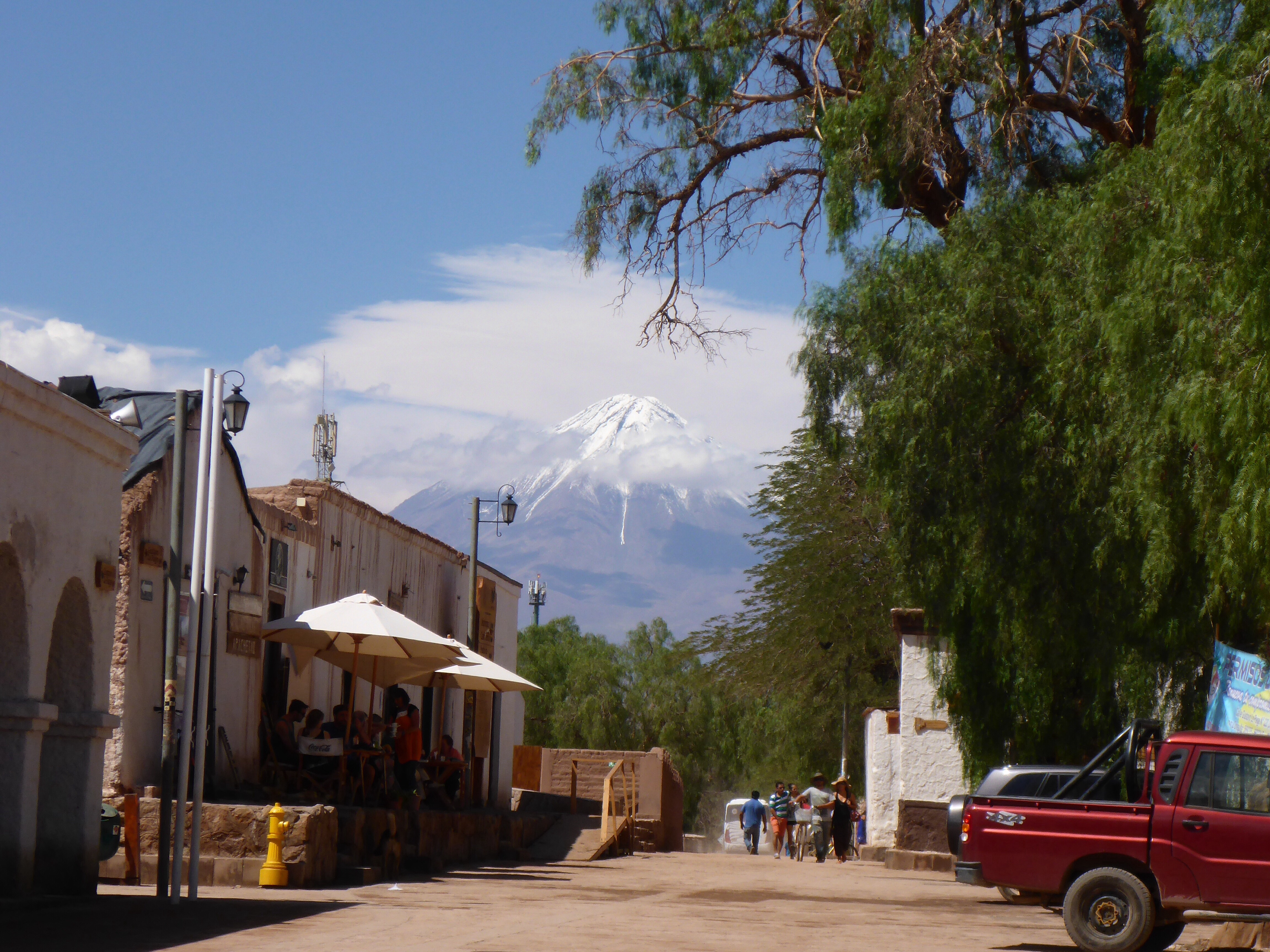
We have the most awesome view from our room and from the rooftop breakfast area, looking across the main square towards the cathedral and the Misti volcano to the north east, the peaks of Chachani to the west of it, and Pichu Pichu to the east. Yes, the square is noisy at times, with several processions leading up to Easter early evening and daily loud demonstrations against mining in the area, but we find it all very interesting. At least there are no dogs barking or roosters or thumping music all night as we have had in many places in South America so we wake up rested. The Plaza de Armas with its stunning colonial architecture and colonnaded balconies and all the buildings within the world heritage site are made of light grey volcanic rick called sillar which is actually quite bright in the sunlight, giving Arequipa the nickmane “white city”. It is truly stunning.

Our breakfast ‘room’ at the Katari hotel n Arequipa
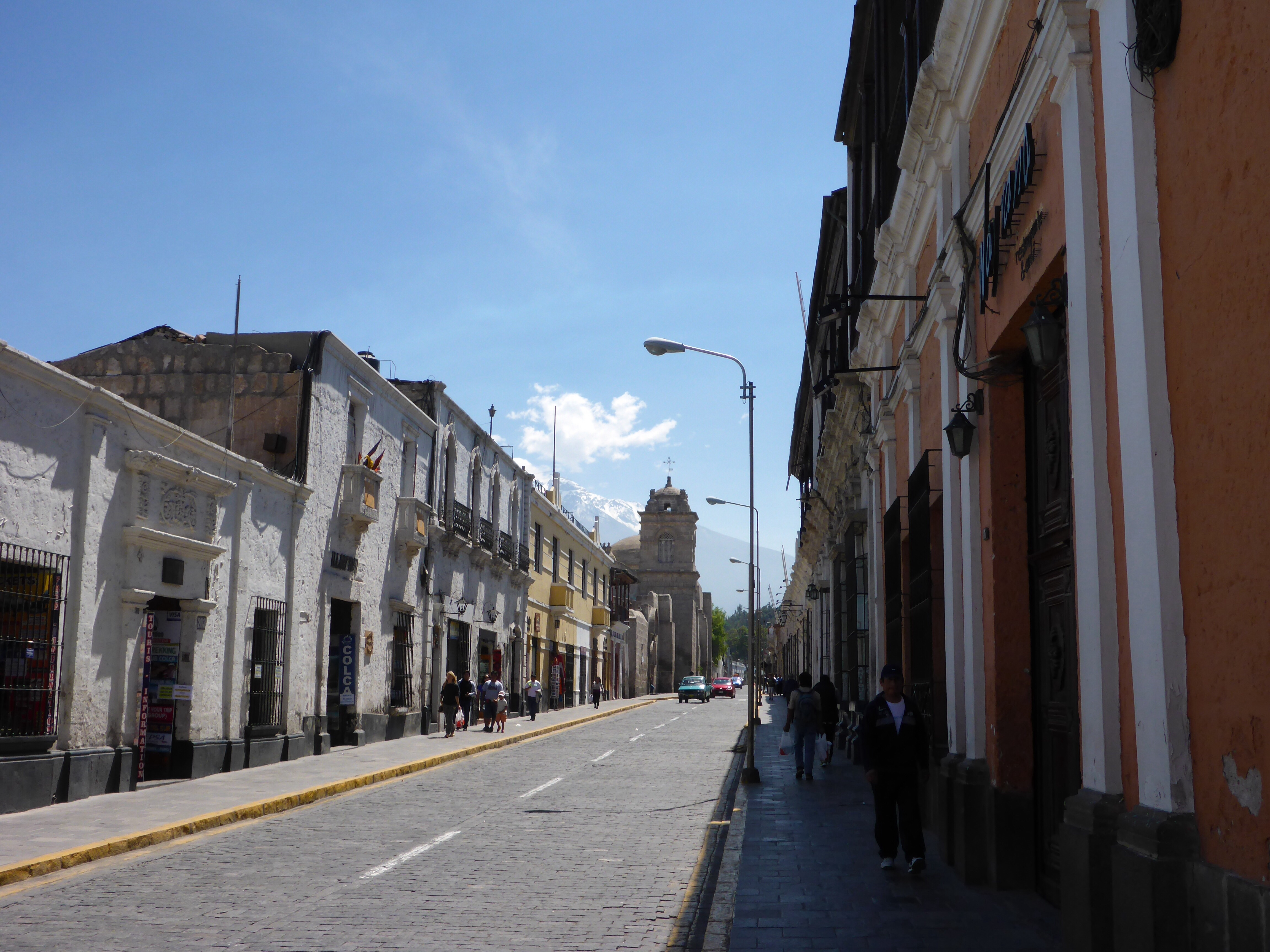
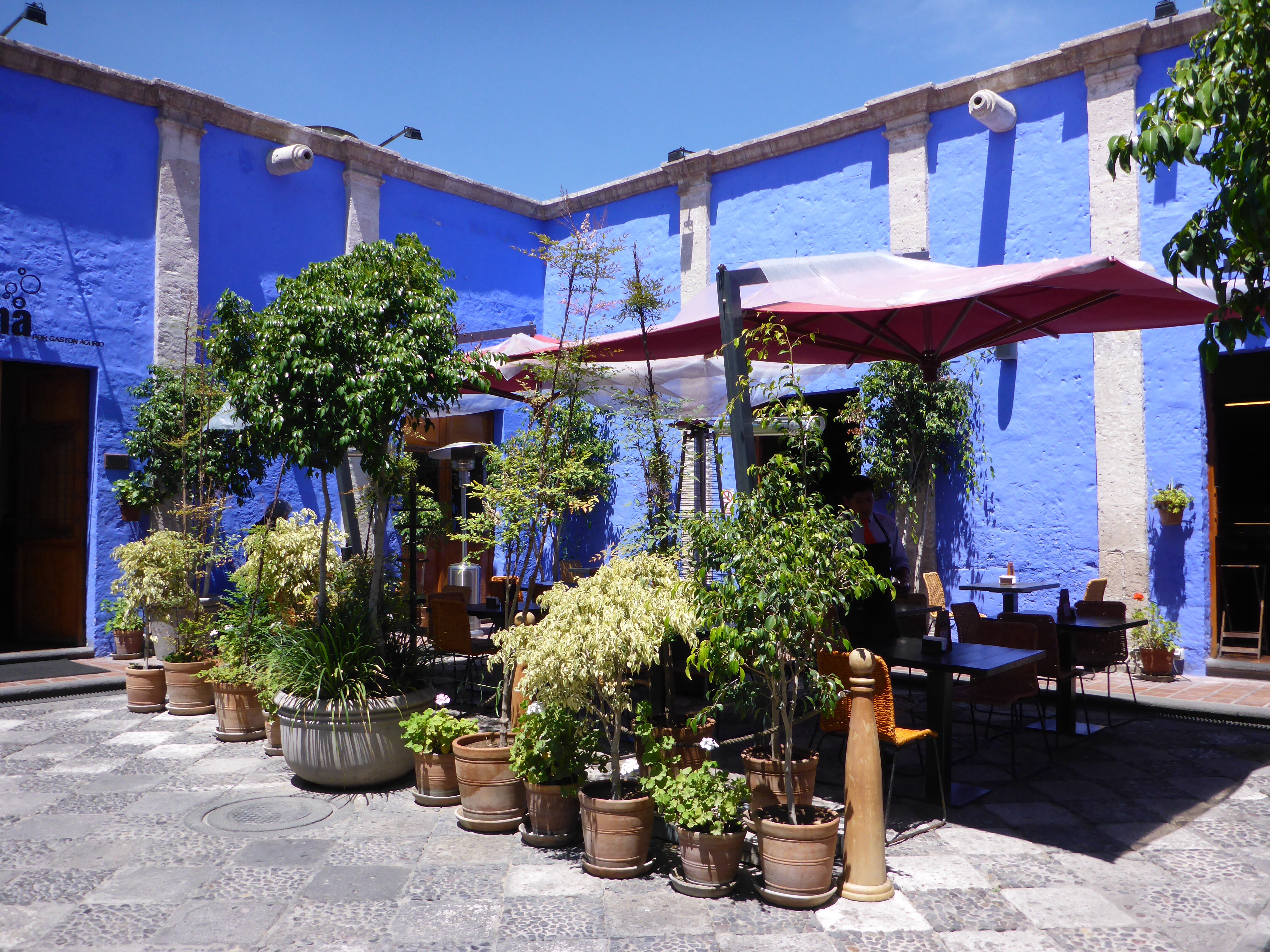
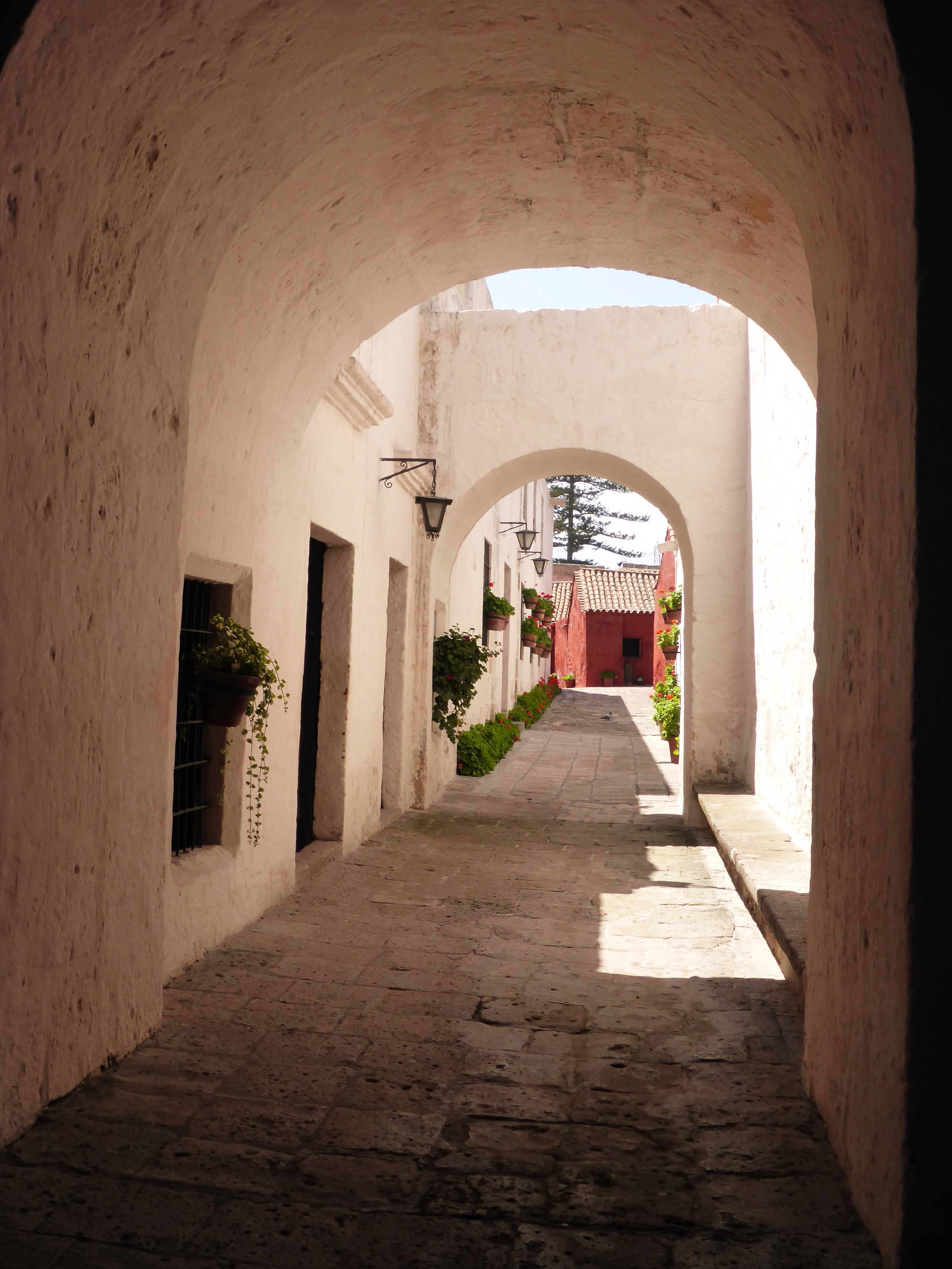
The historical centre is full of lovely old buildings, intricate baroque facades and porticos, archways and vaults, robust thick walled buildings, and gorgeous little courtyards and open spaces – and travel and souvenir shops but we simply ignore all these. It is a visual delight.

Santa Catalina street, Arequipa

Fabulous stonework and courtyards in Arequipa

Chi Cha – lovely spot for fresh fruit juice in Arequipa
Our time in Arequipa has been a great stop – bike maintenance, photo upload, blog entries, washing and great meals, fantastic pisco sours, several walks and a number tourist sites including the Santa Catalina convent, the Cathedral, and the market.
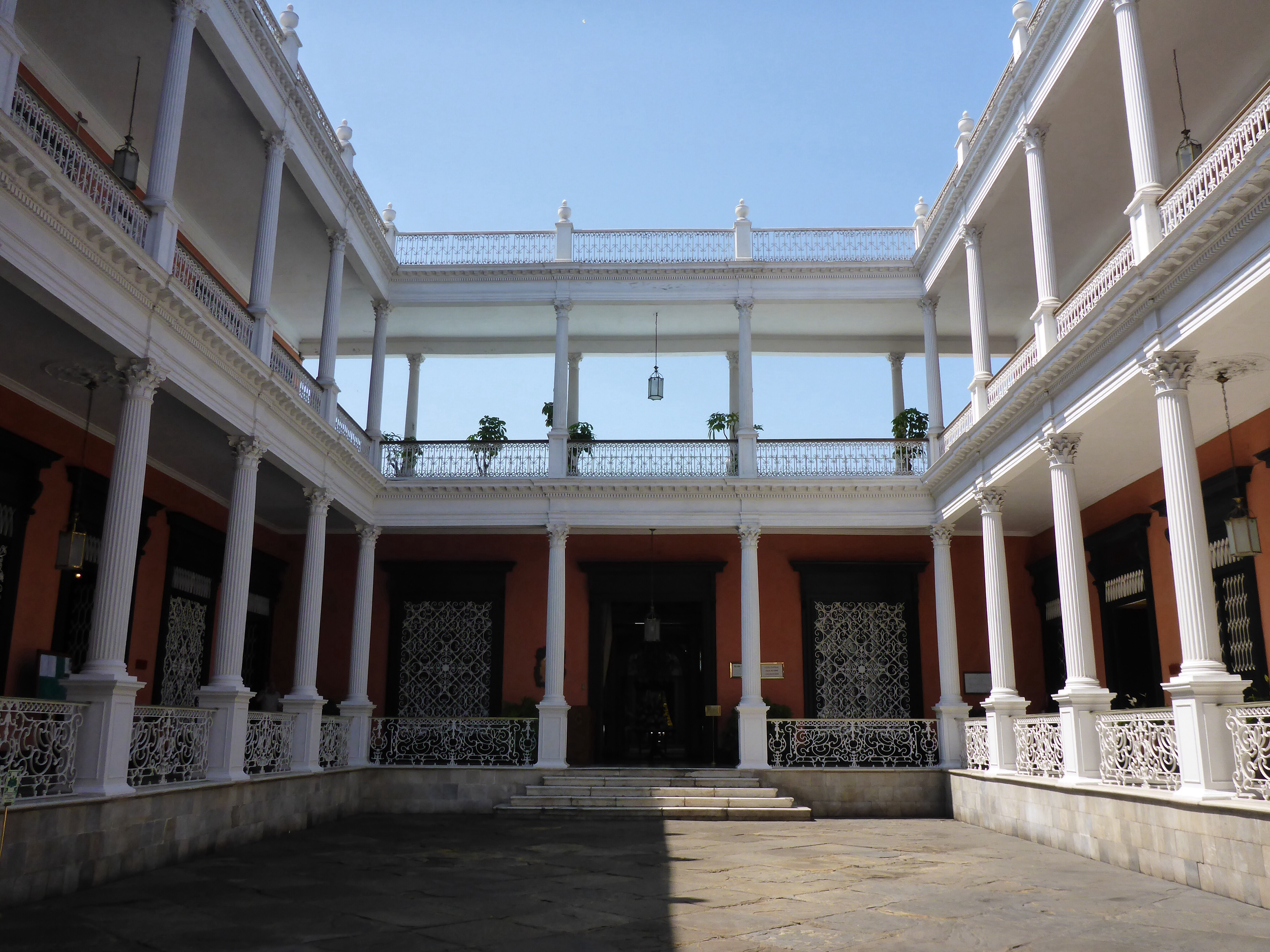
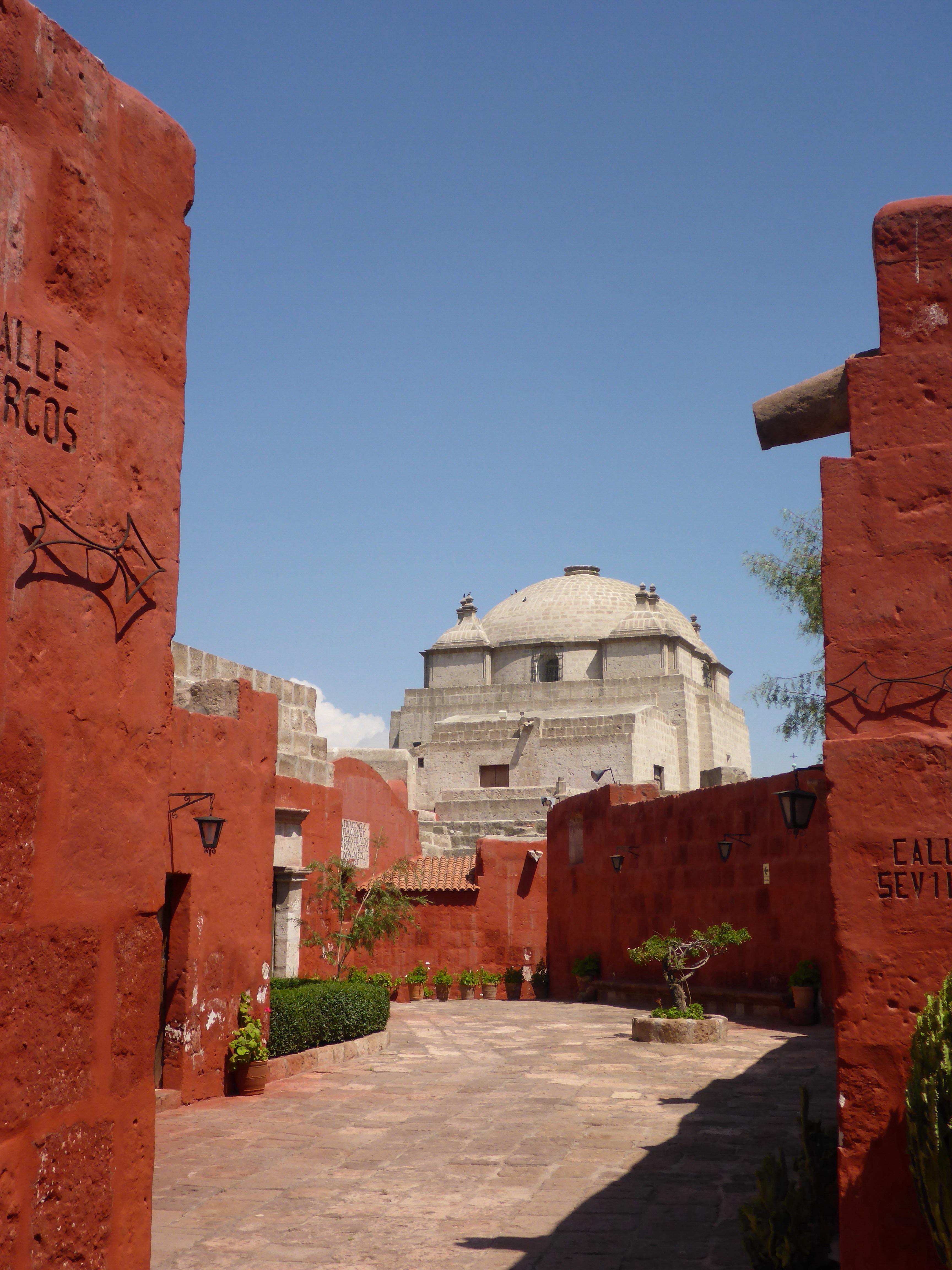
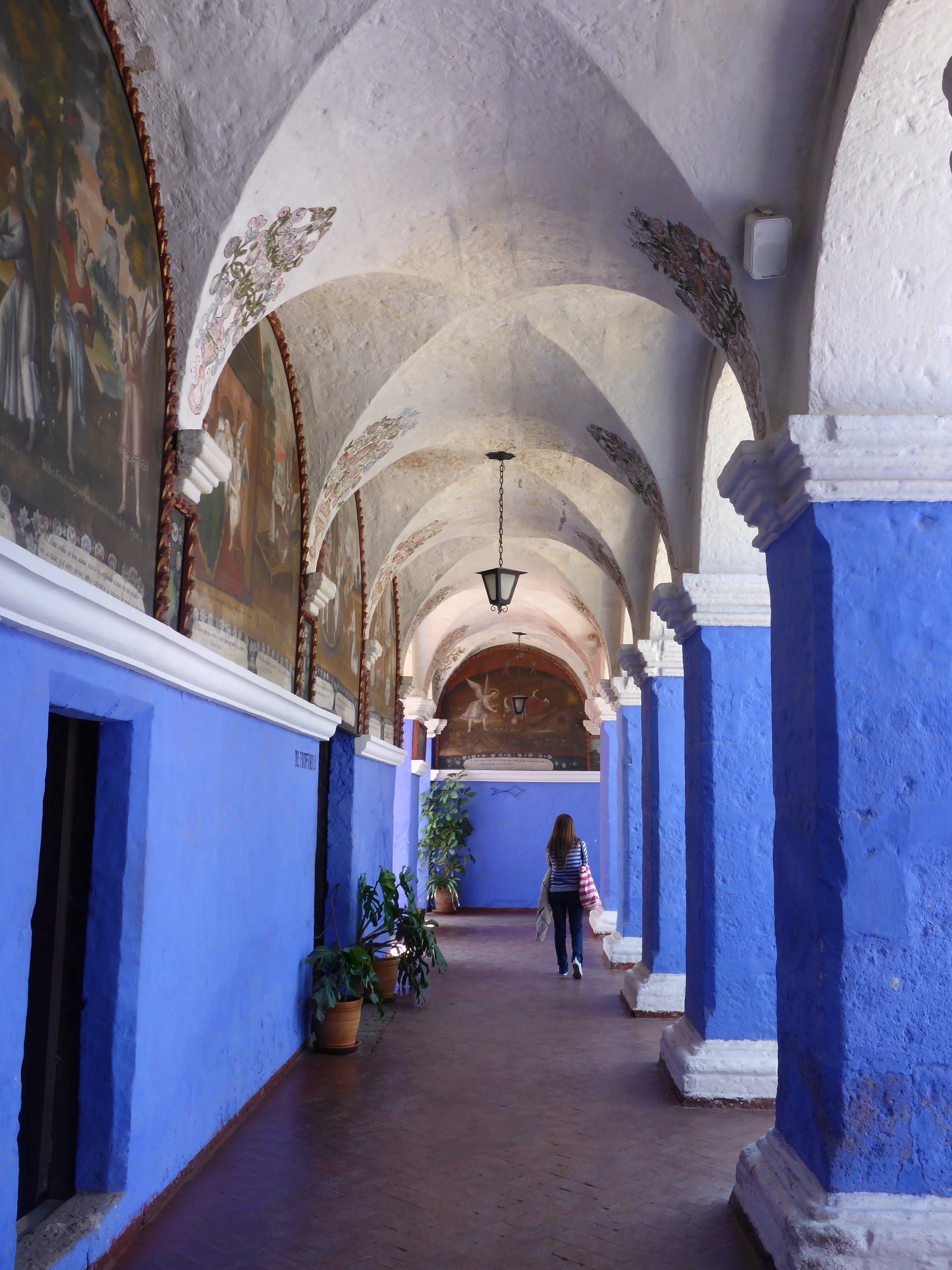
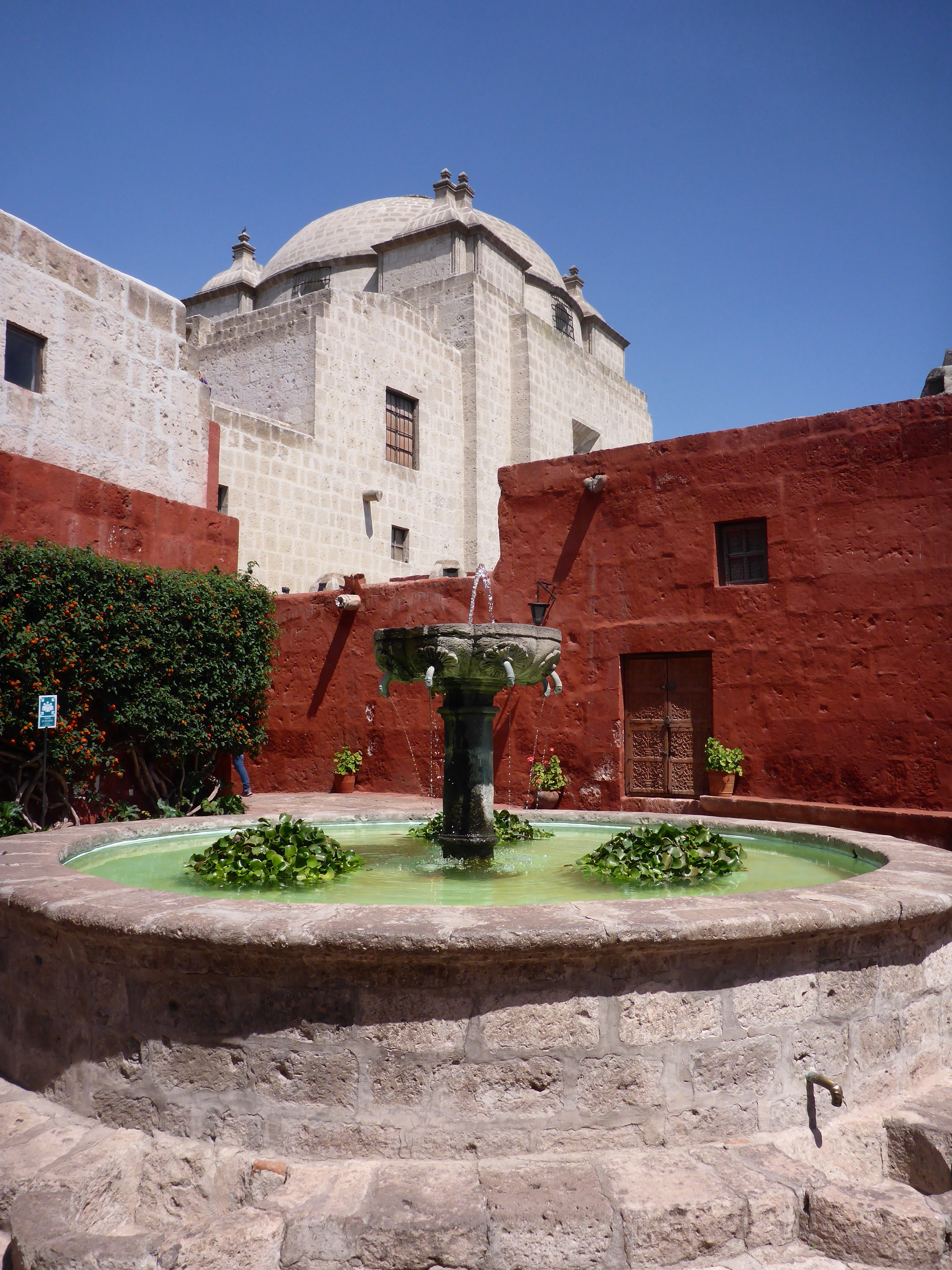
The Monasterio de Santa Catalina is a huge complex covering 20,000 square metres right in the centre of the city founded in 1579. It originally housed up to 175 nuns, of privileged background, who were able to continue their lives as they knew it in their own houses, with servants or slaves. The Pope introduced some ‘reforms’ in the early 1870s and put a stop to these privileges: all the nuns then had to live in one single large room, their beds separated by a simple curtain. Walking through the convent, it felt like we could have been in a tiny Spanish village – it was beautiful. It was definitely worth having a guide take us through the complex and explaining its history.

Monasterio Santa Catalina, Arequipa

Monasterio Santa Catalina, Arequipa

Monasterio Santa Catalina, Arequipa

Monasterio Santa Catalina, Arequipa
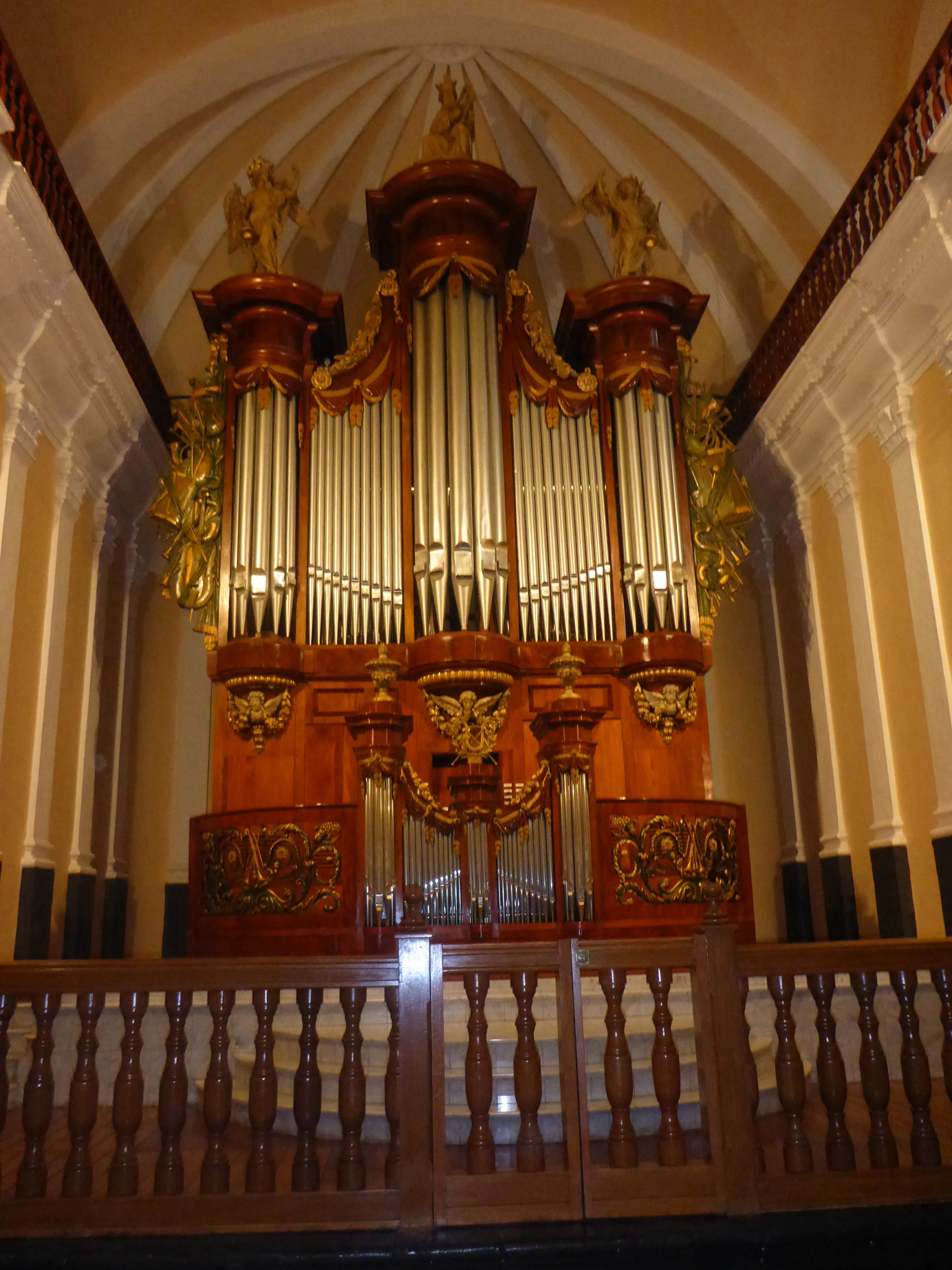
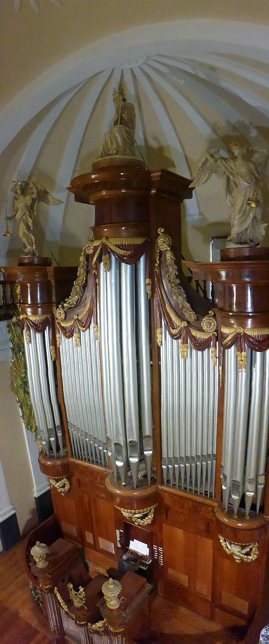
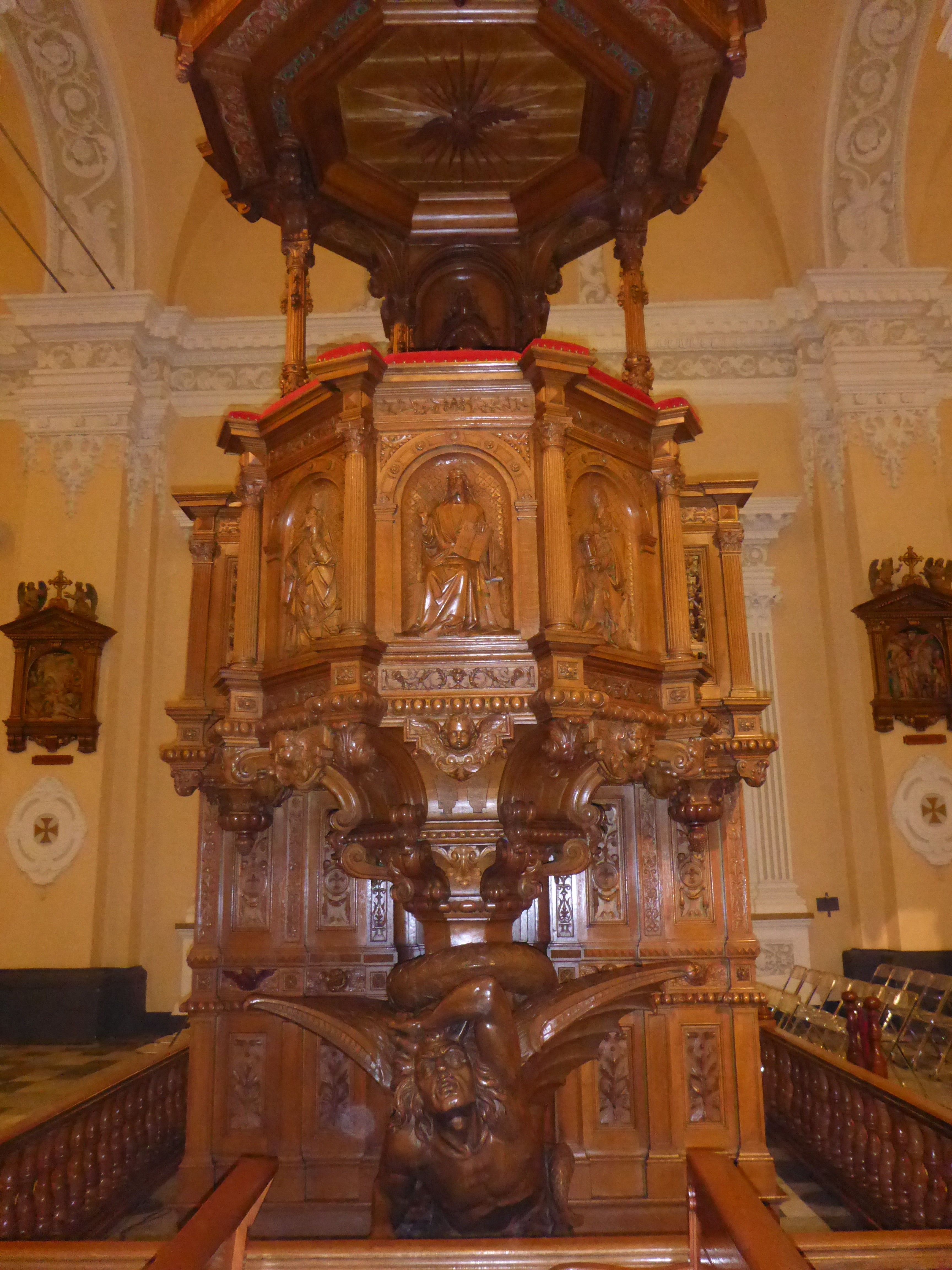
We tried to visit the cathedral and several churches a number of times, but they were either closed or had a church service – we felt it inappropriate to walk around them at such times. While Anthony rested one day, I decided to try and visit the cathedral. I find the side entrance, pay the entrance fee and am asked to wait for the guide: you can only visit the cathedral and its museum with a guide. Again, it was worthwhile and interesting. Originally constructed in 1656, it was gutted by fire in 1844, rebuilt shortly thereafter then destroyed in 1868 by an earthquake. It was completely rebuilt then another large earthquake hit in 2001 toppling one of its towers. My timing could not have been better: the organist is practicing and we are treated to magnificent music during the tour – how special. I think the guide is required because we are taken to rooms that hold priceless objects which are either no longer used (had belonged to previous bishops) or only come out once a year for special occasions such as Easter or Christmas.

Arequipa cathedral’s Lauret organ from Belgium

Arequipa cathedral’s magnificient Belgian pipe organ

Arequipa cathedral ‘false marble’ apostle statue, made of wood, chalk, honey and oil

Oak pulpit made in Lille, France has a devil carved at the base

View of Arequipa Plaza de Armas from the cathedral bell tower
Our hotel is across the square, to the right of the flags, with grass on the roof (our breakfast area).

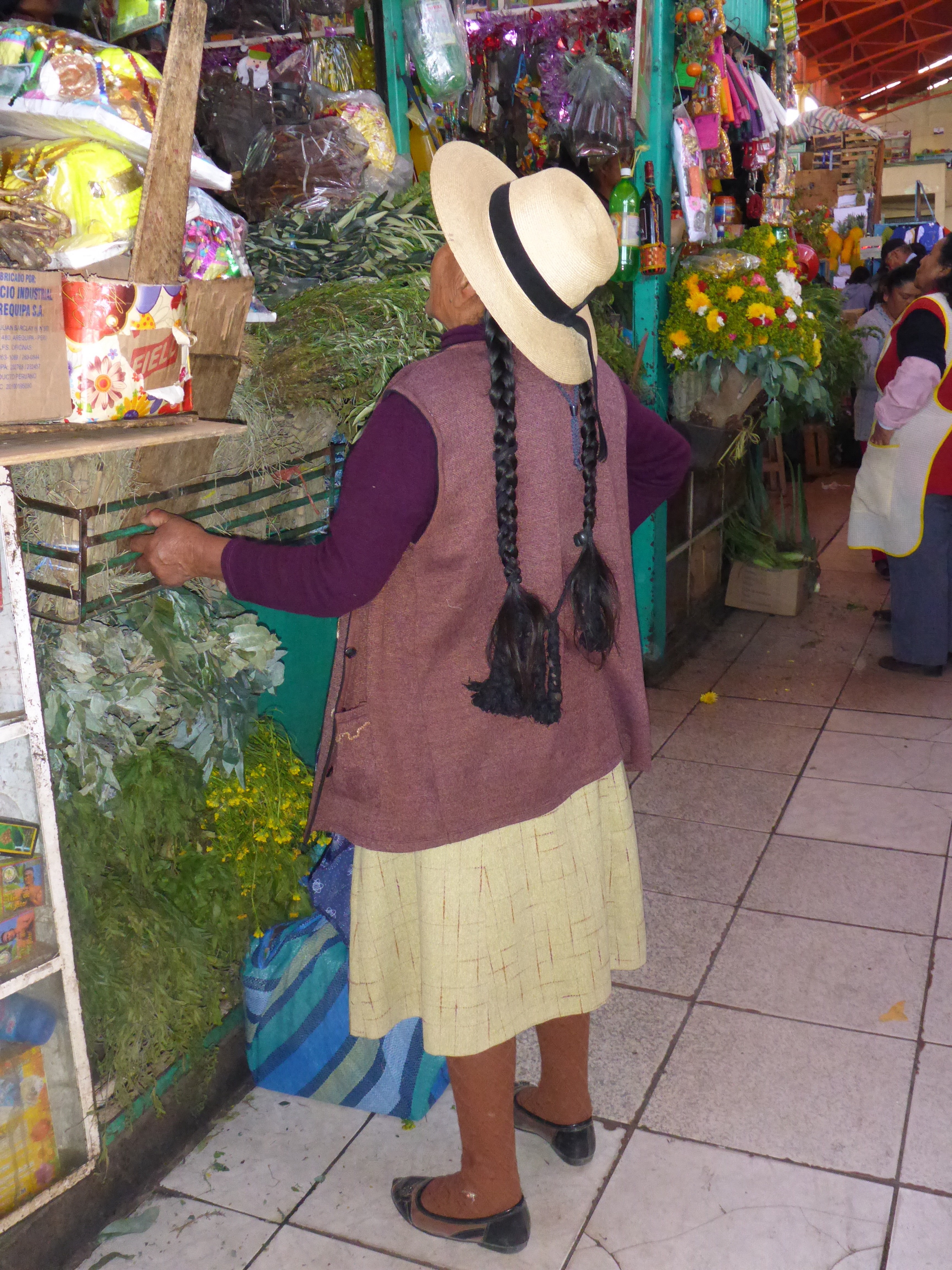
We always love local markets and the one in Arequipa was no disappointment.

Arequipa San Camilo market

San Camilo market
Our last afternoon and I go out for one last wonder about town. I feel like some local human contact rather than visiting another museum or church. Maybe I’ll just sit in the Plaza de Armas? No, I’ll look for a hairdresser. After walking for 45′, I finally find one at the end of a tiny alley. She is free so I put myself in her hands. As she cuts my hair in a way I have never seen before and with a pair of scissors I remember having as a child for artwork and makes a deep dull clunk as she snips away, I think how things have changed: I used to drive for an hour to get to a hairdresser on the other side of Brisbane and pay a small fortune because I liked the way she cut and coloured my hair. Now the end result really doesn’t worry me. It just needed trimming, that’s all. I communicate as best I can with the hairdresser, once again wishing I knew more Spanish. The hair cut only cost me $4 but better still, it was a lovely experience.
Our extended stay in Arequipa has been perfect, really lovely and we are both ready to get back on Streak and Storm and make our slow way to Nazca tomorrow morning.
– Anne