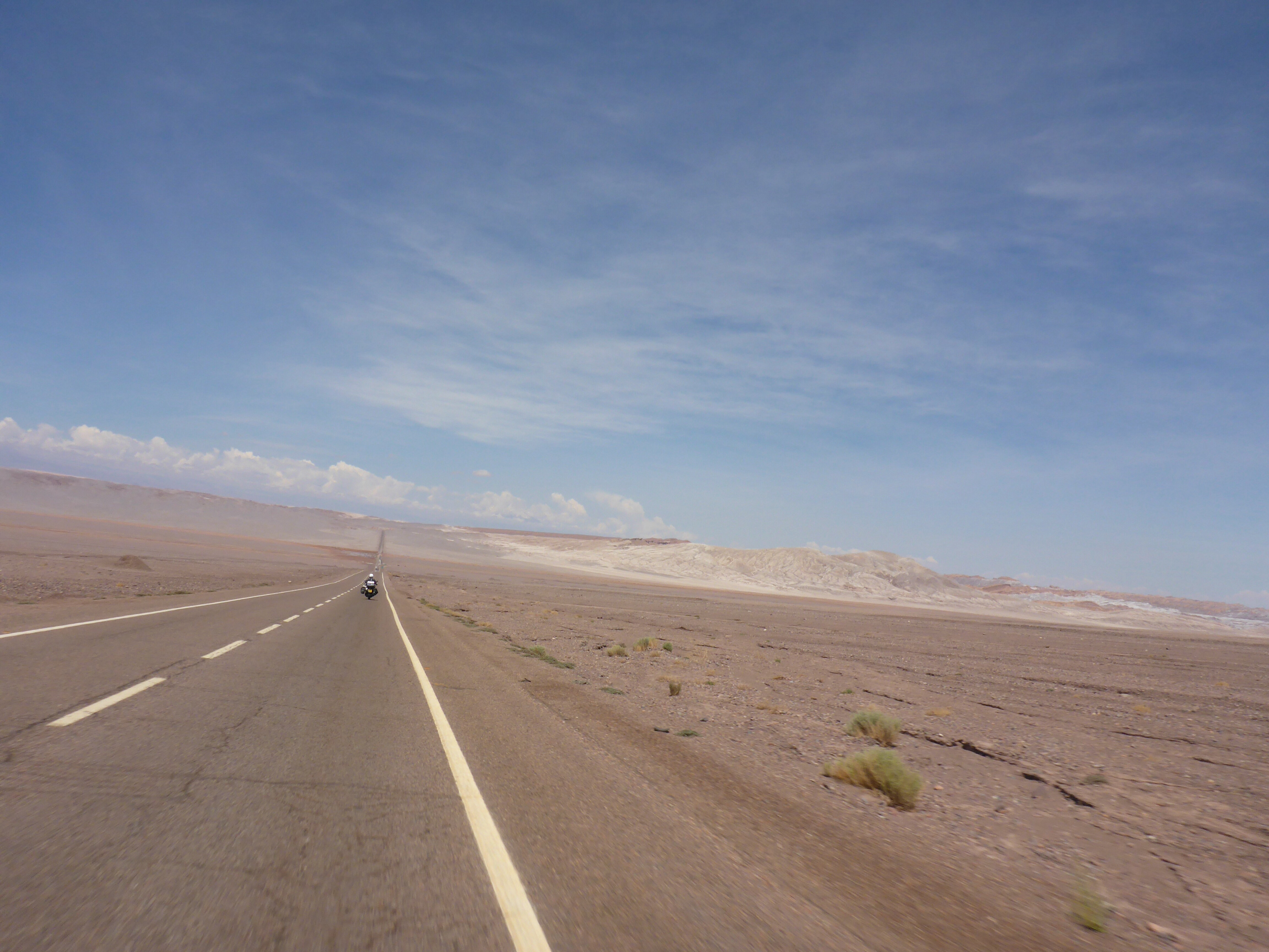
We leave San Pedro de Atacama with rain clouds gathering. Snow has fallen to the east causing the road to Argentina and Bolivia to be closed. We could not have proceeded in that direction even if we wanted too. We have decided to move out of Chile and get into Peru. We seem to have ridden endlessly through the Atacama desert in its various forms and we both feel like a change of scenery.
Cold and rain we have not experienced for many months. We realise that in the 8 months on the road traveling, this is only the 8th day of rain! While our trip timing was to avoid the wet seasons as far as possible, I think we have done exceptionally well. A recent comment on the blog noted that we only seem to have pictures with blue skies and sunny days and was that a reflection on how we feel? The answer is yes, we are always happier on blue sky days and while the occasional cosy grey day makes a change, blue skies are our natural habitat.

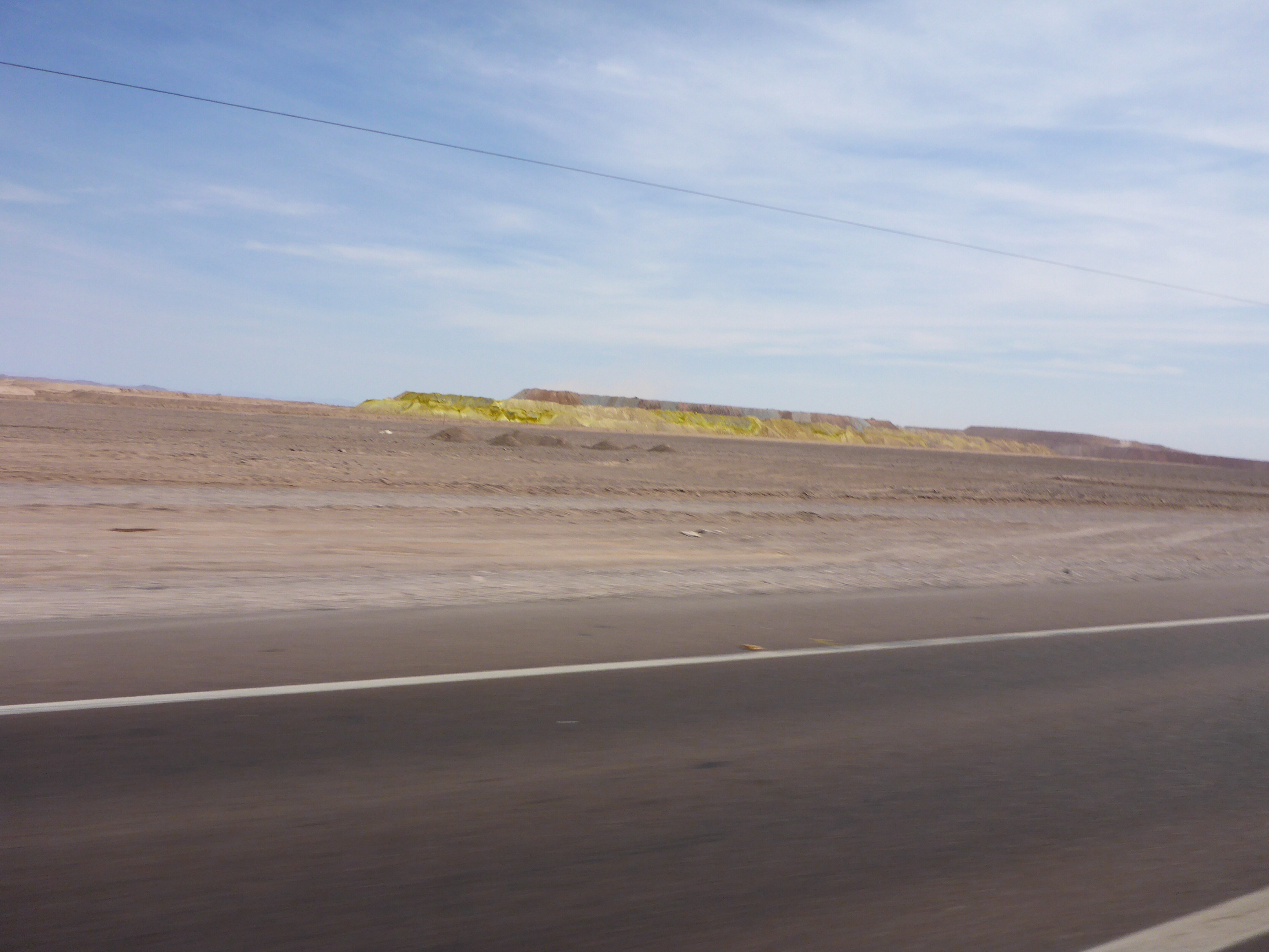
Rain is waiting for us – we can see how much snow has fallen overnight in the distance
Today leaving San Pedro de Atacama is the coldest day we’ve had
While we press on through the rain, which is unusual for this very arid region, we have to count ourselves lucky that we have missed the worst of the flooding in the Atacama, which is playing out in towns we passed through and stayed at less than a week ago. At each fuel stop we are greeted with a TV screen showing the devastation that such extreme weather for this region is doing. In desert regions, towns cannot justify stormwater drainage systems and when rivers overflow there is nowhere for the water to flow but into houses and businesses. Power and communications are cut to the north of Chile, some cities are without power and the damage to roads will be extensive.
Where we stopped for lunch – chicken is out so it was only boiled rice and fresh tomatoes – nice change from canned tuna and dry crackers

Every petrol stop and restaurant is showing the destruction currently unfolding in Northern Chile
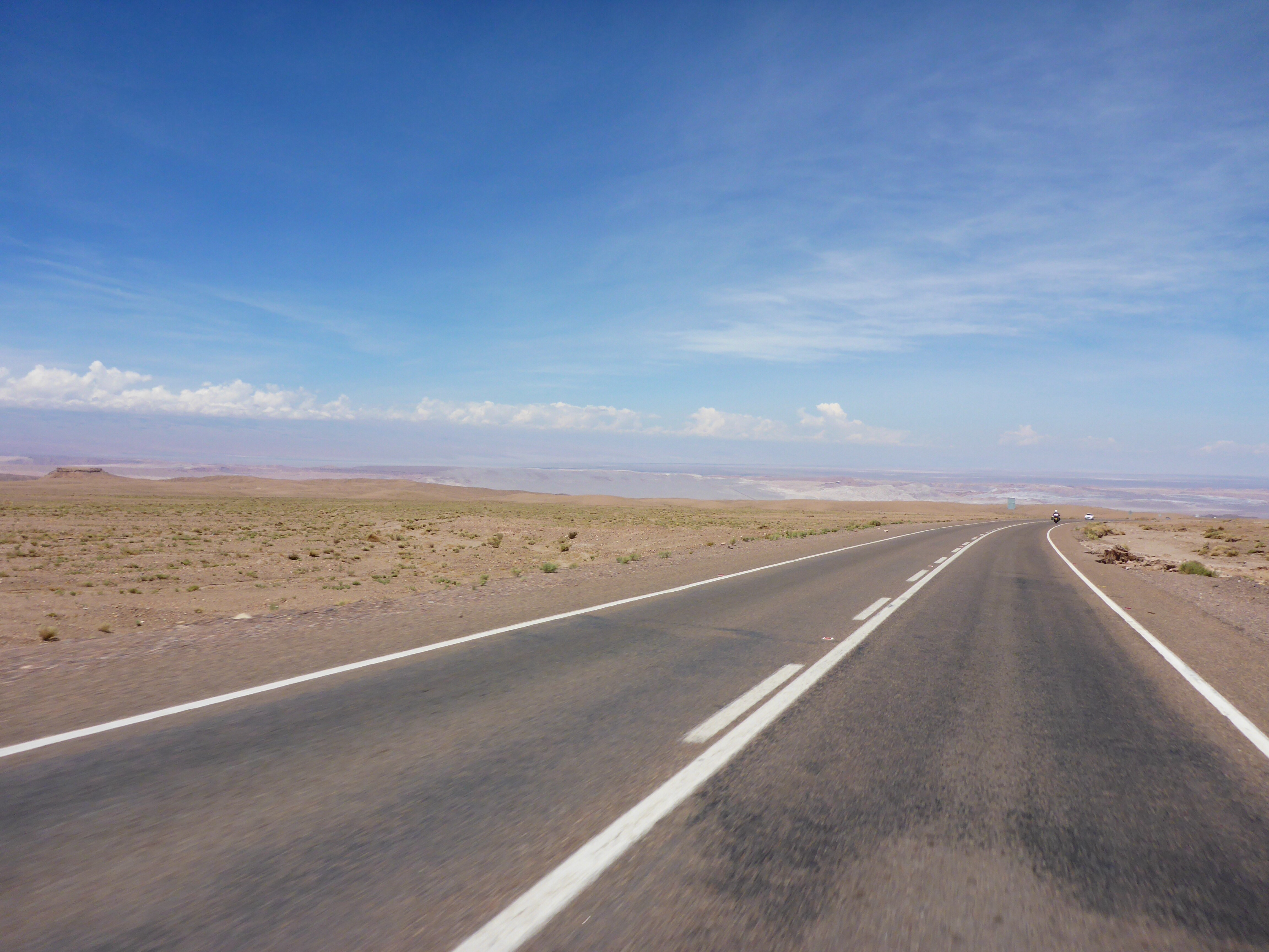
Despite the wet conditions, which improve as we get further north, we make good progress towards our coastal destination of Iquique.

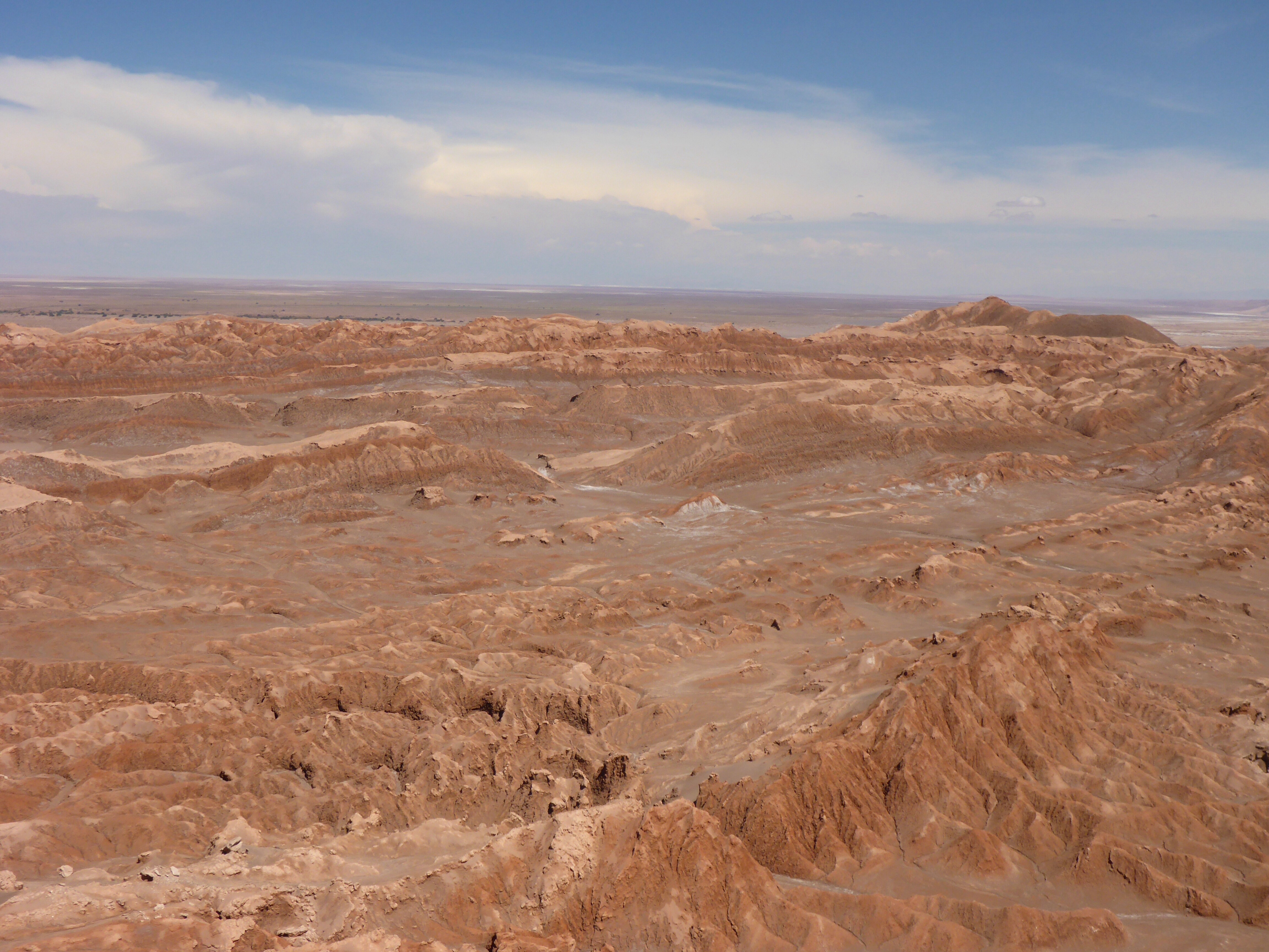
Salar de Pintados national park

Coastal clouds south of Iquique
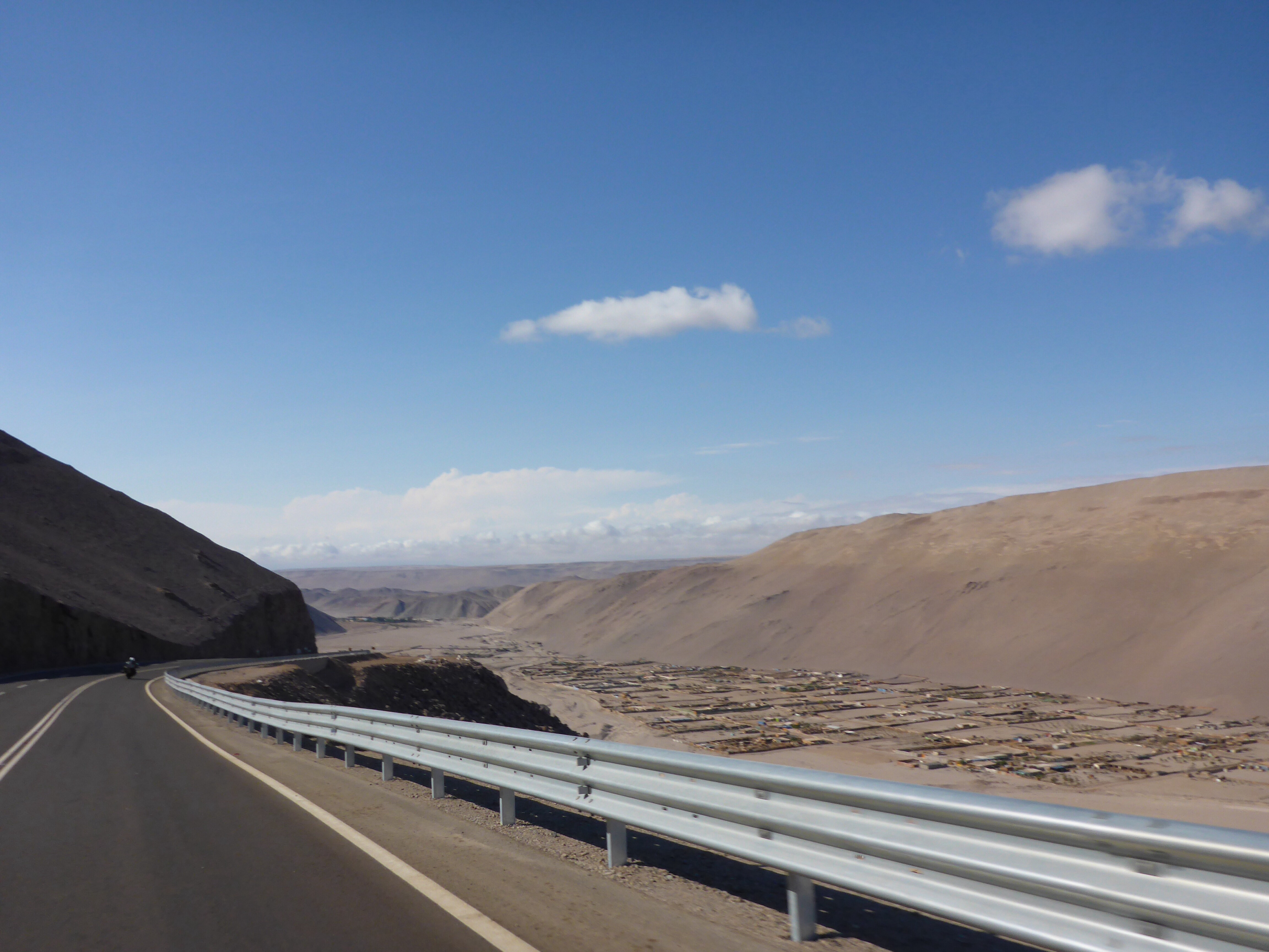
The road approach to Iquique is nothing short of spectacular: a 600 metre (2,000 feet) decent from the town of Alto Hospicio cut into the steep side of the mountain runs for over 10 kilometers. As we ride down it feels like we are in an aircraft making our decent to land. Amazing feeling!
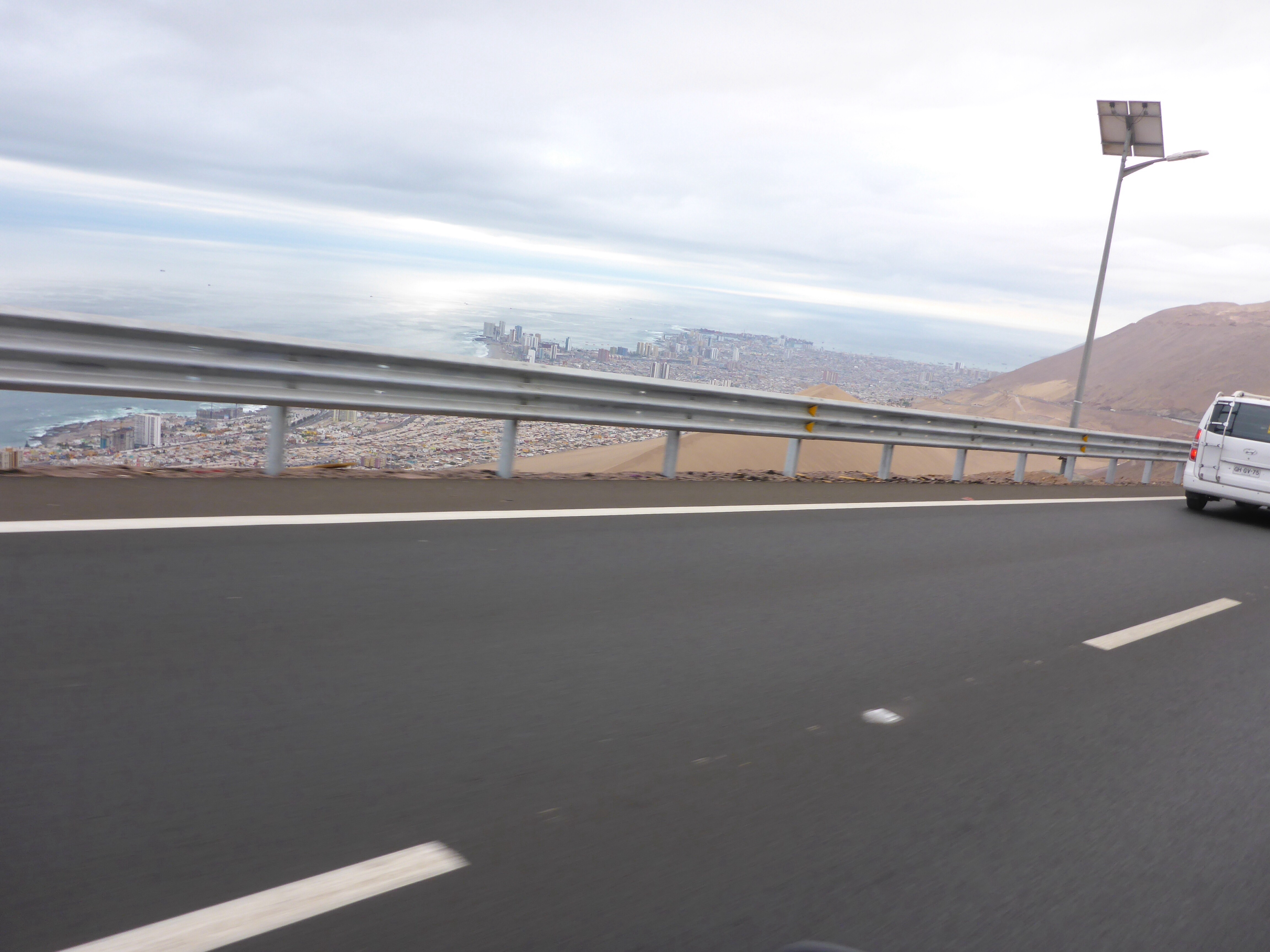
On our way down into Iquique
As we ride towards our hotel, we see multiple tsunami warning signs and with Iquique, like so many other Chilean coast cities pressed up against the mountains, evacuation is not easy. In Iquique’s case, it is compounded by having only a single road, the one we arrived on, as an escape route. On 1 April 2014, less than a year ago, an 8.2 magnitude earthquake occurred offshore, followed by up to 20 aftershocks of 5.0 magnitude or greater, caused many thousands of residents to abandon Iquique entirely, heading to nearby town of Alto Hospicio, a tsunami-proof town 600 meters (2,000 feet) above Iquique. The problem was that the road surface was damaged, and the only way out was to walk up the steep road we had entered up to Alto Hospicio as many did with small children and strollers.

Iquique tsunami warning sign
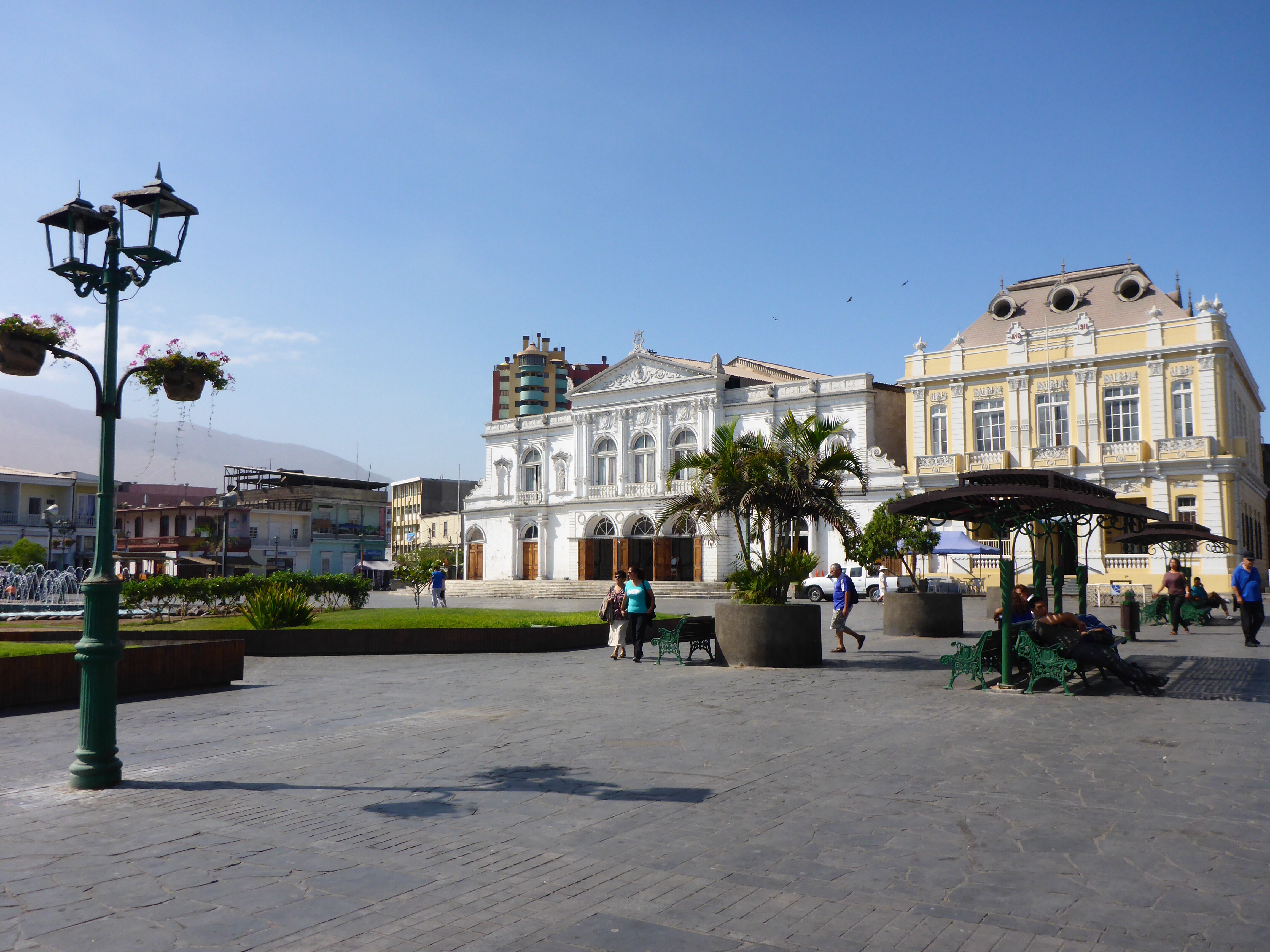
Plaza Prat de Iquique
Iquique was the location of our first real negative encounter with locals and a salutary reminder of how a series of events can lead to a confrontational situation without the intent of either party to reach that position. It happened in a car park, the details are irrelevant now, but being told to reverse over two speed humps with no room to maneuver or help and about 15 cars hooting (at us or for us, we are not sure) left us leaving Iquique with a bad taste.
From time to time, as we have headed north on Ruta 5, our path has been crossed by dry riverbeds that have necessitated the road to make a small detour from its path to make the crossing. As we depart towards Arica we can see on the map two significant canyons running to the Pacific Ocean that require detours of 20 to 30 km to cross. The first is the Quebrada de Chiza which provides a magnificent decent to the canyon floor. Here we encounter some of the strongest and unpredictable crosswinds, caused by wind funneling up from the ocean via the Quebrada de Camarones, we have ever ridden in. We were protected to an extent on the 20 plus kilometer decent, but on the canyon floor we are fully exposed. While we are used to persistent wind in our travels, being in the canyon brings extra hazards. Anne is swept from her lane across the oncoming lane to the start of the hard shoulder and then back again like a giant wind slap. There is nothing we can do except hang on (as stopping is not an option or you would definitely be blown over) and keep going. Luckily traffic is light. The power of nature is always to be respected and here, nature was reminding us of that. We were glad to make the customs post at Cuya and then hug the canyon wall as we climbed out on the other side. Not something we would like to repeat.

Before heading down into Quebrade Chiza canyon
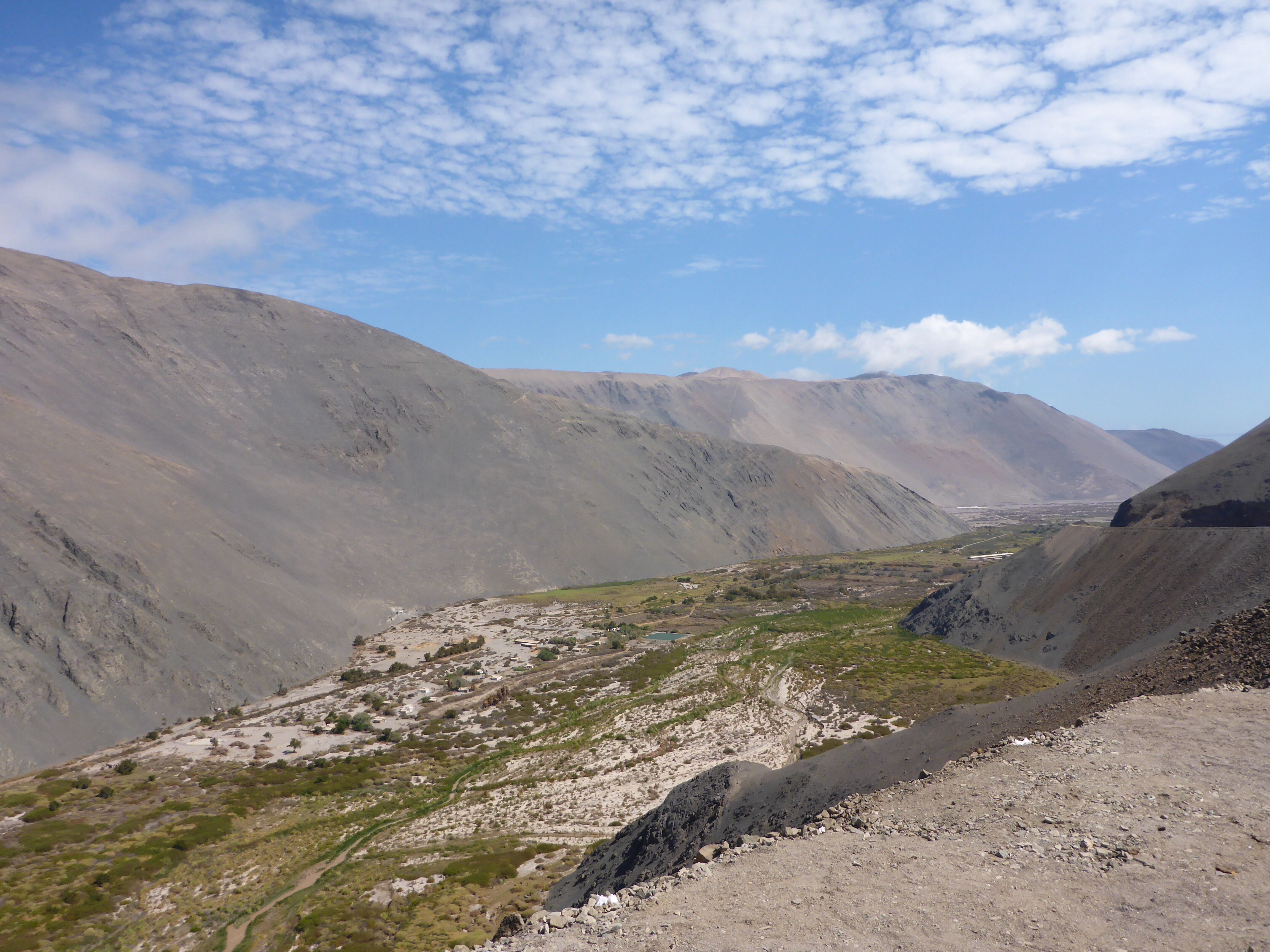
Camarones valley
Riding down towards Arica
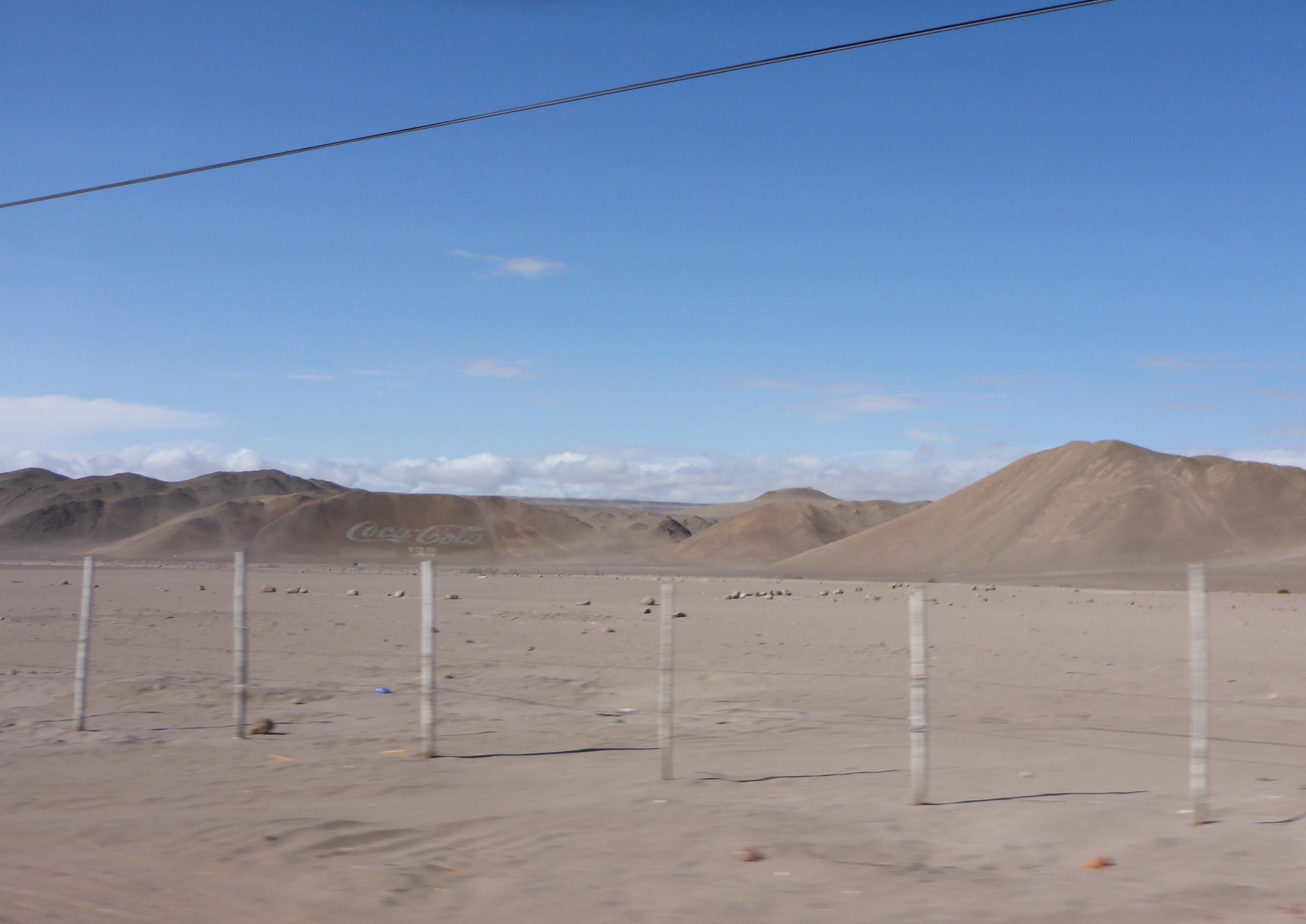
The largest Coca-Cola logo (50×120 metres) made out of 70,000 empty bottles outside Arica
We are glad to reach Arica our last stop before we cross into Peru. We are only some 30 kilometers from the border.
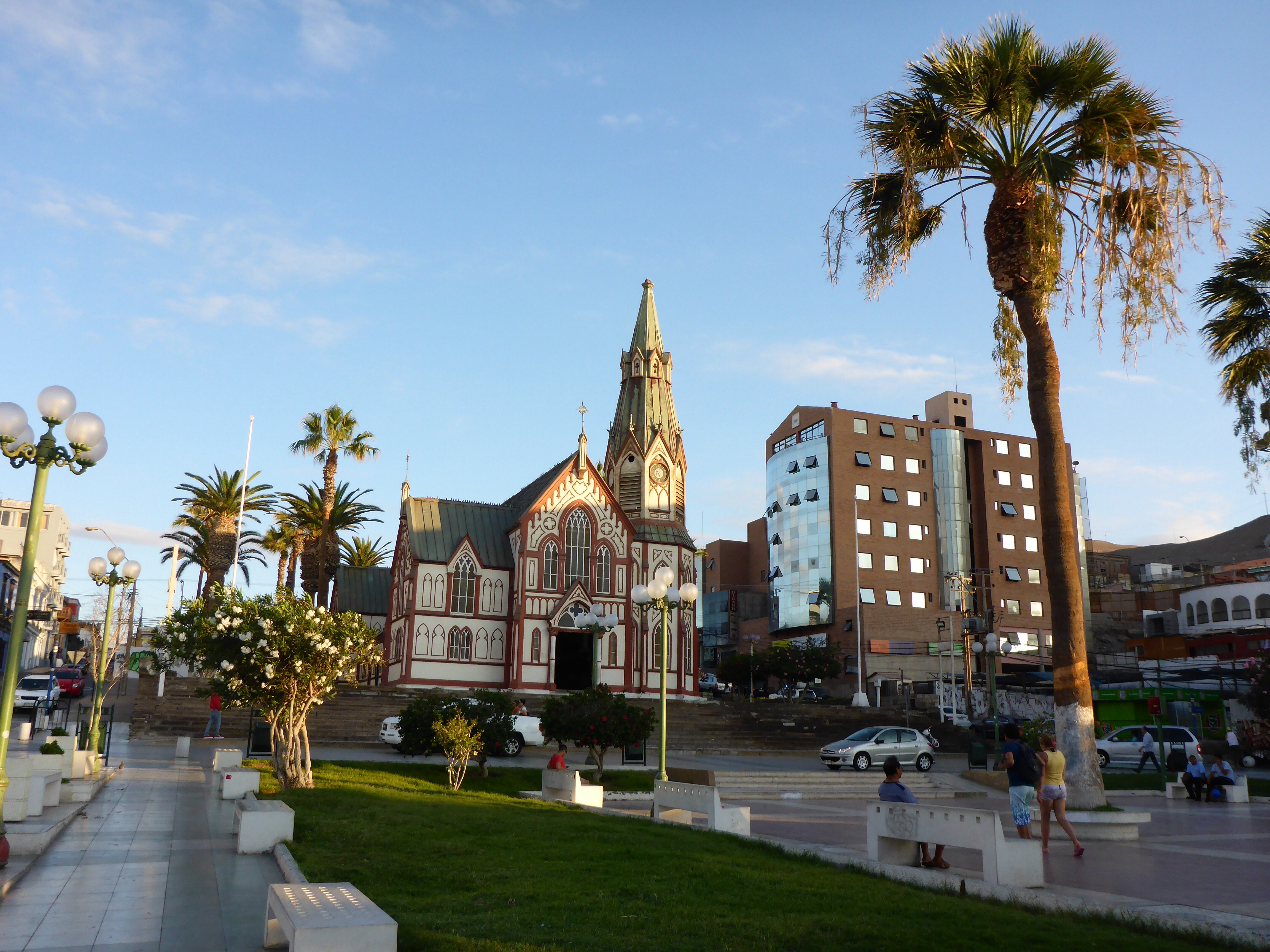
San Marcos de Arica church designed by Gustave Eiffel
A short ride of about half an hour from Arica sees us at our first border crossing in a month. The luxury that people in the European Union have of just driving across the border without stopping does not exist here. We have found that the information available on the web can very quickly become out of date and therefore the timing and requirements have changed. As usual the actual crossing details are recorded in over Visas and Borders section. Suffice to say that the only unusual aspect of this crossing is going to the cafe cashier to purchase a multi copy form needed for the crossing process. Very helpful people on both the Chilean and Peruvian sides sees the process over in about two hours, fairly normal for us, plus the border was not too crowded.
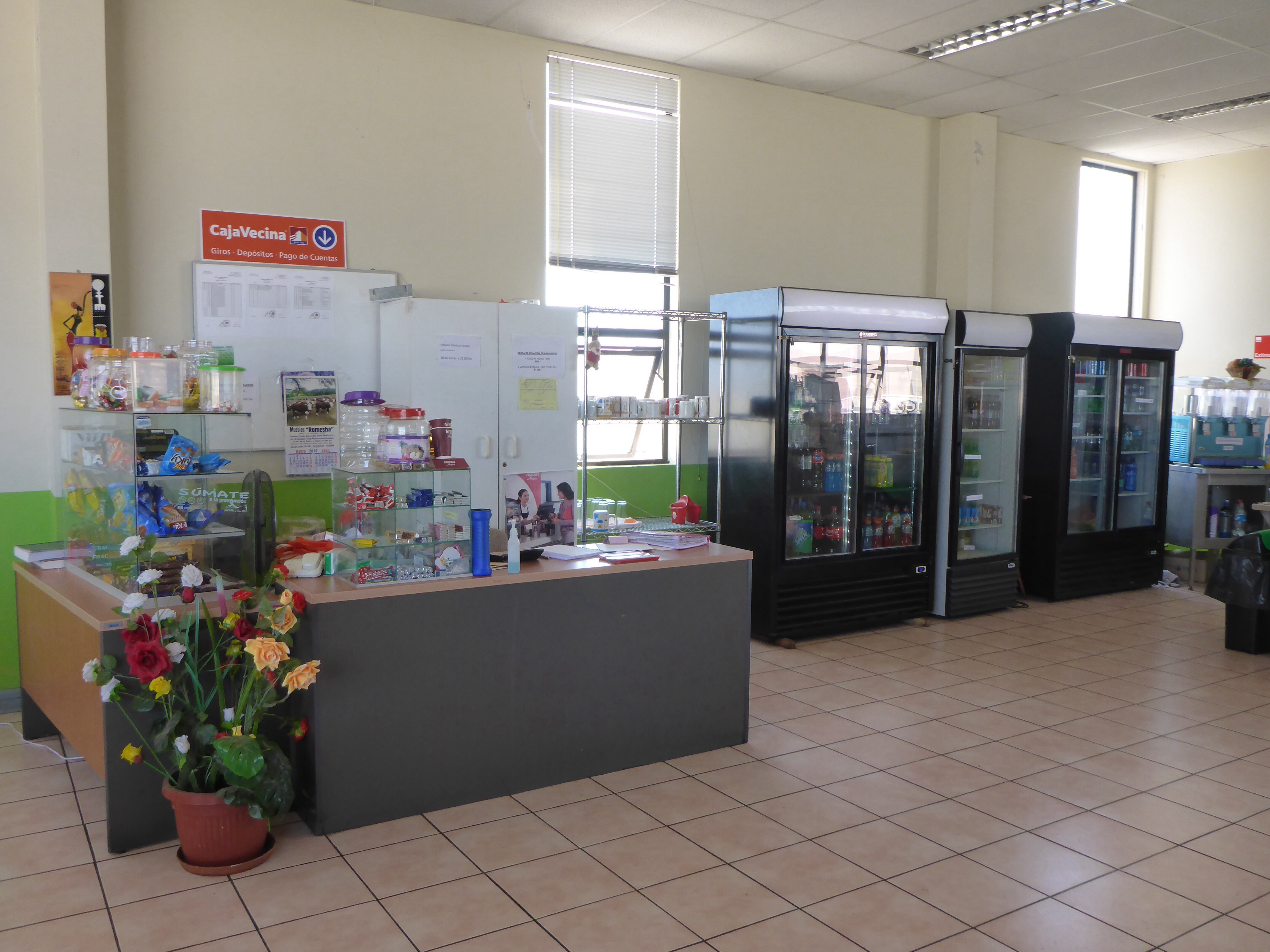
Level 1 of the Chilean customs & immigration building – cafetaria where you buy carbon copies of RVP

Peruvian border post at Santa Rosa
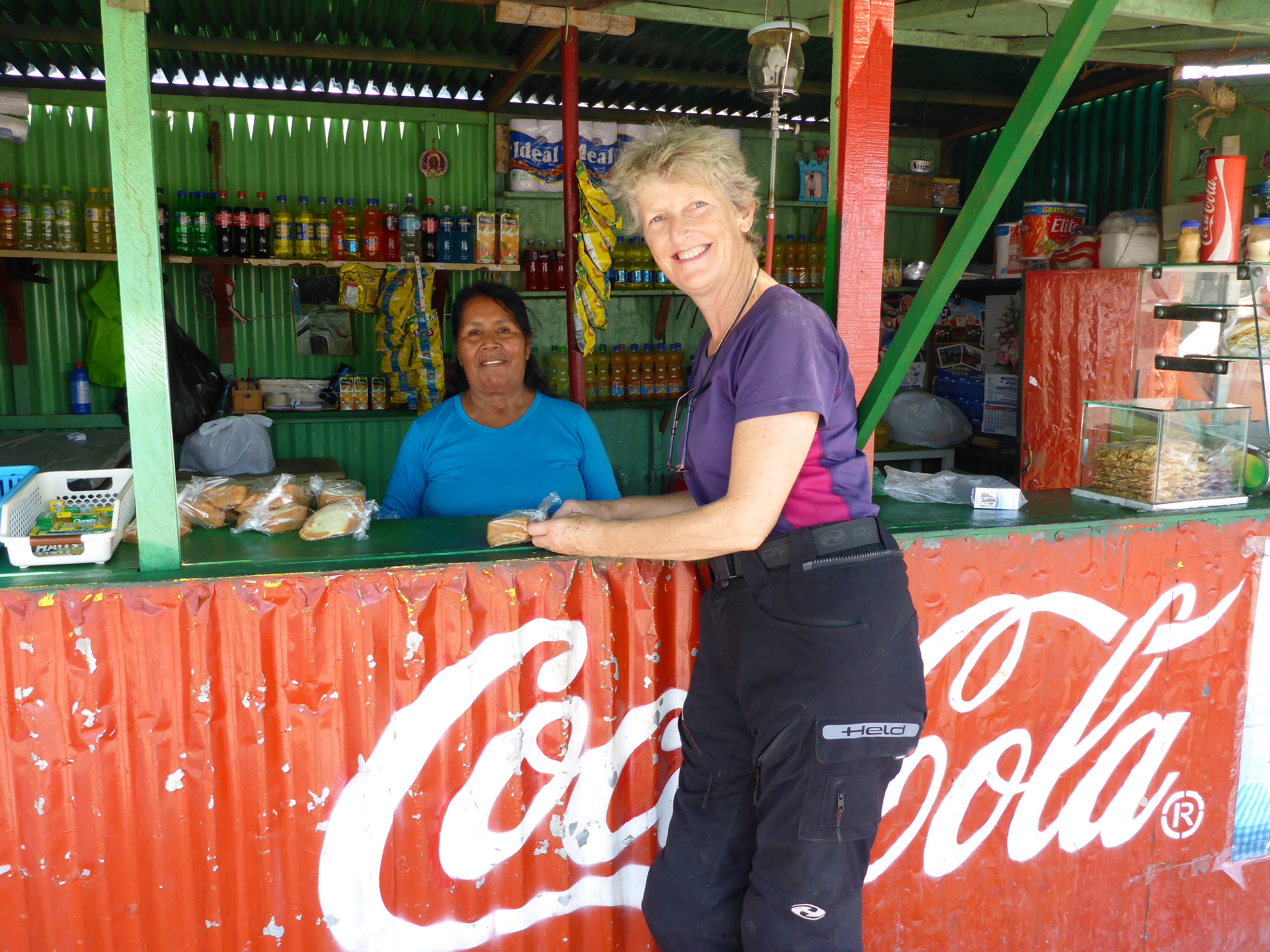
Across from the SOAT building, this lovely lady gave us a piece of cake to go with our cold drinks
A quick stop to pick up SOAT Insurance and half an hour sees us into Tacna and our first interaction with Peruvian traffic reminds us that we will have to raise our situational awareness after Chile.
I have had the same chain since the journey started and it has covered over 25,000 kilometres with the occasional adjustment. I am now having to do almost daily adjustments as the stretching has accelerated significantly and it really rattles by the end of the day. We will need a new chain and sprocket set in Lima. The weight and bulk of the parts meant that we do not carry those spares, but there is a reasonable BMW Motorrad network in the capital cities we pass through.
– Anthony