Definitely our longest gap between blog entries, you may have thought we had been swallowed up by the Central American jungles, but no, just a little busy travelling (thank you to a number of you who have emailed or messaged us checking we were ok). Transiting Central America has been challenging for us. Since we left San Juan in Costa Rica on the 21st of May, we have ridden every day, crossed 5 countries riding in a variety of road and traffic conditions, temperatures maxing out at 42 degrees celsius, up to 100% humidity most days, negotiating up to four customs and immigration procedures in one day. We had decided to move quickly through Central America, transiting rather than touring. Why you may ask?
The decision has been made for a number of reasons. We are running out of time. While our return to Europe in September 2015 may seem distant, we have 10,000 plus kilometres we still have to cover and we have to decide who and what we can see in the USA. This is a RTW trip that we had decided we would undertake in around 12 months in two 6 month segments, which from experience is about as long as we like to travel for. We have to make decisions about what we can and cannot do.
We also need also get to the USA to get Anne’s bike fixed before the warranty runs out in mid June. The continuing problem with the engine management system which affects Anne’s throttle can only be fixed with a replacement part that has to be coded to the individual Vehicle Identification Number (VIN), which BMW will only do in the factory in Berlin and this has a substantial lead time. We have not been able to organise this in South America, probably due to our deficient Spanish and a reluctance of a particular BMW dealer to get involved. With parts lead times in South America, we may have had to wait weeks in one location.
We also want to get out of malaria country as Anne has a negative reaction to Malaria prophylactics. The thought of all the reportedly difficult border crossings waiting for us has added to a tiredness which has grown in recent weeks. We are looking forward to finding some good mountain camping spots in the Rocky Mountains in June, hiking and relaxing by a cool stream.
Anyway I am getting ahead of myself, Let me take you all back a week…….. It has been a little surreal staying at the Hilton Garden Inn in San Jose. The hotel has only been open 5 days and has 8 rooms is use. The hotel occupies the top half of a building with finishing work continuing below during the day. The pool is not completed, power switching rooms are open to guests and we are the only people at dinner. We meet the executive chef who used to teach at university as he and his staff serve us. It all seems so dream like in the hotel.
The replacement of the steering head bearings and the new tyres make for a new pleasurable riding experience once we have covered the first 100km / 60 miles to remove the new tyre oil film.
Today seems to be tyre day: just ahead of us bang! an explosion as a truck tyre disintegrates in a cloud of dust and debris which we both see. Anne, who is leading, is lucky that a car is between her and the truck or else she would have had showered. I have never actually seen a tyre let go like that, just the debris scattered in the road, another first. Anne mentions that she feels like she may one day wake up from one long dream. After our recent strange dreamlike stay in this empty hotel, many experiences have been a little unreal or just so perfectly lucky: like the tyre explosion, like when we left San Jose with brand new slick tyres and the weather ‘waited’ until we had ridden 160kms before it rained, like arriving at border posts with no queues ahead of us.
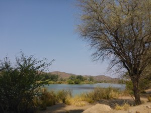
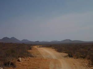
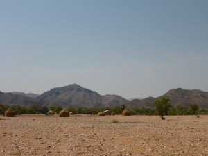
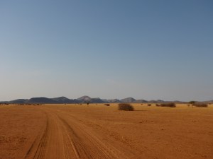
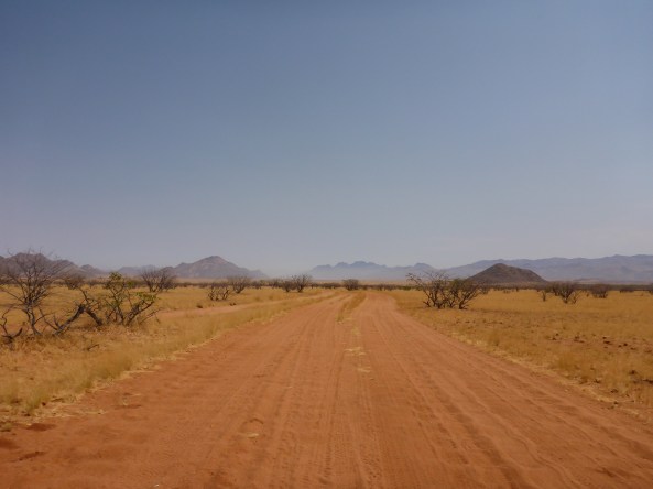
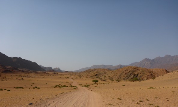
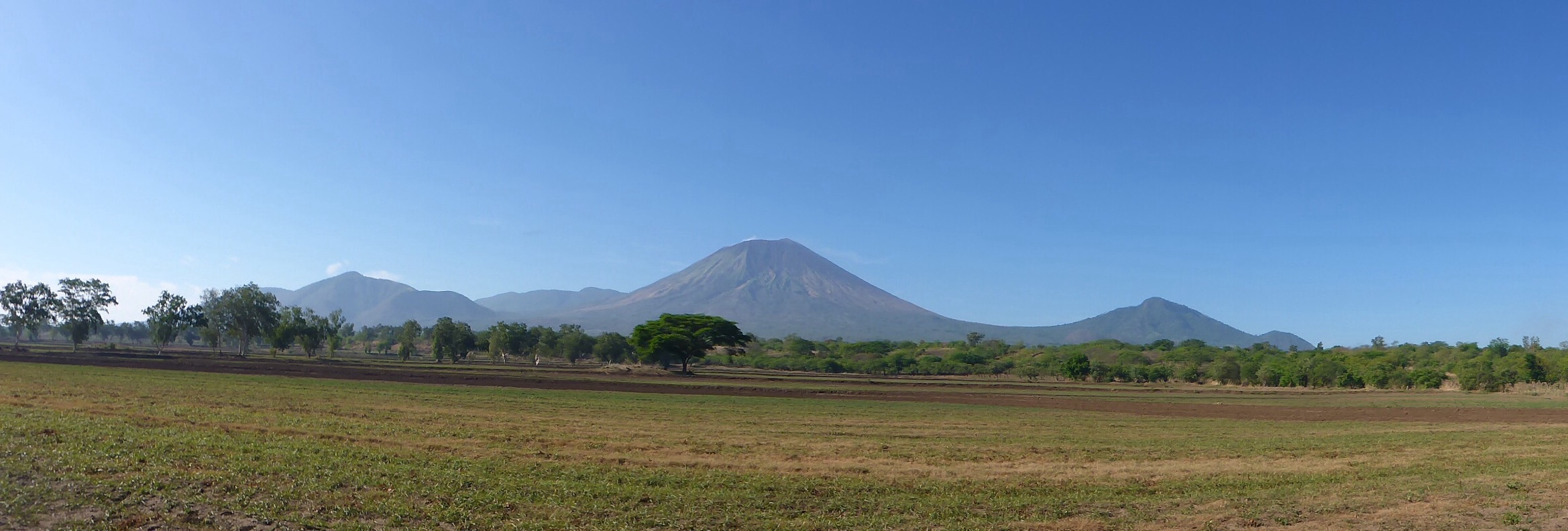
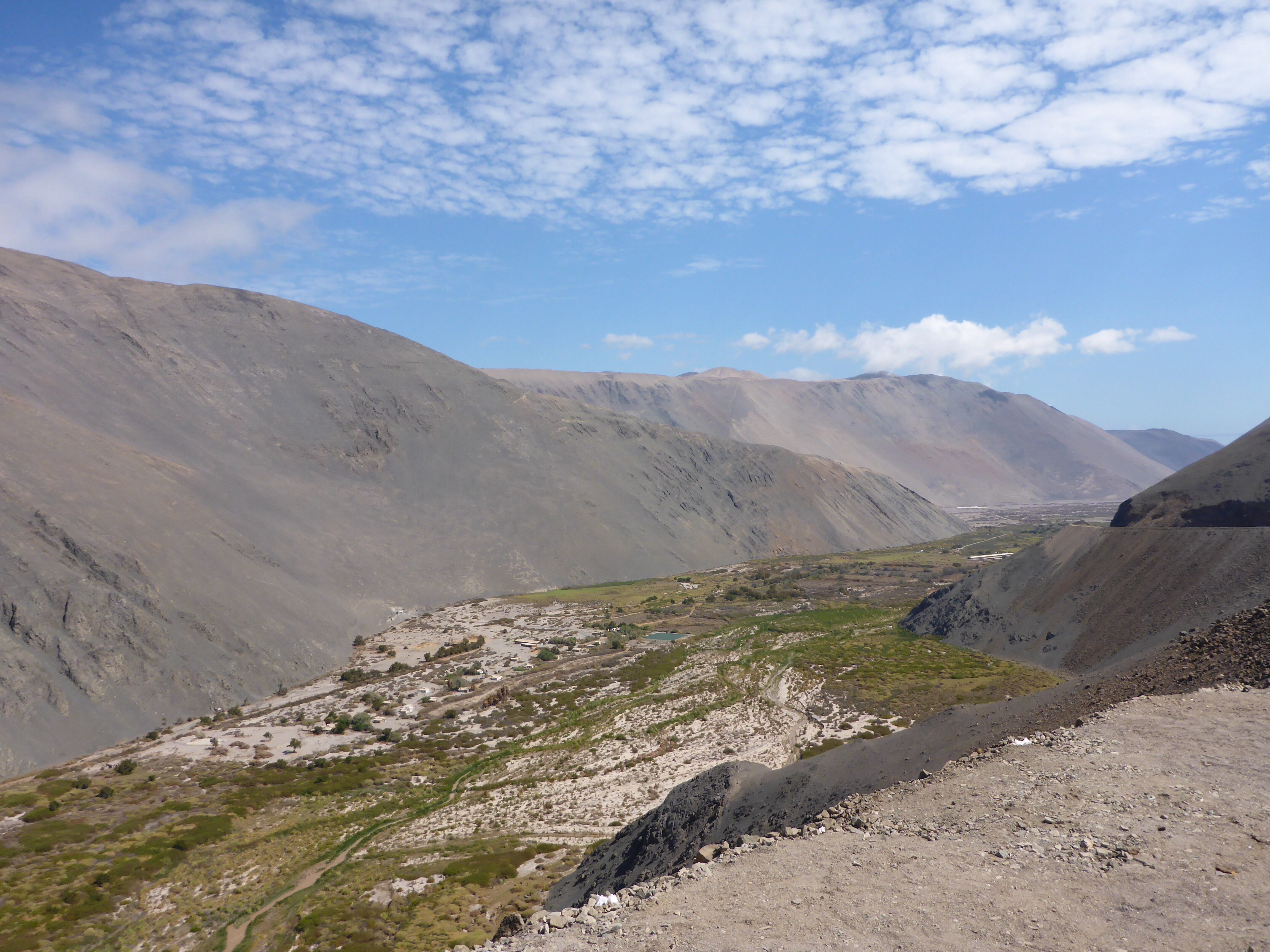
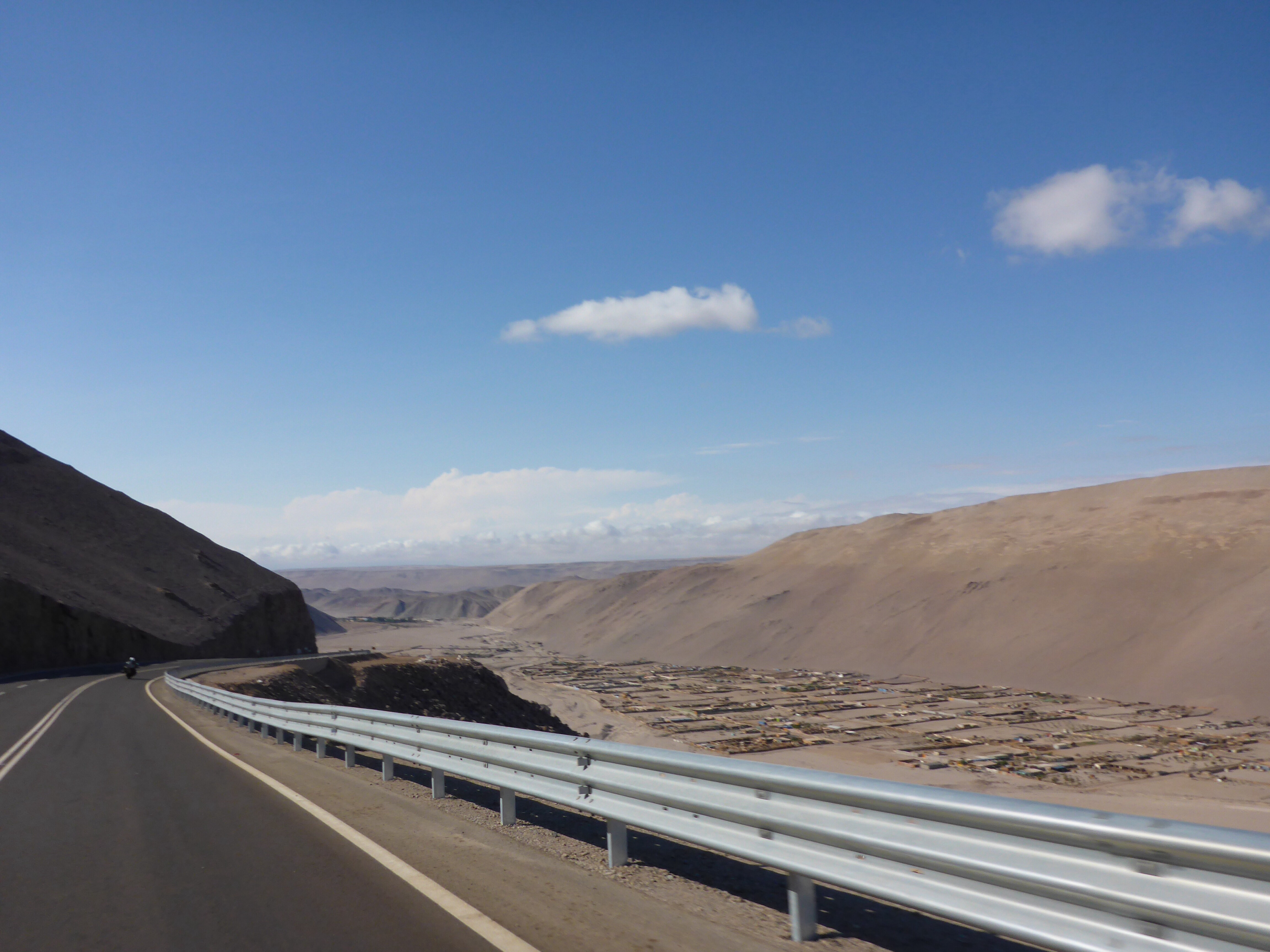
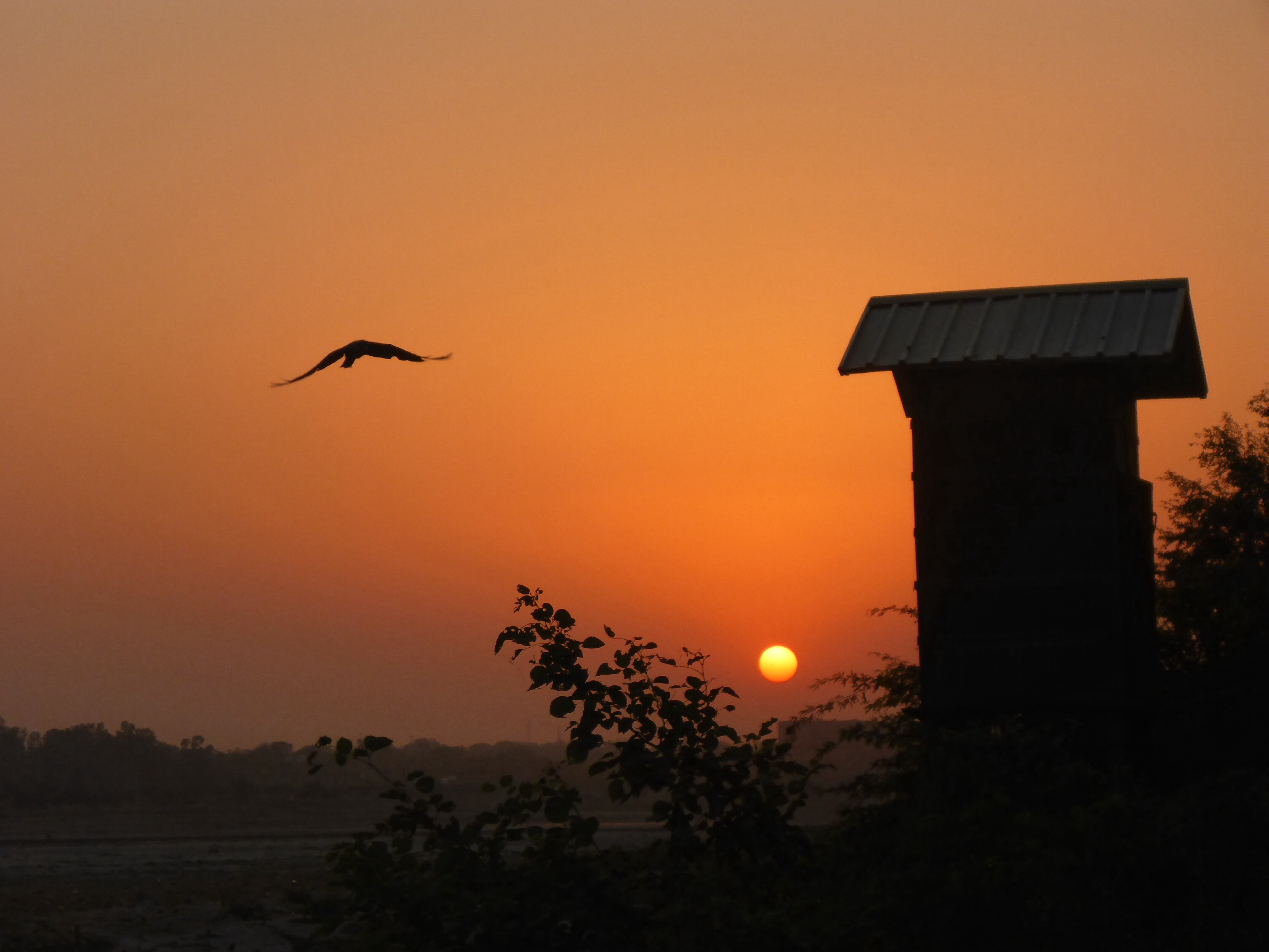
As we progress towards to the Nicaraguan border, the scenery changes to a drier more open country painted with an artist’s palette of browns and rust. I had assumed, incorrectly, that the Central American landscape would be all bright and vivid jungle greens based on pictures I had seen before we came here.
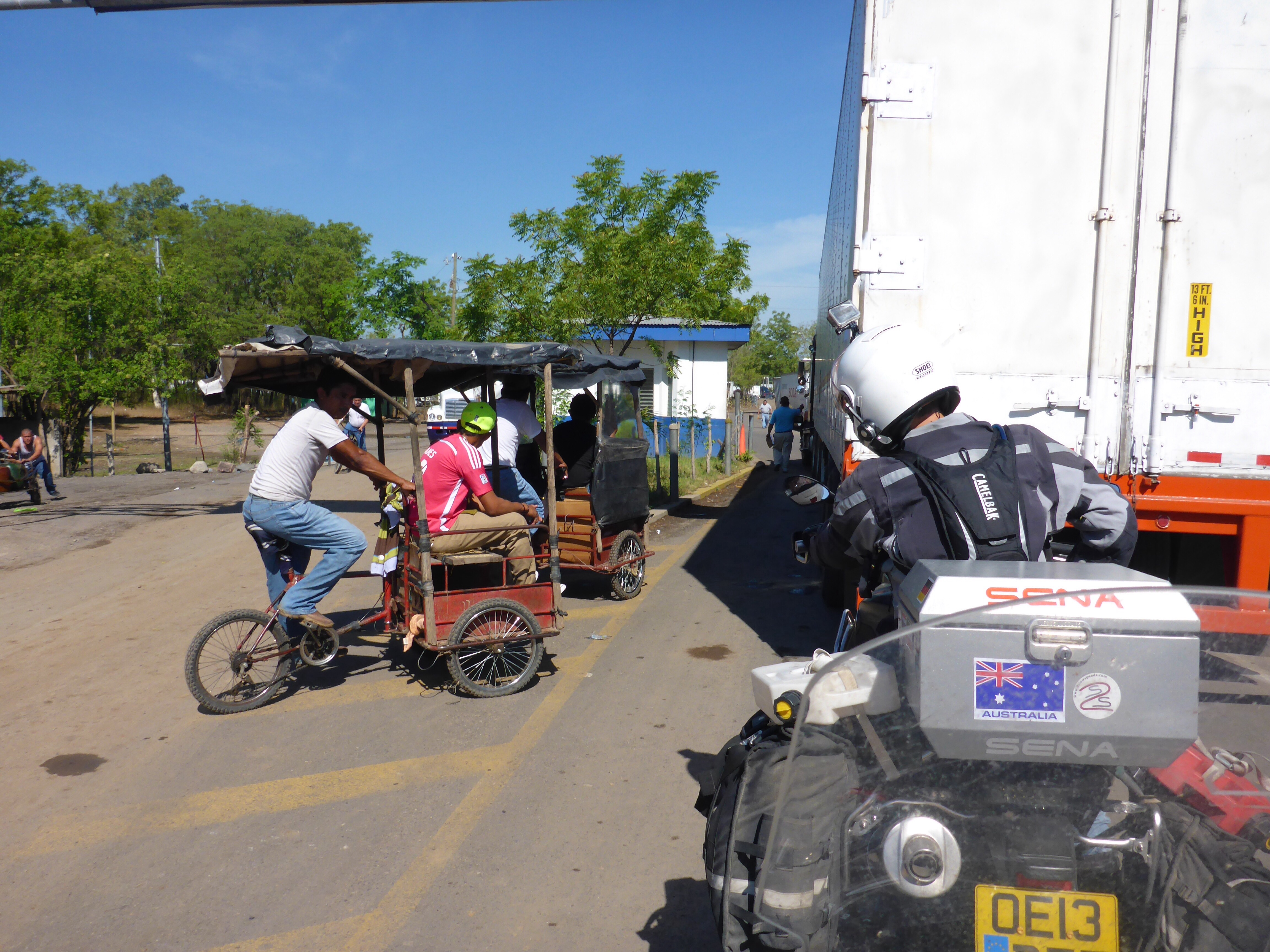
Our crossing of the various borders in Central America has been made easier by having sent Kristjan ahead to scout the route, note processes and problems and report back to us in written form. This has given us a head start at each border crossing as to what we might reasonably expect to encounter and Kristjan’s view of the current process.
Writing instructions. This is harder than you think. When each of us write instructions, we make sub-conscious assumptions, our own and about the audience. In the case of the Costa Rica Nicaragua border we went wrong at the first instruction which said take the first road after the entrance gate. I spotted a dirt road immediately after the entrance we turned left followed past the 300-400 meters in the instructions without spotting the customs building. Ahead a police car waived us down, we told them what we were looking for, they laughed and they directed us to continue and then turn right. This seemed a little strange until we realised the road we were on completely bypassed Costa Rica Customs and Immigration! I presume for those that were too busy to fill out the paperwork. We should have been looking for a concrete road a little further on the left, the second road in fact not the first, but the dirt road with trucks parked either side could be easily missed or mistaken for a parking area, Anne had not noticed it but I did. I am certain that those who read and use our border crossing notes may find fault or error in them. It may be the process has changed or I have made some assumptions along the way that others are not able to follow. It is always easier to amend than create, so our thanks to Kristjan for his pioneering work.
Full details of the actual crossing process are in Borders and Visas section. Again we were lucky with the process, the Costa Rica side we handled without a facilitator and apart from having to convince a customs officer that we had not been processed by the colleague who he had just taken over from was straight forward. Our intelligence on the Nicaraguan side was that a facilitator was needed and it turned out to be a beneficial. He took us through the myriad of buildings, windows and processes. We also inadvertently came across our first border corruption. After completing the customs and police inspection we were advised by our facilitator that the police check, which was in addition to the Customs check, only took 2 minutes because we were to pay US$20 avoiding a 2 hour search. Neither of us were happy with not knowing this in advance as we would have chosen the longer search. Some may think us hypocritical because we have paid spot fines to police before, but that was our choice. I should add that we have seen signs in some of the offices in Costa Rica saying there are no charges for forms or processing by Government officials. Progress is being made.
It is interesting that in all our travels on this trip, the Central American countries are the only places we have encountered ‘fixers’ or facilitators. In Central Asia, locals or officials would always point out the next place to go in the process, similarly in South America. In Central America however it has become a business which, given the amount of queuing and running around that can take place, they can be useful to expedite the process. We used them on two of the five border crossings, the others we took care of ourselves.
We have deduced from the number of land crossings we have made that the paperwork process, in our experience should, but probably will not, go along these lines:
Country Exit – cancel ‘Vehicle Temporary Import Permit’, process Passport for exit ……..
Country Entry – complete immigration and customs form, process Passport, obtain Vehicle Insurance, obtain ‘Vehicle Temporary Import Permit’
Photocopies are the order of the day at most borders, some you can do in advance such as Passport, Vehicle Registration and Driving Licence. Photocopies of your just stamped passport page, or document just issued means unless you have a portable photocopier, you will need fresh copies and it always seems there is a business setup to provide such services handy. I did talk with one official who spoke good English at a border crossing about the endless copies and they agreed to processes are very bureaucratic for them and probably unnecessary in many cases as well.
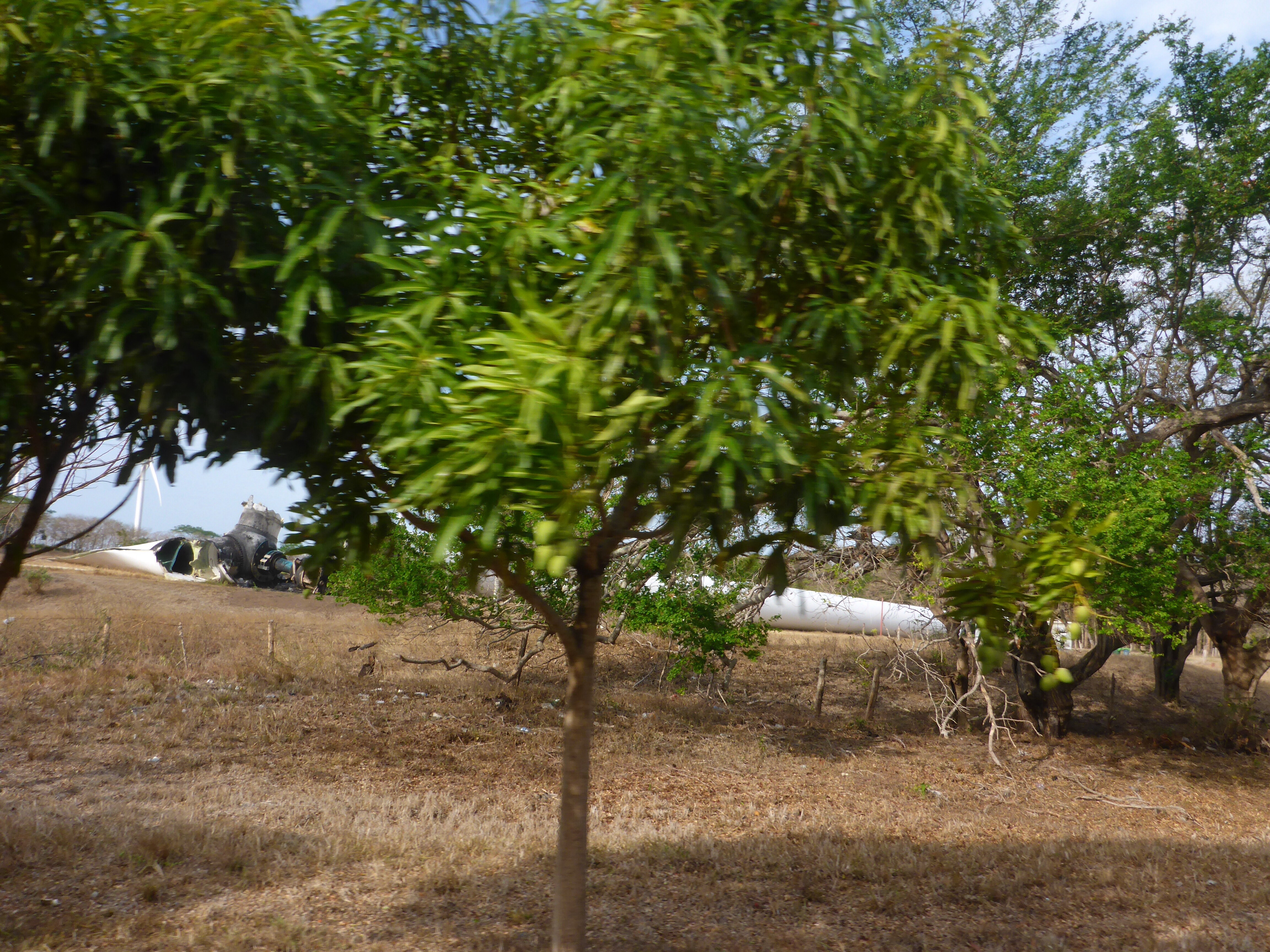
We come across a large (44MW) wind farm manufactured by Suzlon just inside Nicaragua along side lake Nicaragua, close to where the proposed canal connecting Pacific and Atlantic would be built by the Chinese. Here we see our first broken wind turbine blade, the remains just hanging in space, further on a complete turbine and tower are down. The base looks like the centre of a kitchen roll that had been bent. Not real good for the turbine when it hit the ground. Given the strong gusts wind we are encountering I can understand how the those two turbines met their fate.
Horizontal and broken off wind turbine.

Not good for the turbine as it hit the ground.
Down to San Juan del Sur, one of Nicaragua’s must see beaches. We find a wonderful hotel on the main street. Across the street palm frond roofed restaurants sit with views across the beach and out over the sea. One can sit and sip a cold beer watching pelicans dive for fish. The place has a pleasant feel and not too overcrowded. We realise that San Juan del Sur caters to a younger crowd than us by the proliferation of bars/discos using loud, well to us, music to attract clientele.
When we travelled down through Africa in 1982-1983, we commented on the proliferation of Coca-Cola signs, even in the remotest places, and how one day when archeologists in the the future are excavating our present, they may assume Coca-Cola was a vast all encompassing empire. I prefer it to Pepsi any day. Fast forward some 30 odd years, Coca-Cola is still everywhere, but archaeologists, will be puzzling over the hand held VISA card machines that seem to be at every small cafe, store and petrol station. We are able to pass through some countries without changing any currency due to to proliferation of VISA machines. Progress moves steadily forward, what will be the global relic in another 30 years?
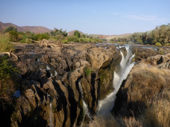
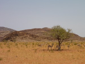
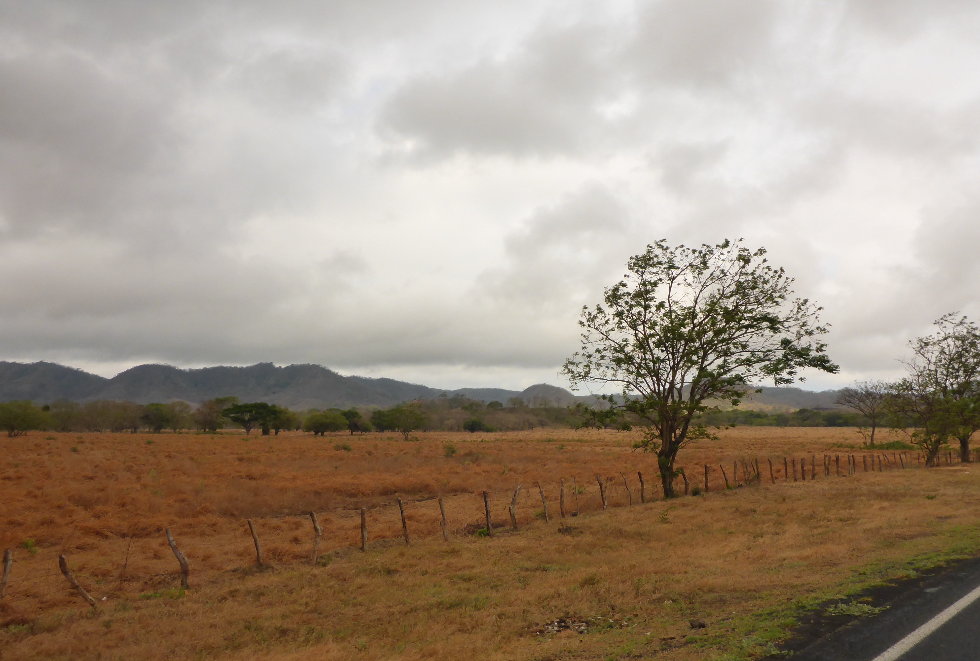
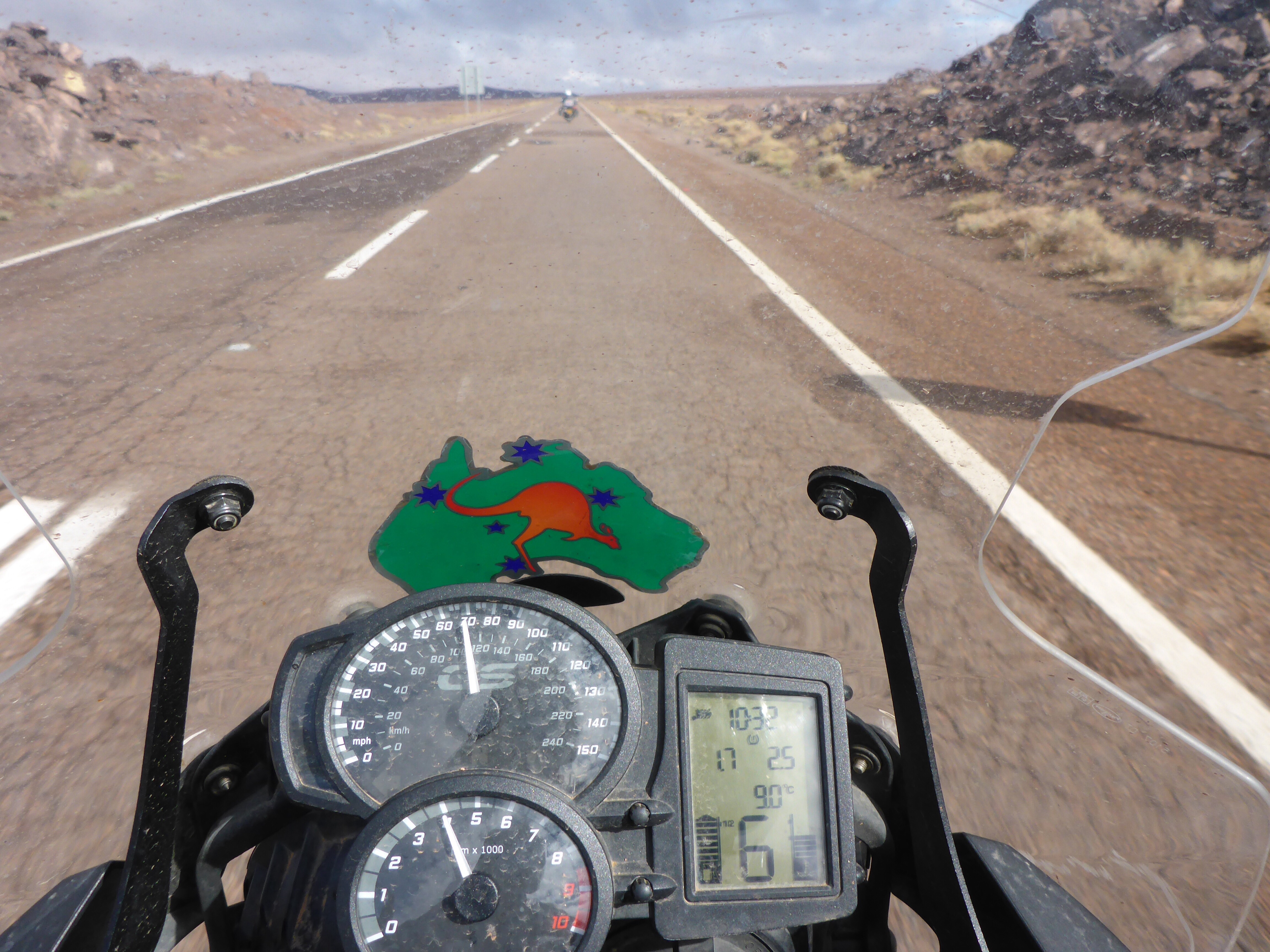
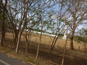
It has been surprising the counties we have travelled through have been so dry. We were expecting lush tropical scenery and instead found ourselves travelling through a vista not too dissimilar to riding out towards Esk and Wivenhoe dam back home. The temperature reached 42 degrees celsius during our Central American transit which makes for hard riding.

Not what we expected in tropical Central America
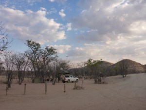
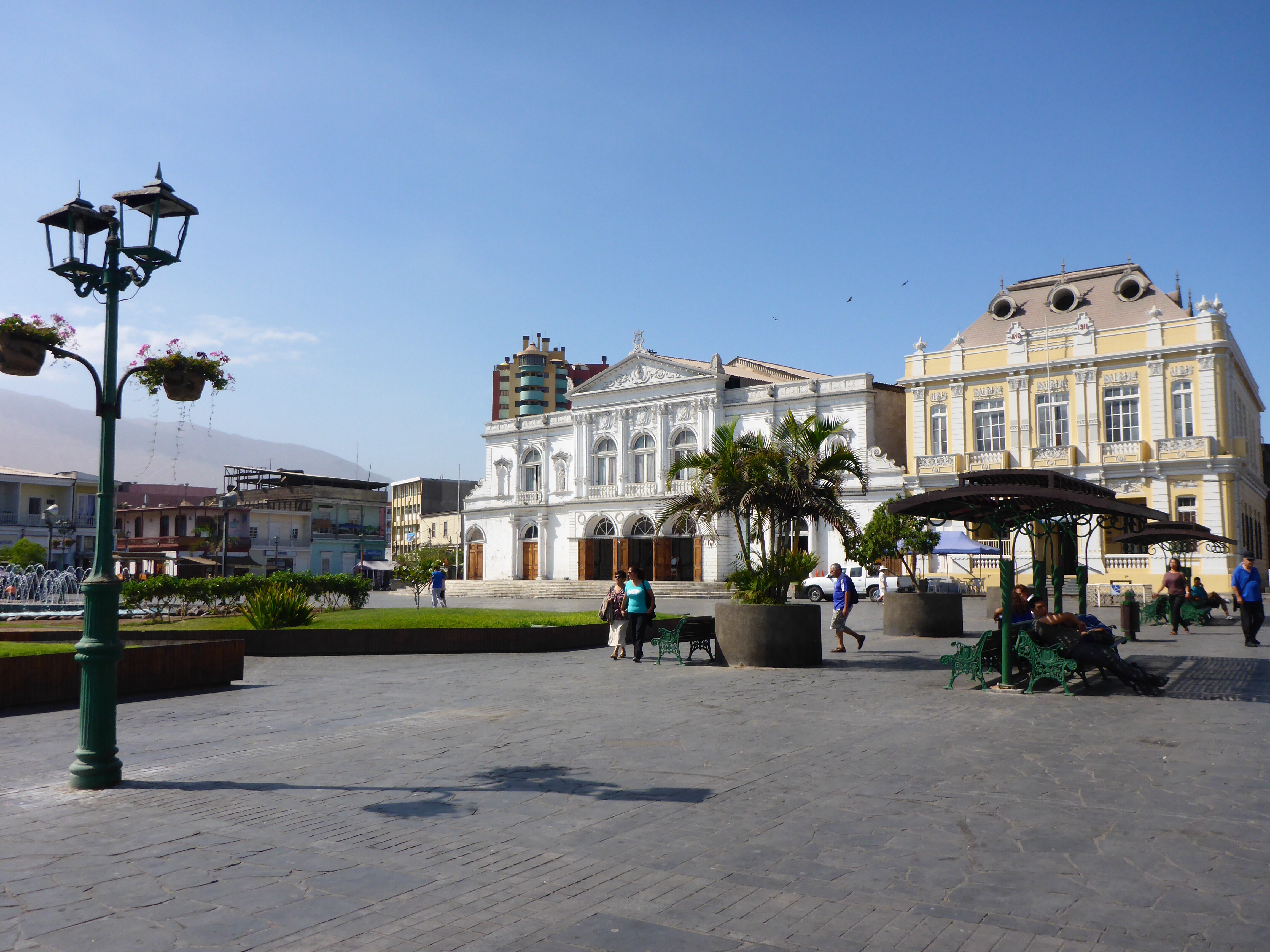
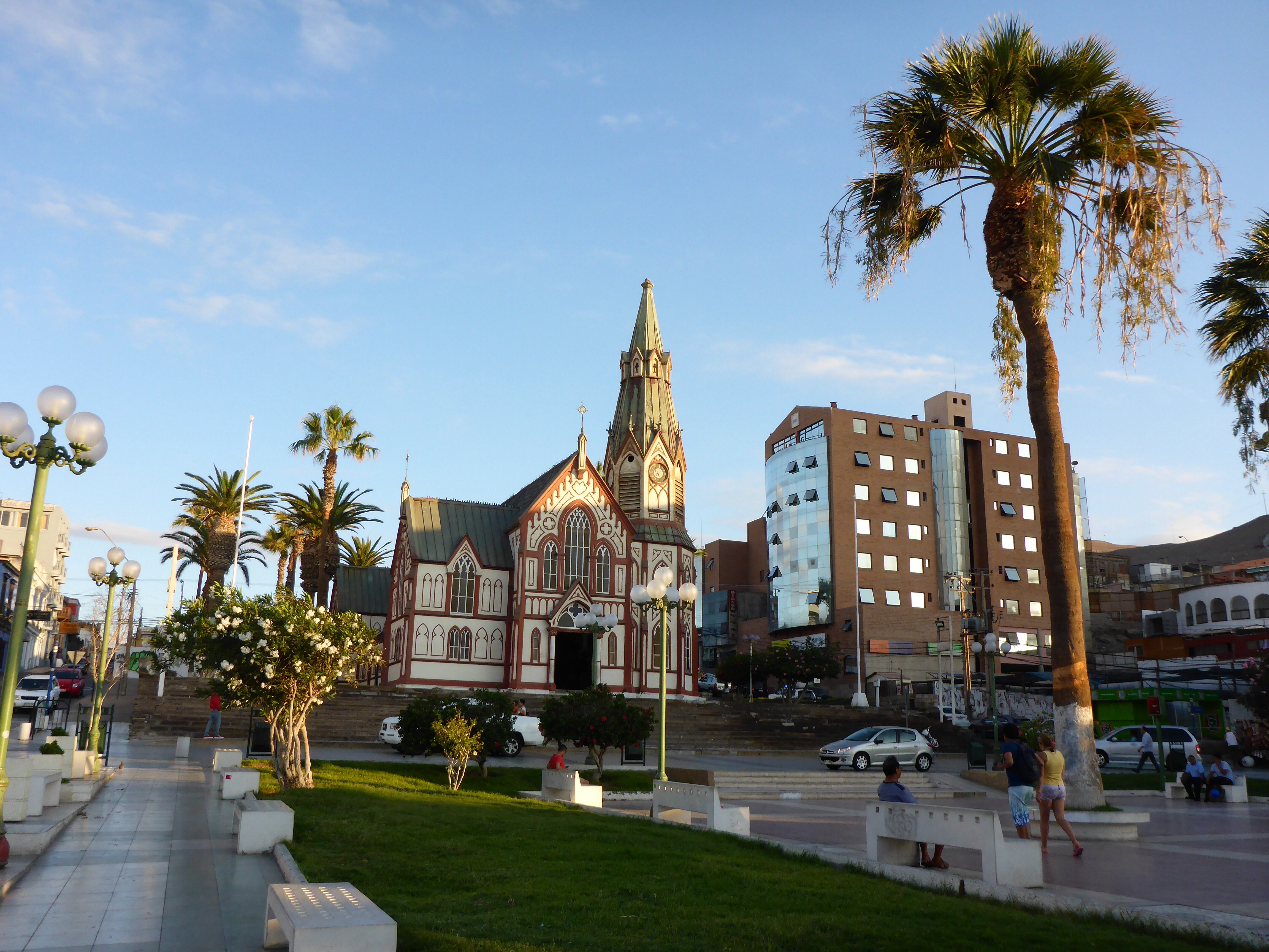
We spend a second night in Nicaragua at Chinandega. A small town within a reasonable distance of our next border crossing. A wander through the town reveals a main square with a recently built castle, we think for the kids. Always interesting how each place we visit tries to develop itself, we may not understand why they pick a particular approach, but they are making an effort to provide for the local people.
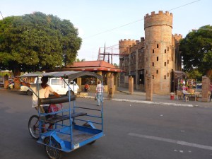
Chinandega, Nicaragua

Chinandega main square, Nicaragua
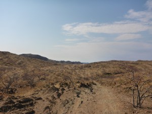
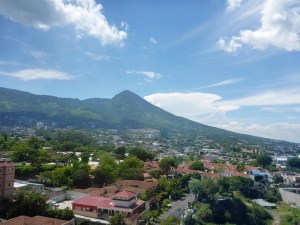
After last night’s massive downpour, we get off to a blue sky day, and fabulous views of one of the many small, hopefully dormant volcanoes that dot the landscape.
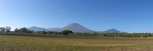
San Cristobal volcano, Nicaragua
We decided to attempt two crossings in one day, estimating 2 hours per crossing based on previous experiences. Our first crossing is from Nicaragua to Honduras, the usual crowd of facilitators is around, and we offer the opportunity to a young kid, but he does not speak english or fully understand the process so an English speaker steps in. The process is detailed in Borders and Visas. Doing four sets of Immigration, Customs and Vehicle temporary import processing in one day, I am having some difficulty extracting each element clearly from my memory so if something is not right please bear with me.
What was interesting to learn from the Honduras Customs officials is that they ask us not to pay money to fixers for services, we will tip the fixers for their help but not pay for officials’ services.
After spending almost three hours entering El Salvador, mostly due to the indifferent attitude of the data entry operator who spent one and a half hours entering data from three forms, already completed by their colleagues in Spanish. One was mine, one Anne’s and third and Aussie couple from Perth in a van. Even when the Aussie couple had their paperwork completed, they still waited with us, which was really kind of them.
On this border crossing we also ran into a problem with my Vehicle Identification Number (VIN) sticker. During the replacement of my steering head bearings, they damaged the sticker removing one of the VIN numerals. Luckily I was able to show the official the actual engraved VIN as well. He only looked closely because he was training new staff, most countries never bother to check as long as they have their multiple paper copies.
El Salvador to Guatemala was straightforward and as it was Sunday all the fixers were in Church! Guatemala to Mexico was our last crossing in the series. Fairly straight forward, expect that the gentleman who had entered our temporary vehicle permit had not activated it, thus it could not be cancelled! I thought for a brief moment, could we have our money back as we were now across the country, but thought better of it. It never pays to mess with Customs and Immigration officers.
We have been constantly warned about our personal security by locals as we travelled through Central America. Sometimes they warn about the next country along, others about their own country. We were advised not to stop in Honduras at all. The vast quantities of razor wire in evidence around businesses and homes are testament to either top quality razor wire salesmen or a real problem of theft. I suspect the latter.
One aspect we were not used to is the use of armed security guards. In Guatemala and El Salvador armed security guards can be found at petrol stations and restaurants, anywhere that cash accumulates, usually in pairs armed with pistols and pump action shotguns. We see them traveling around on the back of mopeds, nothing like riding past the business end of a pump action shotgun laid across the seat between driver and passenger, we travel past quickly, I would hate for a bump in the road to set the gun off as we pass, ruining and otherwise perfectly good day.

Army guy riding with his shotgun across his lap, Escuintla, Guatemala
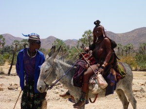
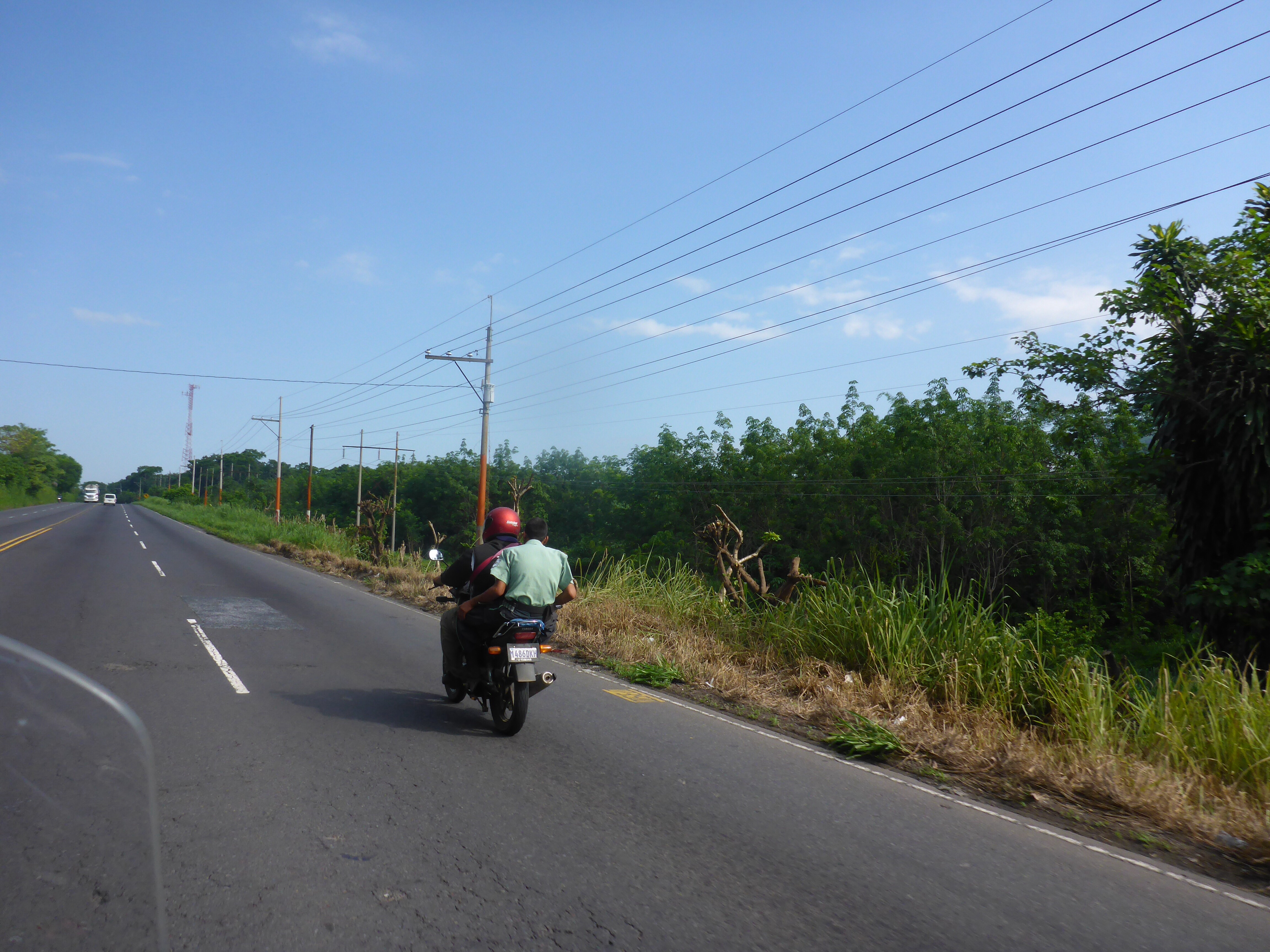
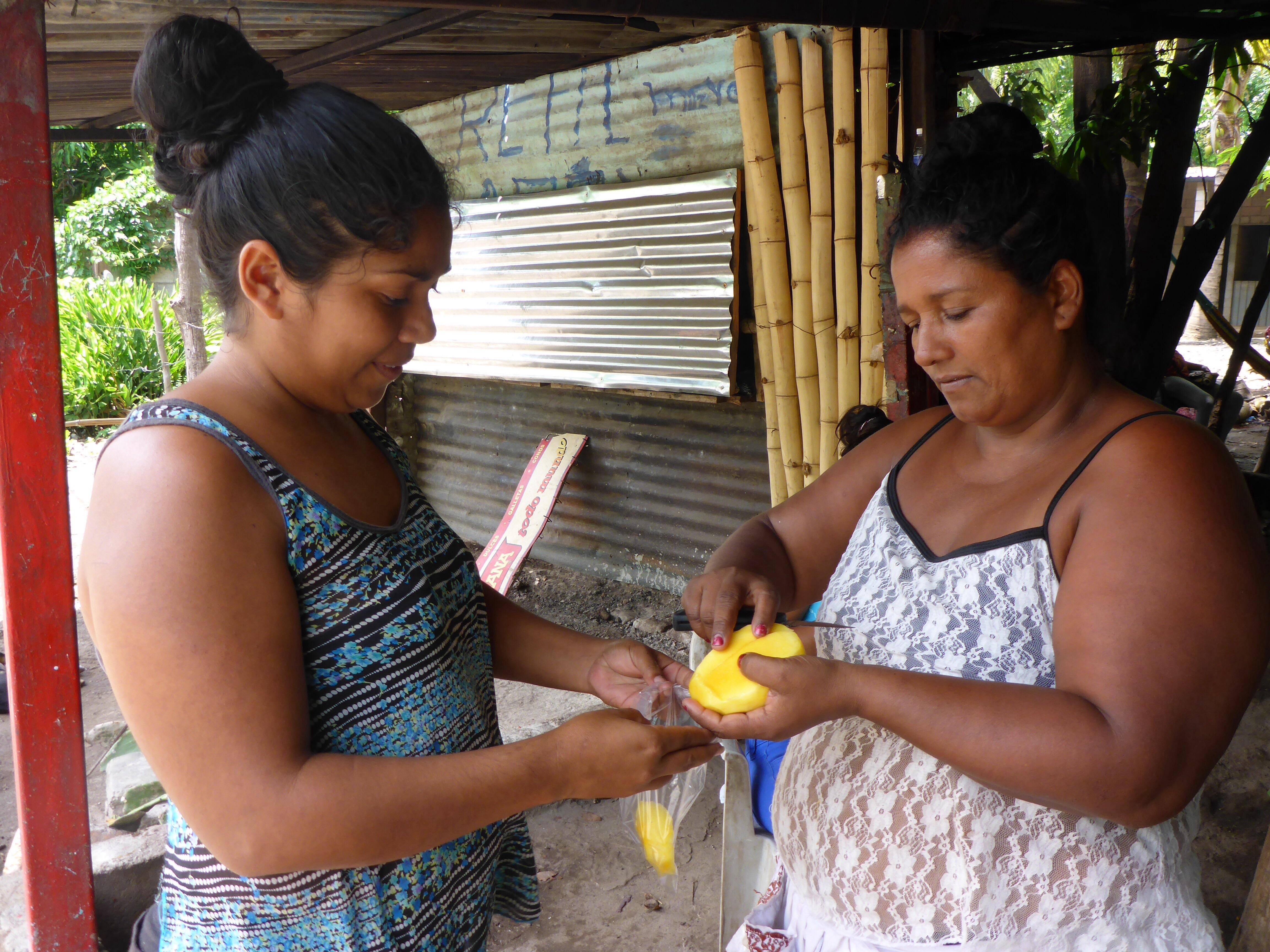
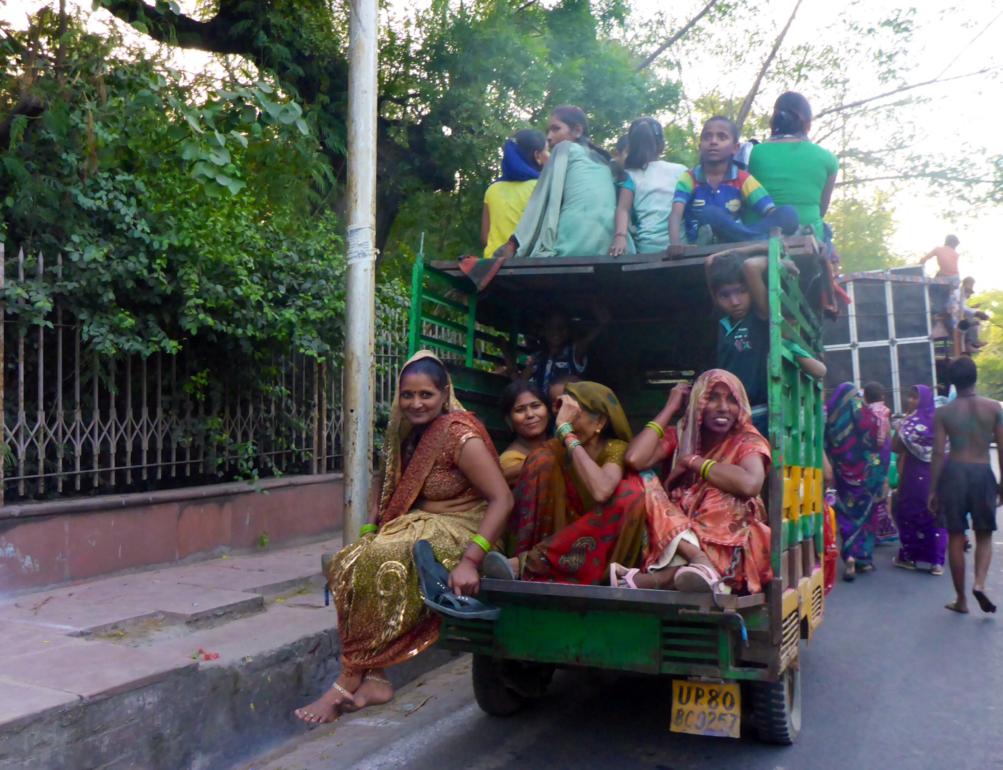
It was interesting to note the changes in modes of transport between the various Central American countries. The number of mopeds, tuk tuk’s and donkey carts varied from one to another depending, I surmise, on the respective wealth of the country. While the Golden Arches of MacDonald’s and other American consumer icons became more prevalent as we moved towards Mexico, the roadside stalls still exist in large numbers, enabling one to stop, for whatever is the local produce, Mangos in this case.

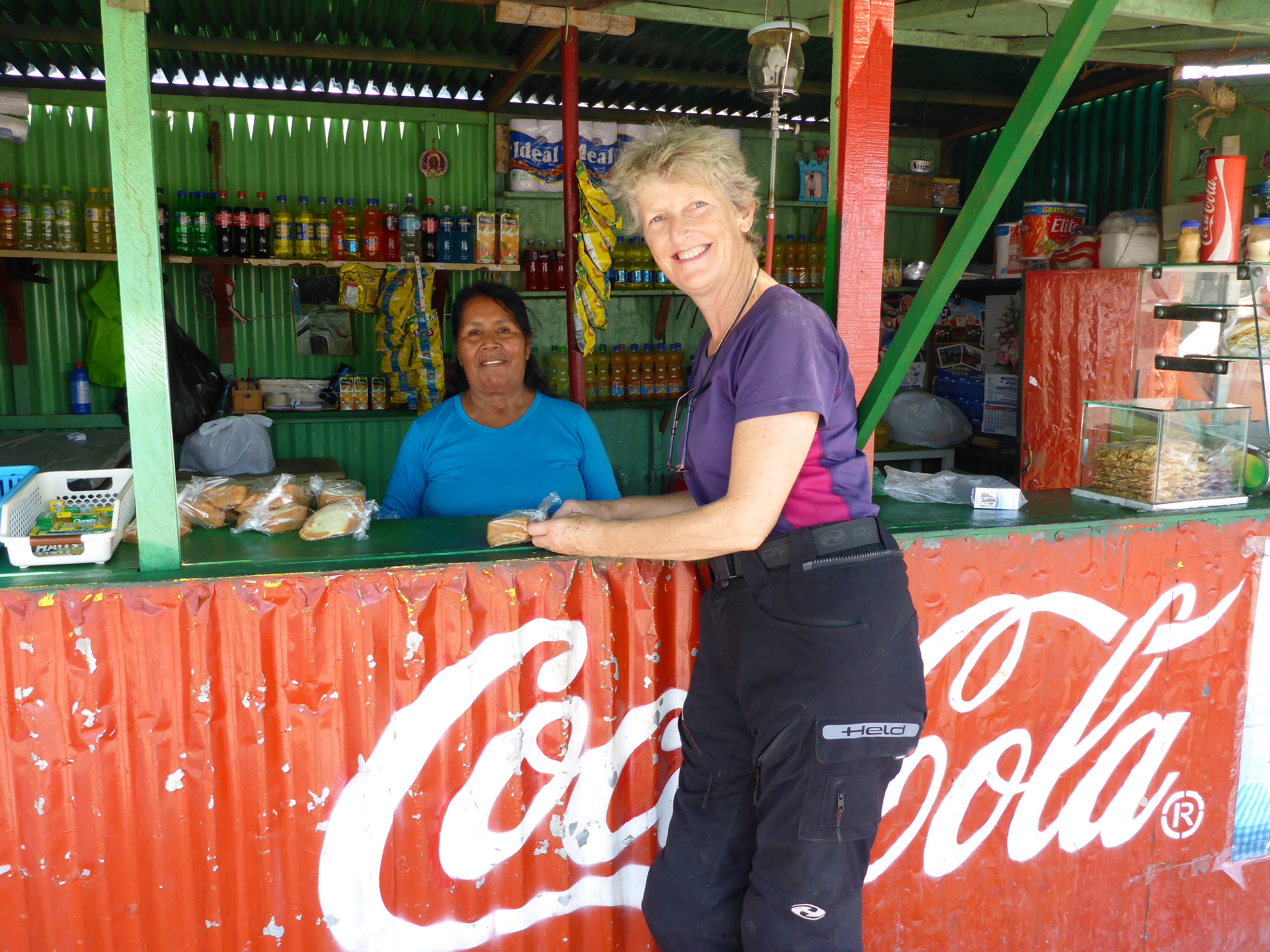
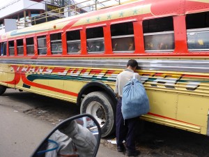
Having a fresh mango peeled on the side of the road in El Salvador
While we have only briefly visited this region, there is much to intrigue the visitor who has time to explore further. The beaches, jungles, volcanoes, historic monuments and the people make would make for an adventurous journey.
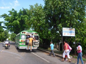
These buses barely stop to let passengers on and off in El Savador
San Savador, El Savador

Typical Central America Auto Motel

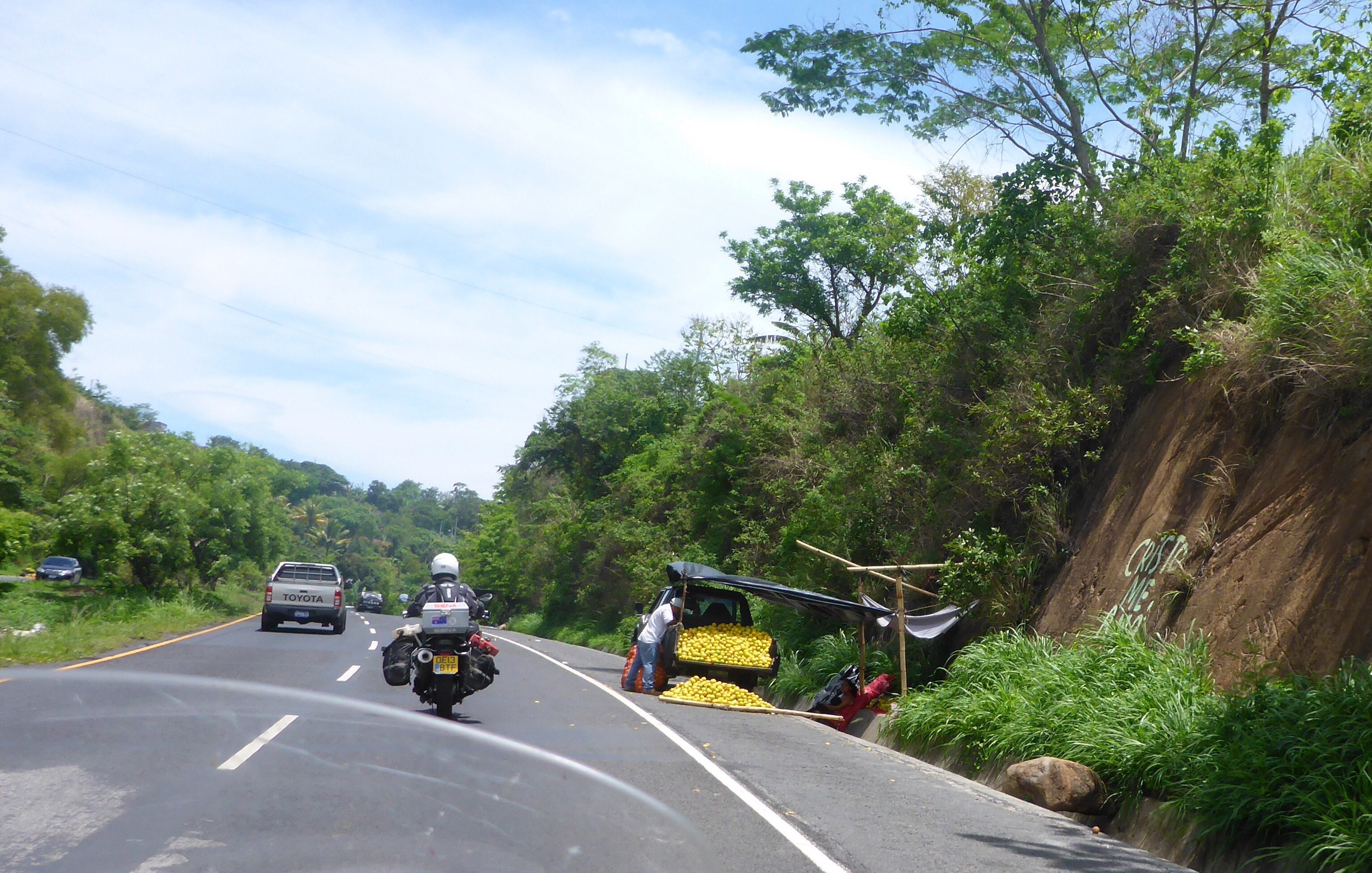
Another roadside seller in El Savador – fresh lemons

Somotillo border post ‘Must be able to squeeze through here’
In the middle of Barberena, Guatemala – must have been desperate
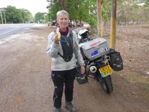
Anne can finally eat a banana in under an hour
– Anthony