Ecuador has been our first country visited for the first time since Laos, back in November 2014. As Anne talked about in the previous blog entry, a pleasure to ride in. We have no specific plans but are heading to Quito via Riobamba to take up Jos and Karen’s kind offer to stay with them. One advantage of the route up the middle of the country is the absence of Malaria at the altitudes we will encounter.
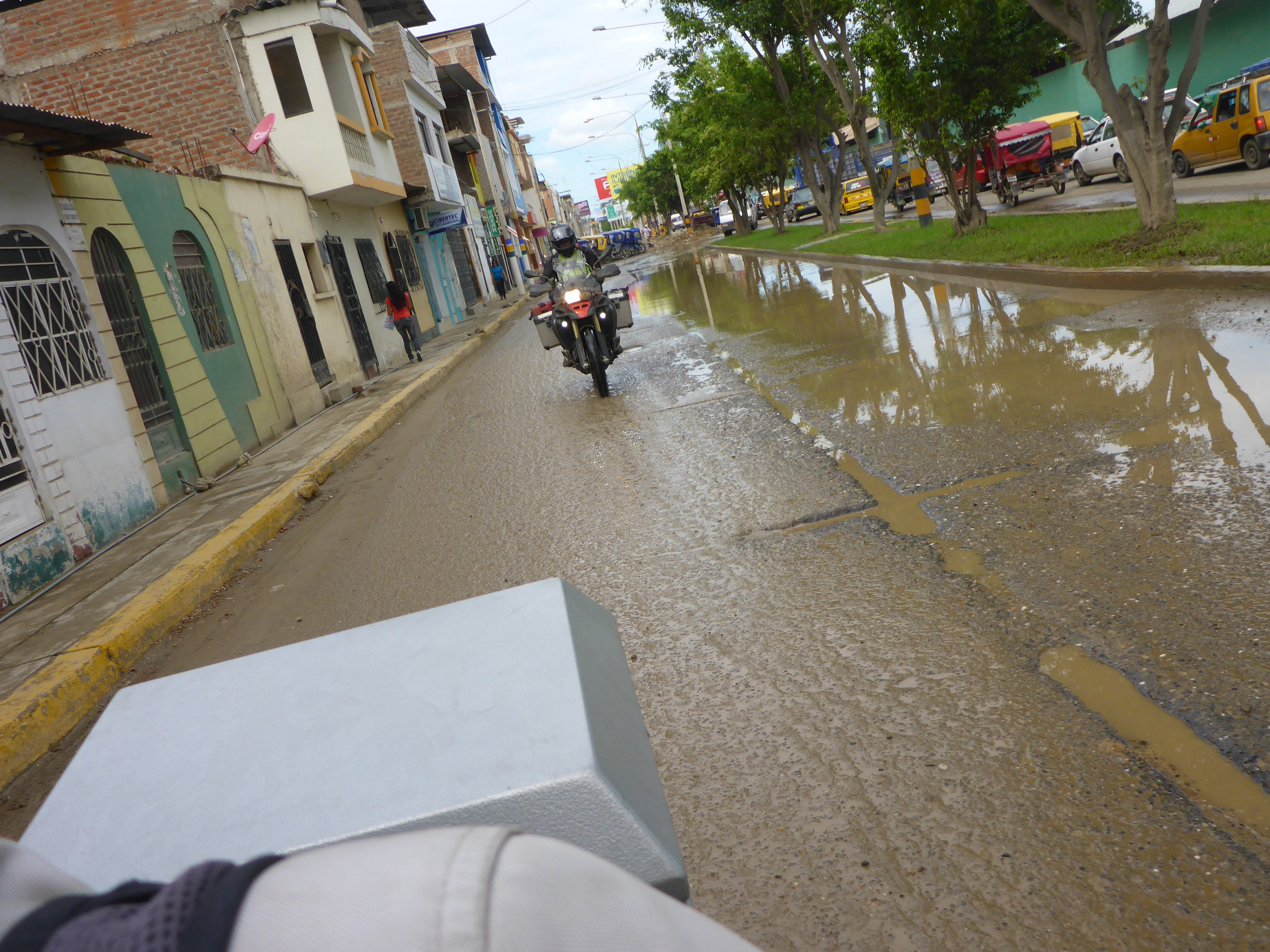
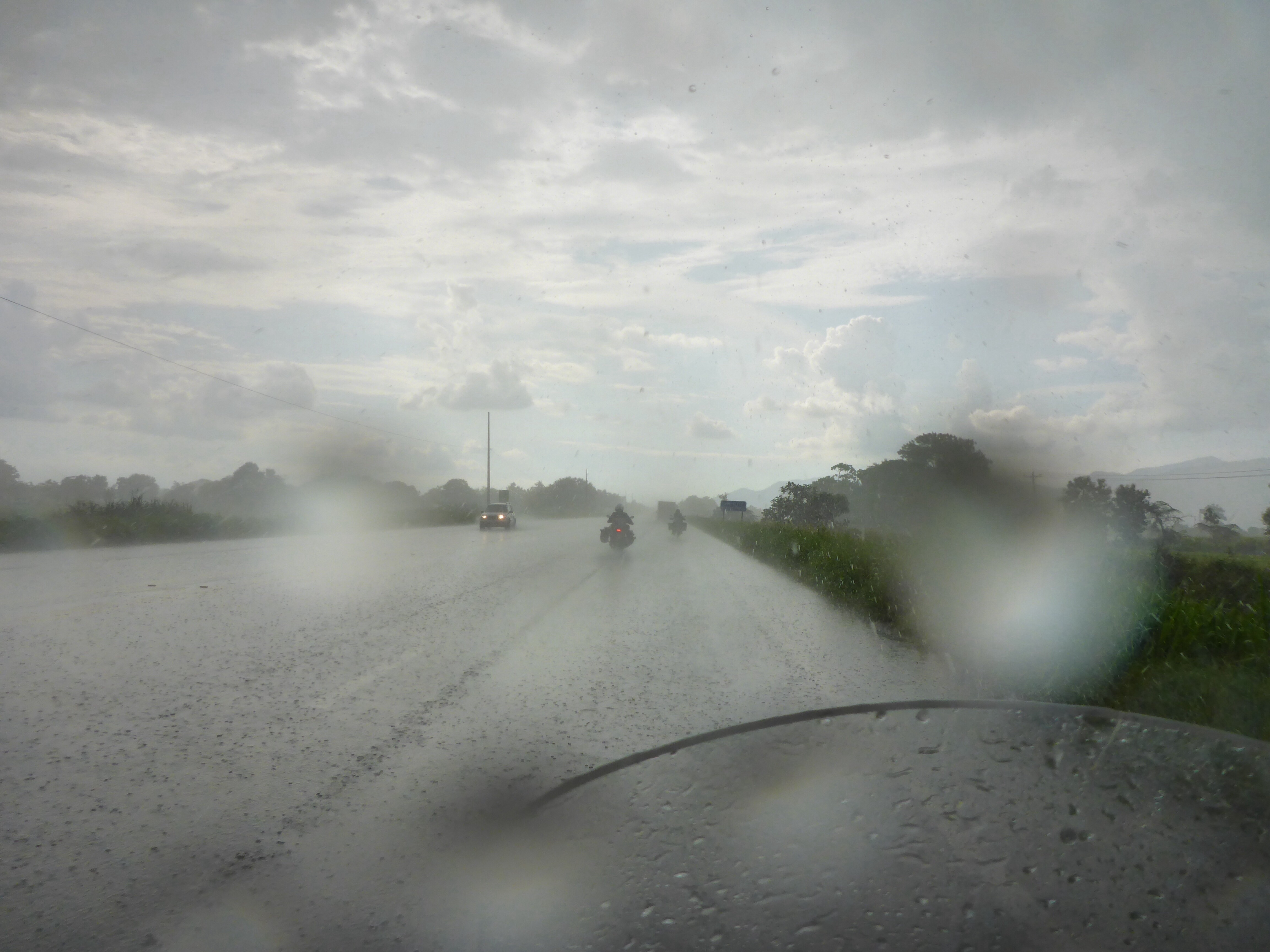
As we have travelled up the west coast of South America, we have been blessed with nice dry weather. We have managed to avoid almost all of the unseasonal downpours that have afflicted some parts of the west coast. The lush environment that has surrounded us since we left Peru and entered Ecuador can only be maintained by regular watering from above. We will need to learn to ride in the rain again!
We did hear some troublesome news from a couple heading south at the Peru – Ecuador border that the new ferry service thhat plies between Cartagena in Columbia and Colon in Panama may be suspended from 23 April 2015. This was reiterated in a recent blog entry we found. Our easy transit to Panama has been terminated and we are back to the drawing board on that one. Nothing we can do, just part of the challenges all travellers can face regardless of their mode of transport.
Our Garmin Montana GPS has faithfully recorded the route travelled since we started in the UK back in June 2014. One of the metrics it records is altitude gained. We are at over 95 kilometres or 58 miles and our journey from Guayaquil to Quito will take us over a 3,800 meter pass so I think that before we leave South America we will break the 100 kilometre barrier in vertical height gained. Update – the Garmin only displays up to 99999 metres, or 100km / 62 miles. So now the display shows _ _ _ _ _ maybe I should have reset it somewhere along the way.
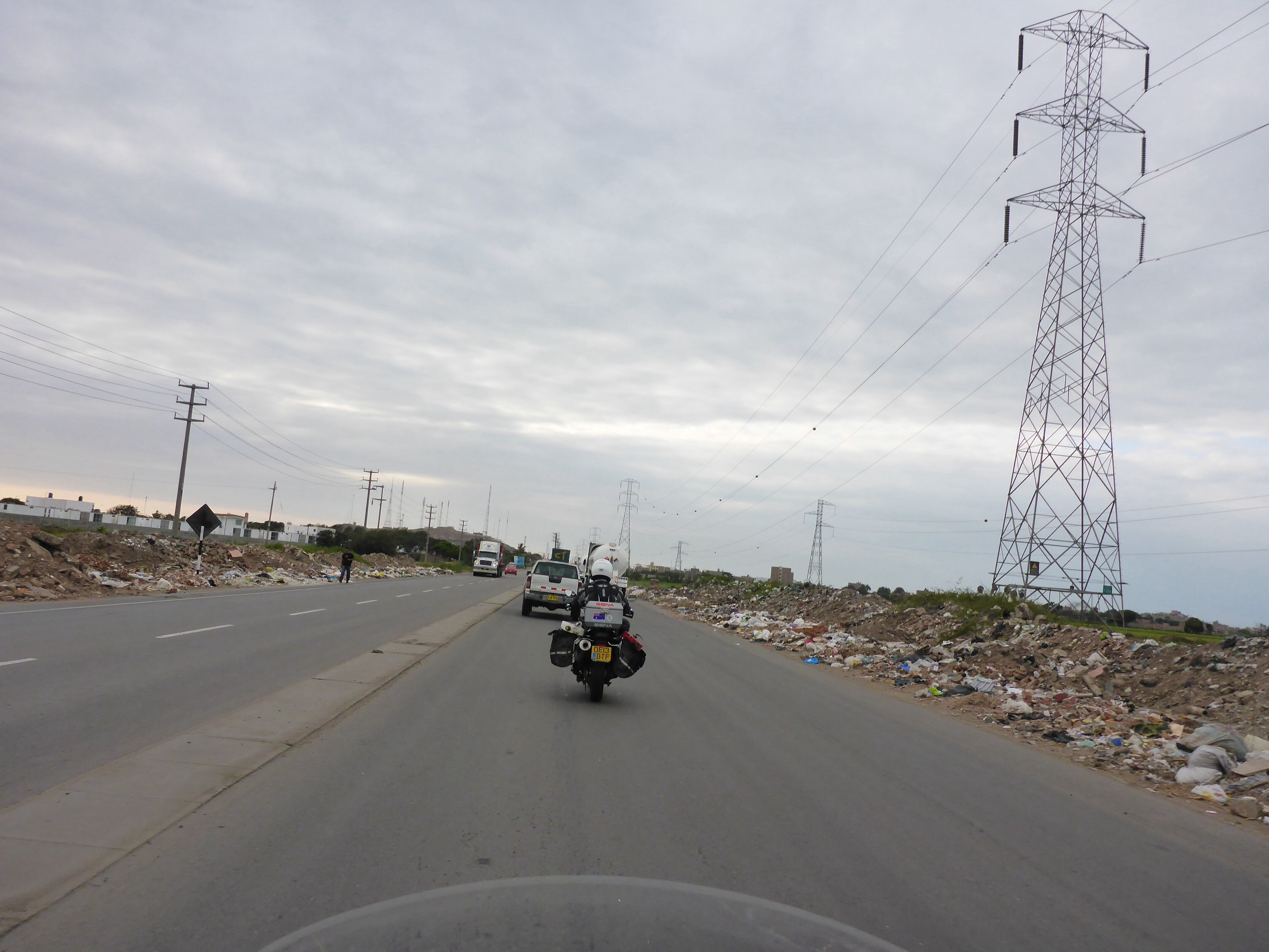
Out of the city amd on our way.
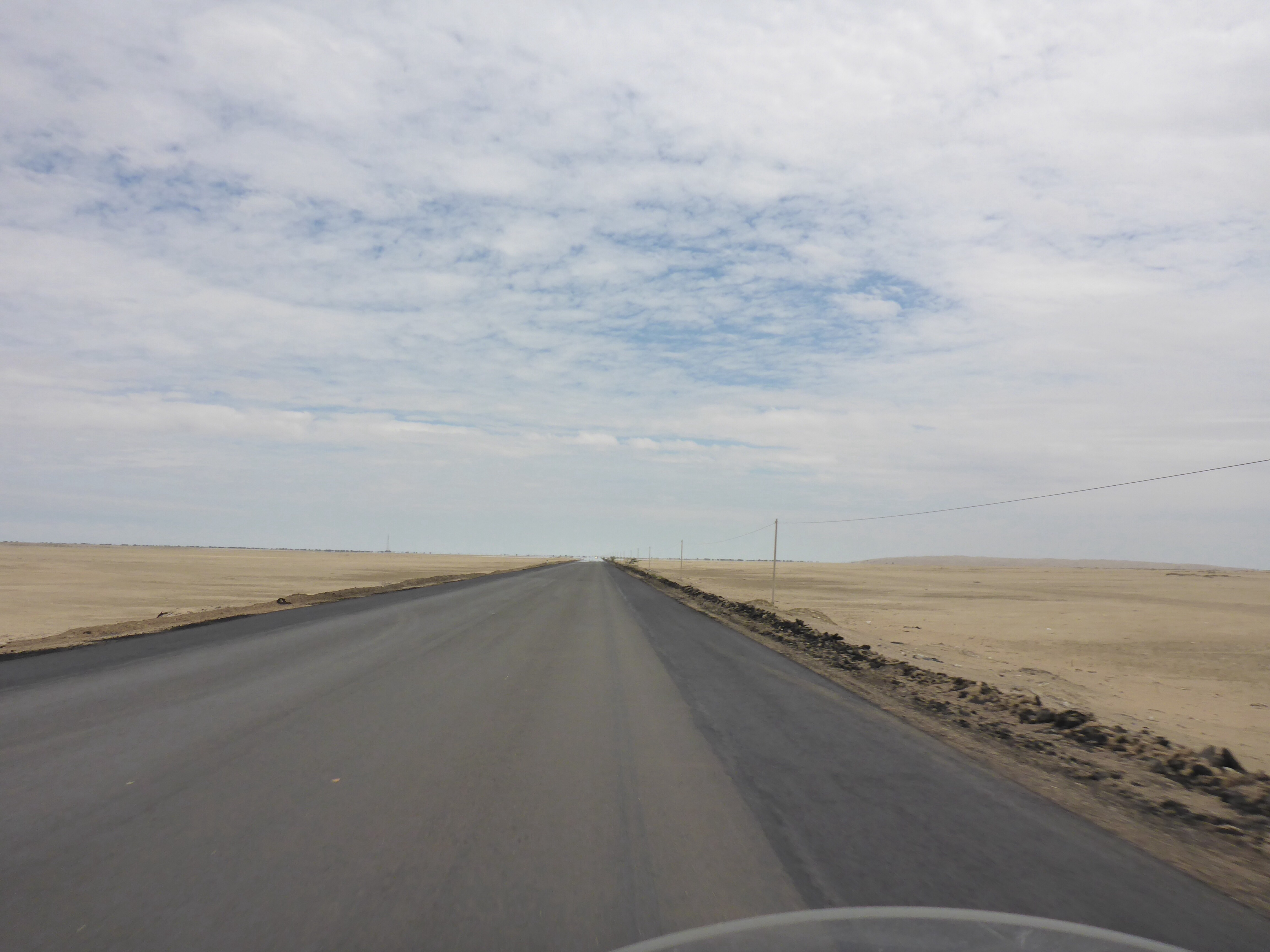
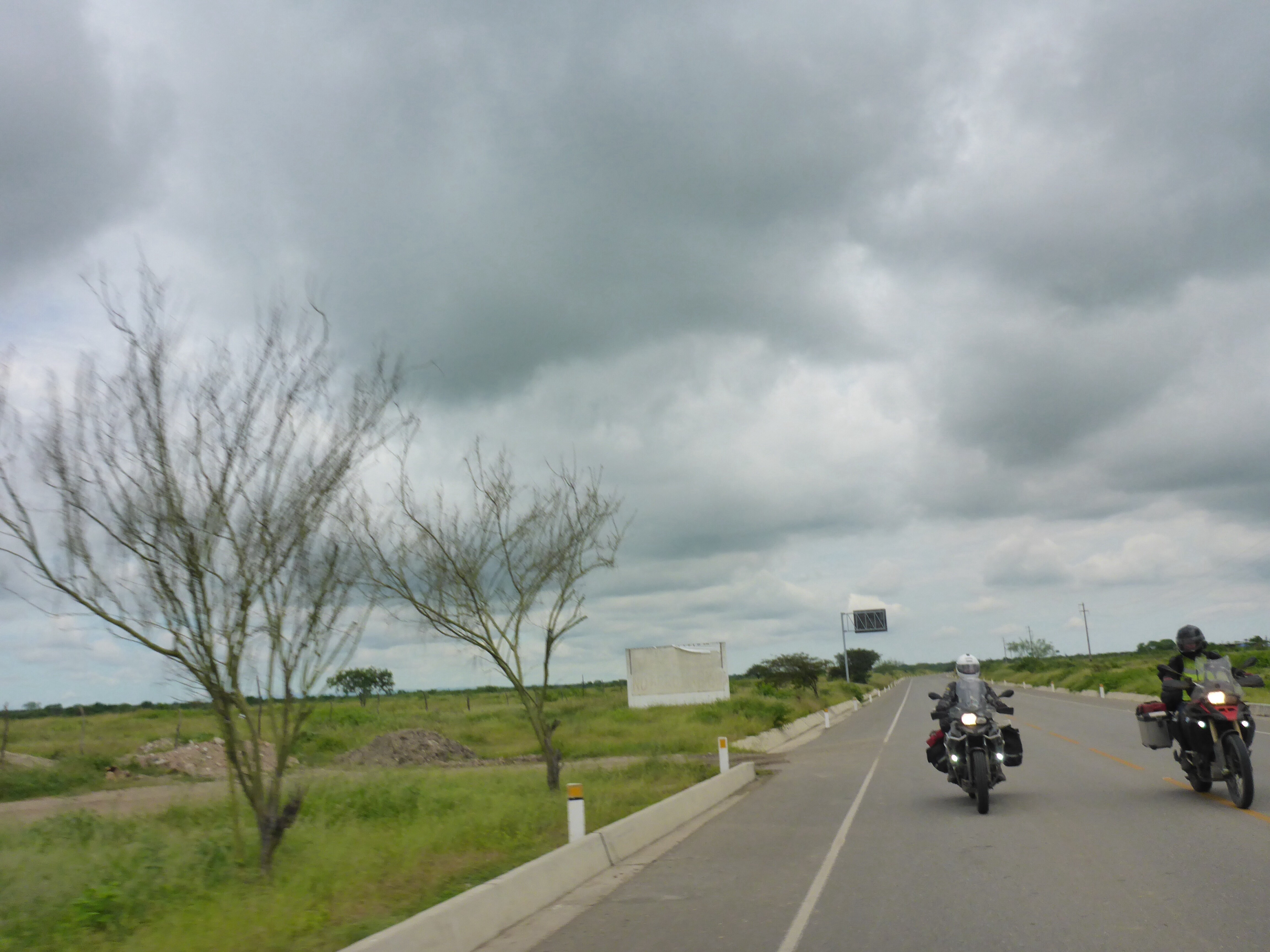
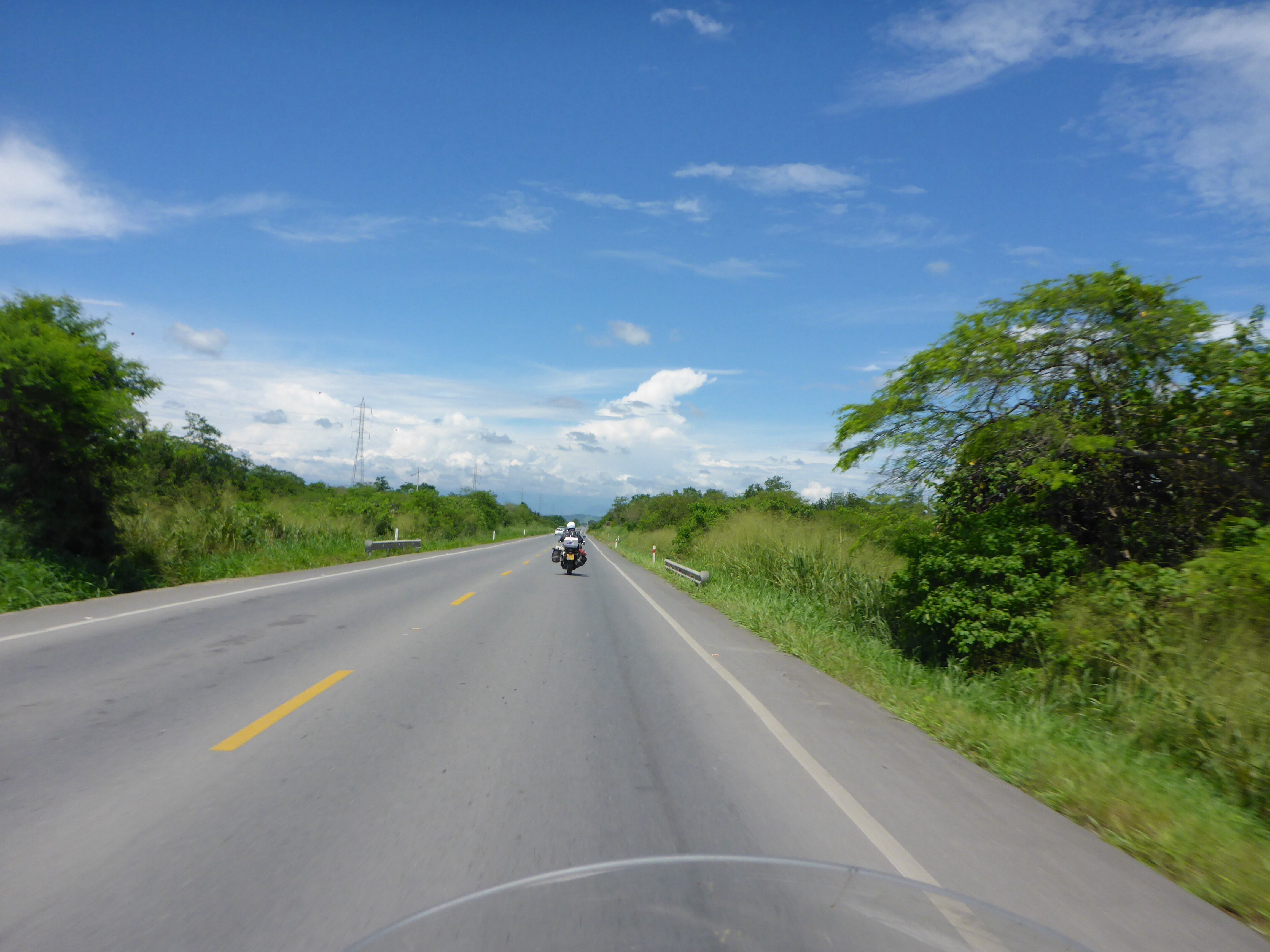
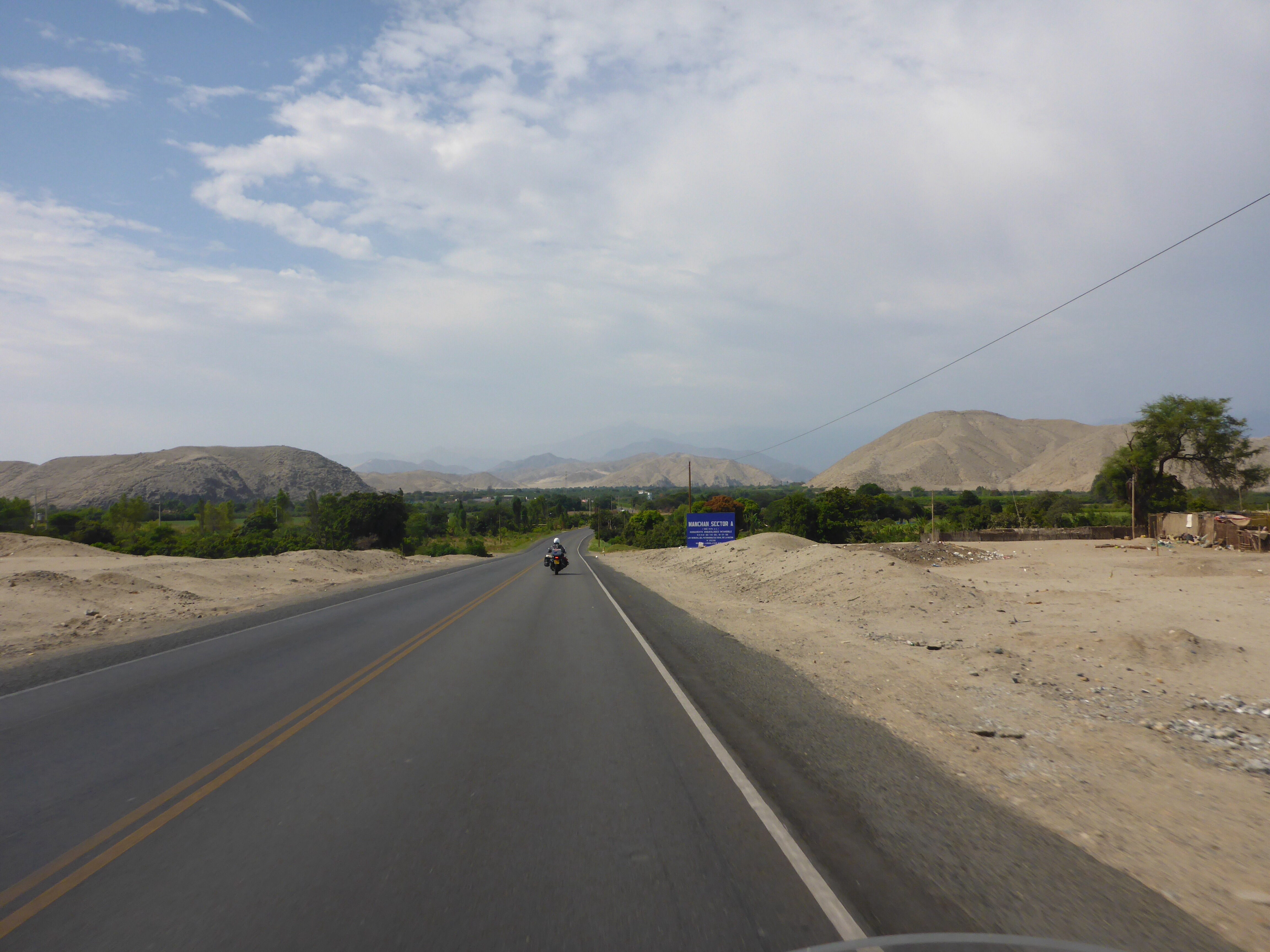
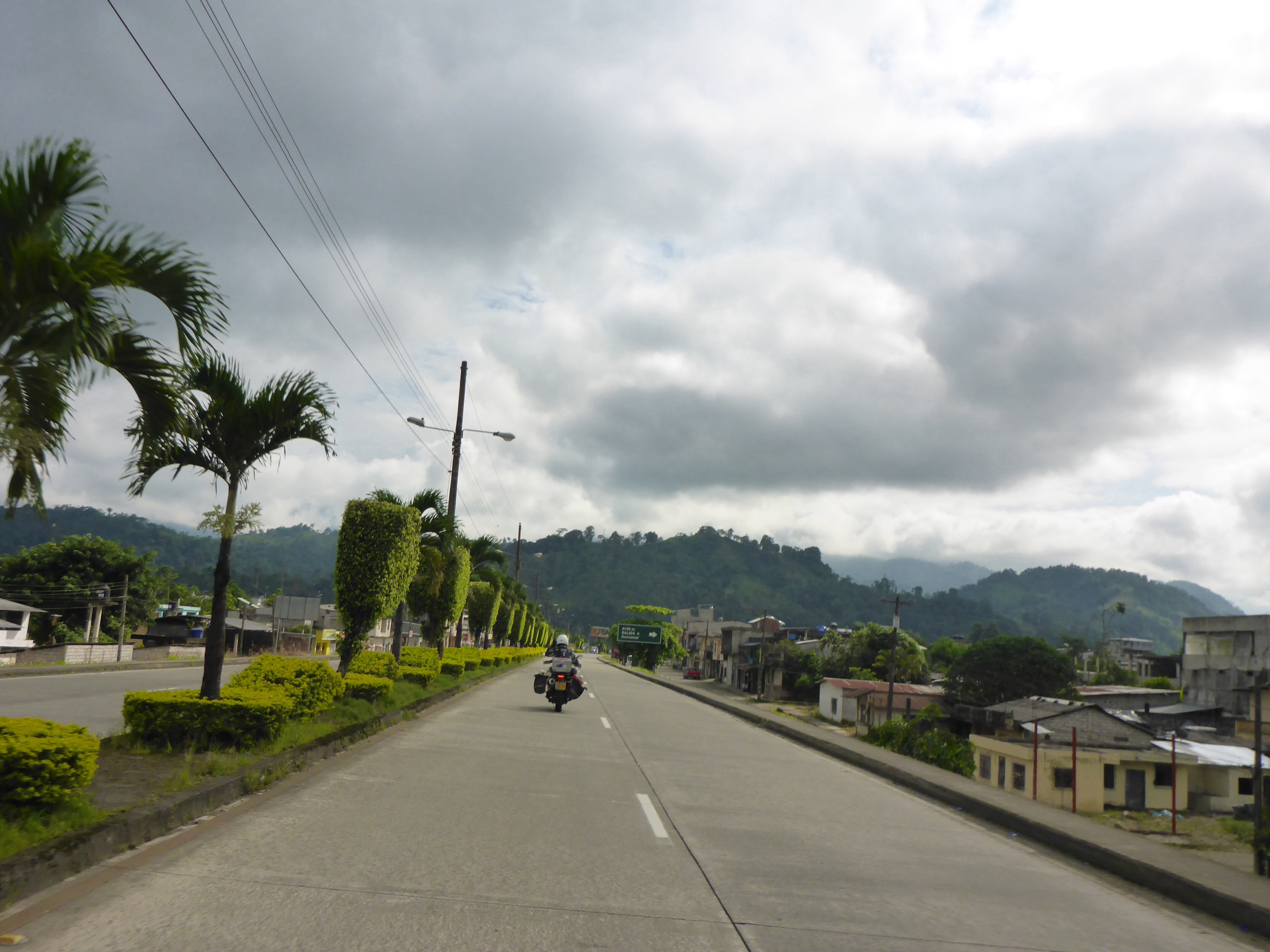
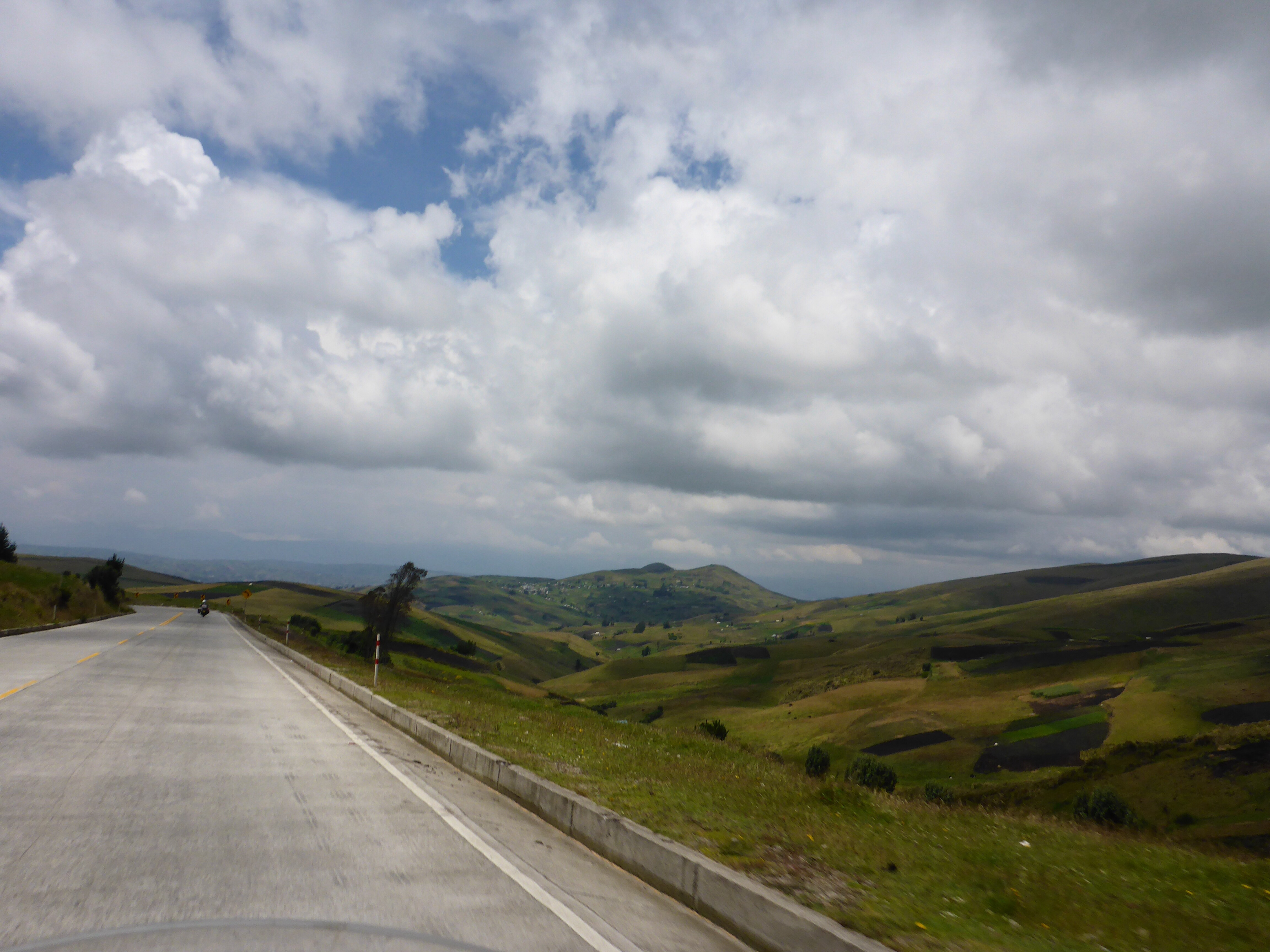
An easy departure being Sunday morning, we quickly cover the first 100 km which are flat, with field after field filled with trees and plants, farm stalls line the highway with tables groaning under the weight of healthy looking produce.
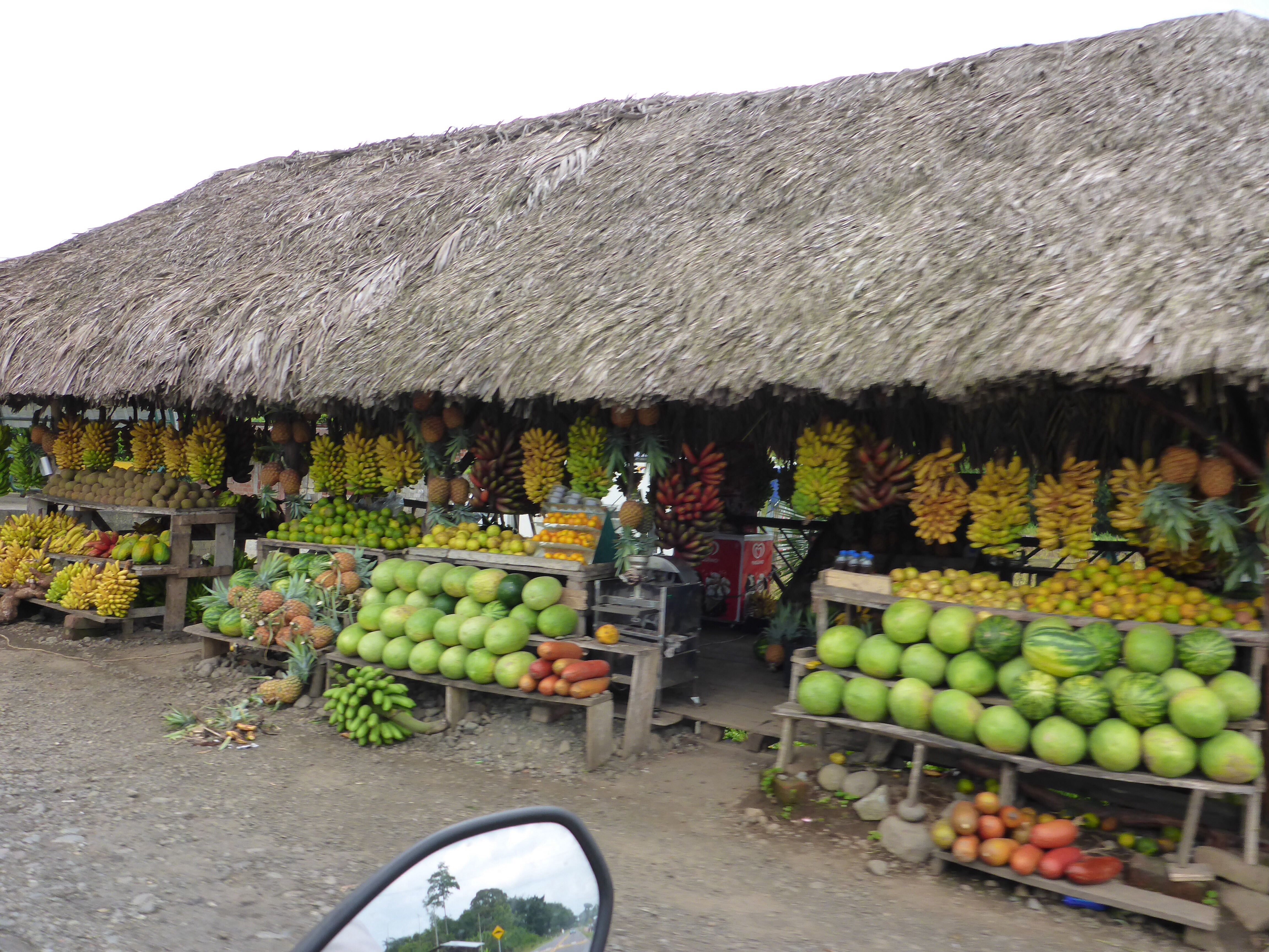
A huge variety of fresh local produce for sale
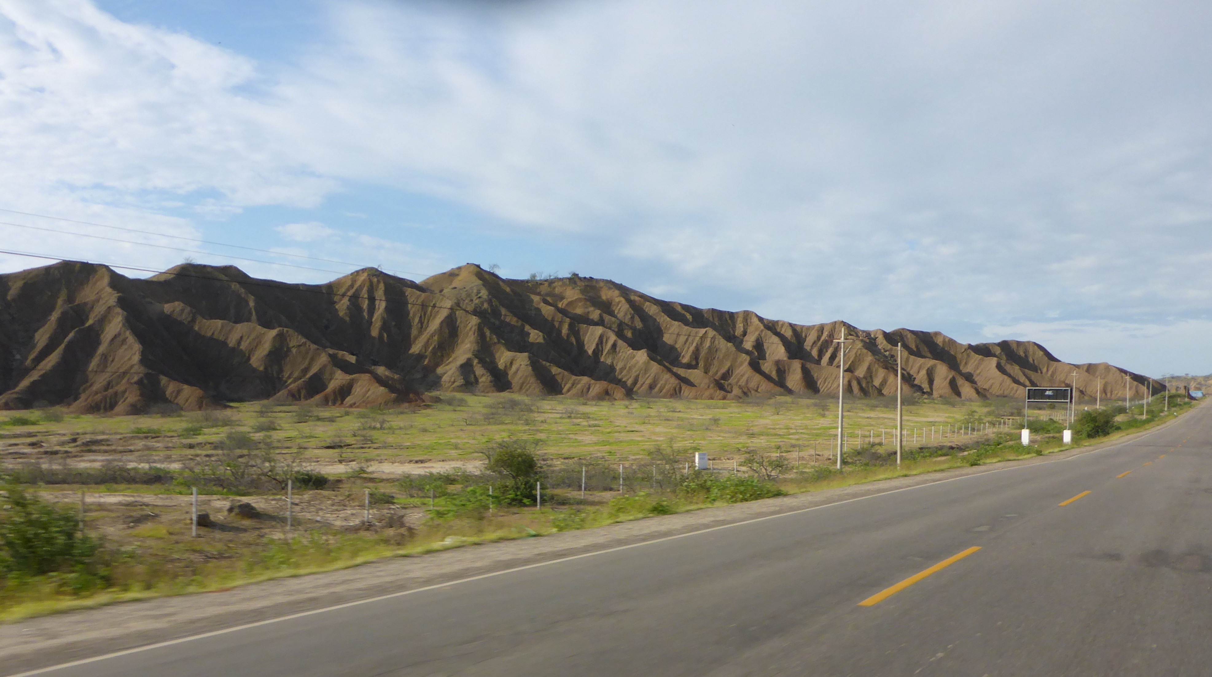
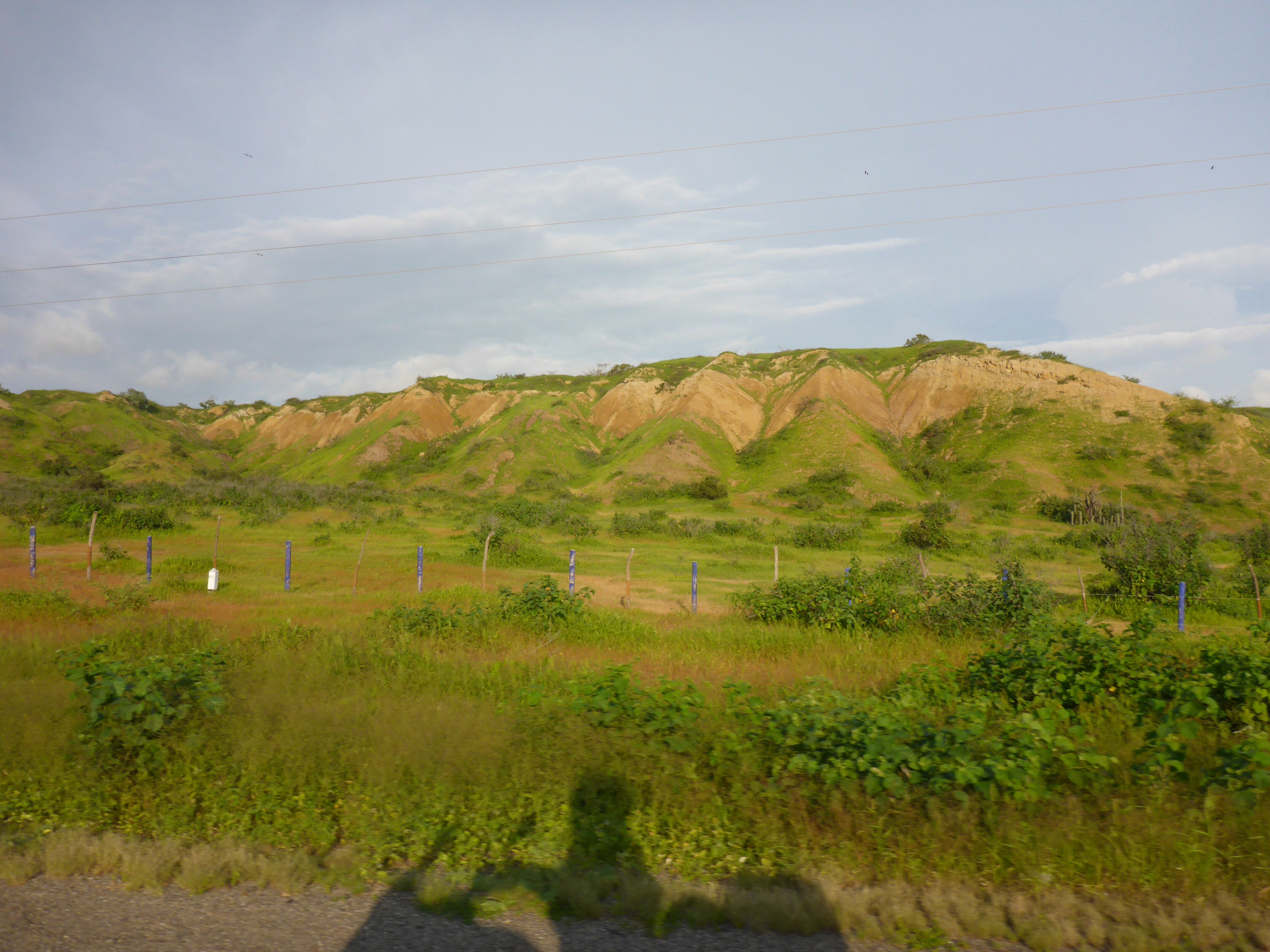
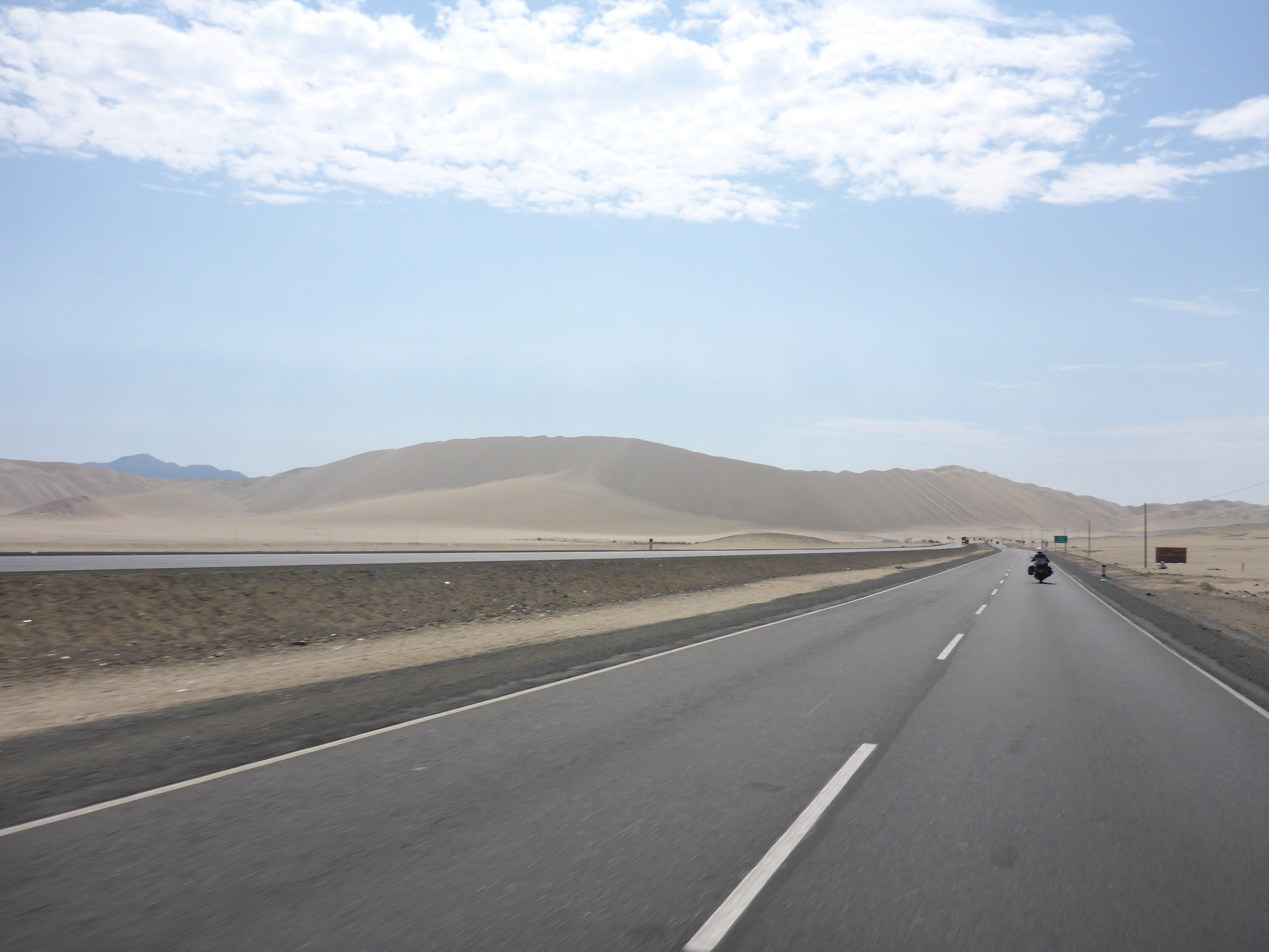
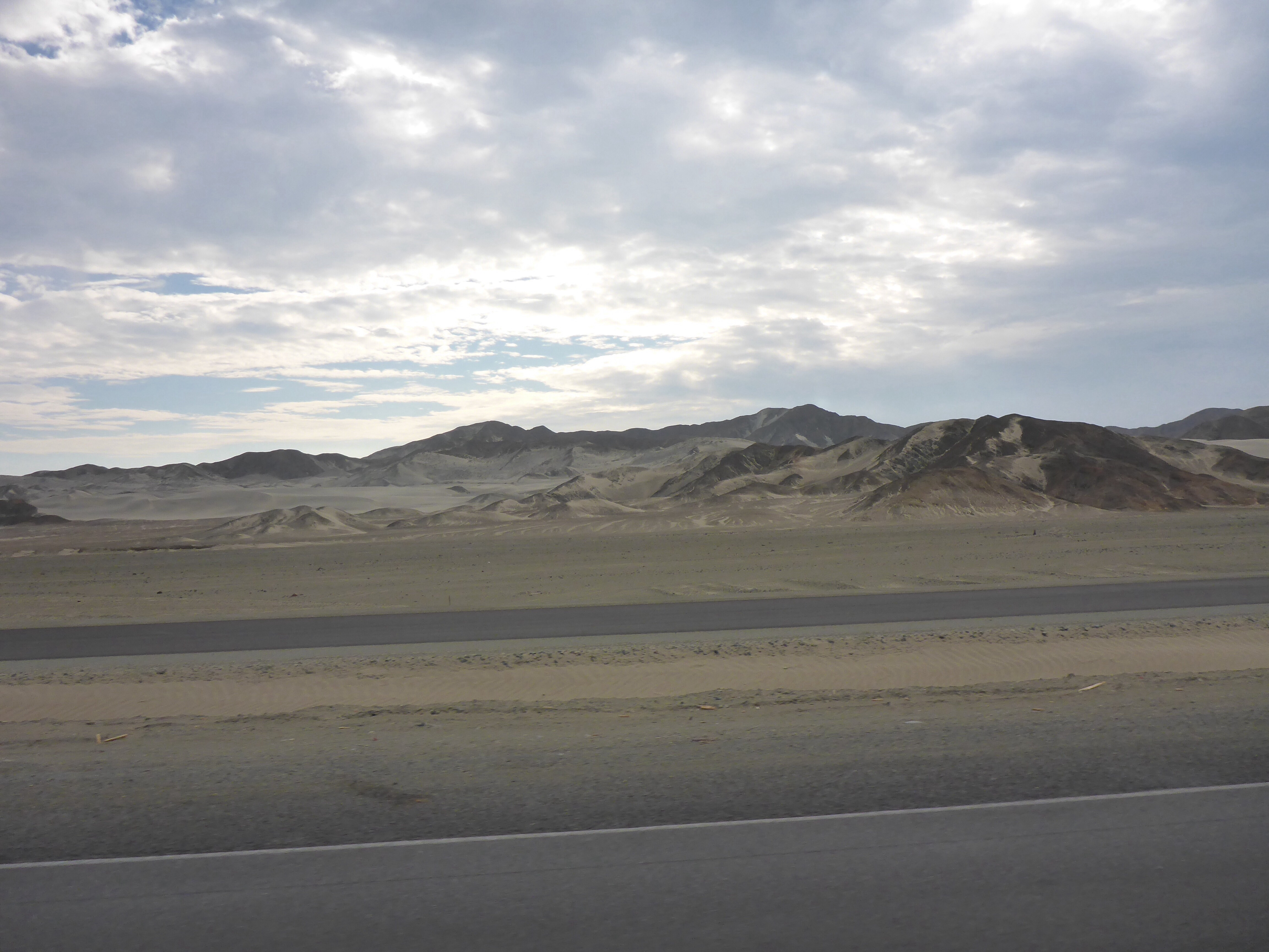
After weeks of desert brown and grey hues, the change is both a pleasant one and confirms in our minds that we like the variety of colours, but prefer green over brown and grey.

Pallatanga, Ecuador

On the way up to 3,800 metres.
And now down from 3800m, Colta region, Ecuador
Outside Riobamba, Ecuador
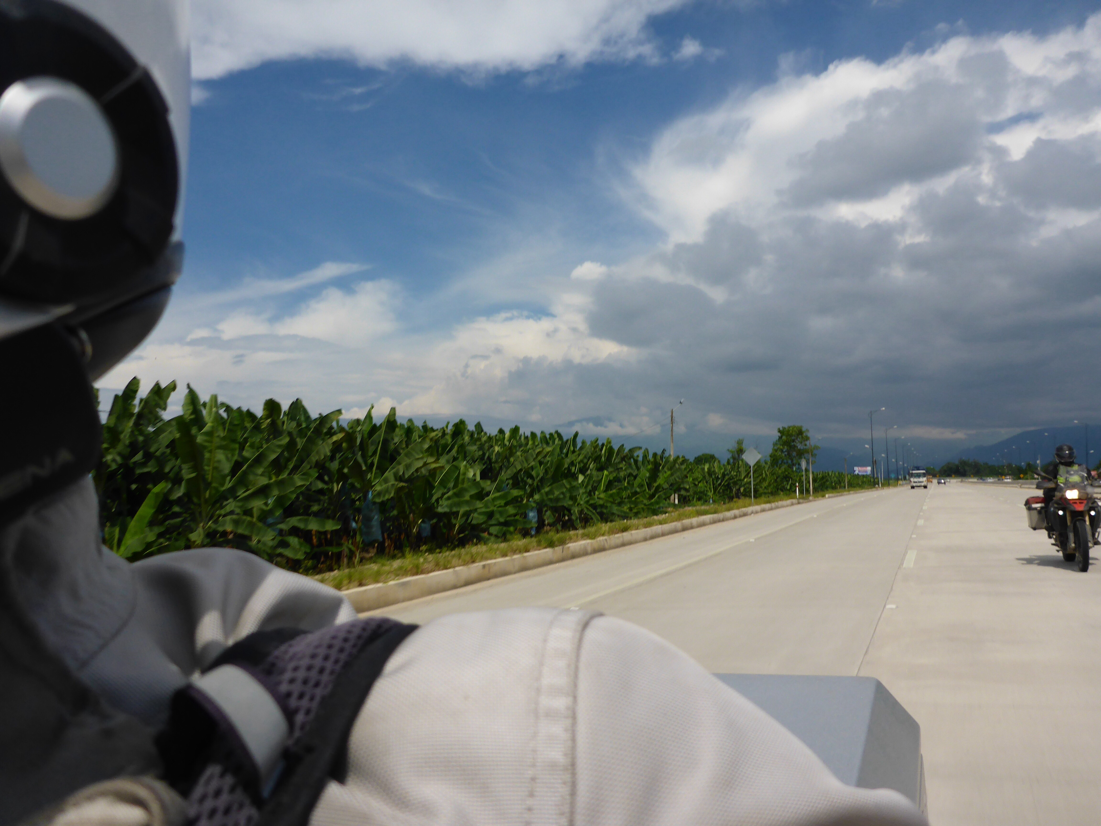
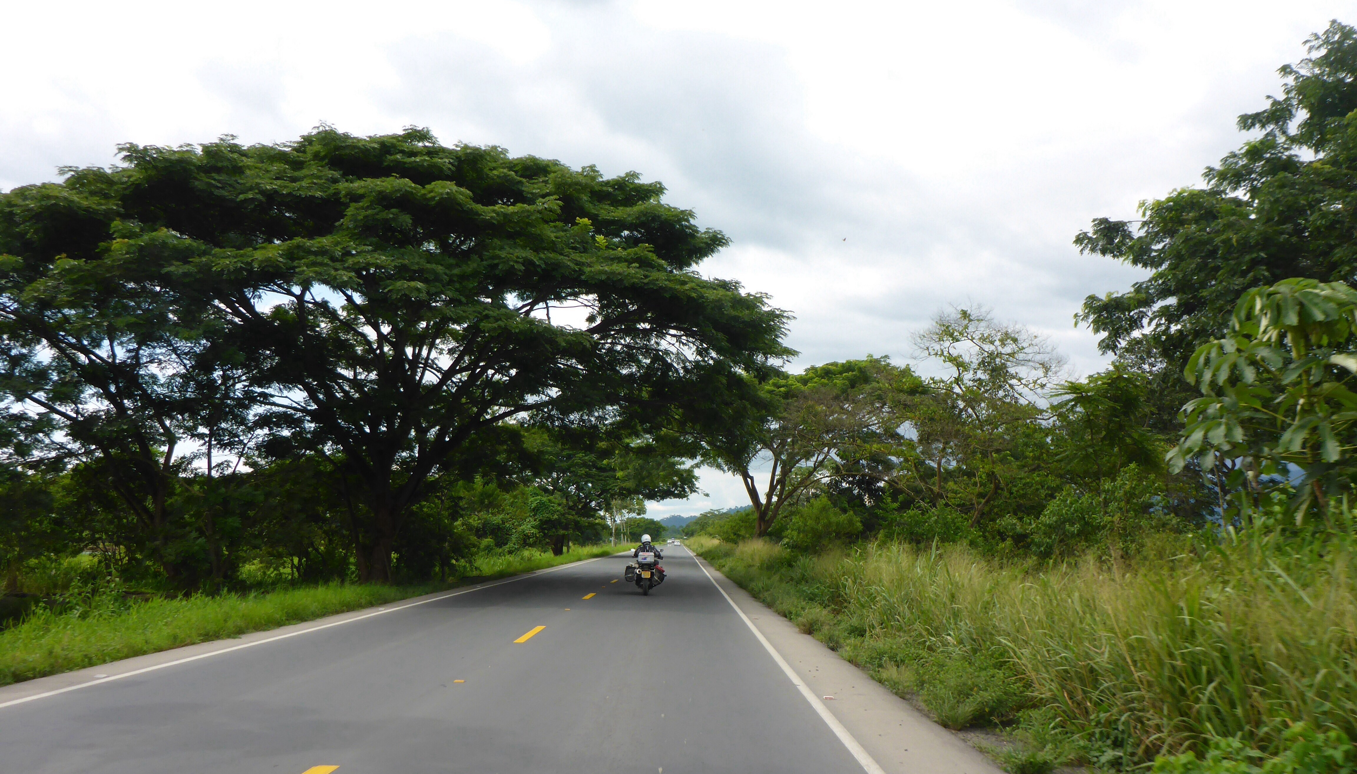
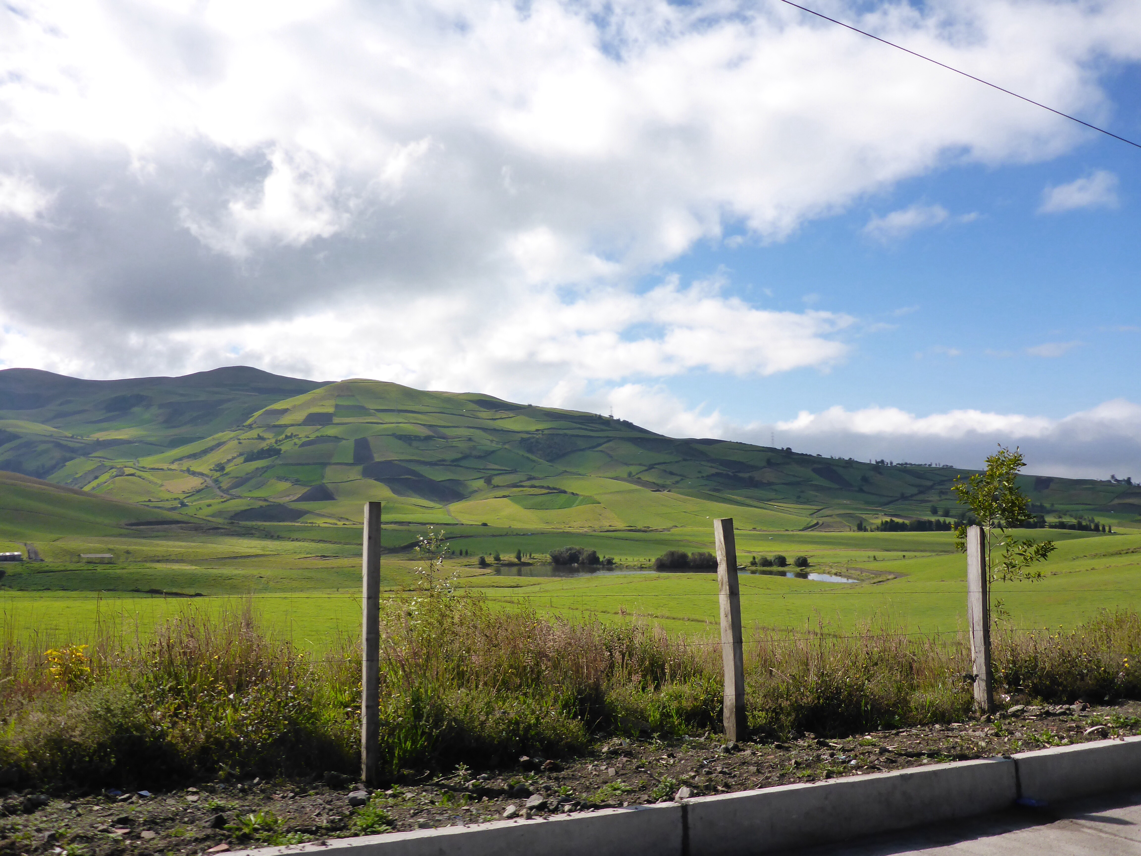
We start to climb and climb up through a verdant green landscape, higher and higher ’til we enter the rainclouds at over 3,800 metres. We come out the other side to a landscape of fields carpeting the hillsides regardless of the slope, at altitudes we would normally expect to see scrub and grass covering only. We guess that being so close to the equator creates this environment. This also allows extensive human habitation which we see all the way to Quito.
As this is the end of the rainy season, those pictures of clear blue skies framing white capped volcanic peaks are not available to us, but luckily we are able to see Chimborazo, at 6,268 metres (20,564 ft), Chimborazo is the highest mountain in Ecuador as we depart Riobamba for Quito.
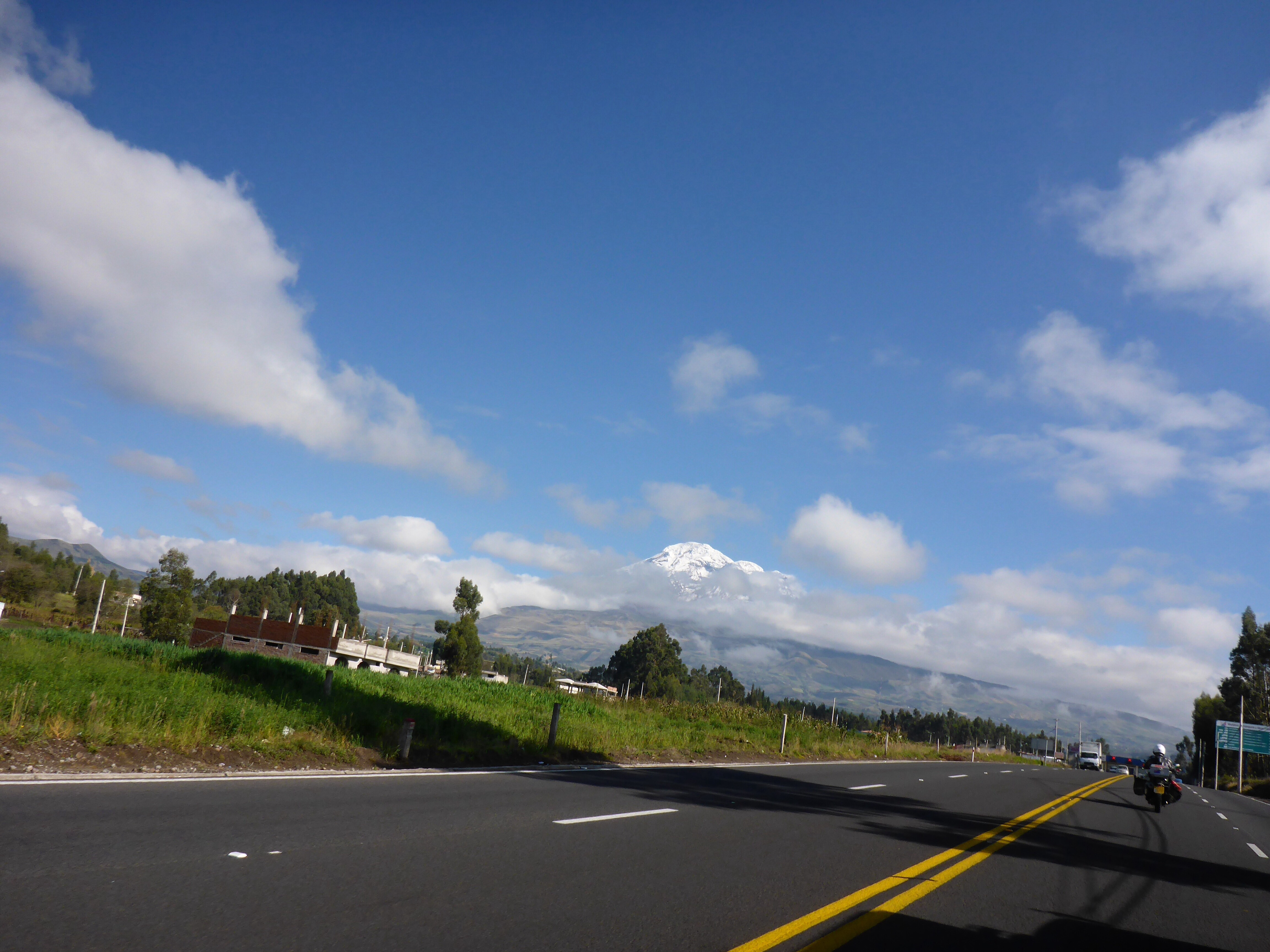
Our lucky glimpse of Chimboraza
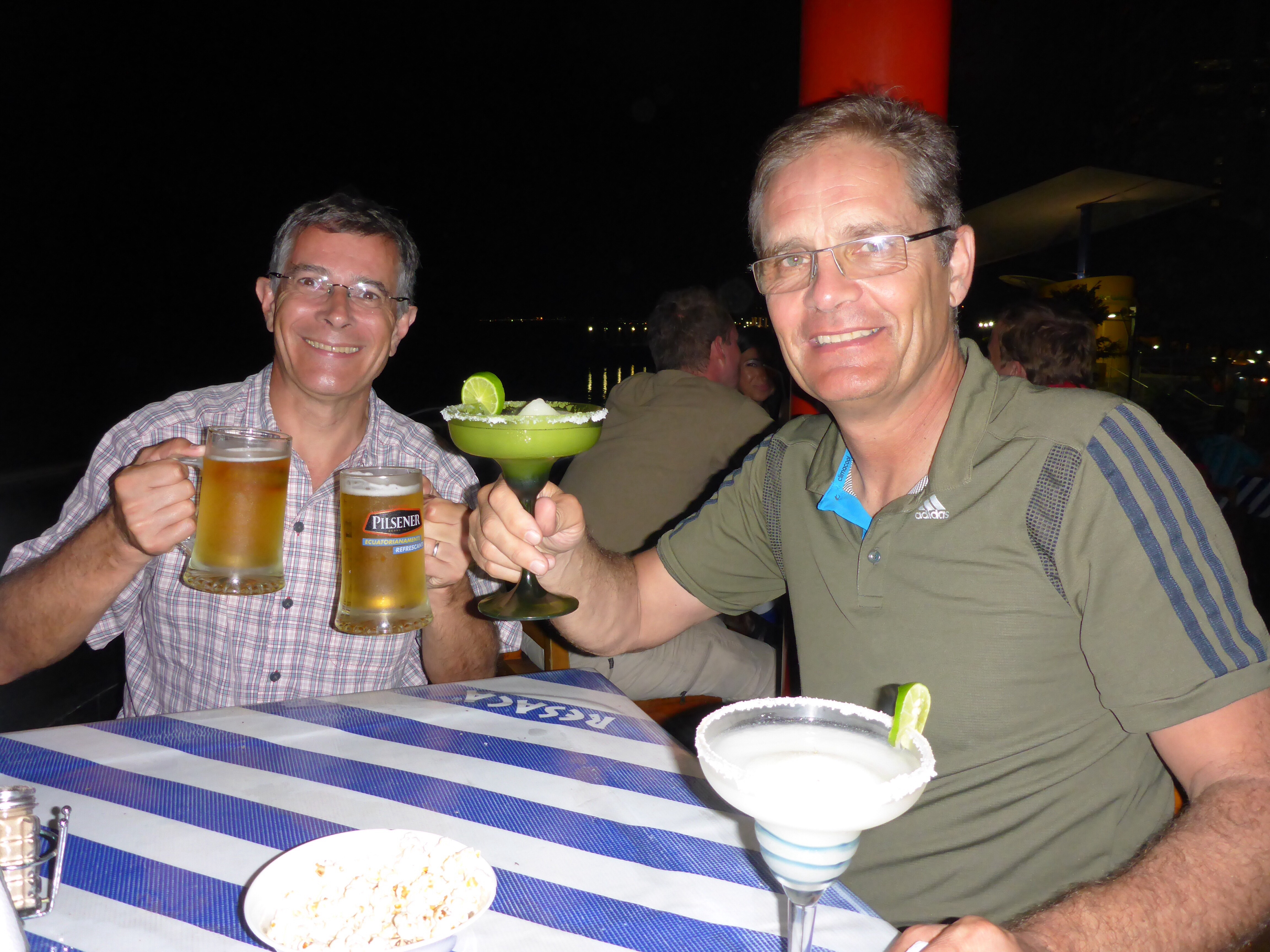
We have been invited by a Dutch couple, Jos and Karen, whom we met at our B&B in Chiclayo and again at the Peru-Ecuador border, to stay with them in Quito.

New friends Karen and Jos in Quito
They have been living in Columbia and Ecuador for over 25 years running their own flower consulting business. We had not realised that exporting flowers from this region was such a huge business, but on reflection, it explains the large number of greenhouses we saw along the road on the way to Quito. It is always fascinating to me to hear details of an industry that I know little or nothing about and the challenges and opportunities that industry has.
Jos and Karen were wonderful hosts, especially considering they had been travelling in Peru and Chile for 8 weeks and only just arrived home. They even went to the trouble of cooking a “lomo al trappo” in which the meat is covered in salt, wrapped in a wet cloth and placed on top of the roaring fire that Jos had created, which both cooked the meat and warmed us as we ate outside. Wonderful.

Preparing the fire
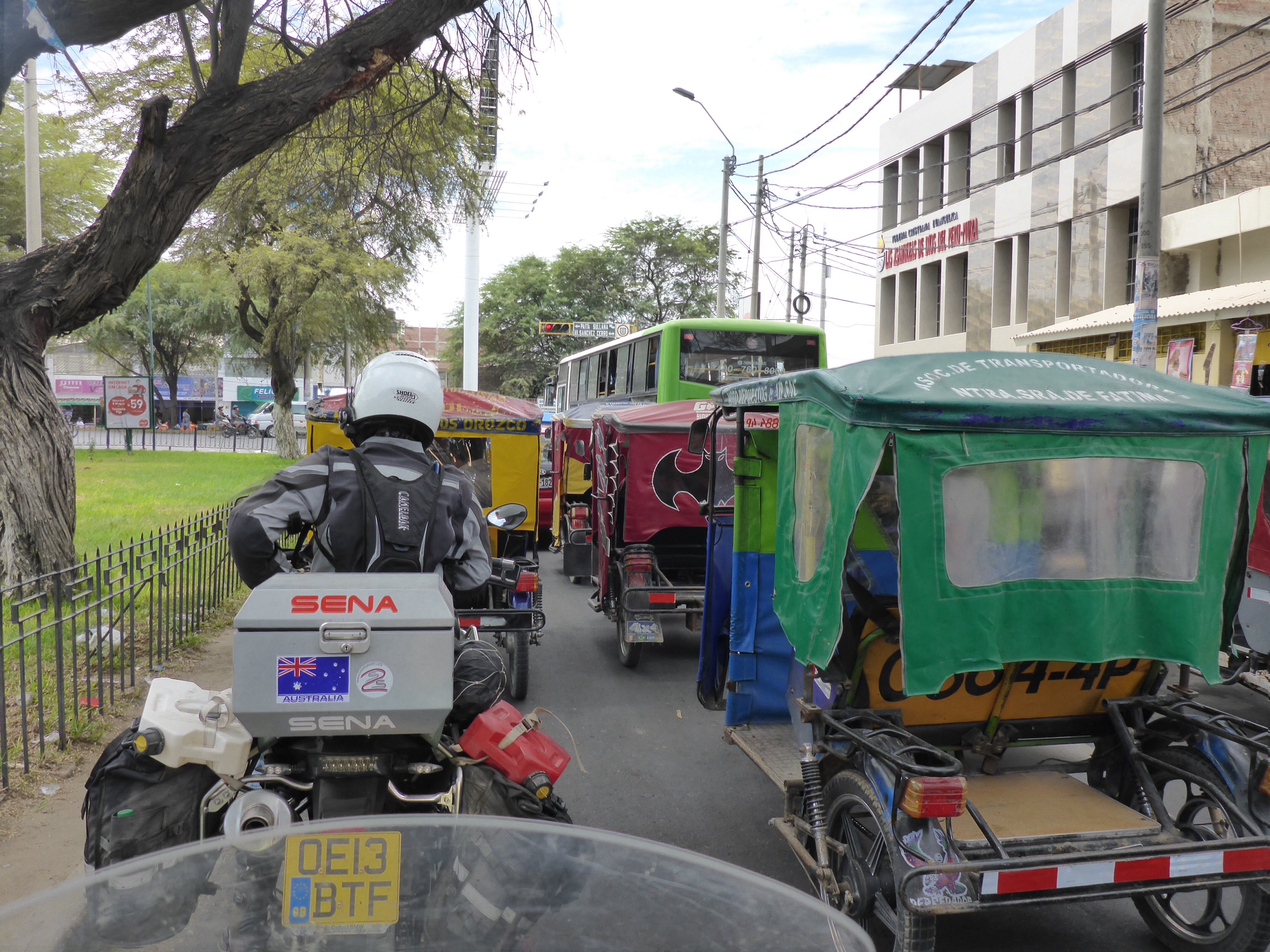
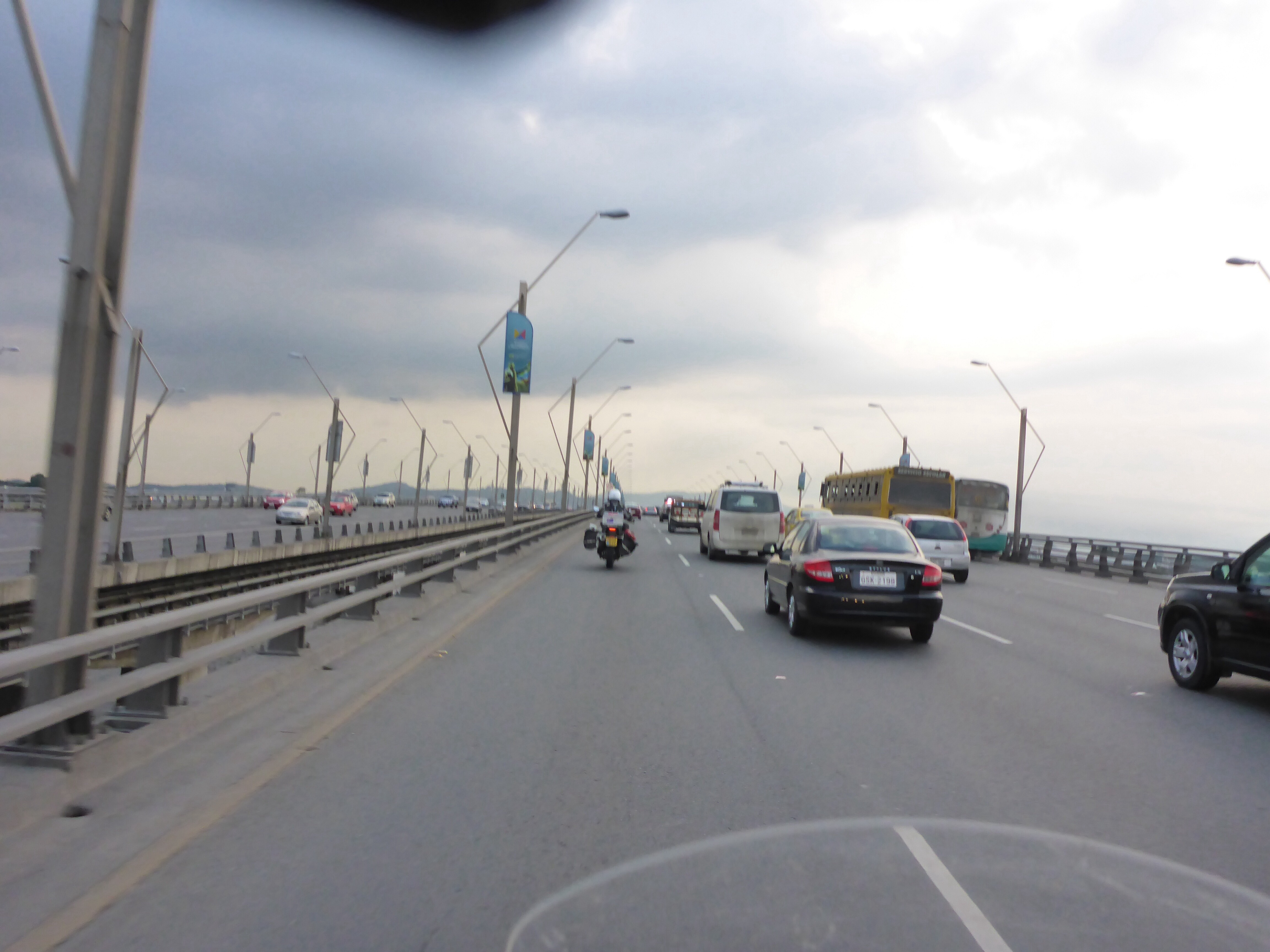
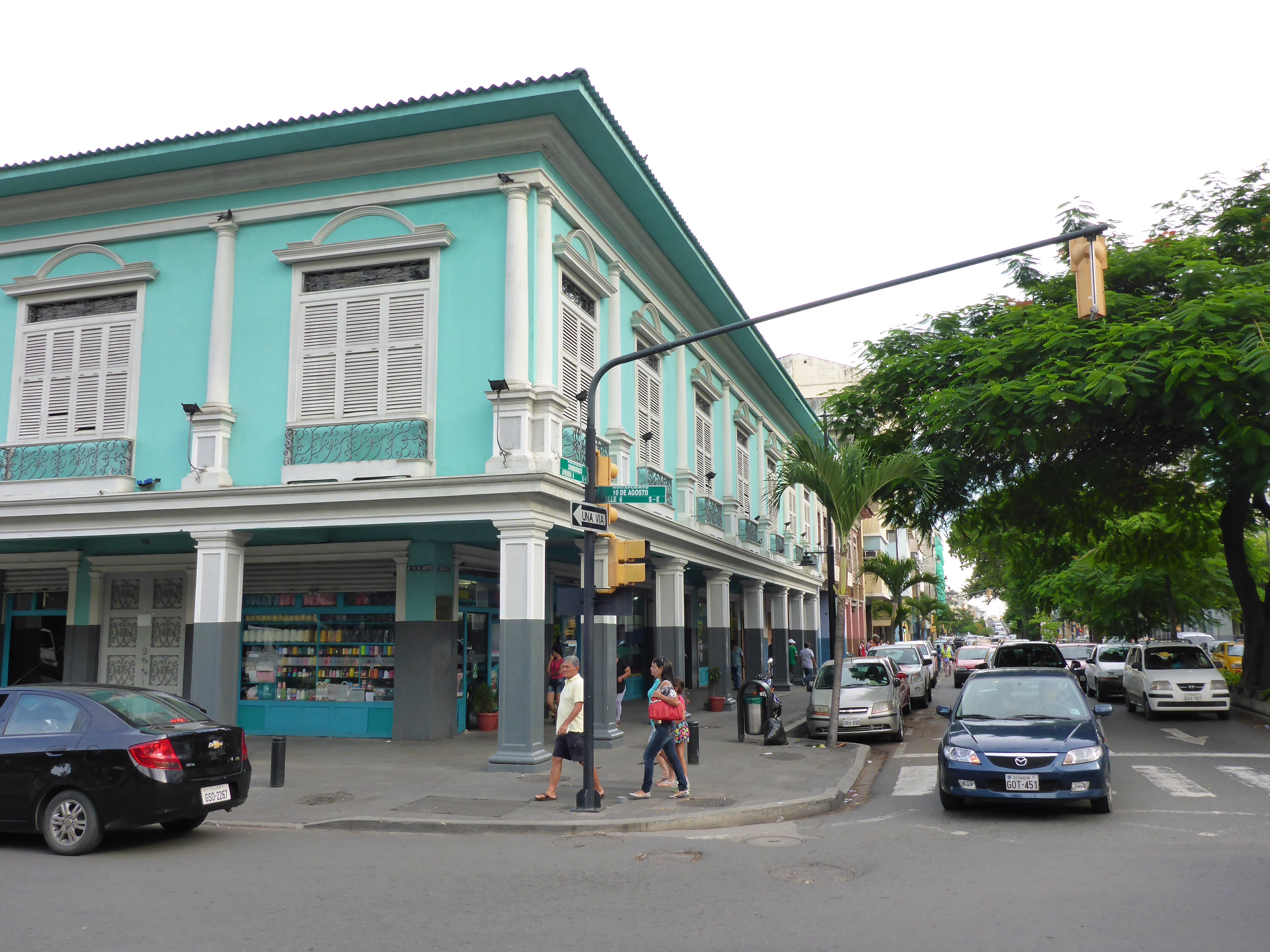
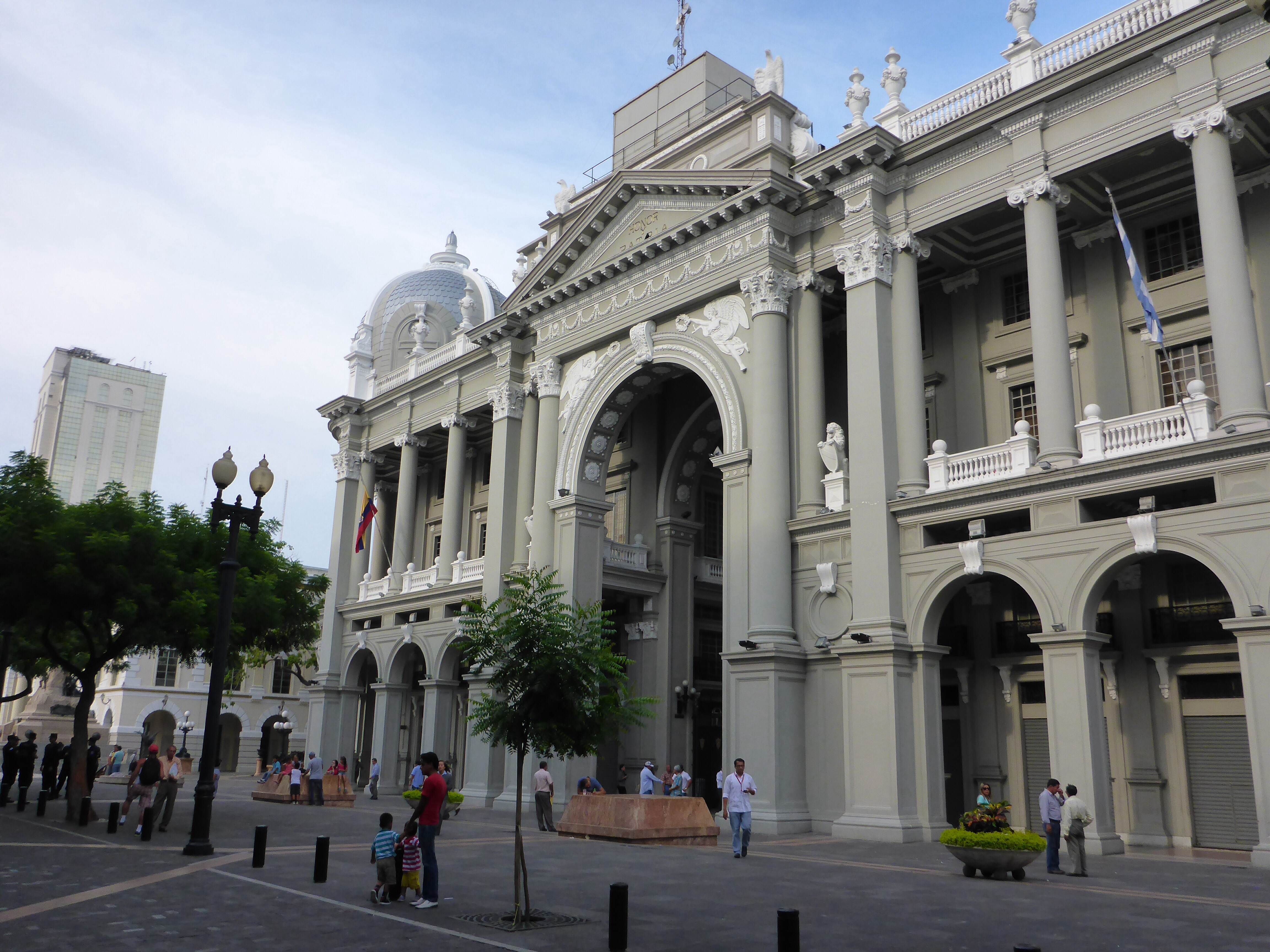
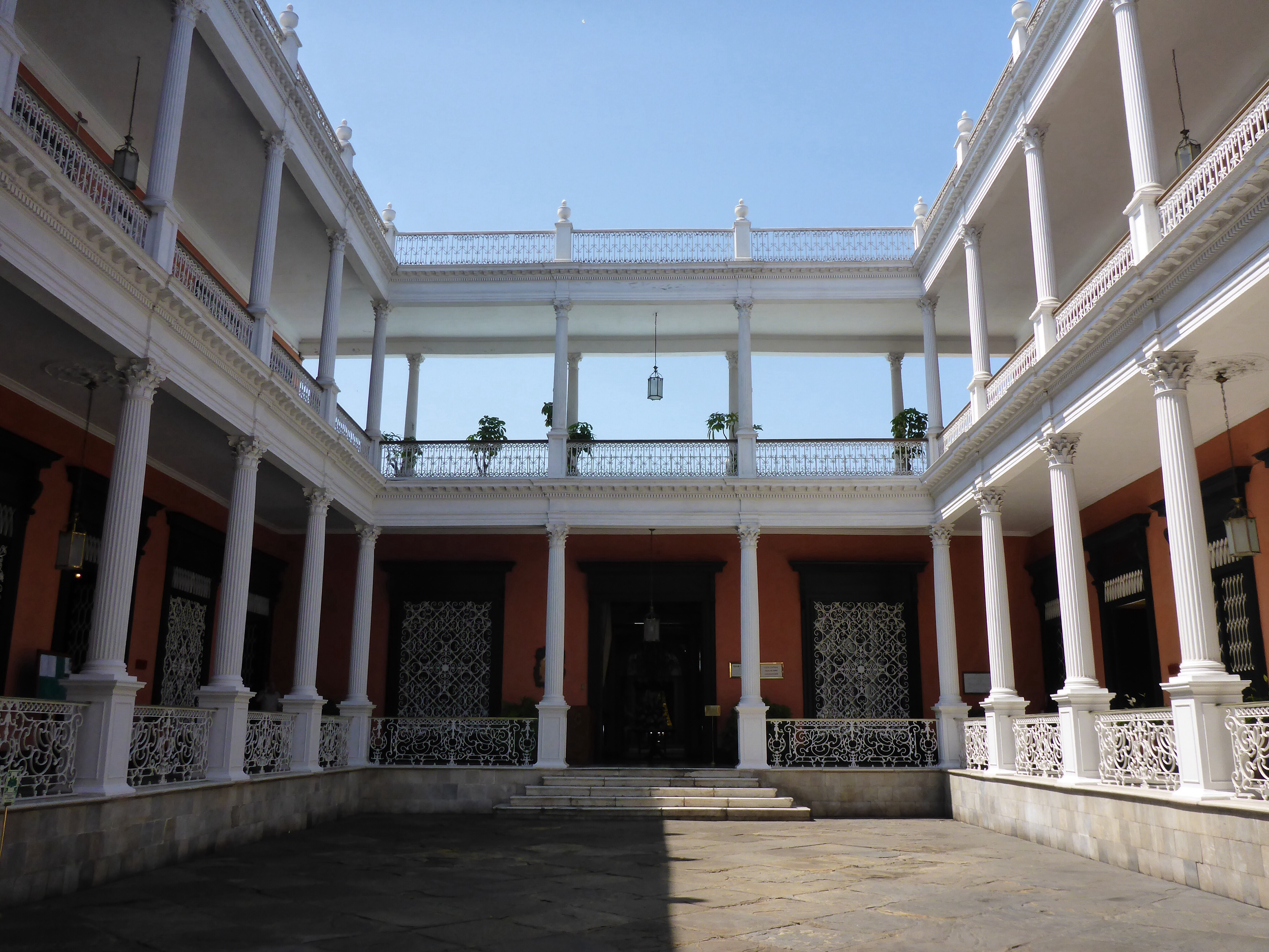
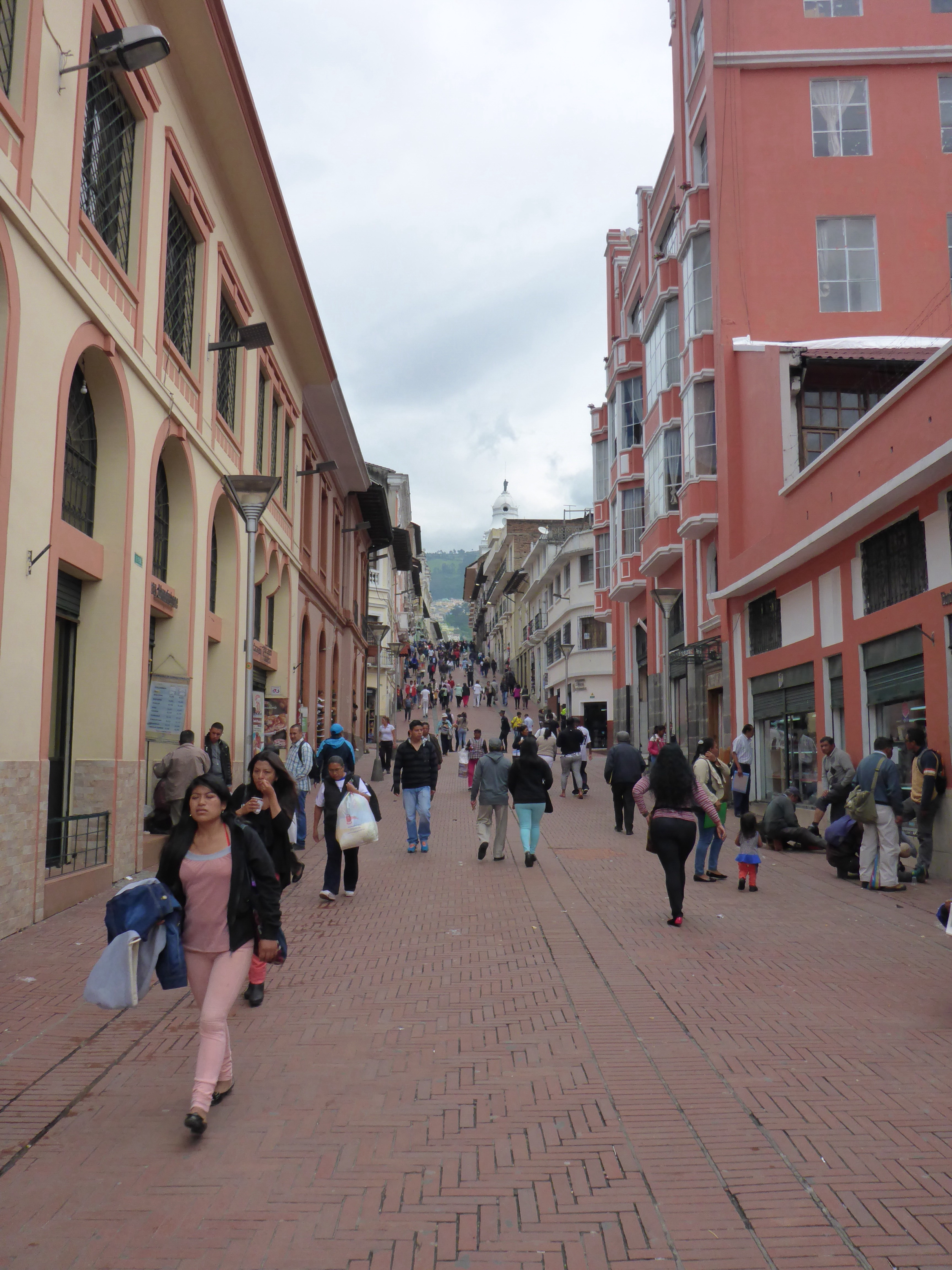
We spent a day in Quito, which like may of the cities we have visited in South America, has retained the old buildings and churches in the centre of town. The city’s geography makes for some interesting roads and the journey to town by bus and back by taxi allowed us to enjoy the views, unlike when we are riding and our focus is on the road and traffic! The steepness of the streets and the altitude make for slow and steady walking around town.
Quito, Ecuador
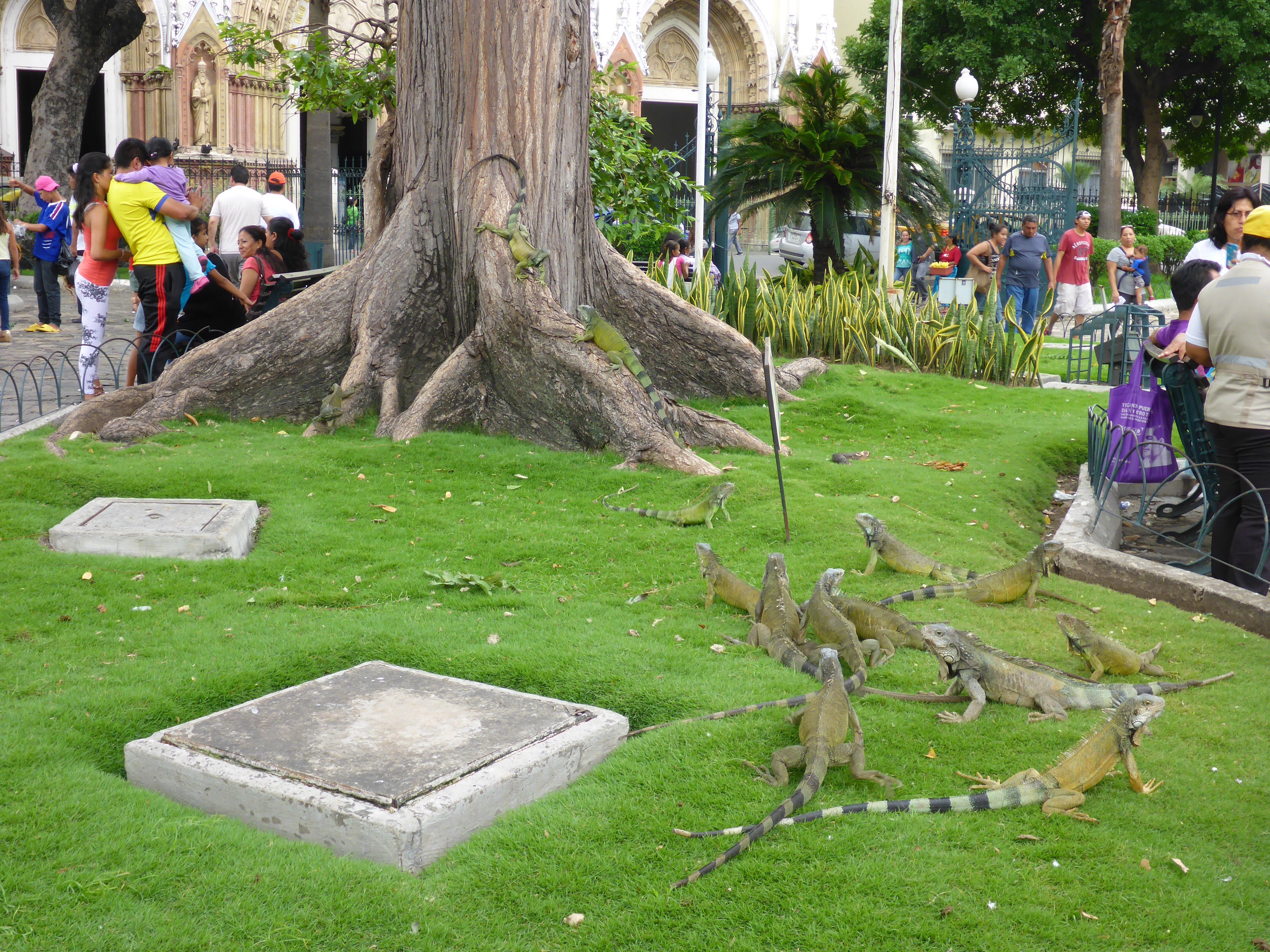
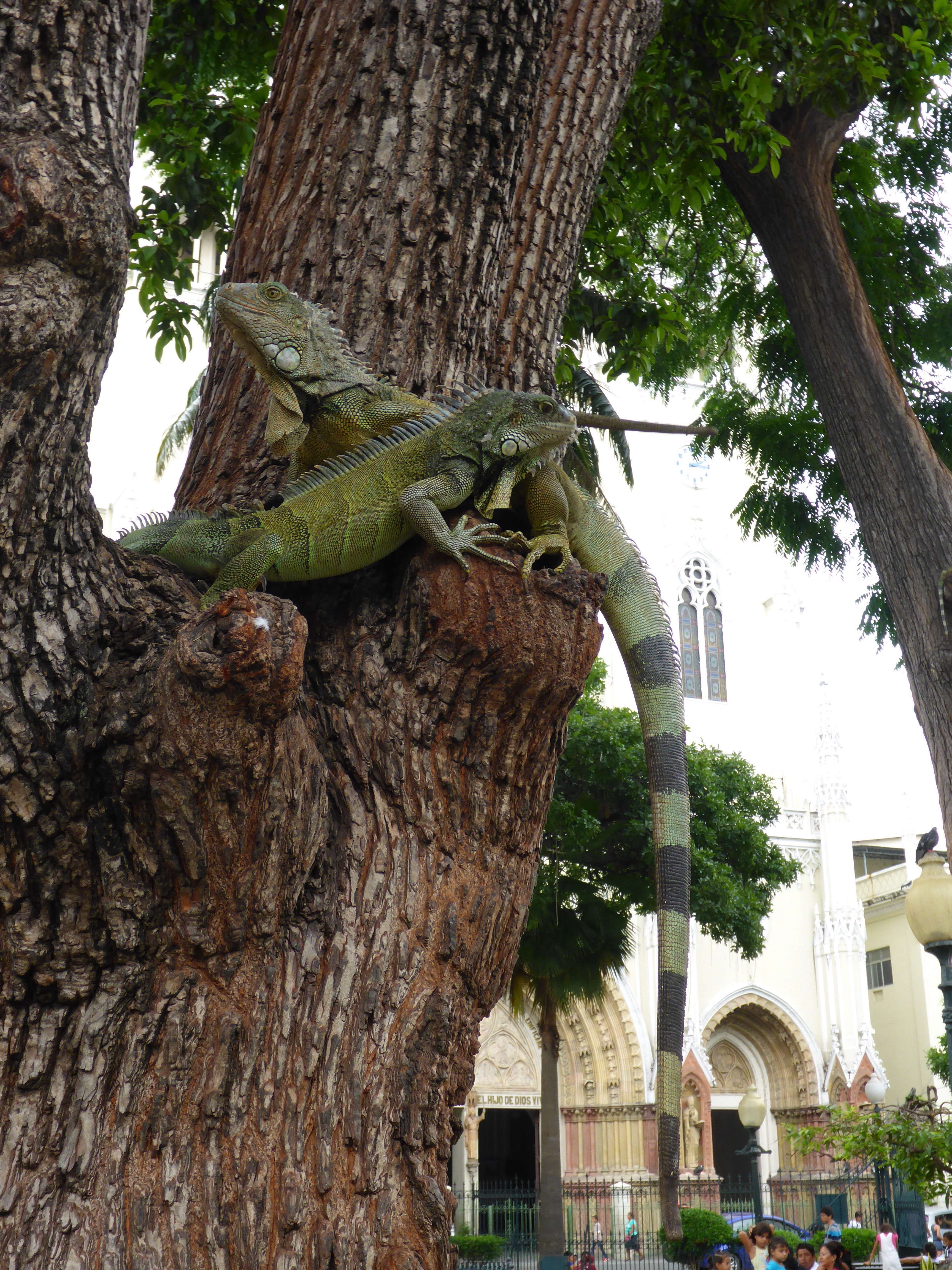
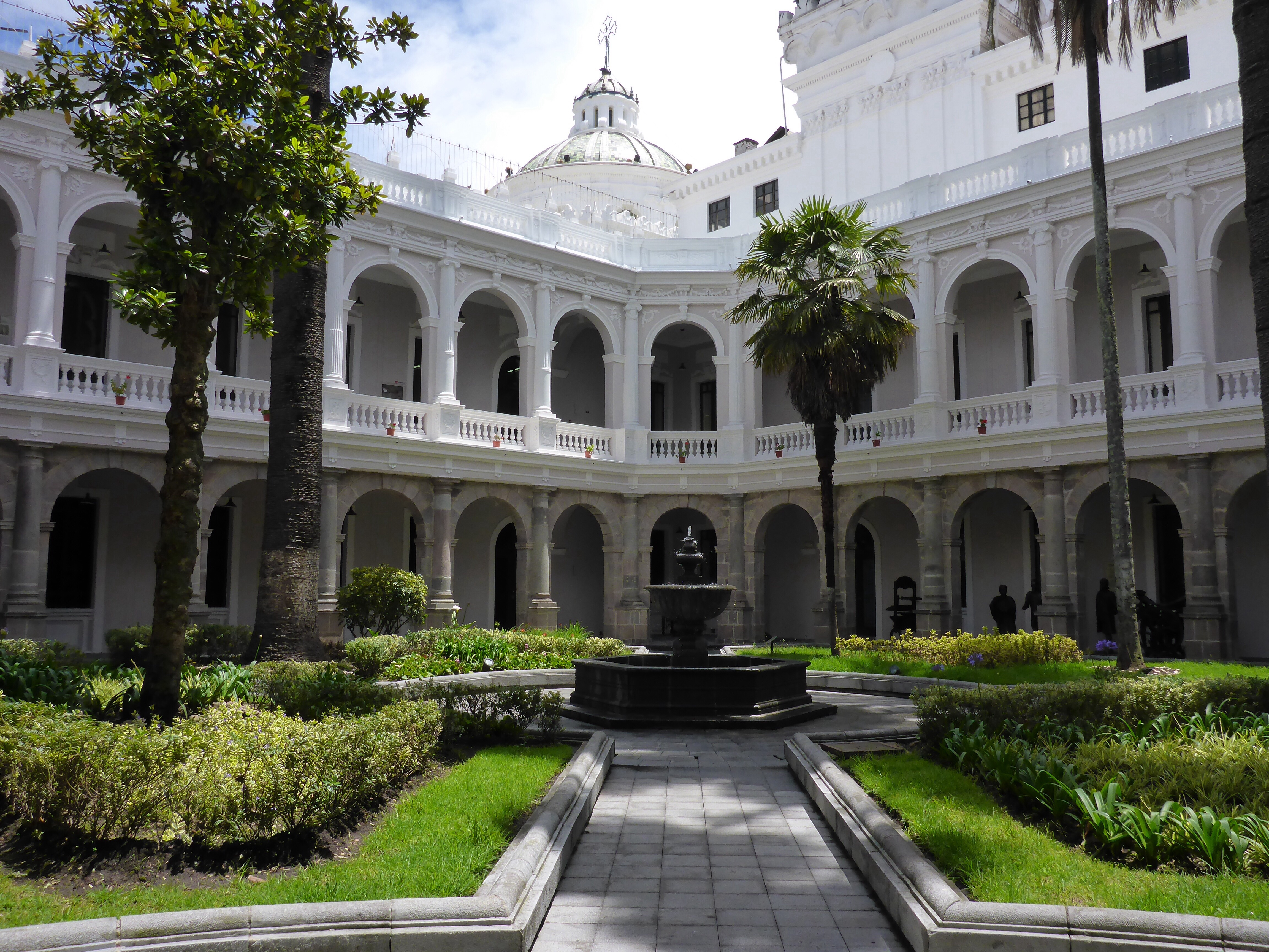
The Catedral Metropolitana Quito has been turned into a museum after the construction of the Basílica Del Sagrado Voto Nacional. What makes this very interesting is the access to the attached administration area of the cathedral. Normally in a functioning cathedral these areas would be occupied and off limits to visitors. We found quite a rabbit warren of interconnecting passages and rooms.
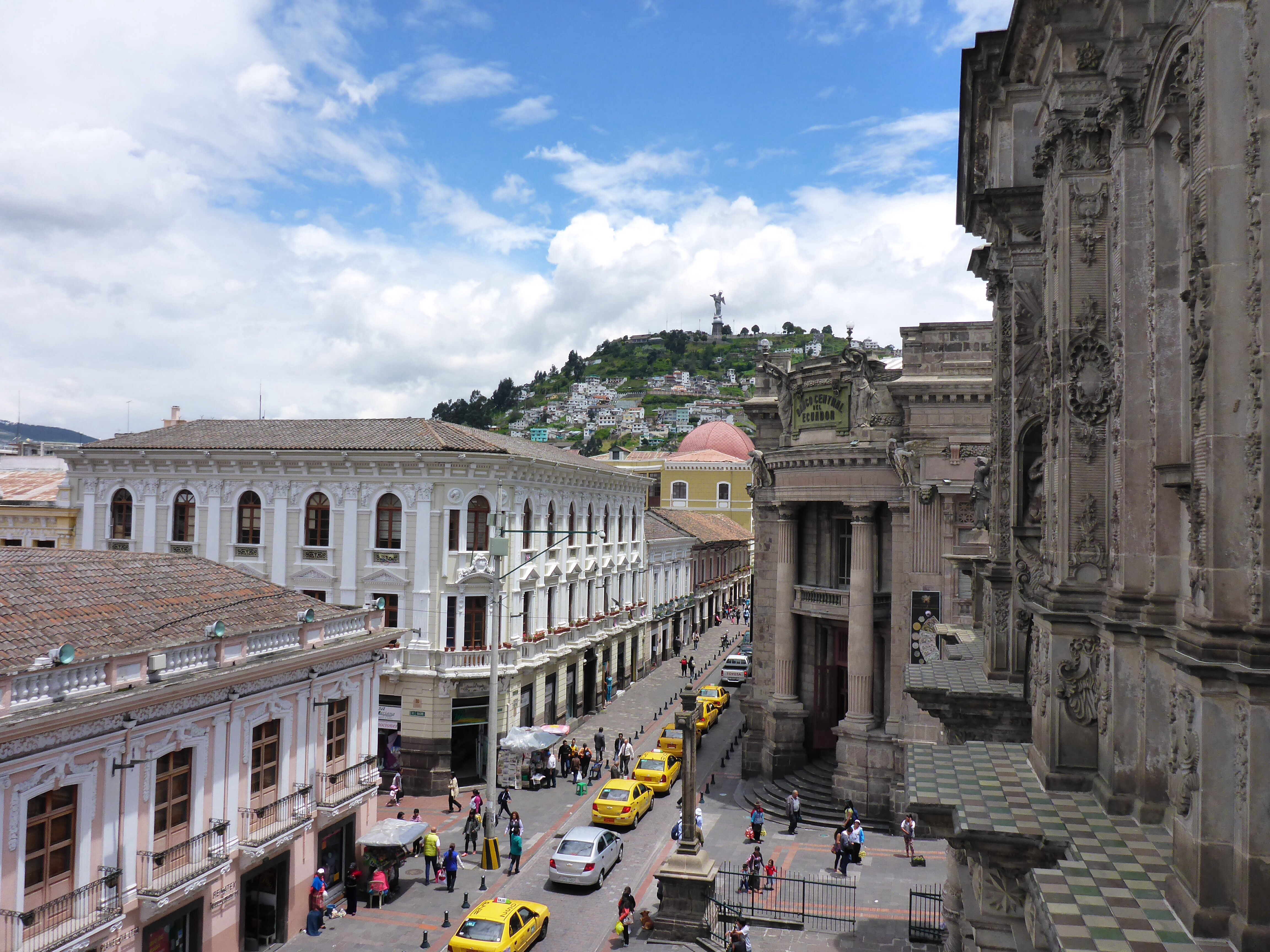
A rooftop view of Quito
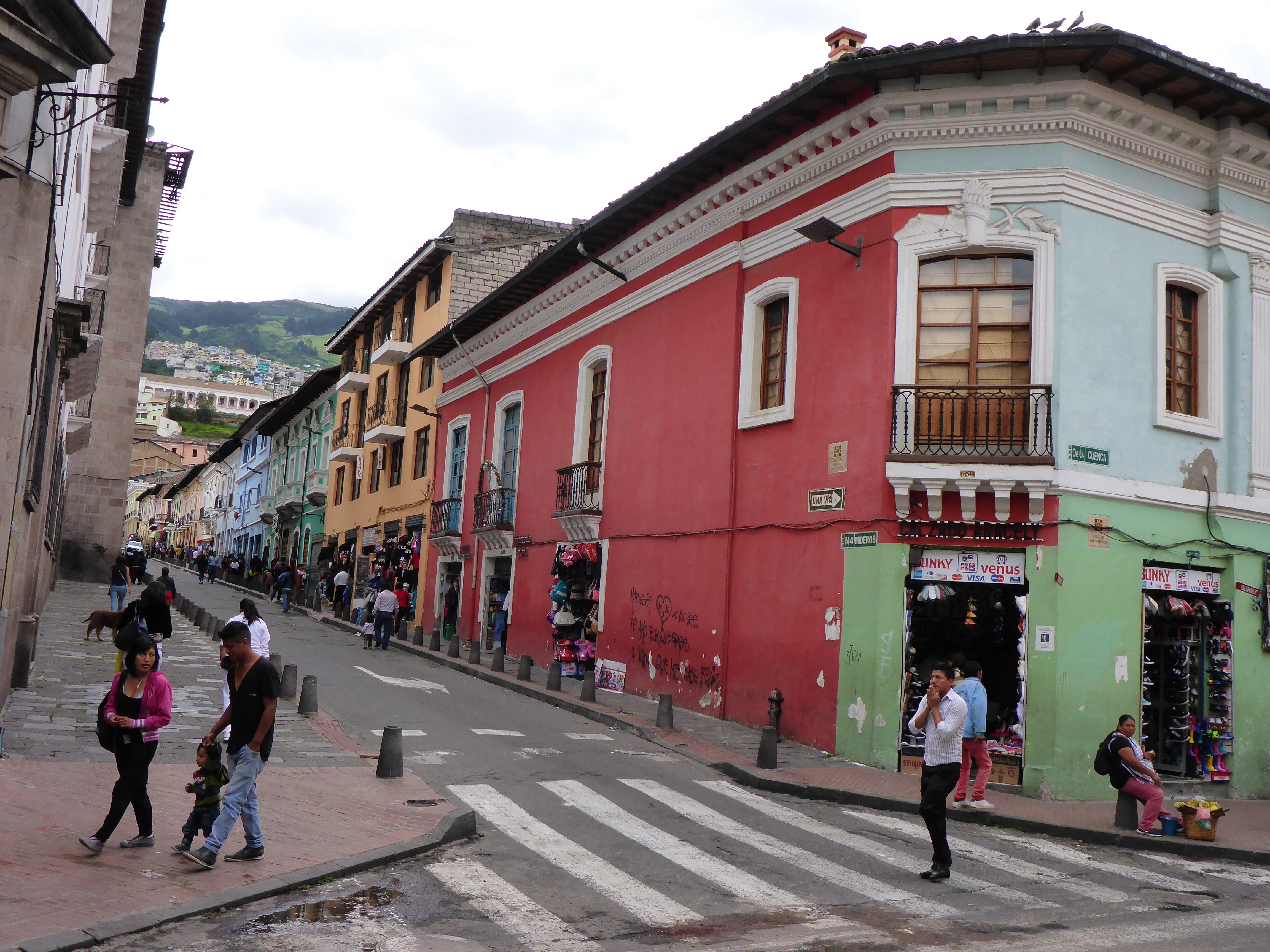
Colourful buildings ansd steep streets in Quito, Ecuador
In the Centro Cultural Metropolitano off the Plaza de la Independencia we found an amazing exhibition of art from artists across the Americas, media included ceramics, metalware, cabinet making, pottery material and basket weaving Anne found herself drawn to works from Mexico, which means we will be looking out for the artists’ works when we get to Mexico!
Cultural Centre and university library in Quito, Ecuador
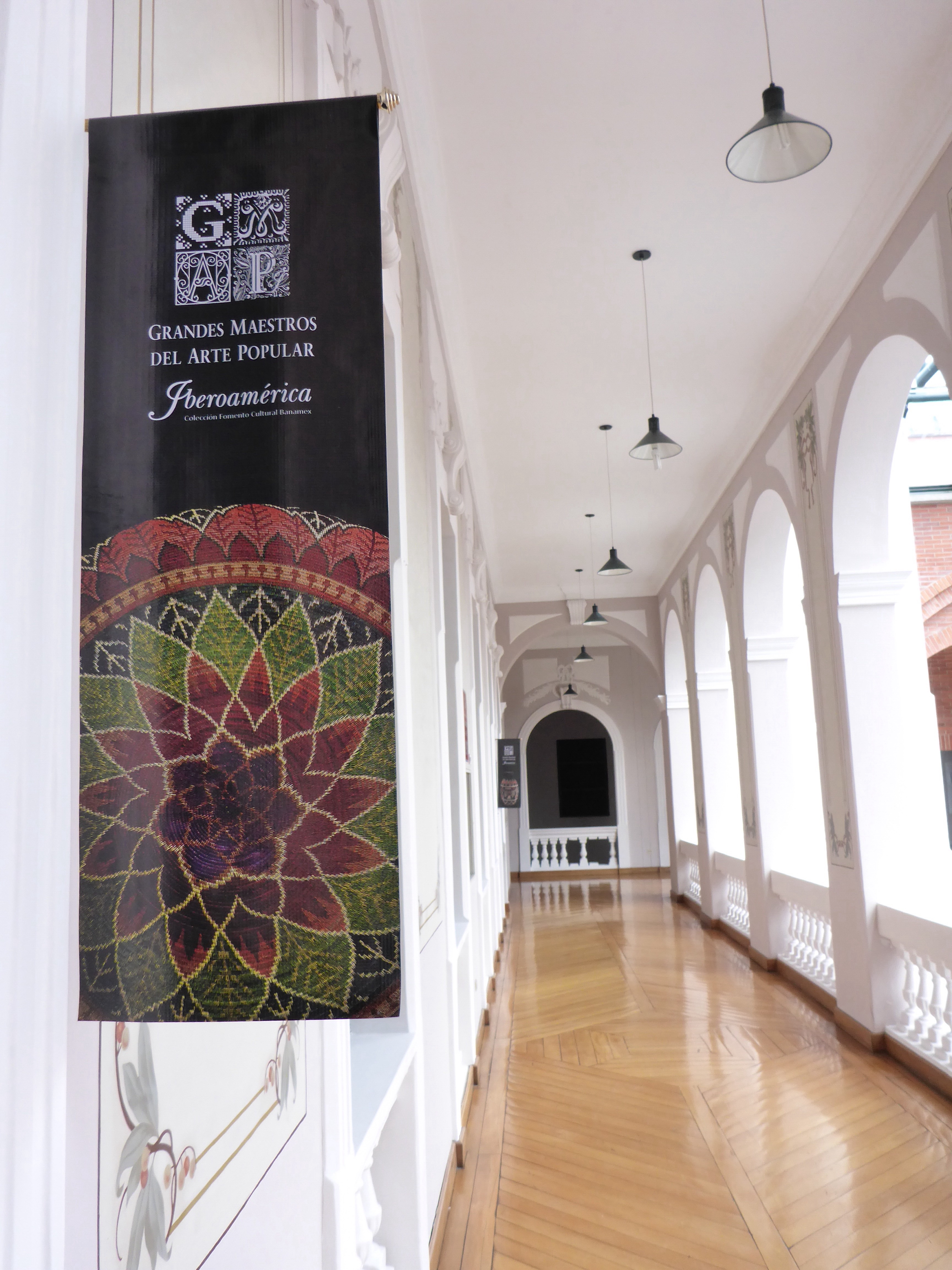
Metropolitan Cultural Centre Exhibiton, Quito, Ecuador
We were sad to leave our new friends, but we know we will meet again sometime, hopefully in Australia where we can return the hospitality.
As we have travelled, we have been on a constant lookout for sticky backed plastic flags of the countries we have been passing through to apply to our aluminium top boxes. A simple enough task you would say, well too simple for us. We have failed miserably! We can find fridge magnets, which will not stick to aluminium, sew on patches which would deteriorate too quickly, but no reasonably sized plastic stickers. That old fall back of paper stickers does not work as our Iranian flags are slowly disappearing from our top boxes. We can of course order online a set of flags of the world, but they would all be the same and not really be original. That is our fallback position. In the meantime, we’ll keep looking out for them whenever we visit cities.
Anthony