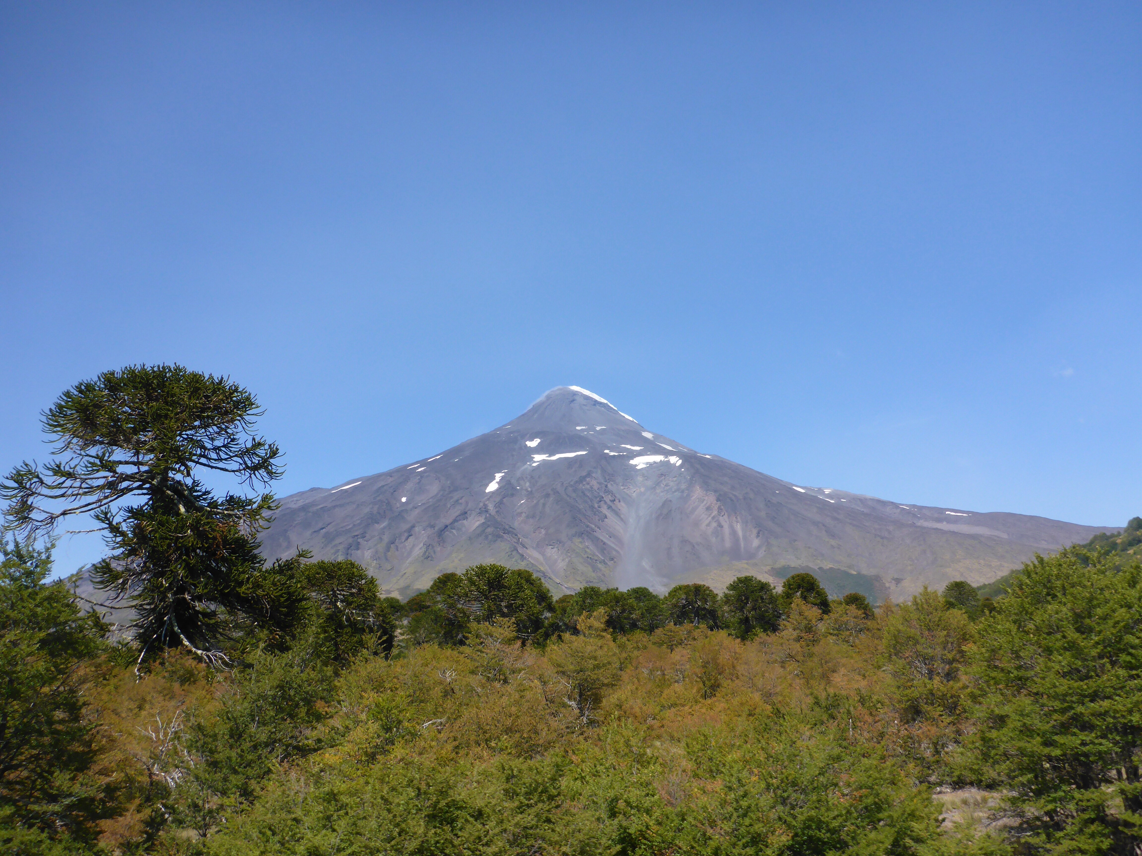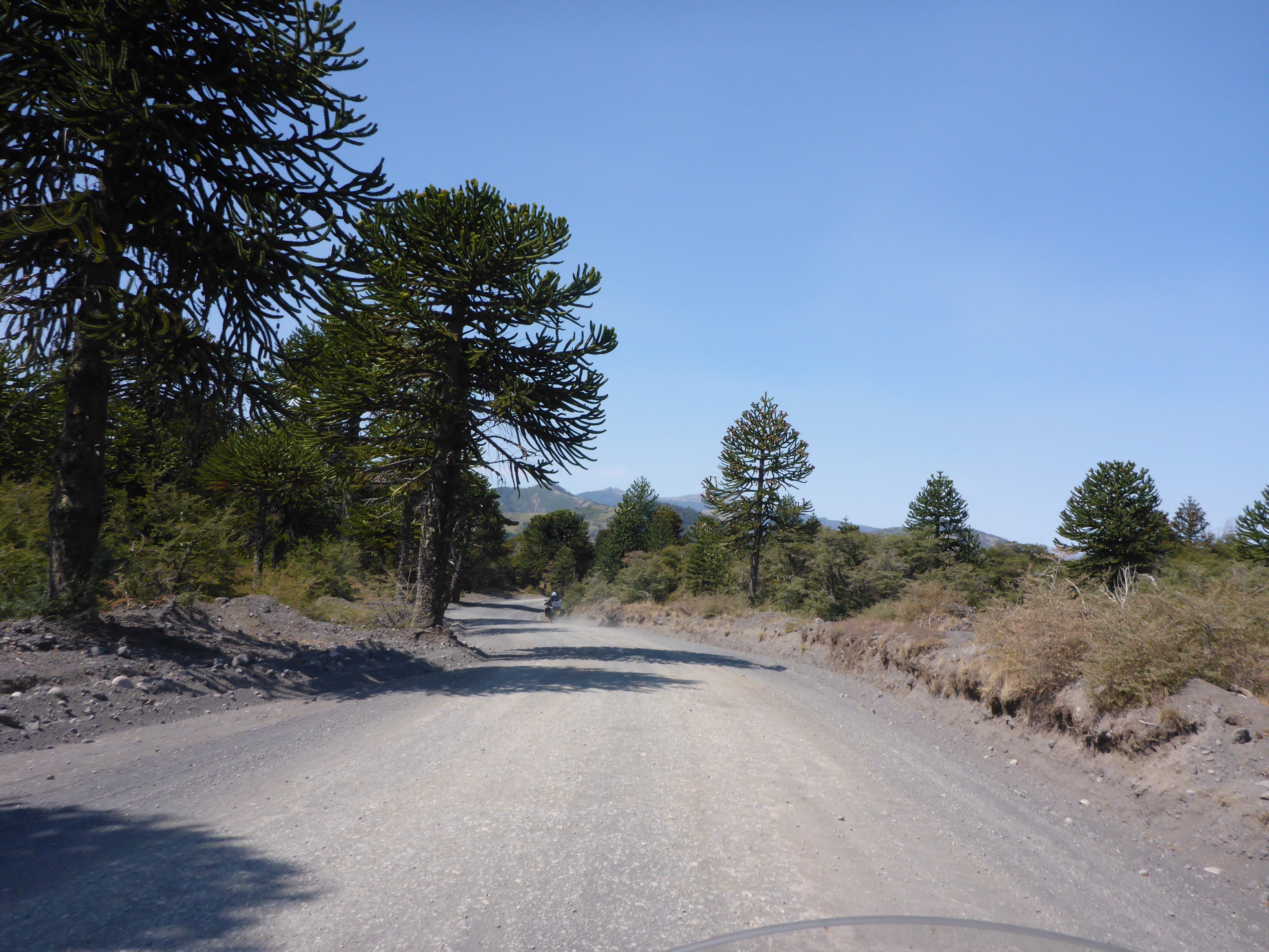
After yesterday’s beautiful border crossing, we have decided to meander down towards San Carlos de Bariloche. Between San Martin de Los Andes and Bariloche are seven lakes linked by part of Ruta 40. As we ride down this section of road, it is hard to find words to describe the vistas as they unfold before us. The muted browns and greys of the mountains, the green hues of the trees and the unbelievable blues of the lakes, pictures will have to suffice.

Lácar lago outside San Martin de los Andes

Rolling pastures of Patagonia near Lácar lago

Looking west towards the Andes near Lácar lago

Lácar lago

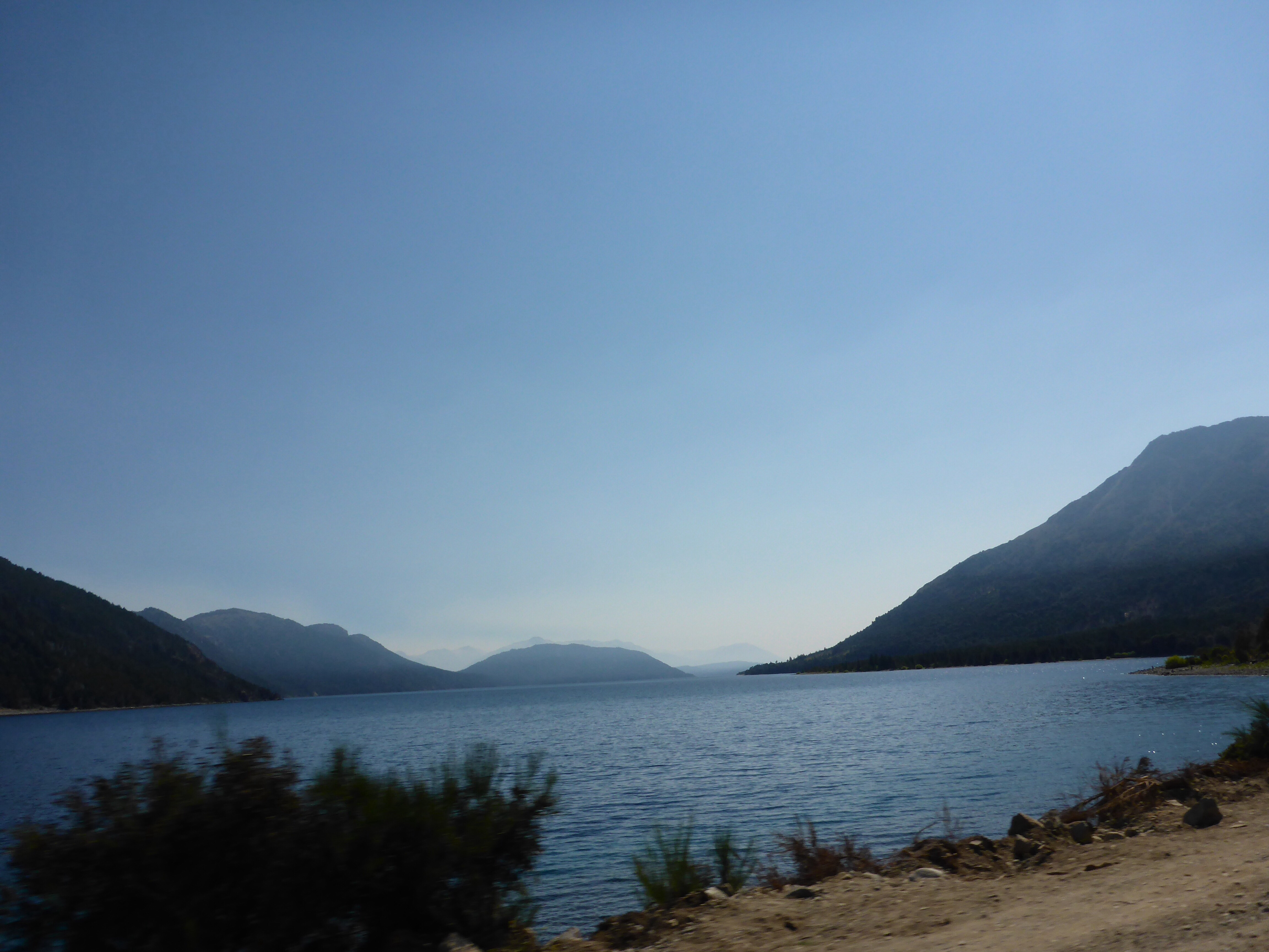
Another bend and the scenery changes again along the Camino de los Siete Lagos through the Nahuel Huapi national park
Camping spots abound at the lake shores, and if we had more time, this section of some 150km should be a journey of a few days not hours. At one location we stop at a campsite leads directly onto a beach of golden sand. The location reminds me of Fraser Island at home in Queensland, with sand dunes replaced by mountains. The water is a pleasant temperature, surprising for a mountain lake and make the location all the more appealing to camp at, but onward we must go.
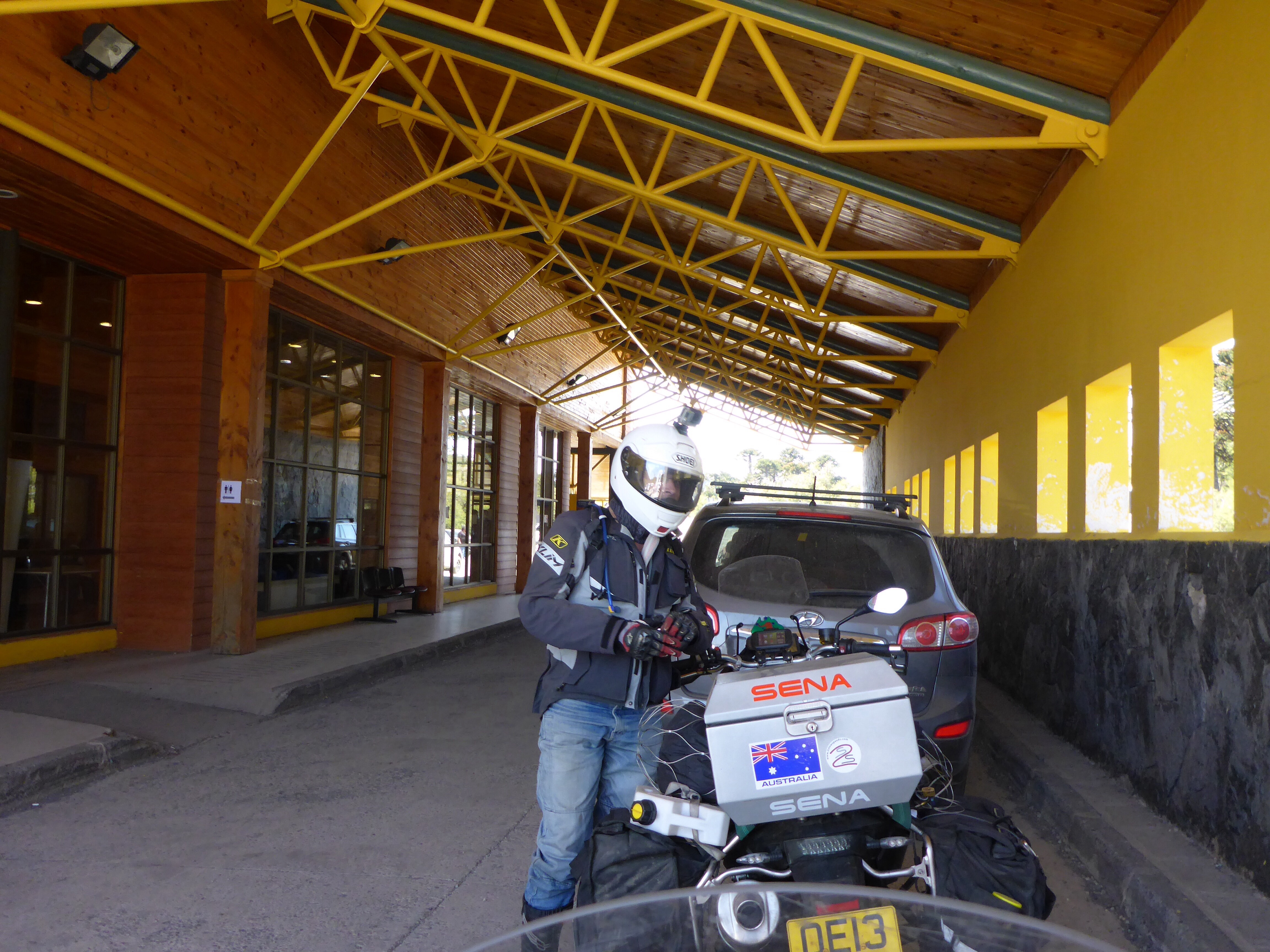
At one lakeside campsite, we meet up with Heinrich again. He joins us as we talk to a Columbian rider who is travelling for 10 months on a bike that is literally covered in stickers. This is definitely bike country, both pedal and motorised, we have seen more travellers, most from Chile and Argentina, in one day than in six months and while I have a great admiration for those pedalling given the mountainous nature of the road, I have no desire to emulate their exertions.

Lago Villarino
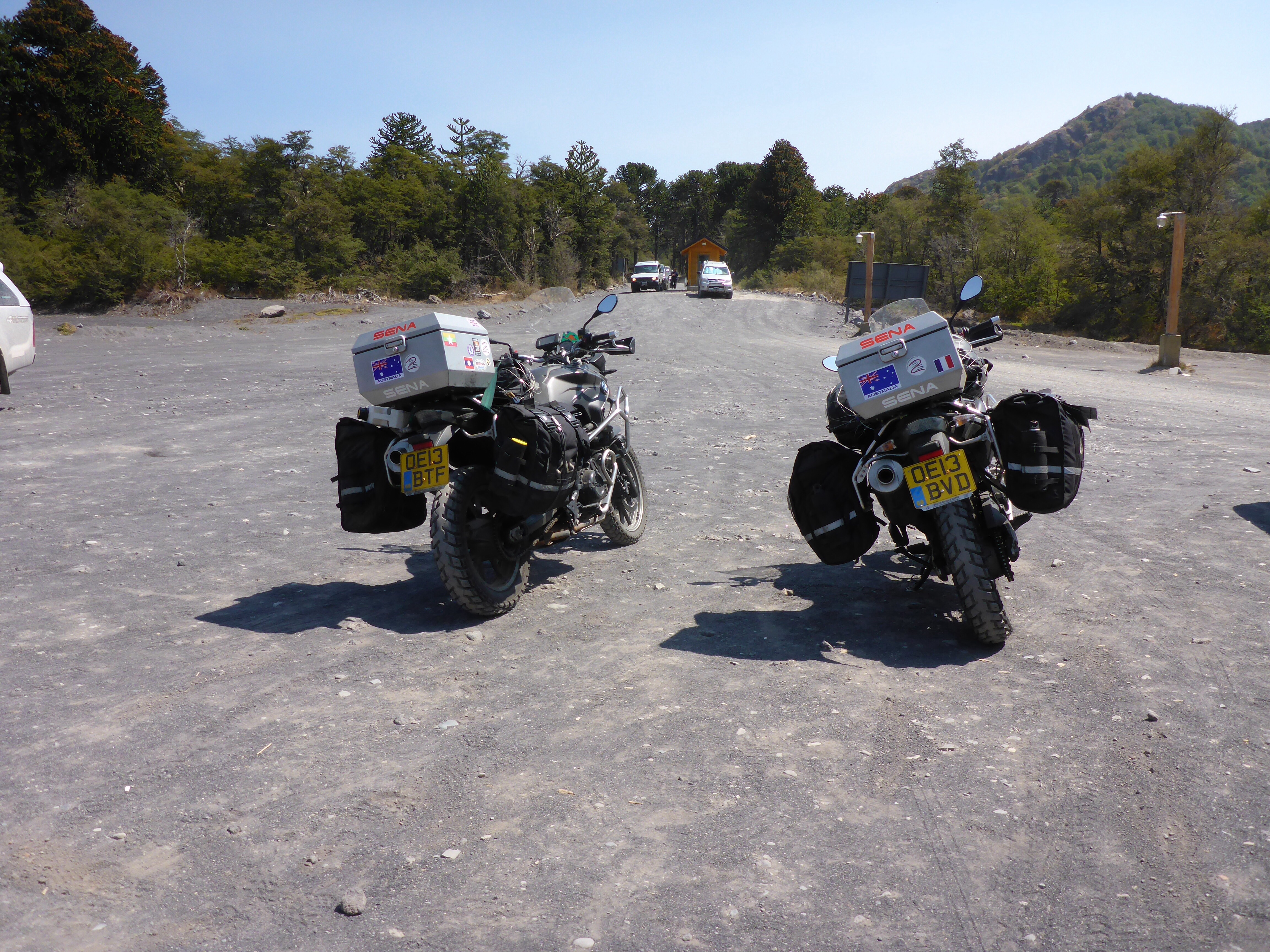
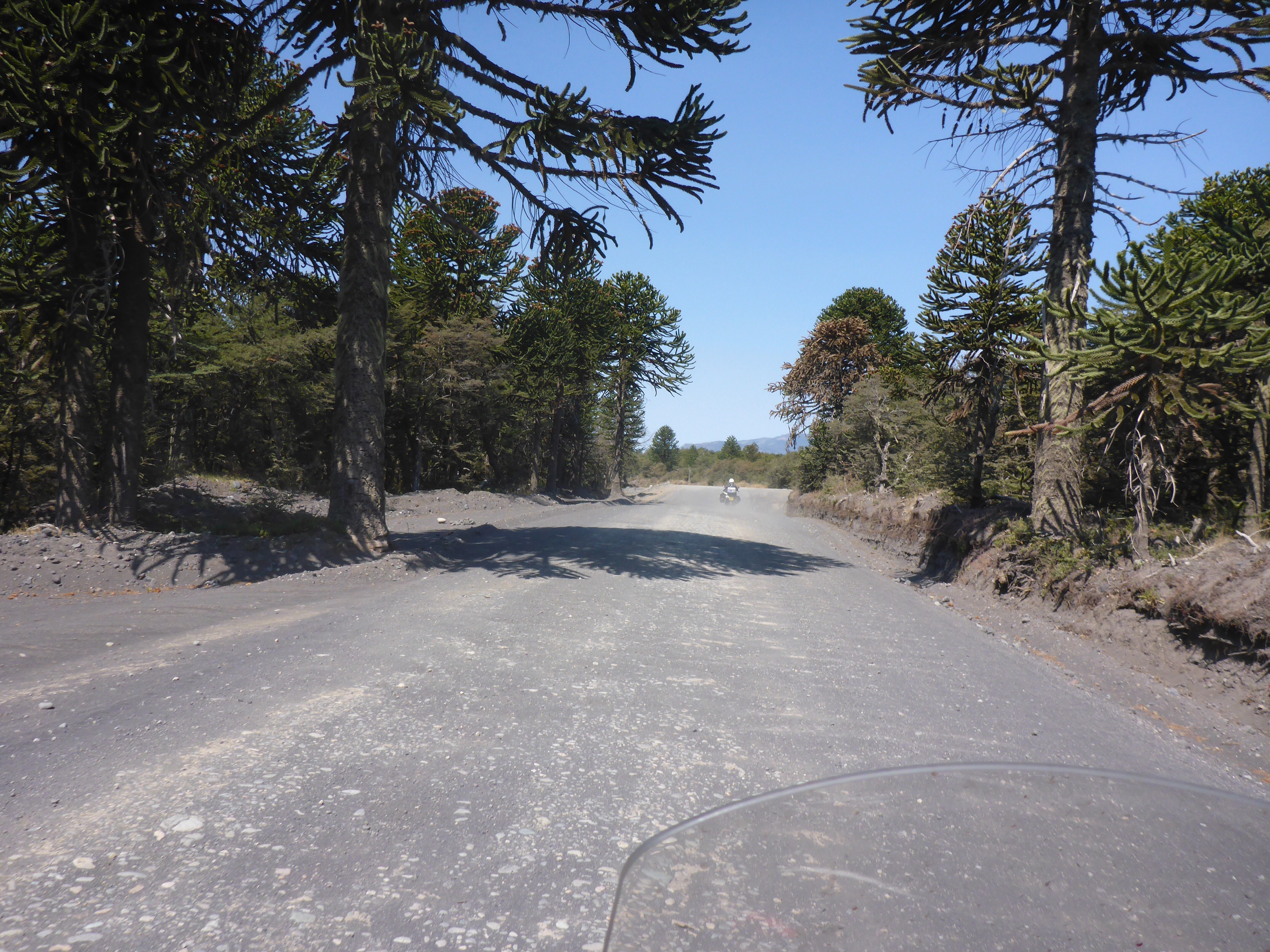
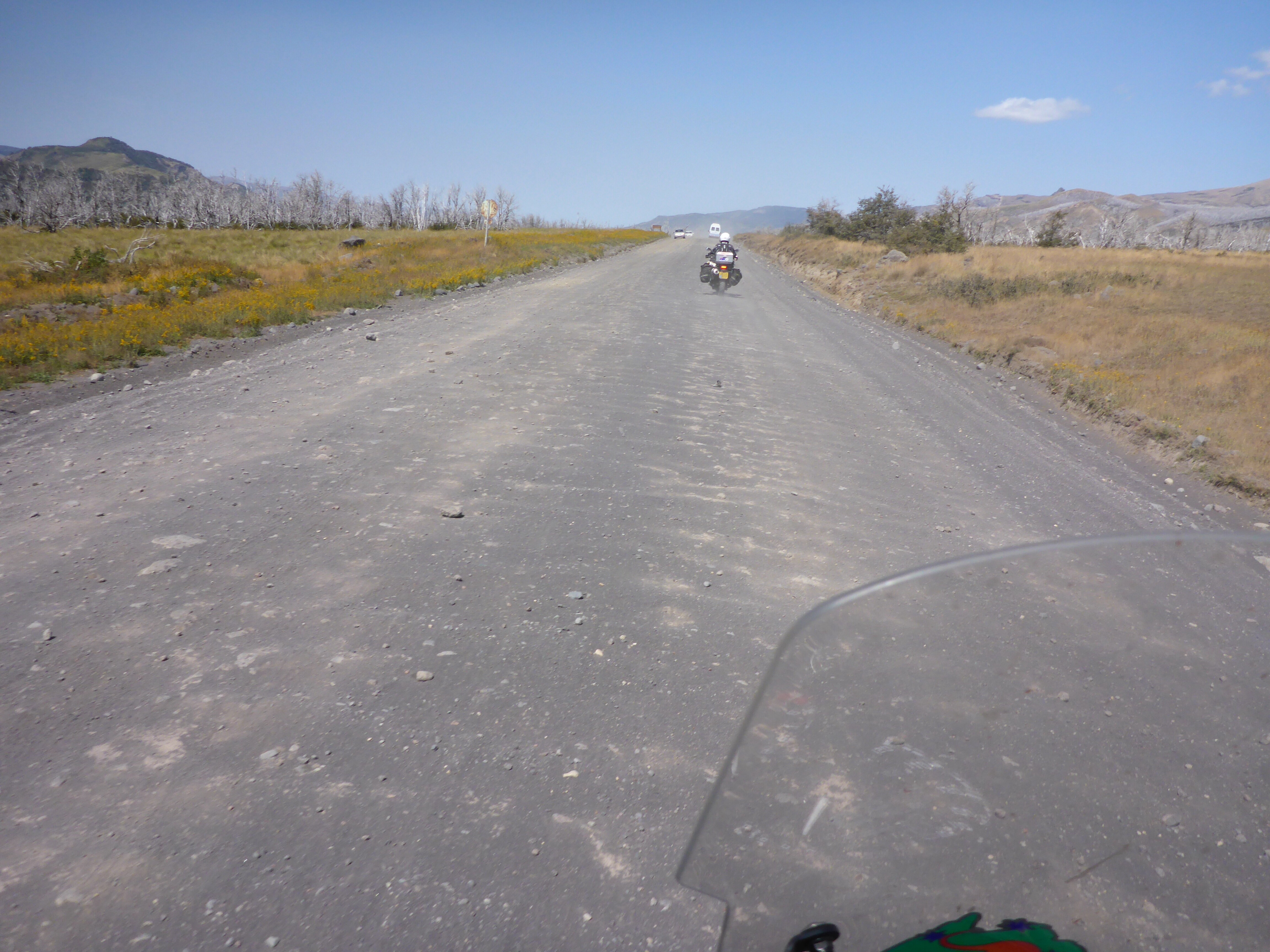
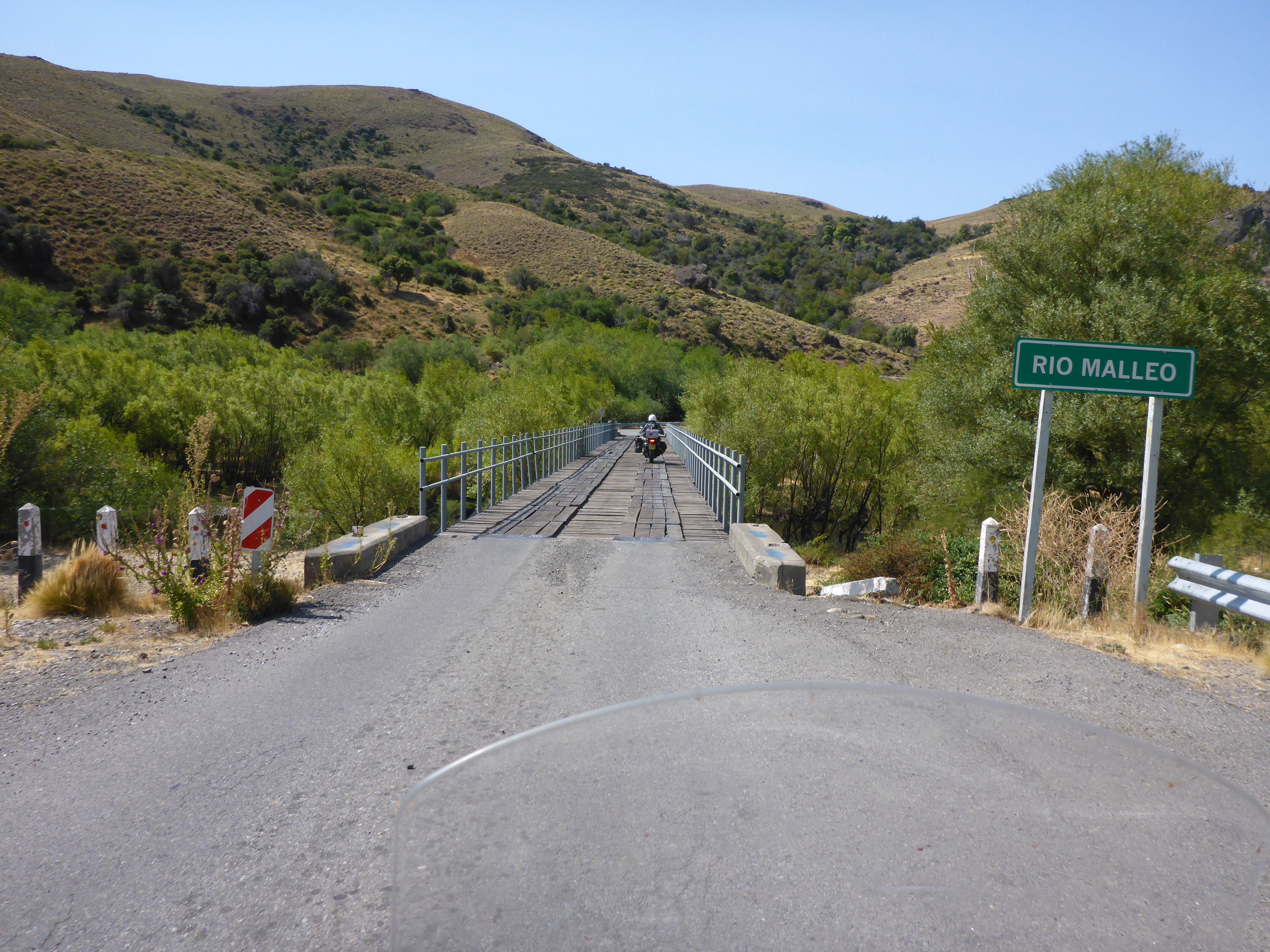
We had expected more ripio or dirt and gravel on this but road upgrades are reducing the remaining sections un-tarred road by the day, it is less than 10km now, and I would not be surprised if all the ripio is gone by next summer. It should be noted that as road sections are upgraded, the authorities have made some changes to road numbering to designate the better sections as Ruta 40, so some maps and online information may conflict.
I have talked before about smell, and how it is an integral part of our travels that are hard to convey to our readers. From time to time on this journey, strong scents have reminded me that the sense of smell can both create and bring back strong memories. Here the wind as we ride brings us a whiff of pine as we pass the lumber yards, eucalyptus as the sun warms the leaves on the trees, and logs on fires, all add to the immense pleasure from this under-utilised, in my view, sense.
Nahuel Huapi south of Villa la Angostura
Back onto the Ruta 40 looking back towards the lake district
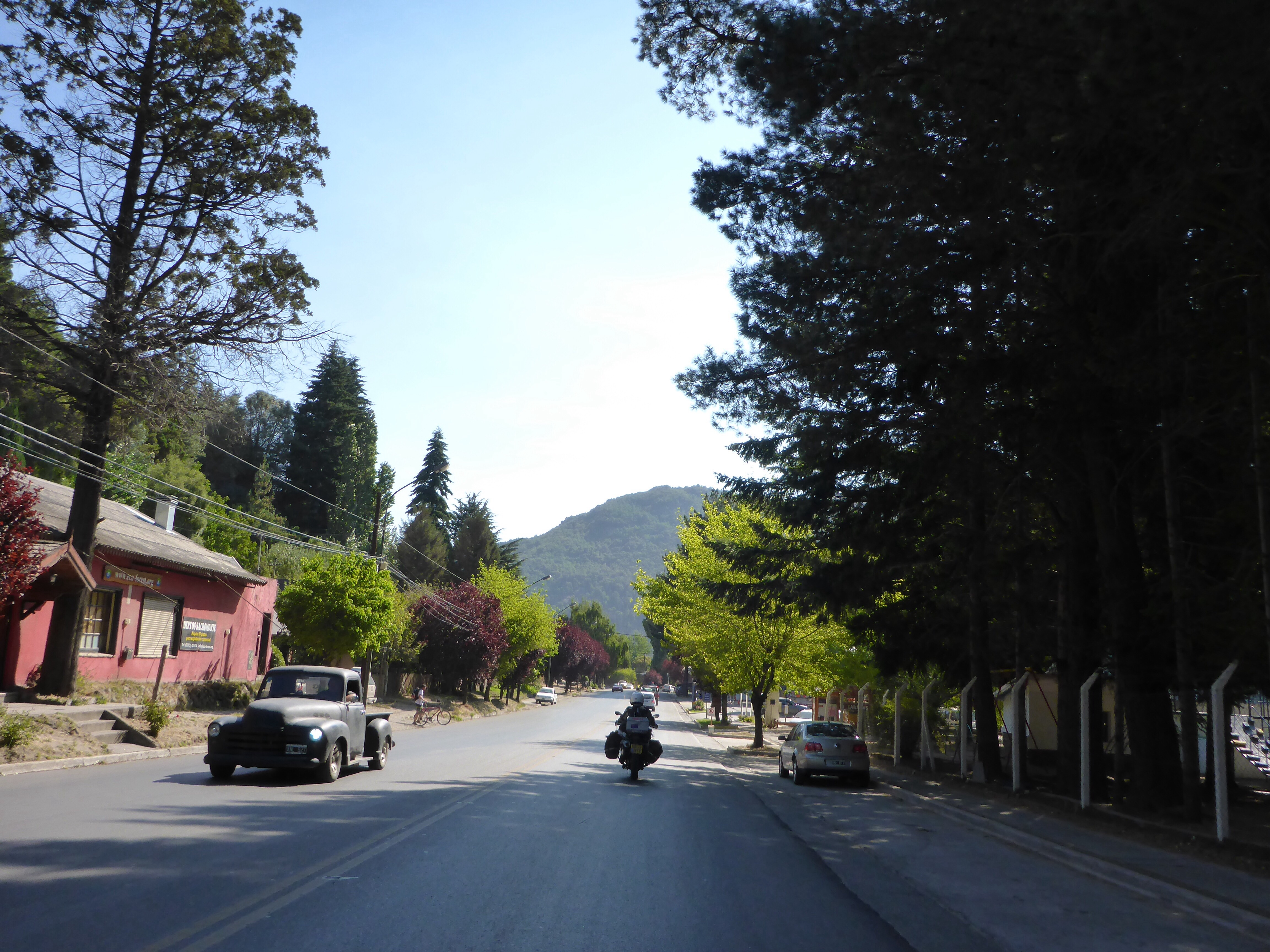
Baraloche has turned out to be the southern most point we will reach on this journey with our departure for Easter Island on the 4th of March looming . We have decided that our return north will be on the Argentinian side following the famous and scenic Ruta 40 as far as Mendoza.

San Carlos de Bariloche at dusk
– Anthony