Cairns to Brisbane… 5 Days on the Road

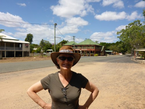
When the “Bird” and the “Bee” were shipped up to Cairns last year, we had hoped at the end of Anne’s project to ride back to Brisbane taking a couple of weeks, but this would depend on a number of factors including time of year and our future overseas travel plans. As time progressed we realised that the options had narrowed: we either ride back in five days or ship the bikes back. You guessed it, option A won out easily but we would need ride about 400km each day which is about a 100 km more than we usually do. Around Cairns, we were only doing 250km trips so how will our bodies react to an extra couple of hours in the saddle each day?

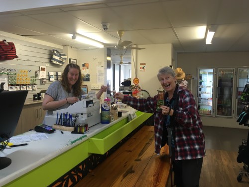
Packed and ready to go. Ignition on, engine start but it seems I have no fuel! Zero according to the dial but then I remember that I installed a new battery last week.  A quick pit stop, fuel in, gauge fills up and we are good to go and off Brisbane here we come.

As we head south past Gordonvale, the Gillies Highway turnoff, Innisfail and to the Bingil Bay Cafe near Mission Beach, Anne realises that we are seeing each of these places for the last time and that her stay in Cairns is coming to an end. Quite emotional. Anne has become an FNQ’er. (Far North Queensland) person. Anything below 26 Celsius / 79 Fahrenheit is now considered cold by Anne.

Its tough on the road. Bengal Bay Cafe.
Mission Beach at its best for riding.

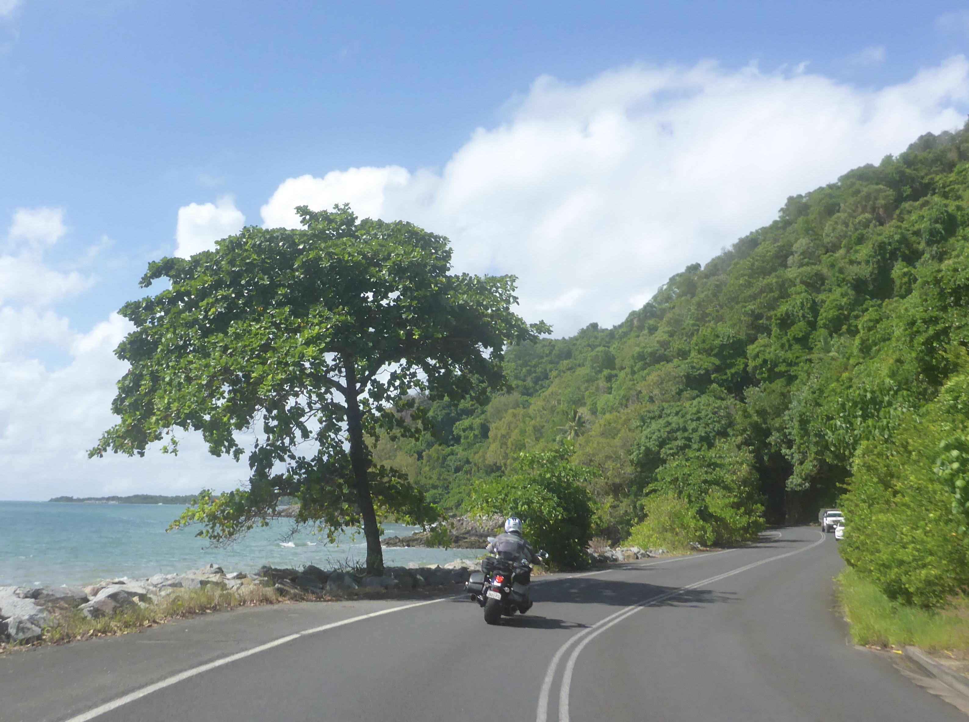
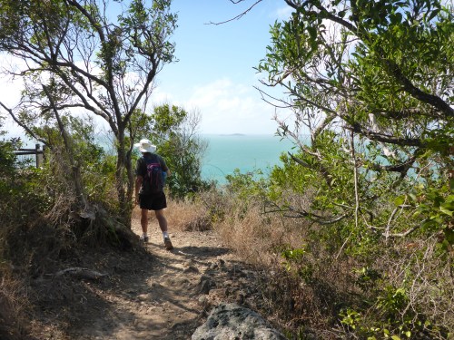
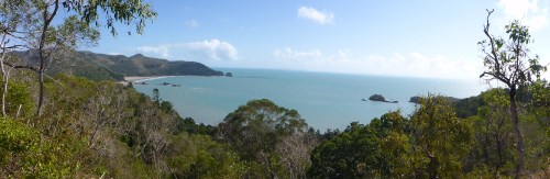
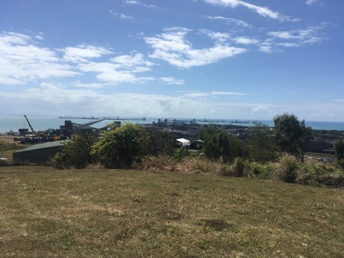
We stop at the Hinchinbrook Island outlook, which was very close to where we stayed last August to celebrate 50 years since we met in 1974. 

Southern end of Hinchinbrook Island in the distance.

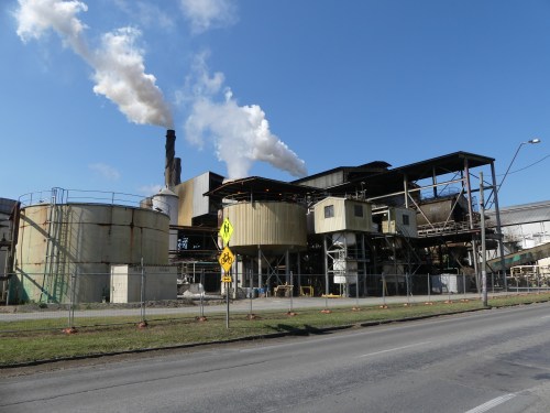
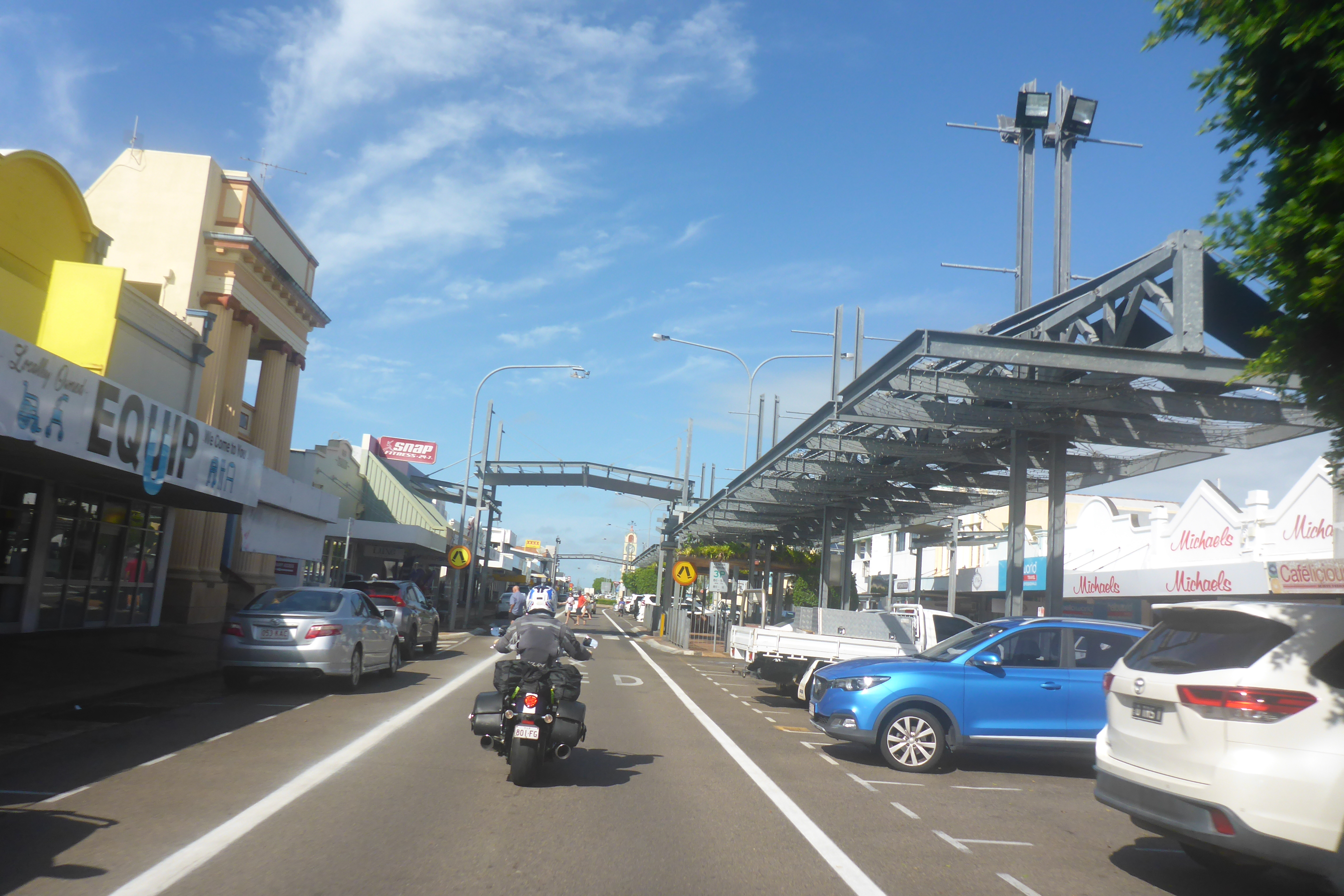
Lunch is taken at Ingham which as far south as we have ventured on the motorbikes in Anne’s time in Cairns.  I have found as a coeliac that the local country pub always does a gluten free steak, mash and steamed veggies, it works every time. 

It’s only just over 100km to Townsville no problem apart from a really heavy afternoon rain.  Am I on a road or a river? We are still using some riding gear that dates back to 2014. We have added a new Rev’it Cyclone 4 H2O Rain Jacket over our now semi porous well loved KLIM motorcycle clothing.  We are however testing current riding boots which while great in the dry are semi porous and will require us to rethink footwear for Europe.

Now I know where rain comes from.

Our walk back from the local shopping centre we get drowned again, no waterproof clothing just the Queensland wear, shorts, singlet and thongs so not much of a problem there.  We have however lost one of our Sena headsets, completely dead. The driving rain has made its way past the layers of waterproof tape holding it together. Cable ties and tape can only do so much.  But we have a spare old unit so onwards we go.

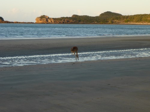
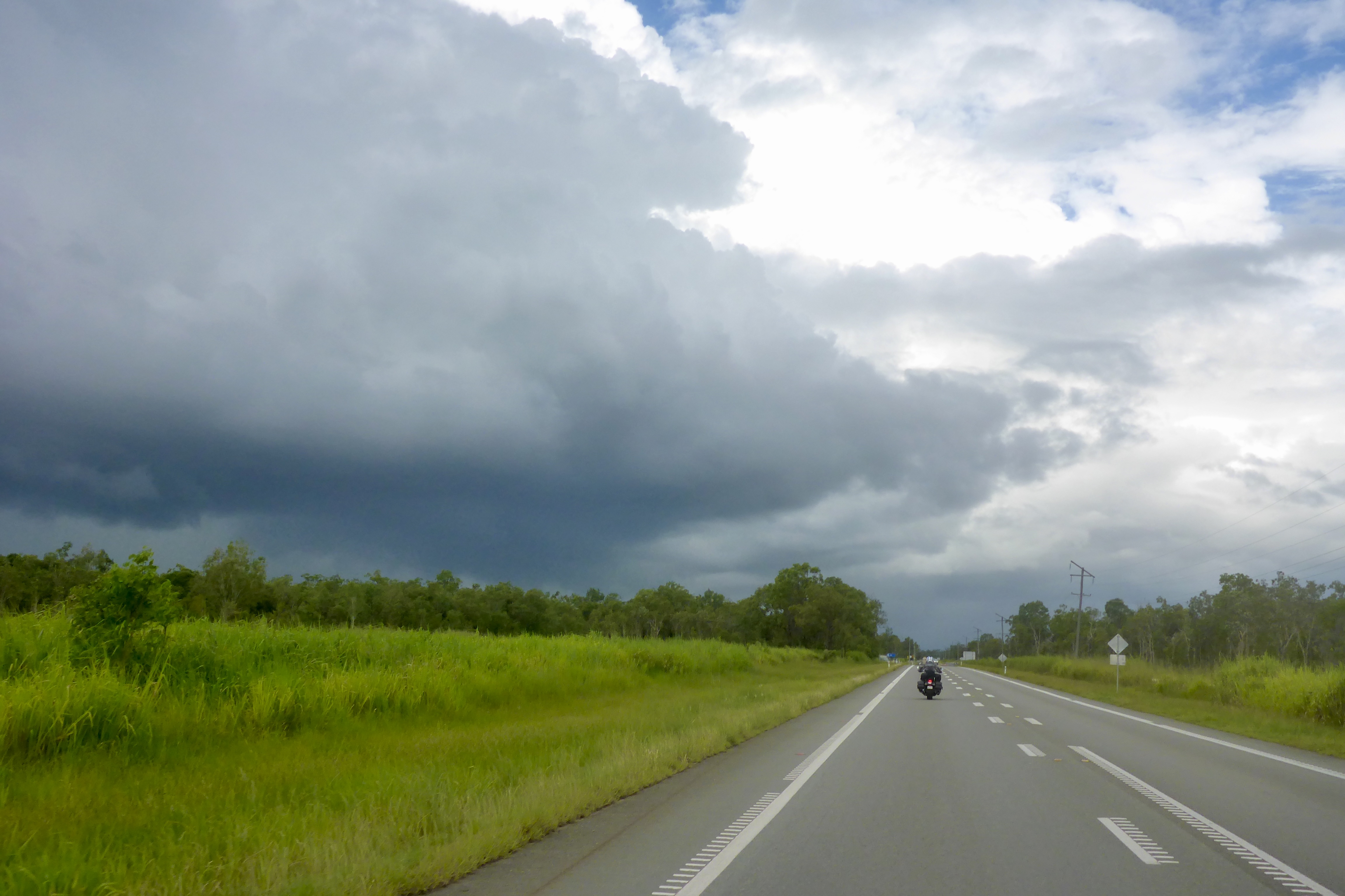
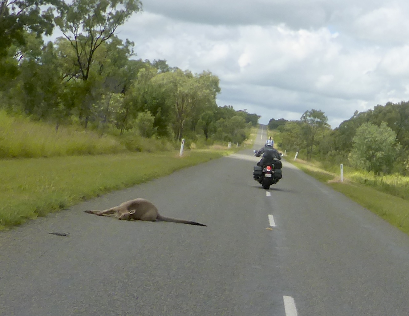
With still damp clothing and sodden riding boots, we set off on day two, rain foremost in our minds and yes rain is back.  If i ride faster will it miss me, sadly no. I recall in the book “So long and thanks for all the fish” by Douglas Adams the existence of a minor rain god who is followed by the clouds. No not us as the weather clears as we head south.  A detour up the 200 meter high Mt Inkerman south of Townsville brings me a “close encounter of the kangaroo kind” within a few meters, luckily I am only travelling at about 40km an hour but it was close enough to raise my pulse rate.

Looking North from Mount Inkerman.
Queen St in Ayr.

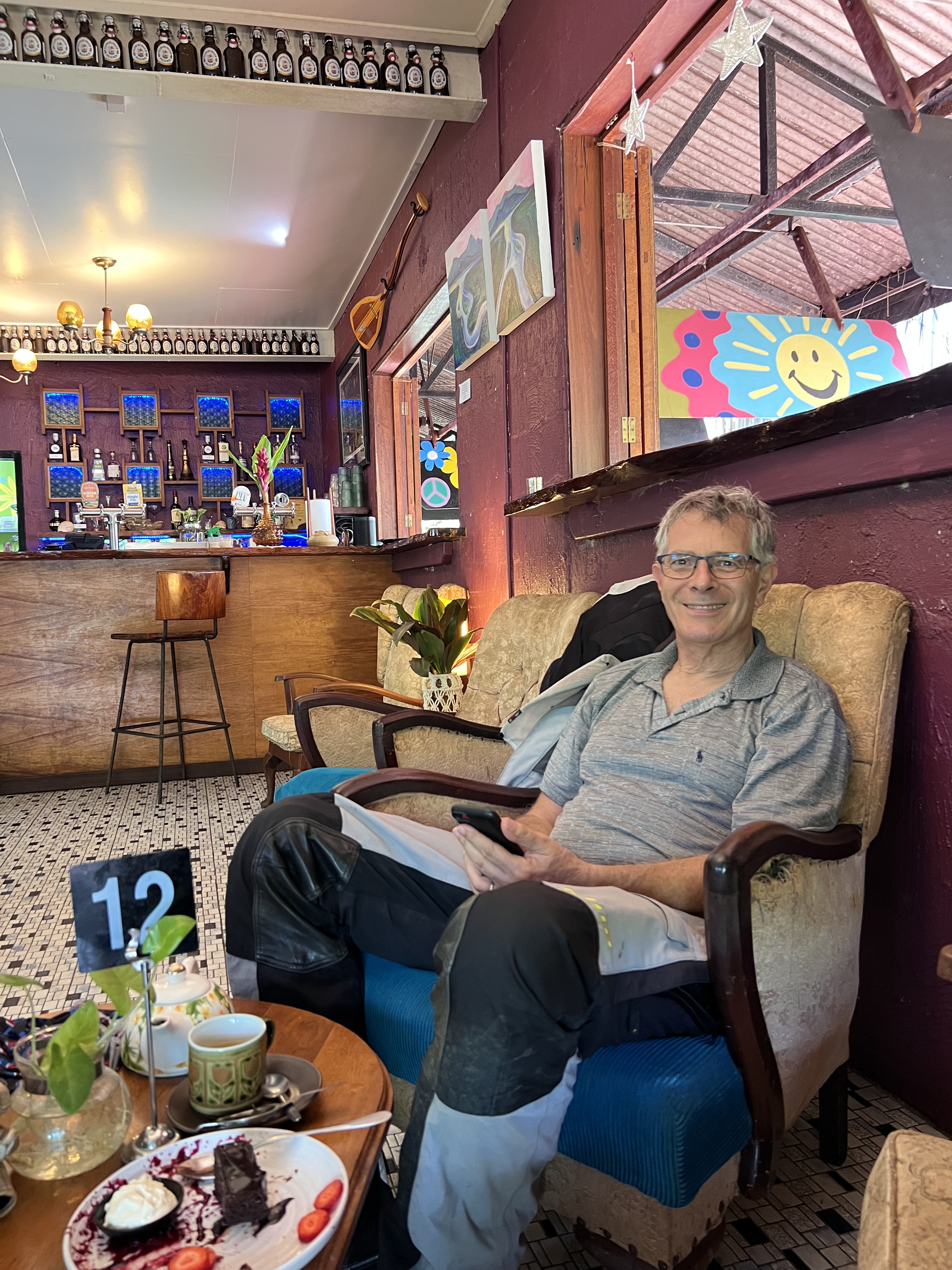
Bowen for coffee and Proserpine for lunch with interesting chats with locals allows us to avoid the passing showers. Mackay is our second stop and a chance to catch up with Mar, a motorcycling friend who lives there.  A good side to social media and forums – Anne and Mar met online through common interests and we first met Mar at Brisbane airport about a year ago. Mar used to be a motorcycle racer in Spain and it was beautiful to watch Mar zoom off after our dinner together in Mackay – she is obviously just one with her bike – poetry in motion as the saying goes.   

Catching up with Mar in Mackay.

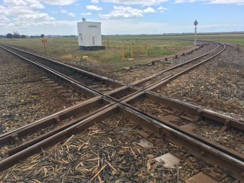
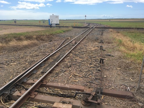
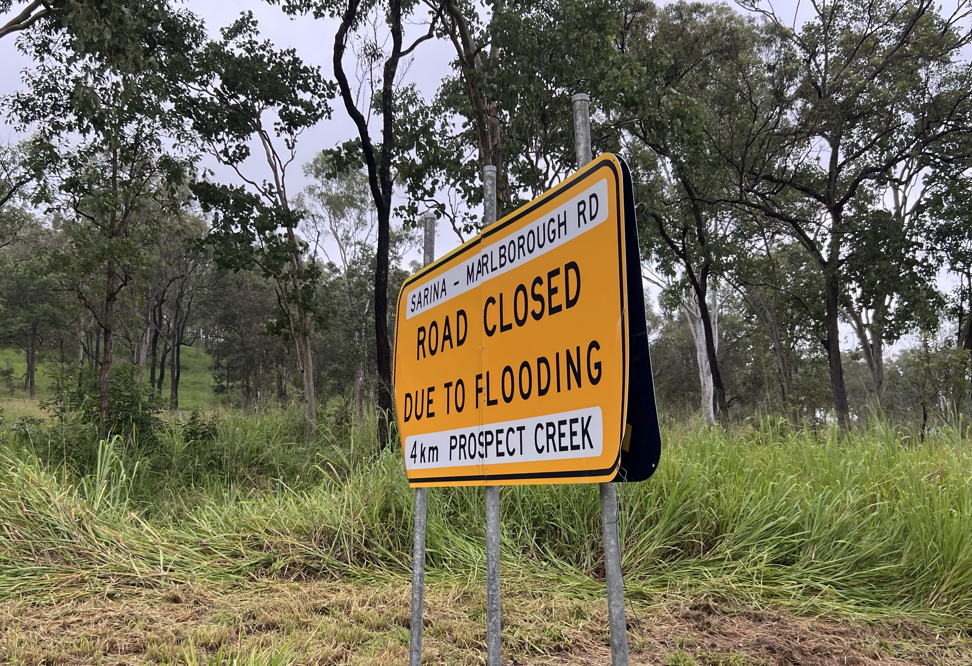
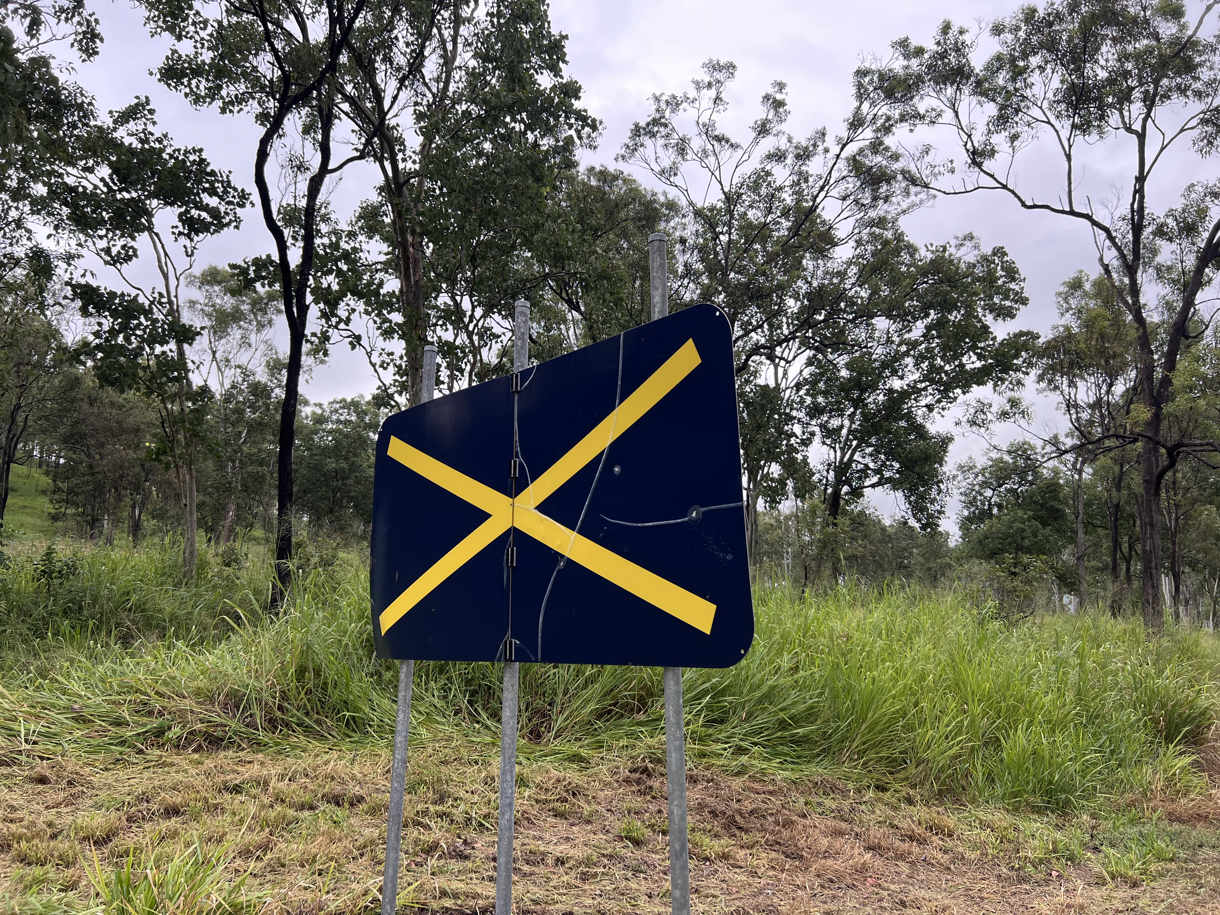
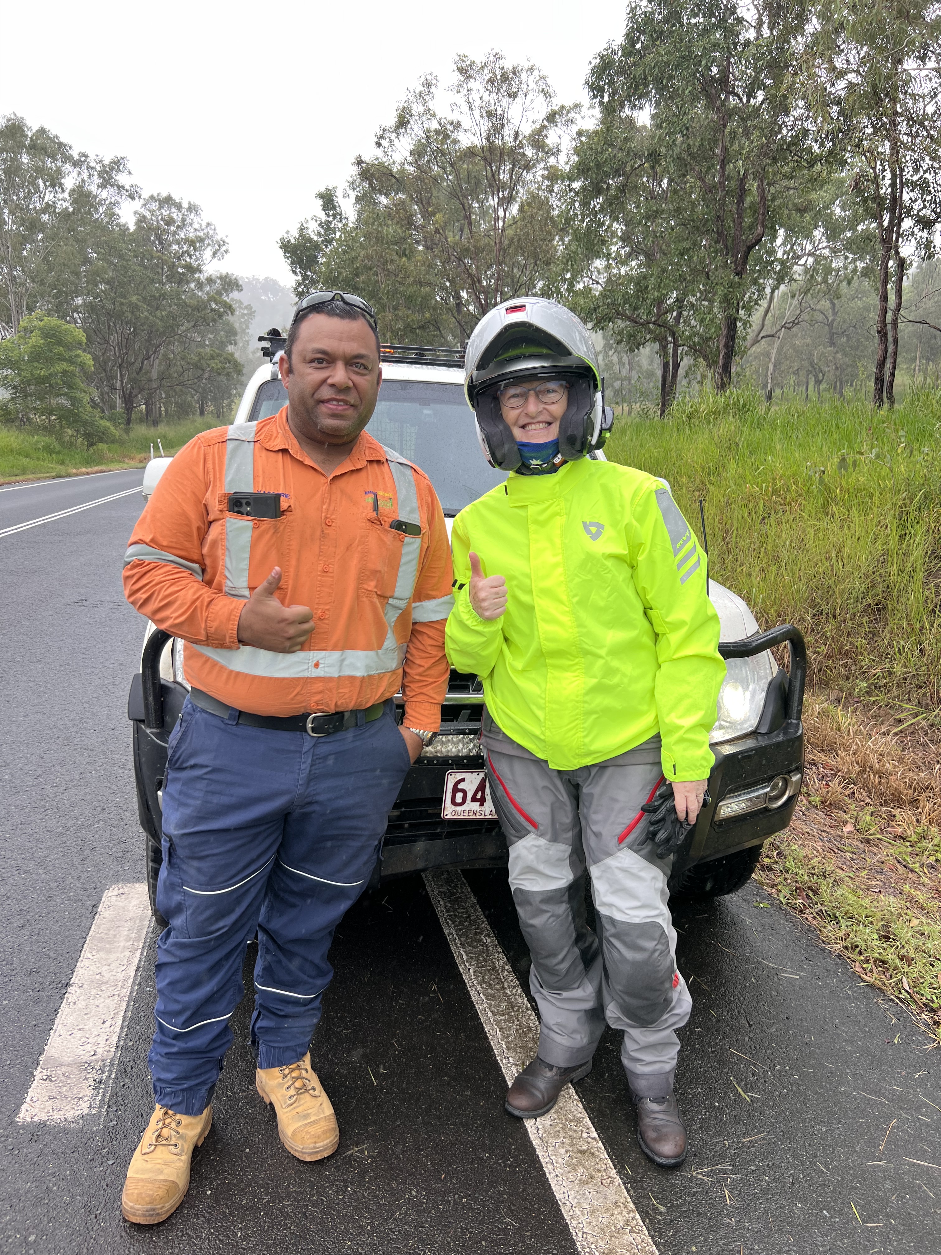
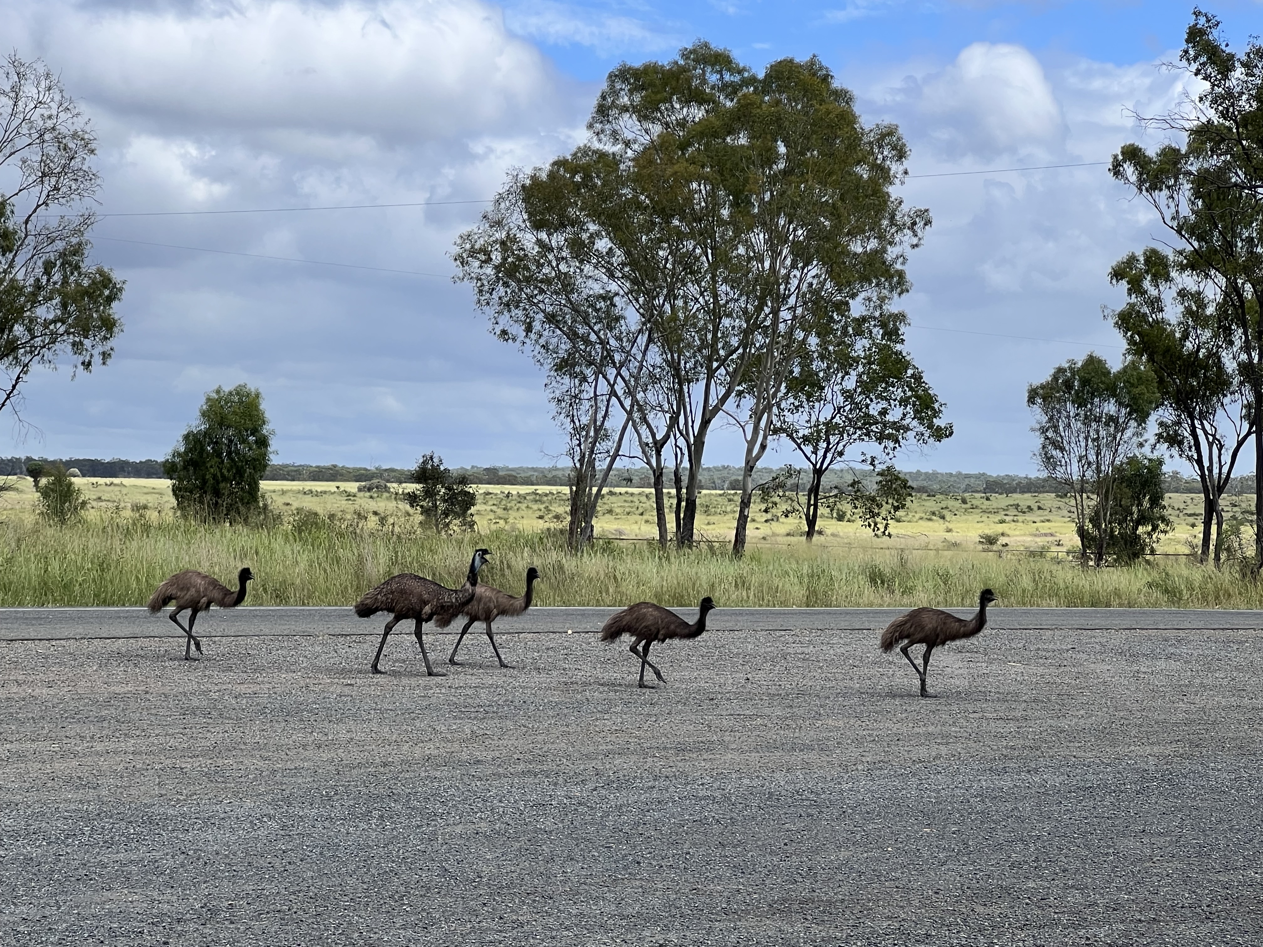
At Sarina we head west on the alternative inland route to Marlborough suggested by our friend.  Yes rain again but we now have bin liners in our boots so they remain dry. A great road but after 30 minutes “Road Closed due to flooding”!  We stop and Anne goes back but the first sign in a large “X”?  Must be further back? We have no mobile coverage so Anne goes looking and disappears from sight. A ute pulls over and the driver offers to go and bring Anne back.  Five minutes later Jacob and Anne are back.  The sign has reappeared.  The wind is blowing the “X” cover on and off and is not secured. How easily one can be led astray by false information and the internet was not involved.  The road is not flooded and we can continue.

Before …….
After….no wondered we were confused.
Jacob saved Anne a long walk back

A somewhat lumpy road with little traffic would be wonderful to ride, apart from the many recently deceased kangaroo and wallaby carcasses that regularly dot the road. I did see one grey hopping away from the road but the number of fresh carcasses is a reminder of the risks on some roads.

Best to avoid these if you can.

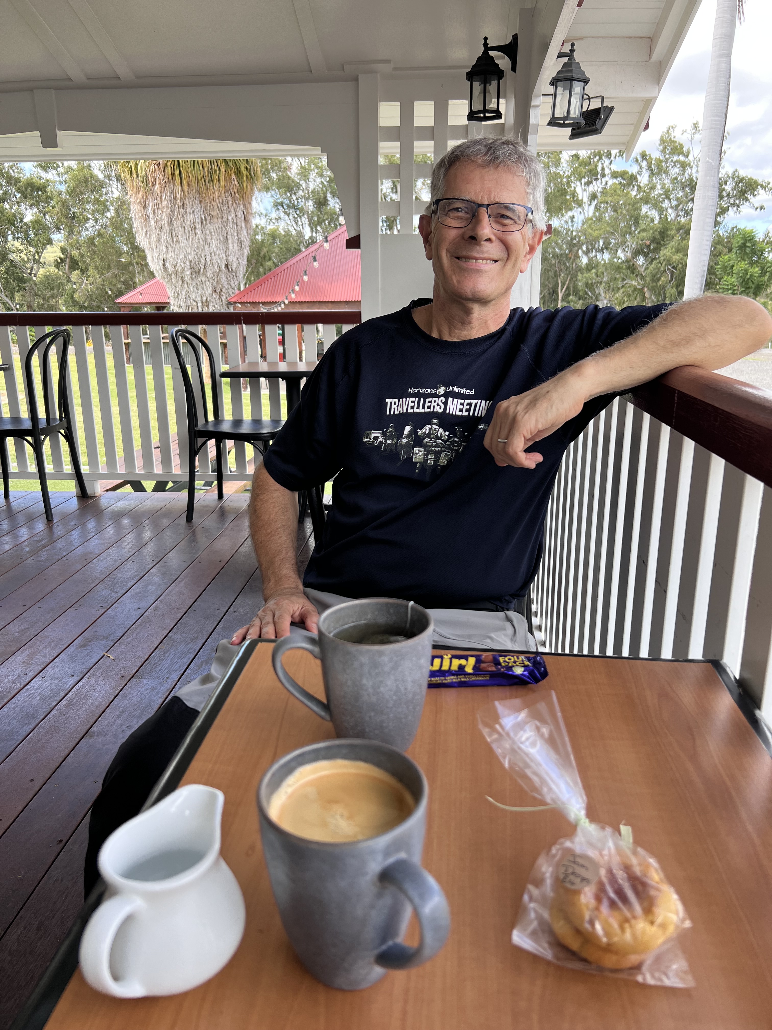
A break and good coffee at “the homestead” at Lotus Creek, onward we go. We have little sign of civilisation since leaving Sarina until we come across the Clark Creek wind farm which is under construction.  When completed stage 1 will bring 450MW online generated by 100 massive turbines. 

A coffee oasis at Lotus Creek.
Still toughing it out on the road.
Lotus Creek Emu’s
Memorial to 1956 Olympic Relay organisers on the Marlborough Rd.

After lunch in Marlborough we head towards Rockhampton,  traffic is light and we make good progress apart from Anne needing the occasional 10 minute afternoon nap.  I thought that was my  province “afternoon naps”!

A little nap at the side of the main highway.
No this sign is not near Anne sleeping!

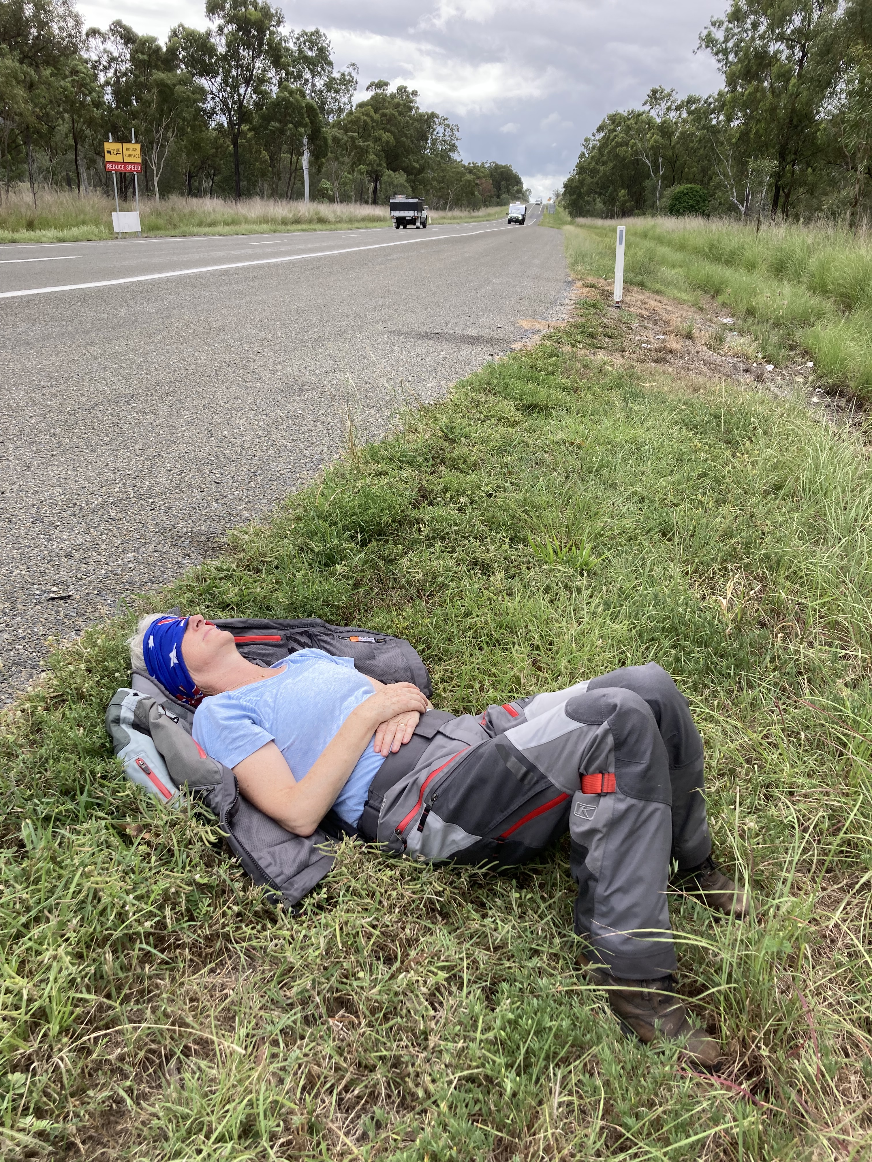
By day four we are well versed in packing and leave Rockhampton ahead of our usual 7:45 and now the rain had finally abated we make good progress south. We are heading for Hervey Bay to catch up with an old work colleague of Anne’s. The remaining Sena headsets are disconnecting, playing music and occasionally I cannot hear Anne.  Only when we do not have contact with each other do we realise how much we miss the contact.

Anne does love her tractors.

Our last day on the road, we have covered over 1600km with around 300 still to go. We are surprised at the volume of traffic heading into Hervey Bay as we make our way towards Maryborough.  It has been interesting to compare the size of each town we have passed through as a dot on a map tells you nothing about the town and its facilities. 

We get to use the Gympie by-pass for the first time, smooth double lane highway, 26 kilometres long which removes 53 intersections and nine traffic lights from our journey and with animal fencing down each side is much safer. Shortly after mid day we are home in Manly.

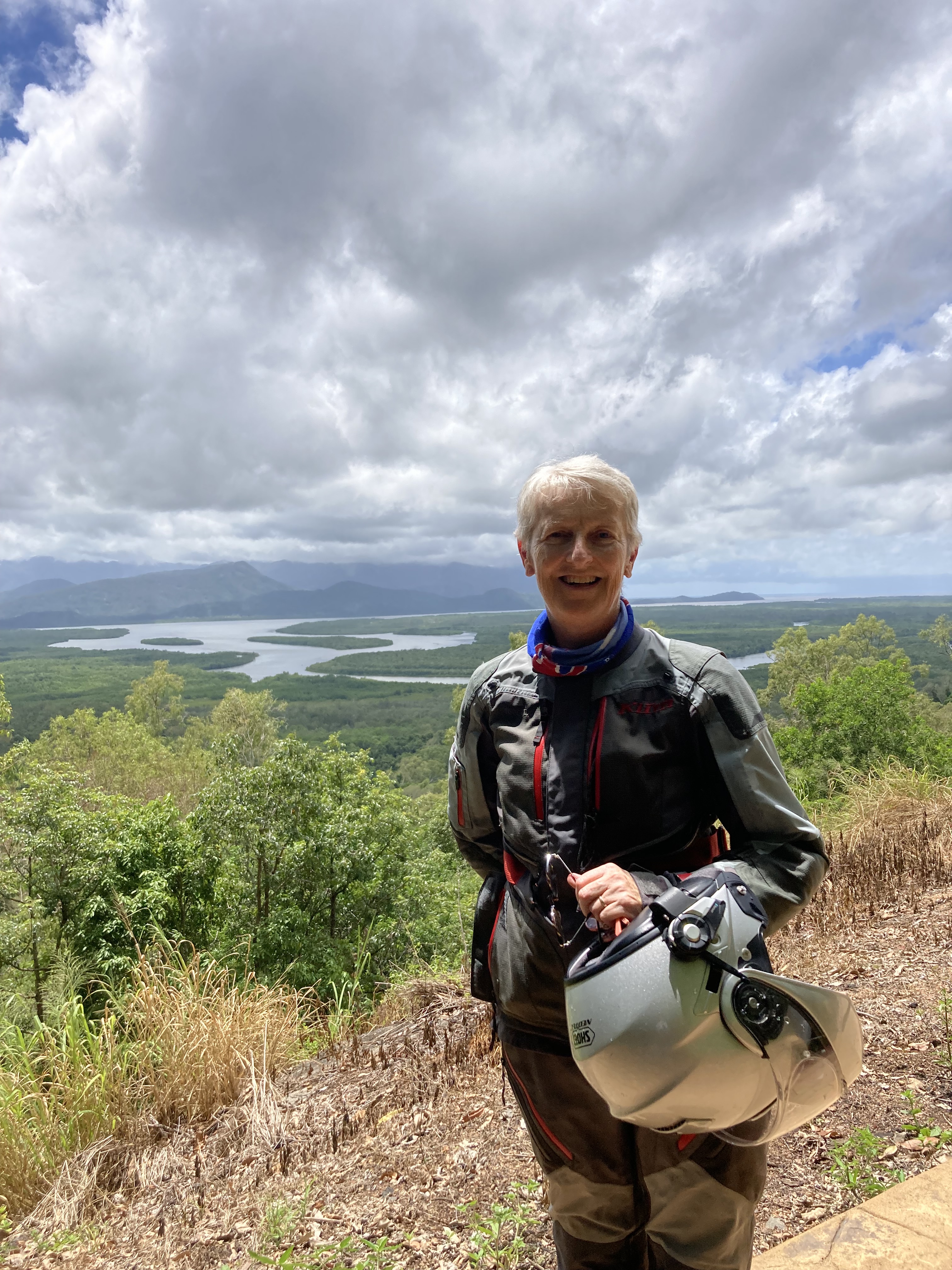
Five days on the road, 1,900 kilometres covered and we have identified what motorcycle gear still works and what does not. Our new over-jackets are great and very visible, waterproof boots need to be considered and research is needed on the next headsets to replace the Senas which have reached the end of the road after over 10 years of service. We now both head back to Cairns by air,  covering the same distance in two hours 15 minutes but without all the experiences being on the road brings.

– Anthony  

Drifting back to the coast.

Going back in time, completing our camper van trip on to Rockhampton…

We have travelled almost 1,600 km. / 1,000 ml. to get to Longreach, which will be the furthest west we will travel on this trip. There are almost another two folds of the map to the western Queensland border still to be explored.  Winton amongst many other places will be for another time perhaps.

As we head eastwards, I reflect that each town we go through has made an effort to shine and attract our interest, focusing on one or more attractions.  In Ilfracombe, just east of Longreach for example, it is industrial machinery, historic guns and bottles. Someone commented that it was unguarded but nothing gets stolen.

Anne with an old tractor in Ilfracombe.

Barcaldine is known for its Tree of Knowledge. This famous tree was the meeting place of the strikers during the 1891 Australian shearers strike and Barcaldine was significant in the birth of the Australian Labour Party.  The tree stood for over 120 years since those events until deliberately poisoned in 2006.  The subsequent sculpture that replaced the tree pays homage to the tree in a beautiful way.

One of Barcaldine’s many pubs

The “Tree of Knowledge” monument at Barcaldine.

The Tree of Knowledge, Barcaldine Qld.

Monument to shearers strike of 1891 by Milynda Rogers

East of Barcaldine on the Capricorn highway we see little evidence of dead animals at the side of road leading us to believe that night driving by trucks on the main commercial routes, such as the Warrego Highway we came eastwards on, may be the cause. It gives us more confidence that we could ride our motorcycles out west if we limit our riding hours to avoid dawn and dusk.

For those of you who thought the names Emerald, Sapphire and Rubyvale were the gateway to untold fortunes, think again.  Only Sapphire is named after the semi precious stones found there.  The other two are probably wishful thinking on the part of the towns founding fathers, to attract settlers to their towns. Sapphire itself has a dilapidated air about it, probably because the miners focus on more important things and that a number of the businesses are up for sale. “Pat’s” can be had for 450,000 dollars including stock. We are not tempted to spend even AU $15 on a bucket of stone and sand in the hope of sifting a fortune.  However the date scones are another matter, and I think are a better deal. We meet Raylene and Jim, who we estimate are in their 70’s, who are travelling in a personally converted Land-rover Discovery 3. The interior is spartan but works.  They are also restoring a 12 bedroomed house they have lived in for years. That did not make sense until they mentioned they had 12 children!  Yet another lovely couple and another method of travel to digest.

At our next stop is Lake Theresa outside the town of Clermont, which is both the local water supply and boating spot for the locals. Here we meet George and Buff who are heading north to take part in the Southern Cross Annual 5 Day Poker Run for charity. They camp next to us with their motorbikes and trailers that have pop up tents with queen size mattresses inside.  Very impressive. Yet another mode of transport for us to consider. 

We are now entering coal country, this part of central Queensland has 24 mines whose coal output feeds into Queensland Rail’s Goonyella system that hauls the coal to the coast for export. As we travel along the Peak Downs highway the only evidence we see of this is the road signs pointing to the coal mines, the massive trains that haul up to 10,000 tonnes of coal at a time and innumerable power lines that provide the electricity to make this all work. 

We detour to Moranbah, a town which was built to house coal workers back in 1969.  Today it has a population of over 8,000 and a good range of amenities designed to attract workers and their families to live in the region rather than be FIFO workers.

Now this is a coal bucket.

Anne in Nebo.

As we descend towards coast through the Clarke Range, which is part of the Great Dividing Range fields of green sugar greet us. We have left the brown landscape behind, we are back to the more familiar green and are closer to the sea.  While I enjoyed the inland, I think the coastal areas are where I prefer to be. Central Queensland has an interesting mix of industries, coal, cattle and cane.  All the “C”s.

Throughout the sugar growing region around Mackay, narrow gauge rail delivers sugar cane to the various mills,  While we crossed a number of tracks and did not see any trains, the white plumes from each of the stacks of the mills we passed showed that harvesting was in full swing.

Mackay Sugar, Marion Mill.

I was surprised to find out that around region, Mackay Sugar have over 850 kilometres or 530 miles of narrow garage tracks that are used to bring the harvested sugar cane to the mills.  It is a very extensive network and keeps trucks off the road. This network extends more that 70km north of Mackay.

Main QR Line and Cane tracks crossing.

Derailing points on cane track crossing main QR line.

Our next stop, Cape Hillsborough National Park, sits across two rocky outcrops with a golden sandy beach connecting them. This park is famed for is beach kangaroos that feature in the latest Queensland tourist ads.The Coastal Eastern Grey Kangaroos – Macropus giganteus aquaticus  Anthony.  Stop this nonsense next you will be talking about drop bears!  These are just normal Kangaroos that live near the beach – Anne.

Eastern Grey Kangaroo at dusk on Cape Hillsborough National Park.

Kangaroo on the beach at Cape Hillsborough National Park.

PS: Drop Bears are a sub species of Koalas known for rather aggressive behaviour and the habit of dropping from the trees on foreign female backpackers who need protection from strong healthy young Aussie males in beer commercials – Anthony.  This it the sort of rubbish that gives Australians a bad name like hoarding toilet rolls. This is nothing but fake news – Anne

OK OK – Anthony

While the beach and adjoining headlands with their walking trails, one overlooking the ocean is where you can see turtles swimming, are beautiful, the caravan park is compact and too close together for us.  We have realised that while the camper van gives one all the comforts of home, in a hired vehicle one is restricted to tarred roads and an extension cord for the fridge.  We are much more comfortable in the open spaces that other forms of transport allow.

Butterfly at Cape Hillsborough.

Wave like rocks at Cape Hillsborough.

Walking in Cape Hillsborough National Park.

Looking North over Cape Hillsborough National Park.

Anne can finally buy an ice cream to eat (she found a dairy free variety).

After Mackay we head to the coast to see where all the coal mined in central Queensland goes. Hay Point and Dalrymple Bay Coal Terminals.  These two terminals exported over 110 million tons of mostly metallurgical coal used in iron and steel making in 2019-20.  This is about three hundred thousand tons a day which is 30 fully loaded coal trains. Impressive statistics. Our photo does not justice to what is there, take a look on Google Earth.

Hay Point and Dalrymple Bay Coal Terminals

The road to Rockhampton only touches the coast at Clairview. Here there are a few houses or beach shacks, no shopping facilities and a huge open beach. We enjoyed the open space and lack of people. No overnight camping is allowed outside the campground for vehicles such as ours keeping Clairview pristine.  It makes me wonder what other gems exist between Mackay and Rockhampton that are off the Bruce Highway. Another trip perhaps to explore the side-roads and see what lies there.

– Anthony