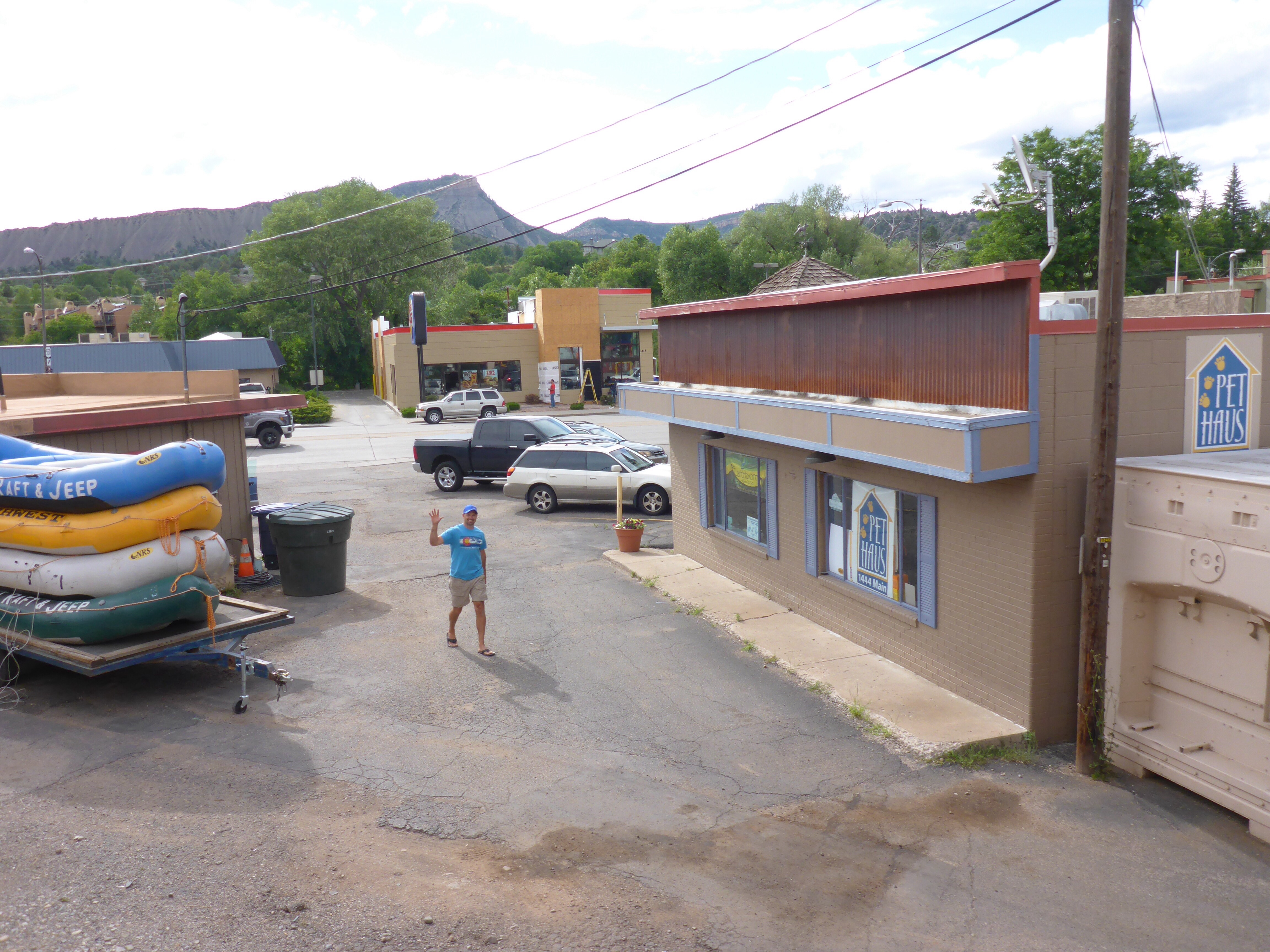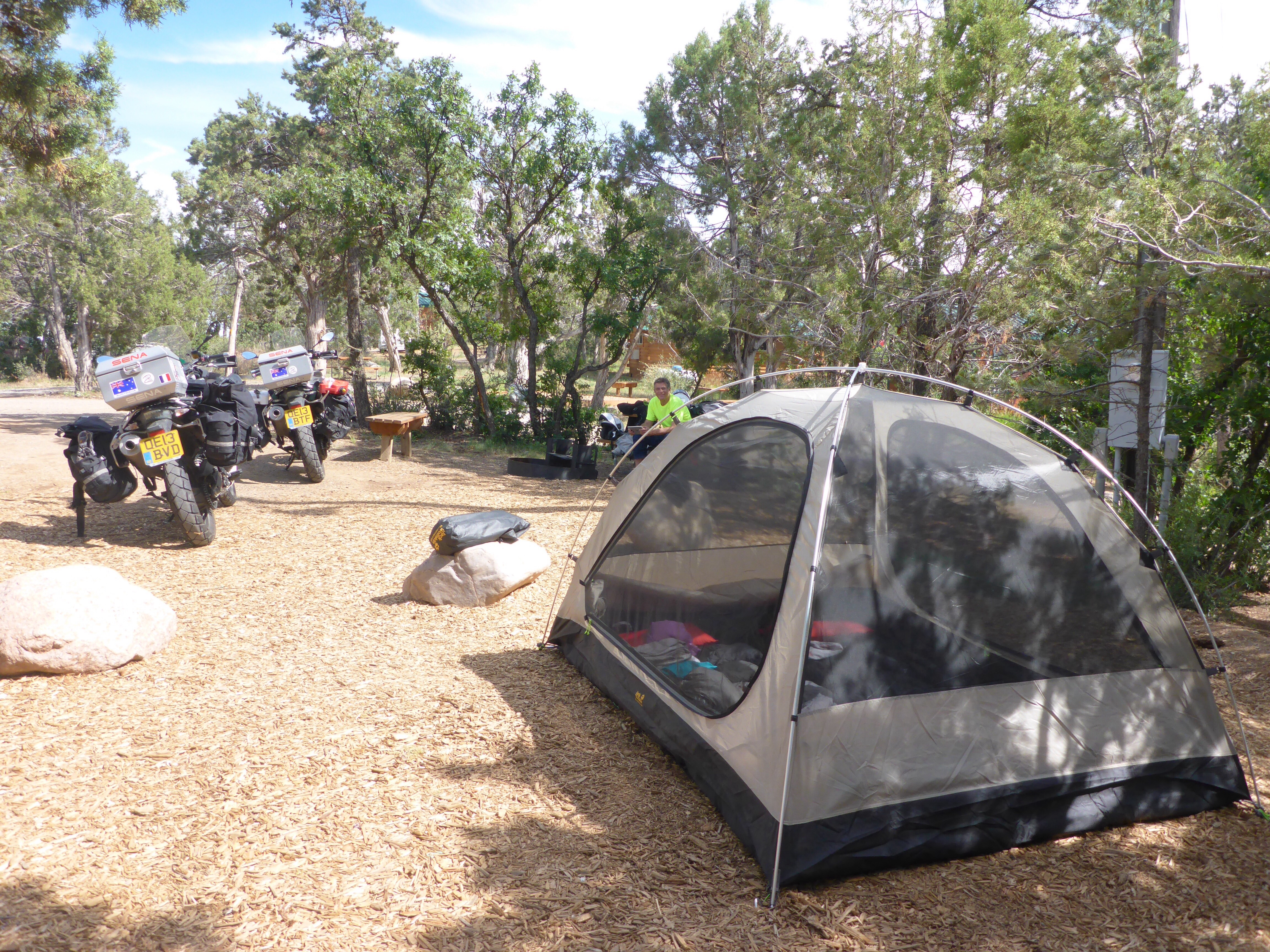
Our departure from our Durango campsite is delayed by our meeting lovely Dave and Elaine from Conneticut whom Anthony met and spoke to on the way to the shower block this morning. They have dropped by our tent to give us their address should we need a place near New York or need anything. They are riding on a Harley and heading to Utah so we give them one of our Butler maps as we are not going to Utah on this trip.
Elaine and Dave at KOA campground
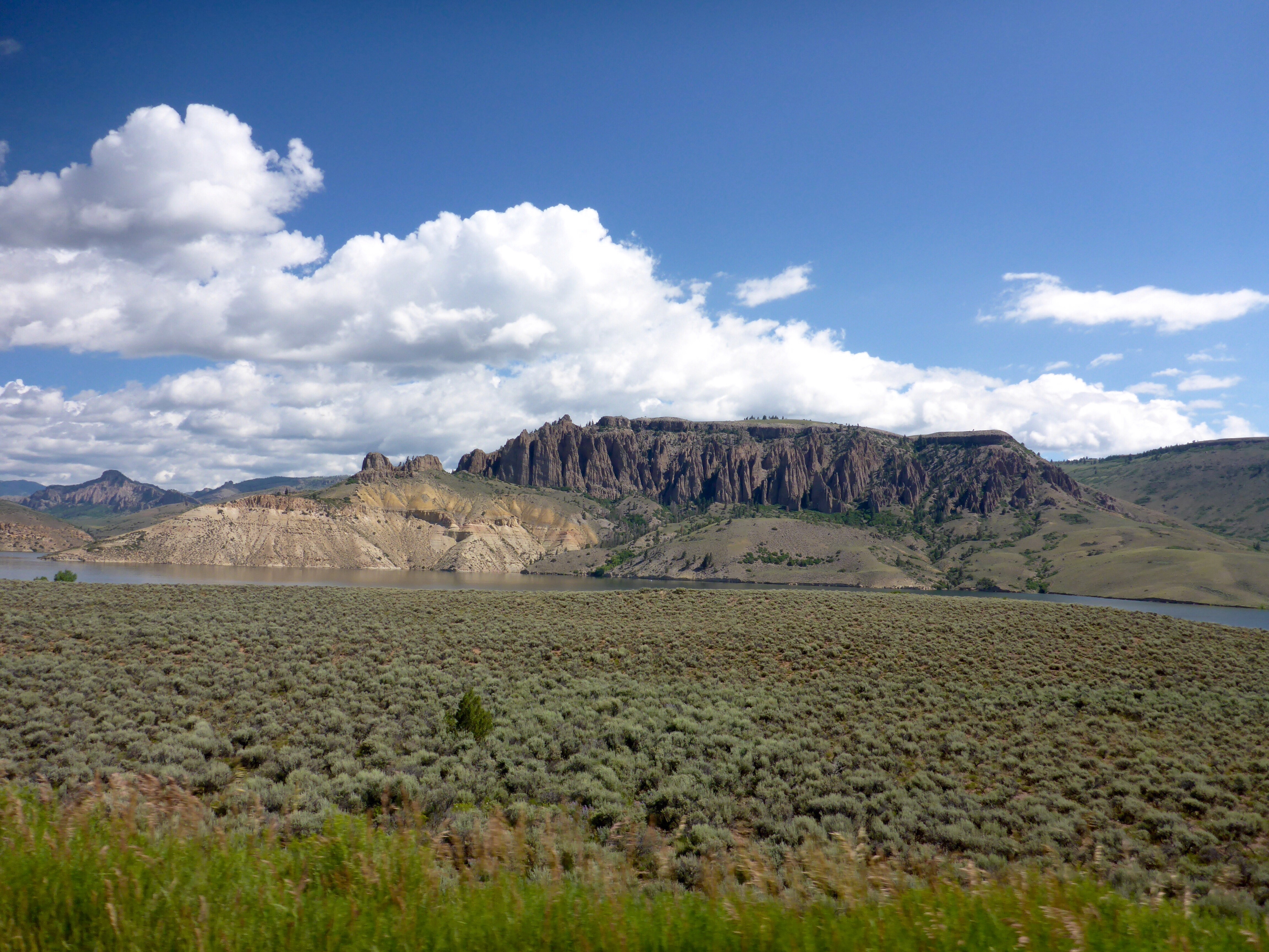
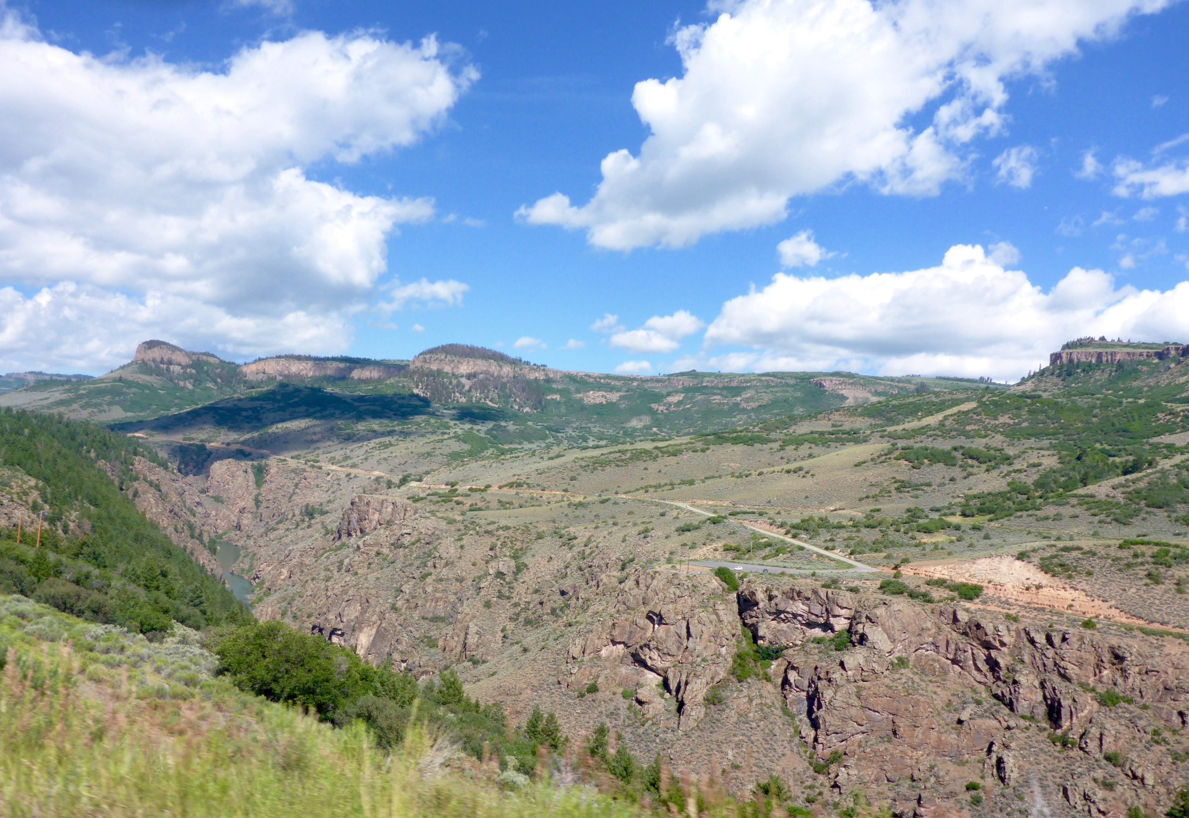
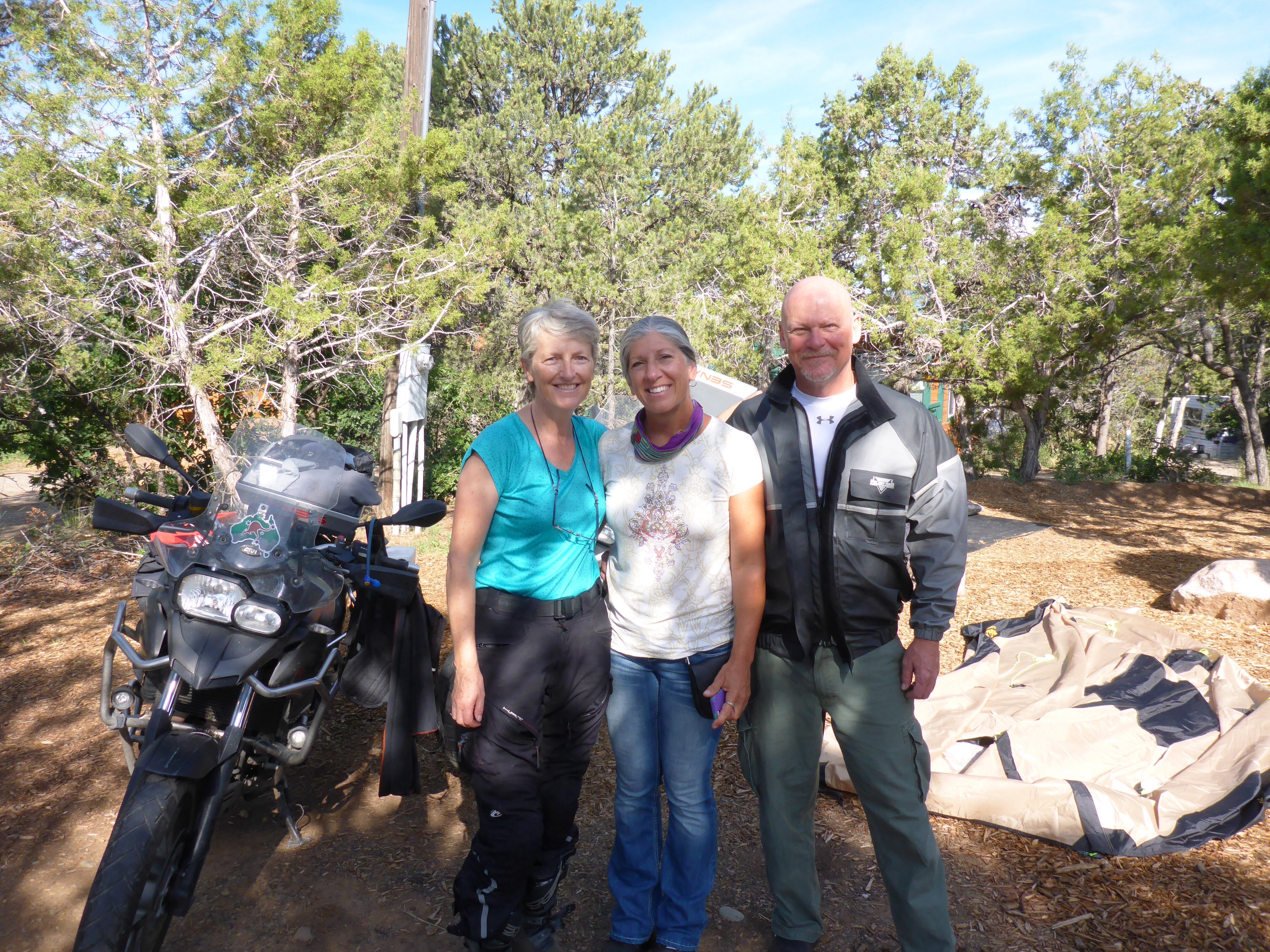
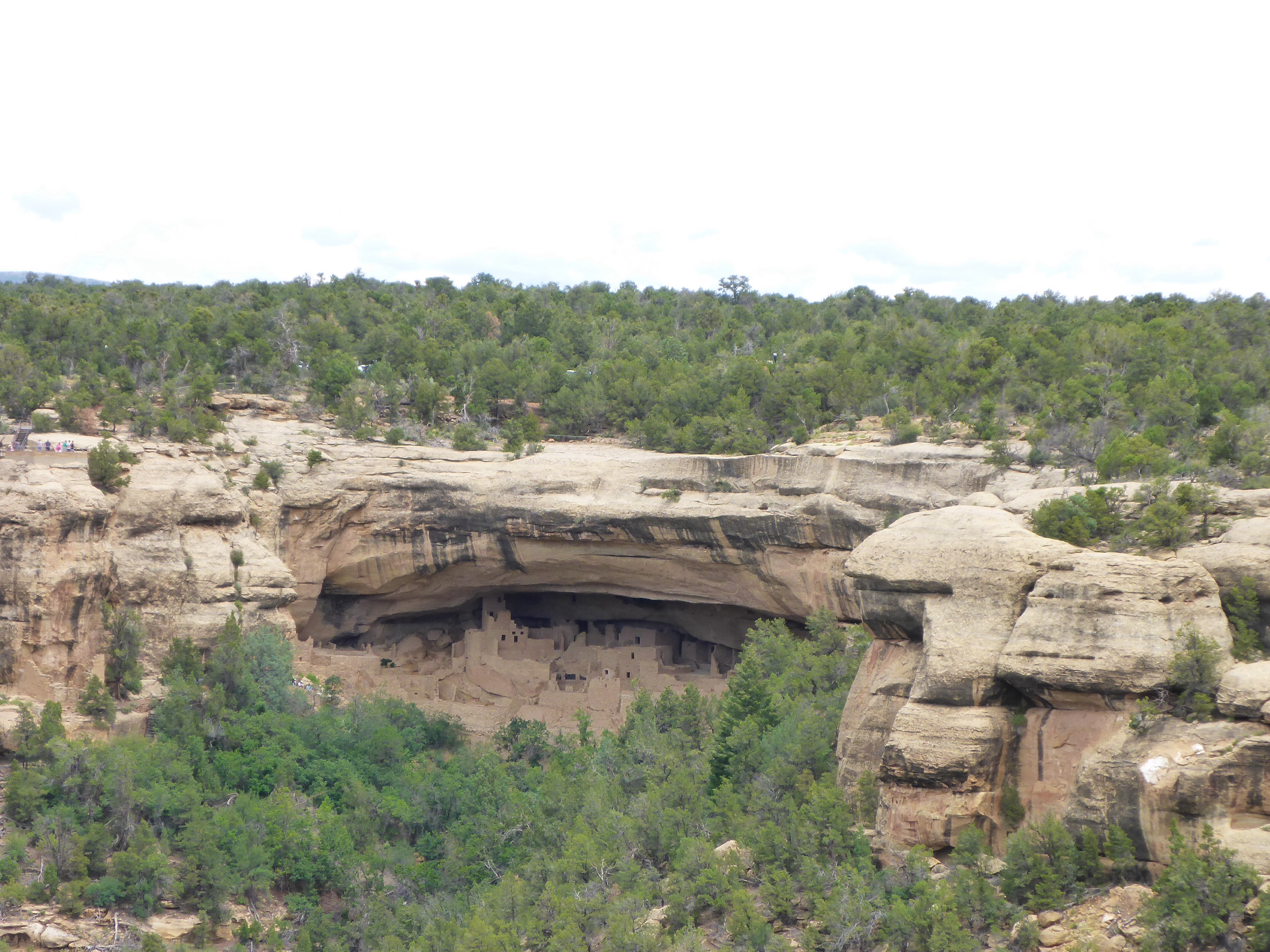
We decide to visit Meza Verde National Park outside Cortez. Another Unesco World Heritage site!! This park, created by President T Roosevelt in 1906, occupies 52,485 acres and protects some of the best preserved Ancestral Puebloan archeological sites in the US, with more than 4,000 and 600 cliff dwellings. Check out wiki for more info. It takes an hour to get from the entrance to the first dwellings, so a minimum of 3 hours is required to drive around, more if you visit any of the cliff dwellings. Being peak season, it is too late for us to book a tour of the main dwellings. So we drive around and stop at the numerous viewing points and short walks. That alone was well worth it. As we get to the museum and look for a parking spot, we bump into Dave and Elaine, who kindly leave us their parking spot – perfect timing and fun to see them again!

Mesa Verde, Colorado
Mesa Verde National Park
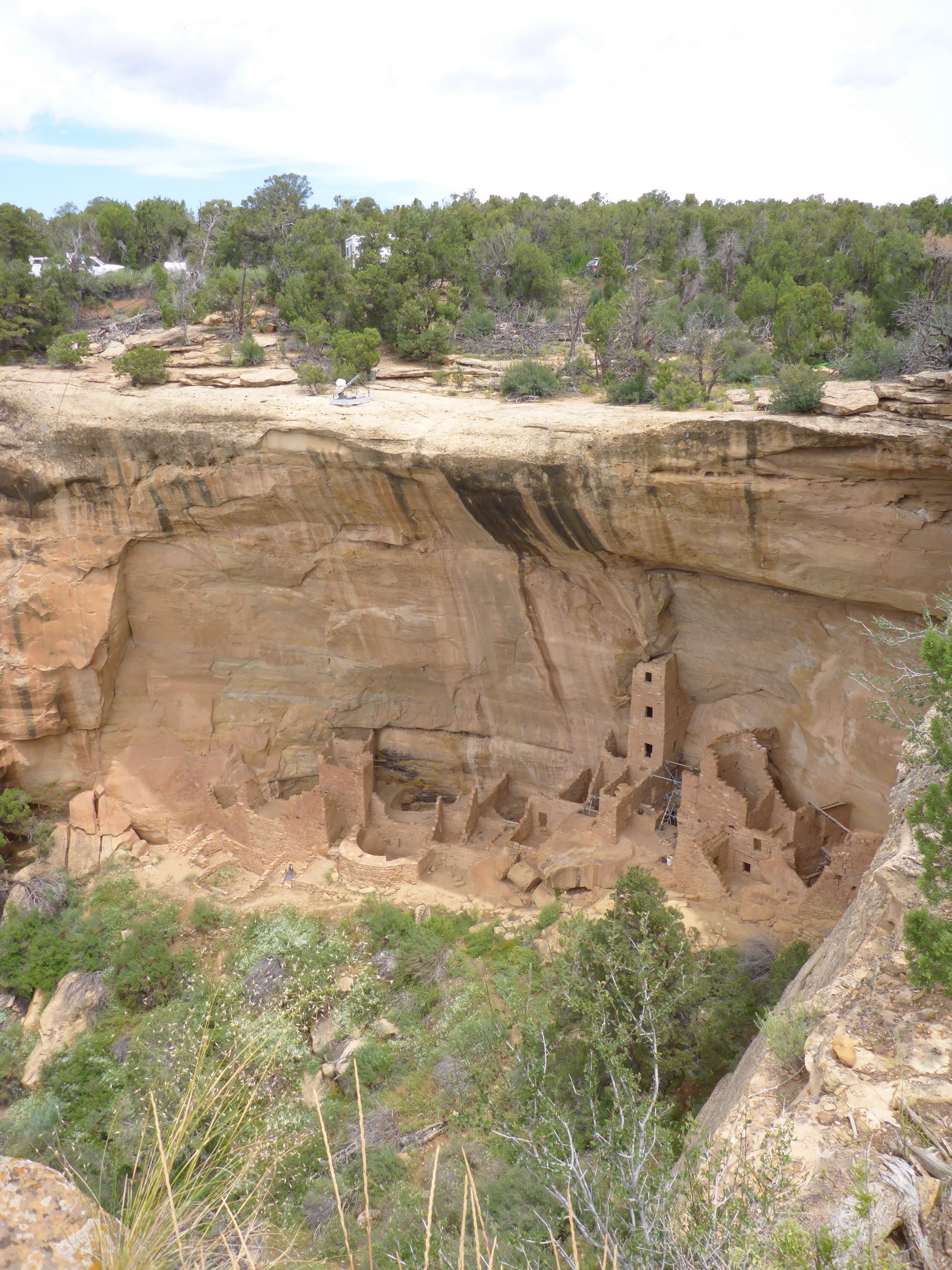
Cliff dwellings at Mesa Verde National Park

Cliff dwellings at Mesa Verde National Park

Cliff dwellings at Mesa Verde National Park

The Balcony at Mesa Verde National Park
The Palace at Mesa Verde National Park
An early stop and night in Cortez as they are predicting afternoon storms today and a clear day tomorrow. We have our now traditional tub of hummus, crackers and mango juice from Walmart for dinner.
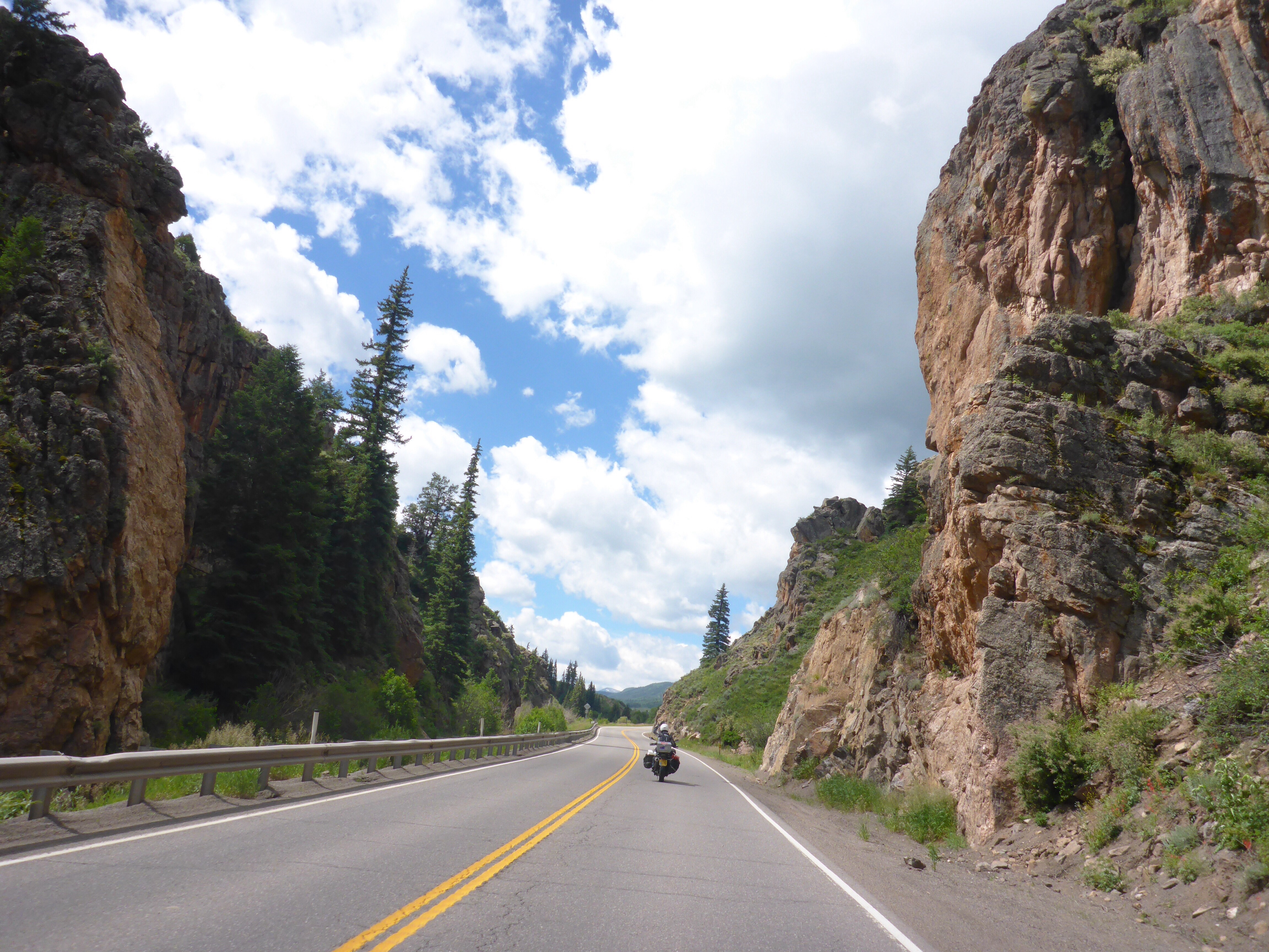
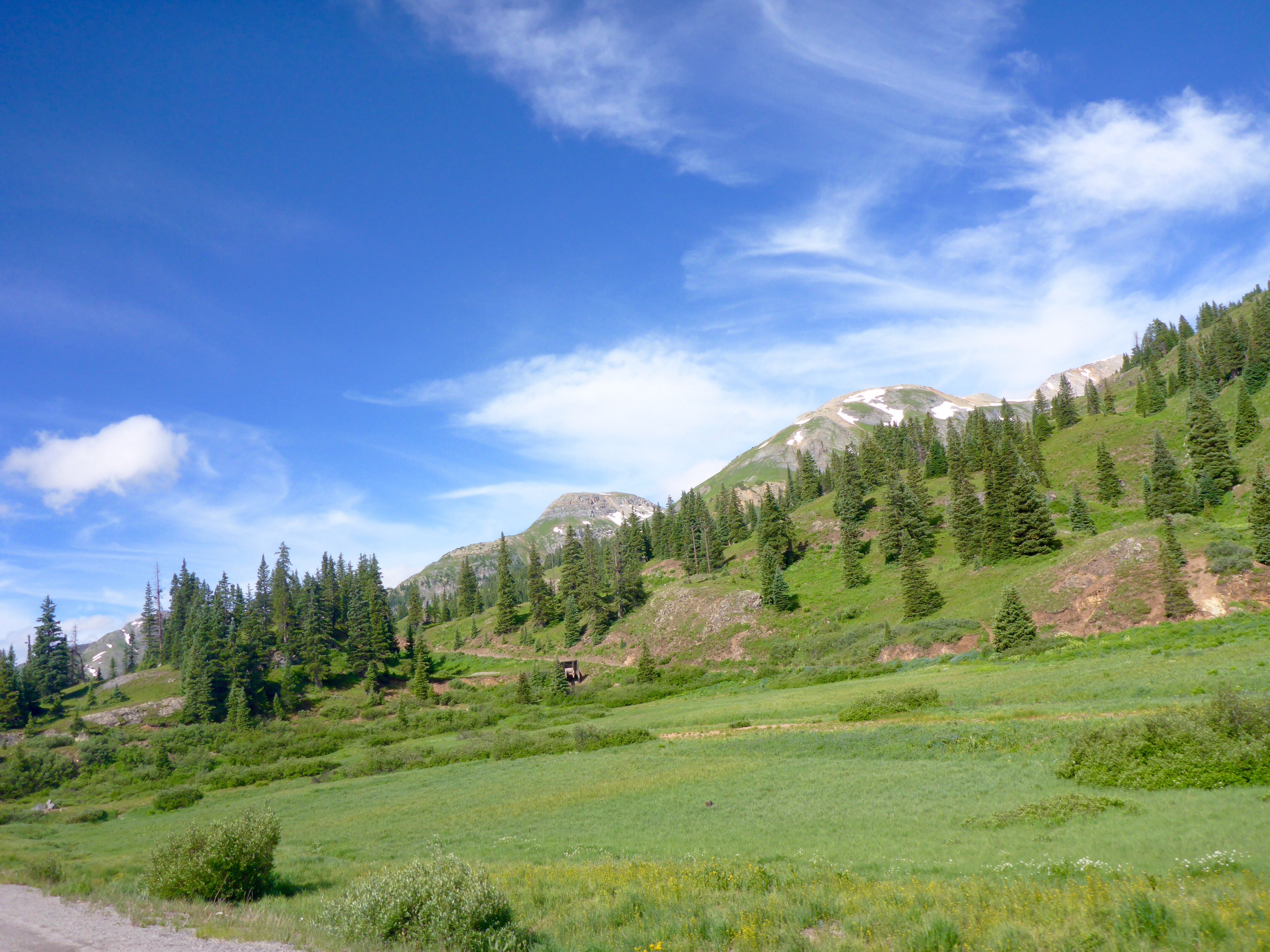
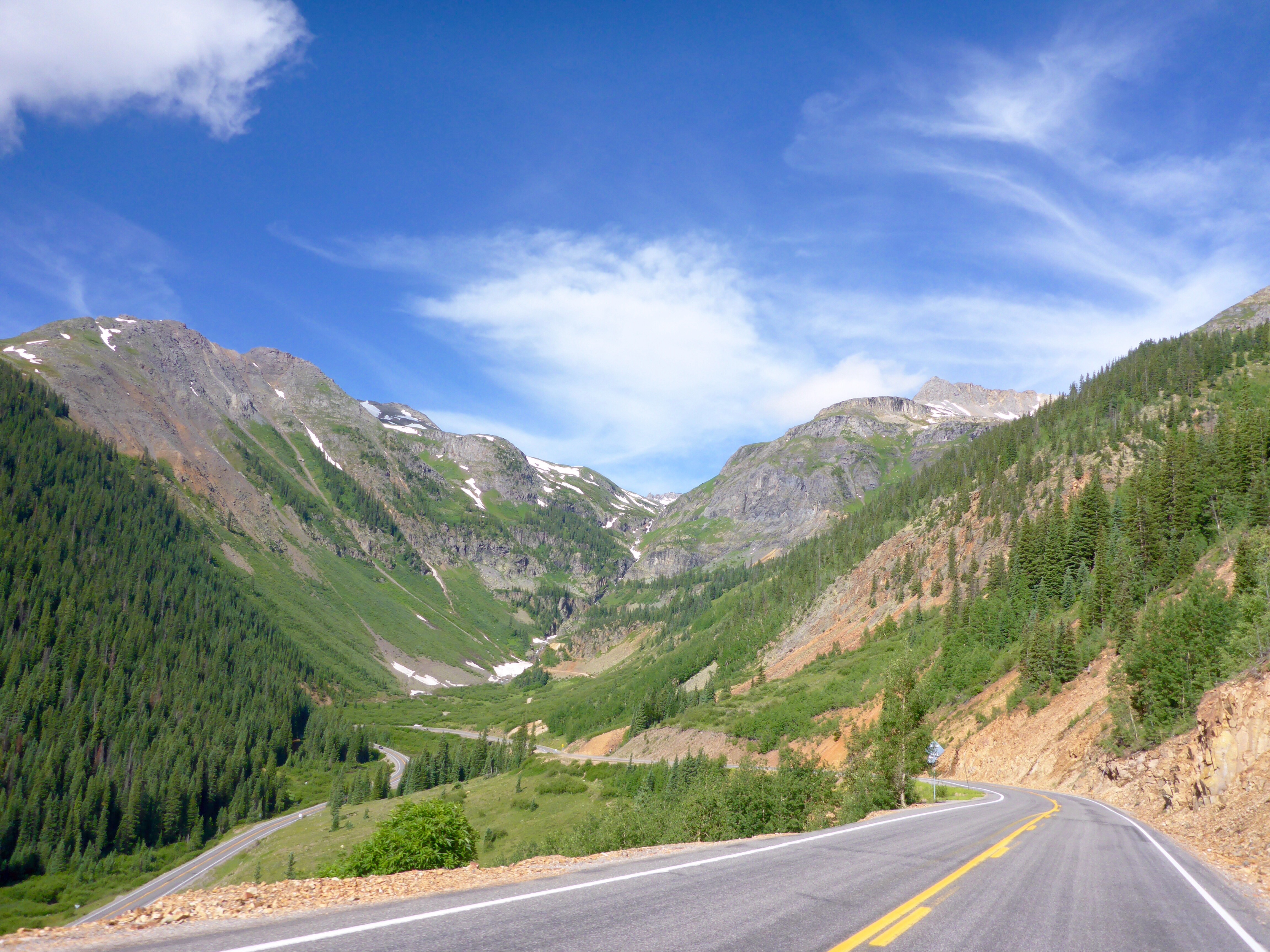
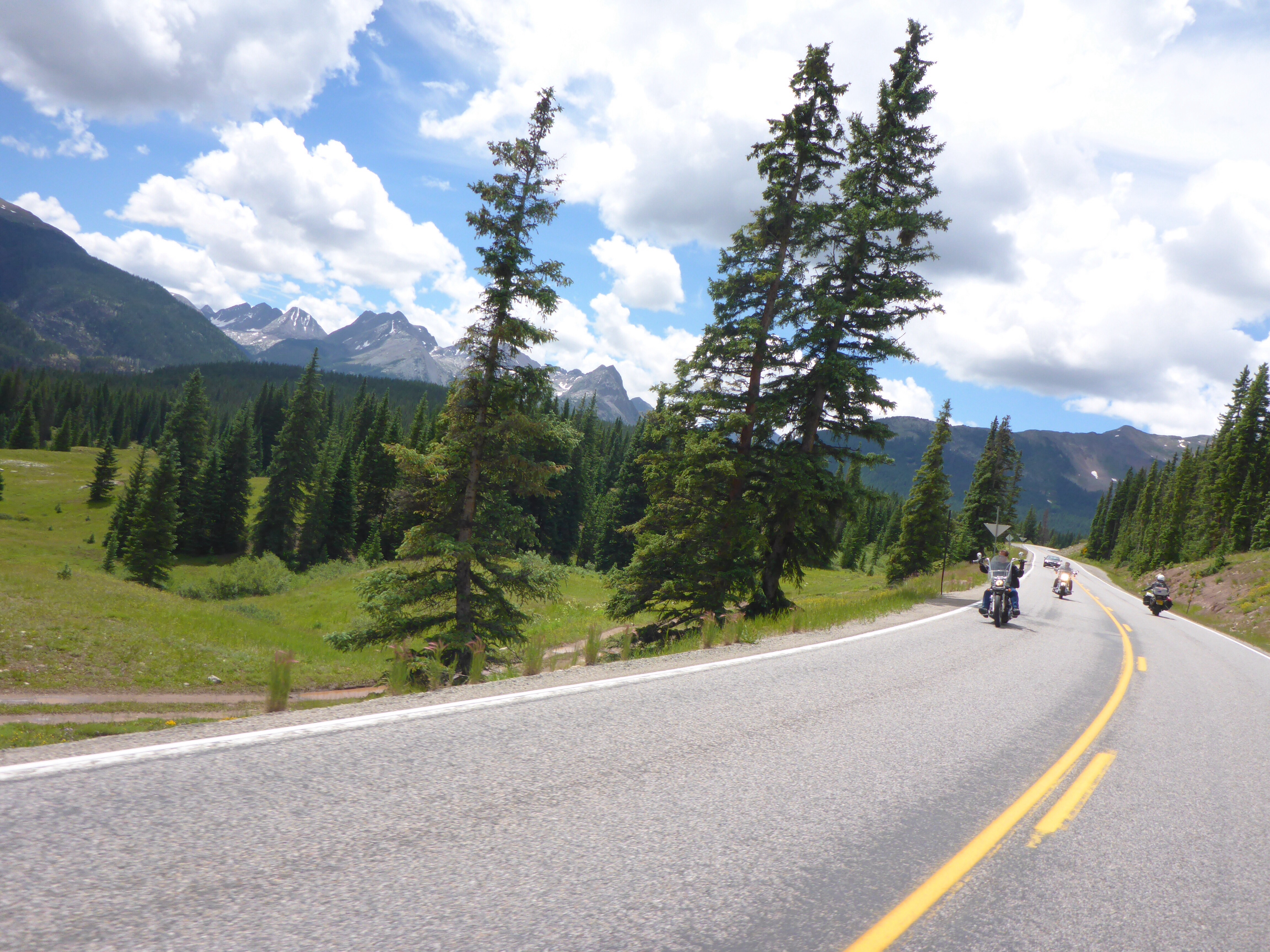
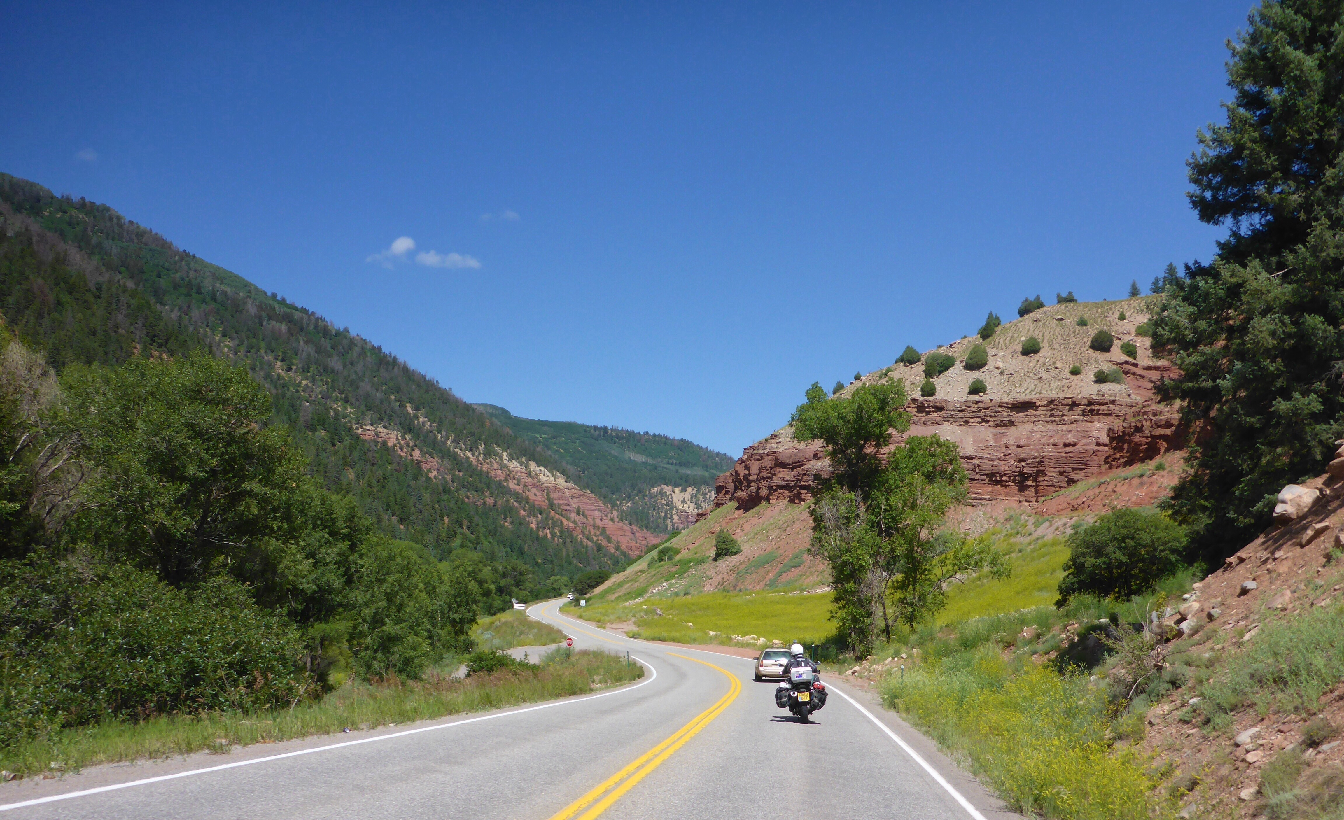
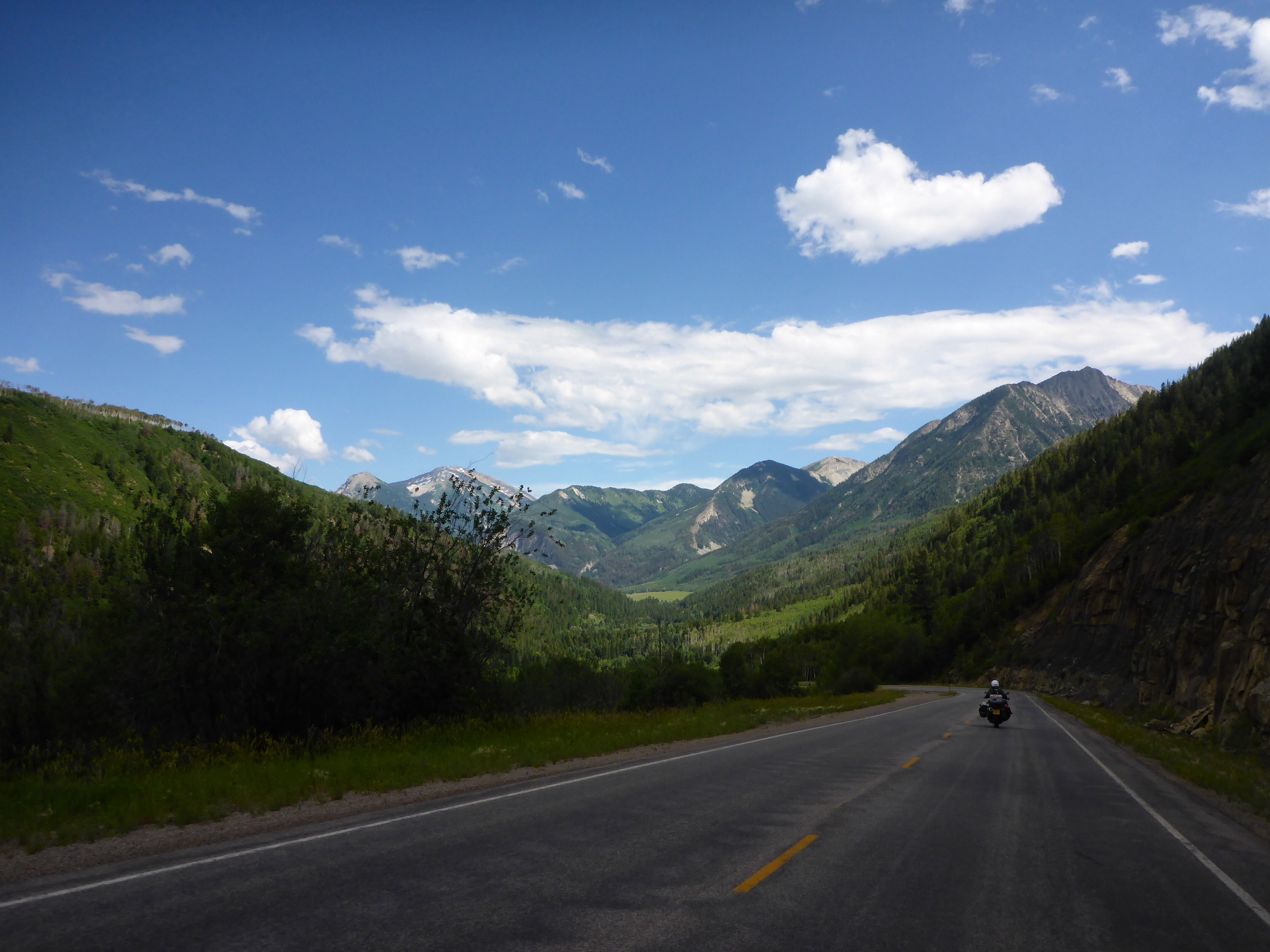
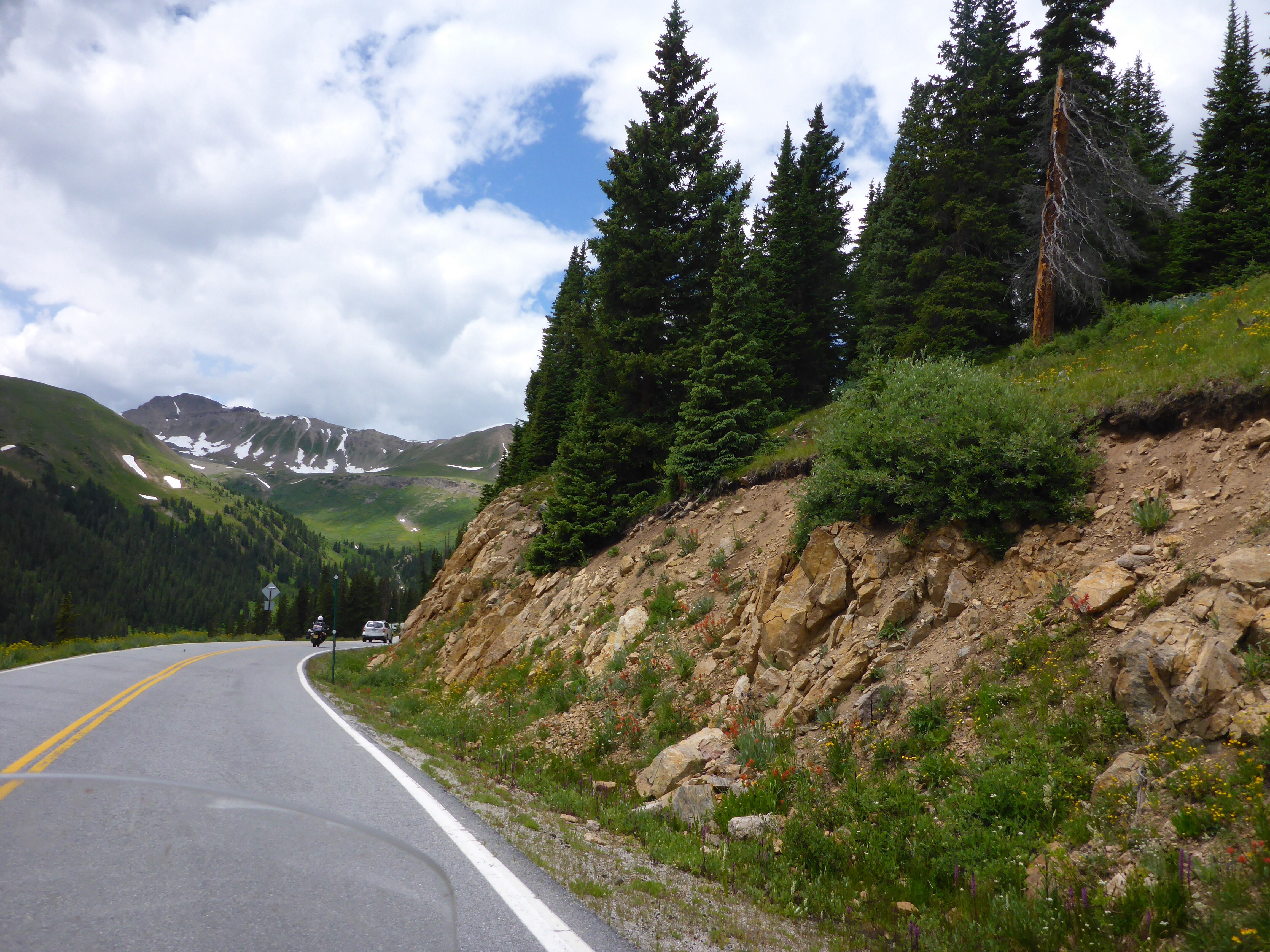
Up early, we head out of Cortez on route 145 through Lizard Pass, another stunning ride – thank you Butler maps!!

Colorado wildflowers

Heading to Lizard Head Pass

San Juan National Forest along CO145

Rico, Colorado

Up to Lizard Head Pass

Lizard Head Pass

Cahone, Colorado
Ophir, Colorado

Heading up to Telluride
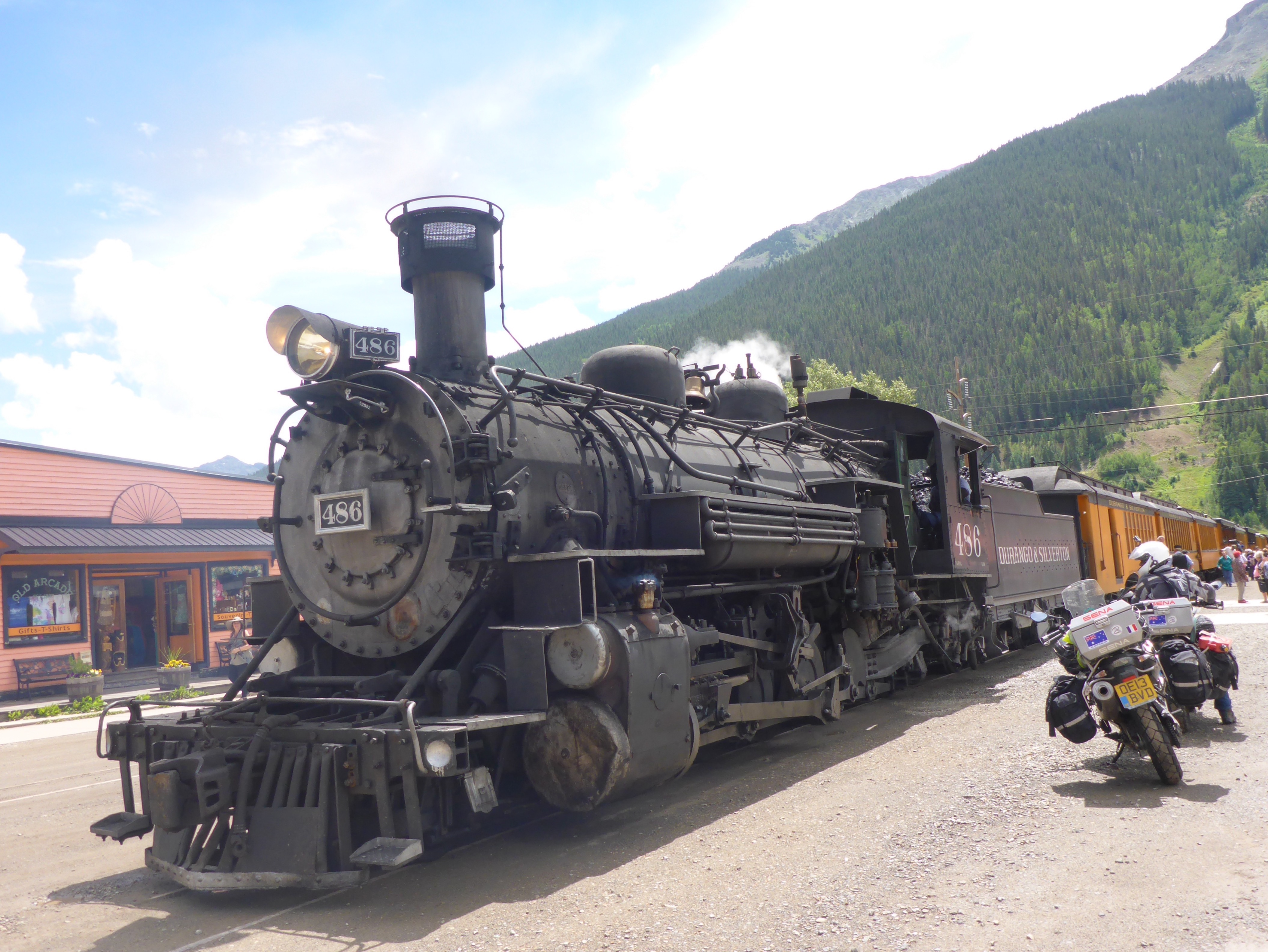
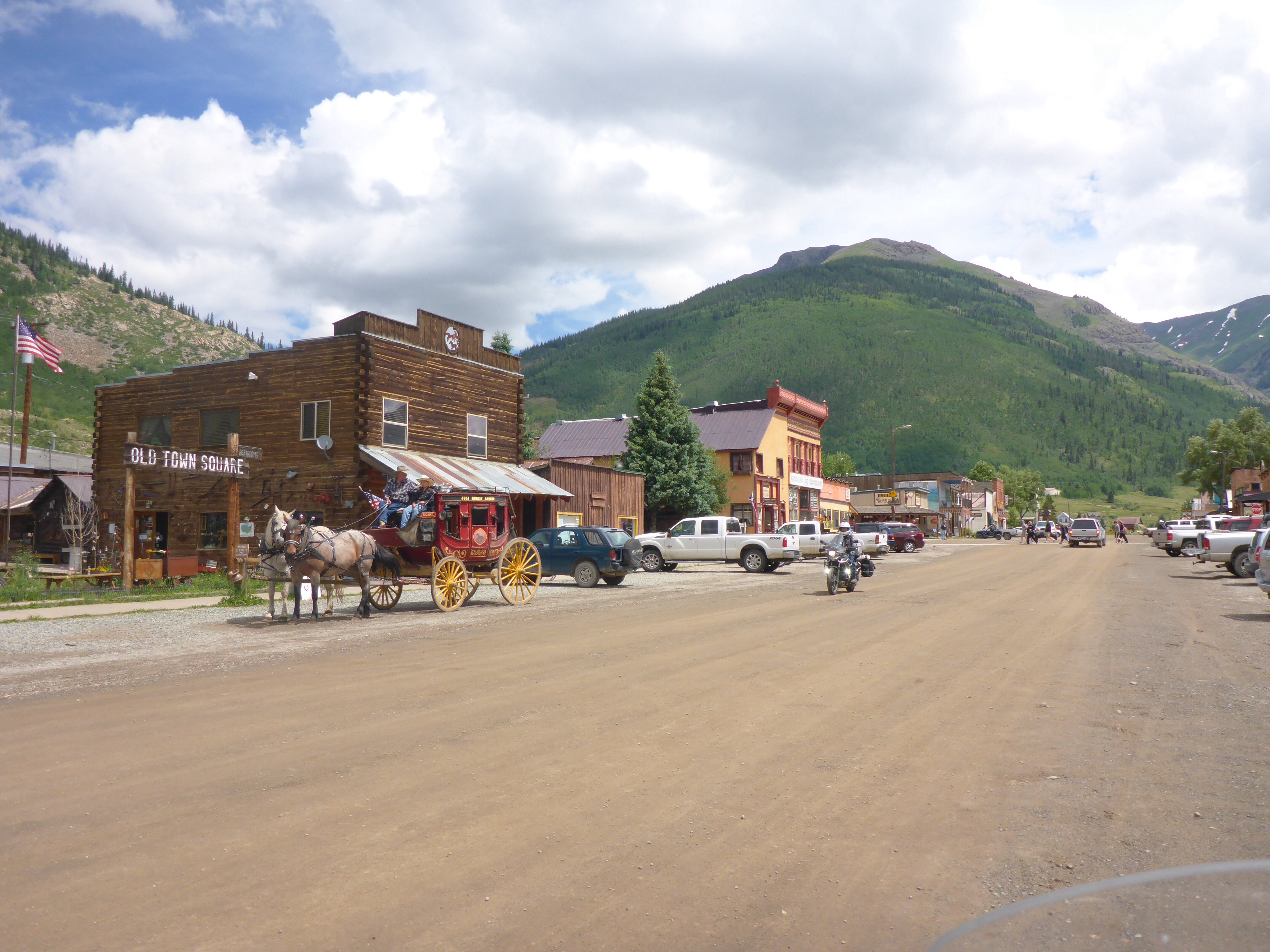
We stop at Telluride for morning coffee.
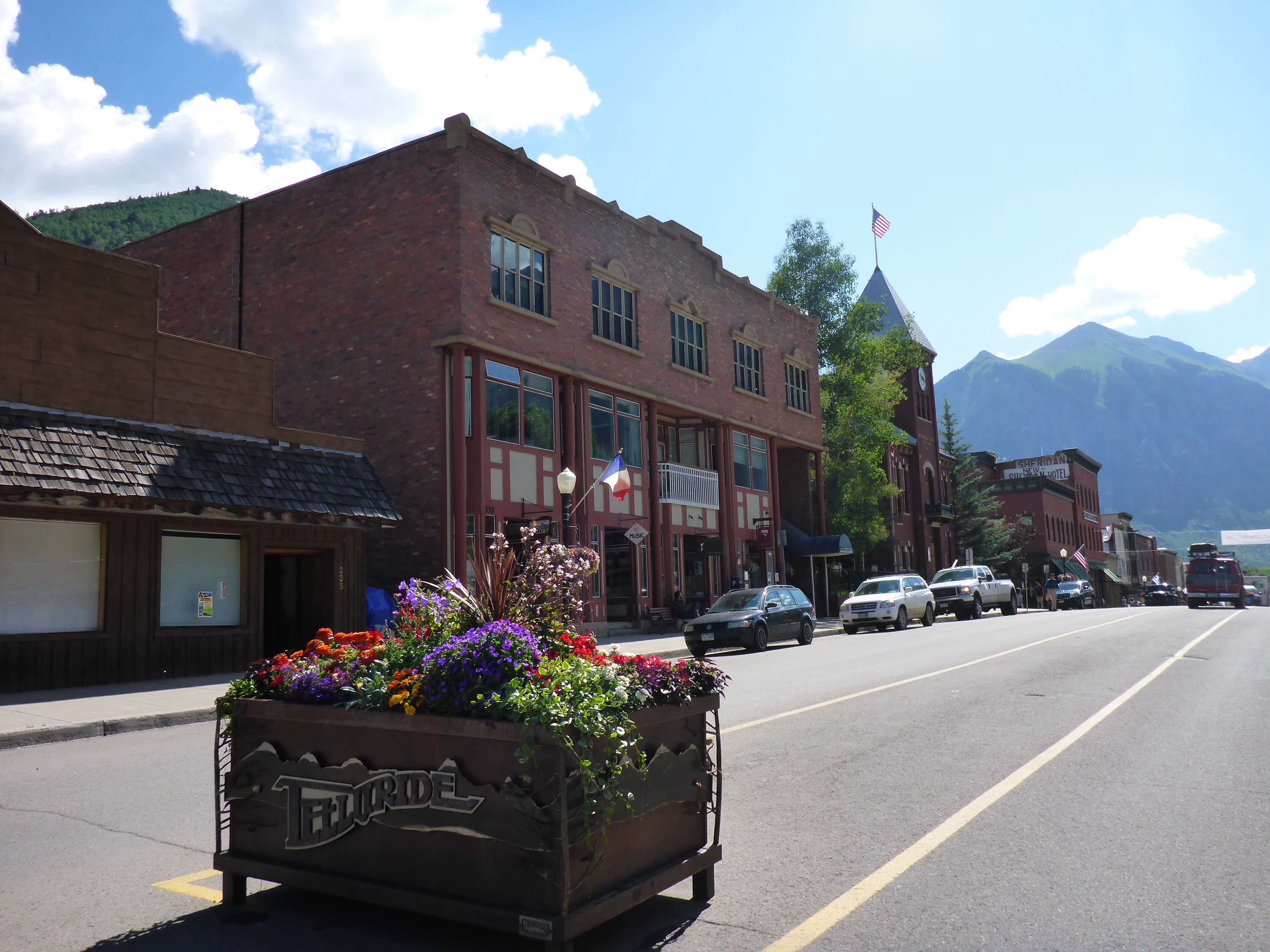
Telluride, Colorado
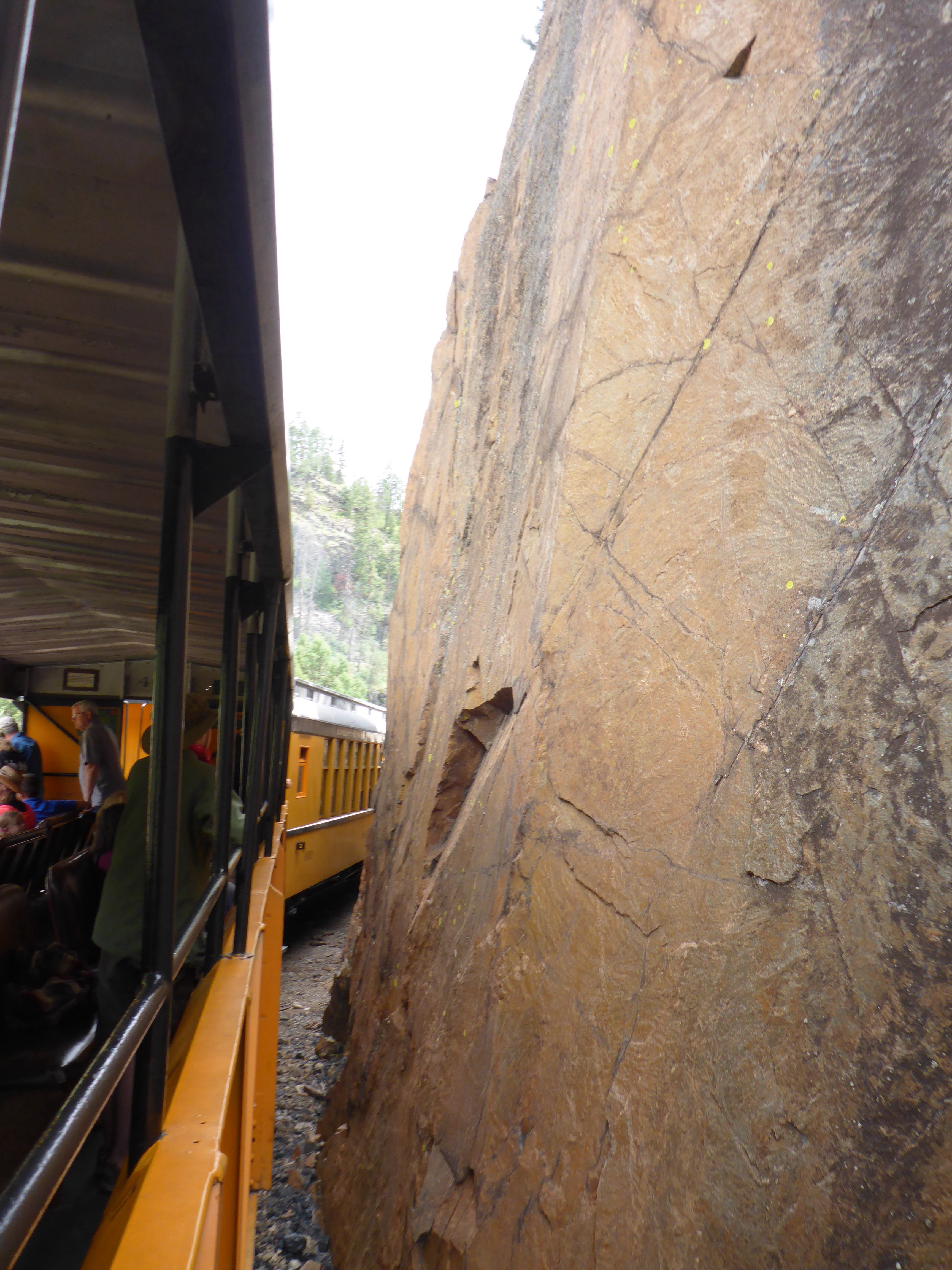
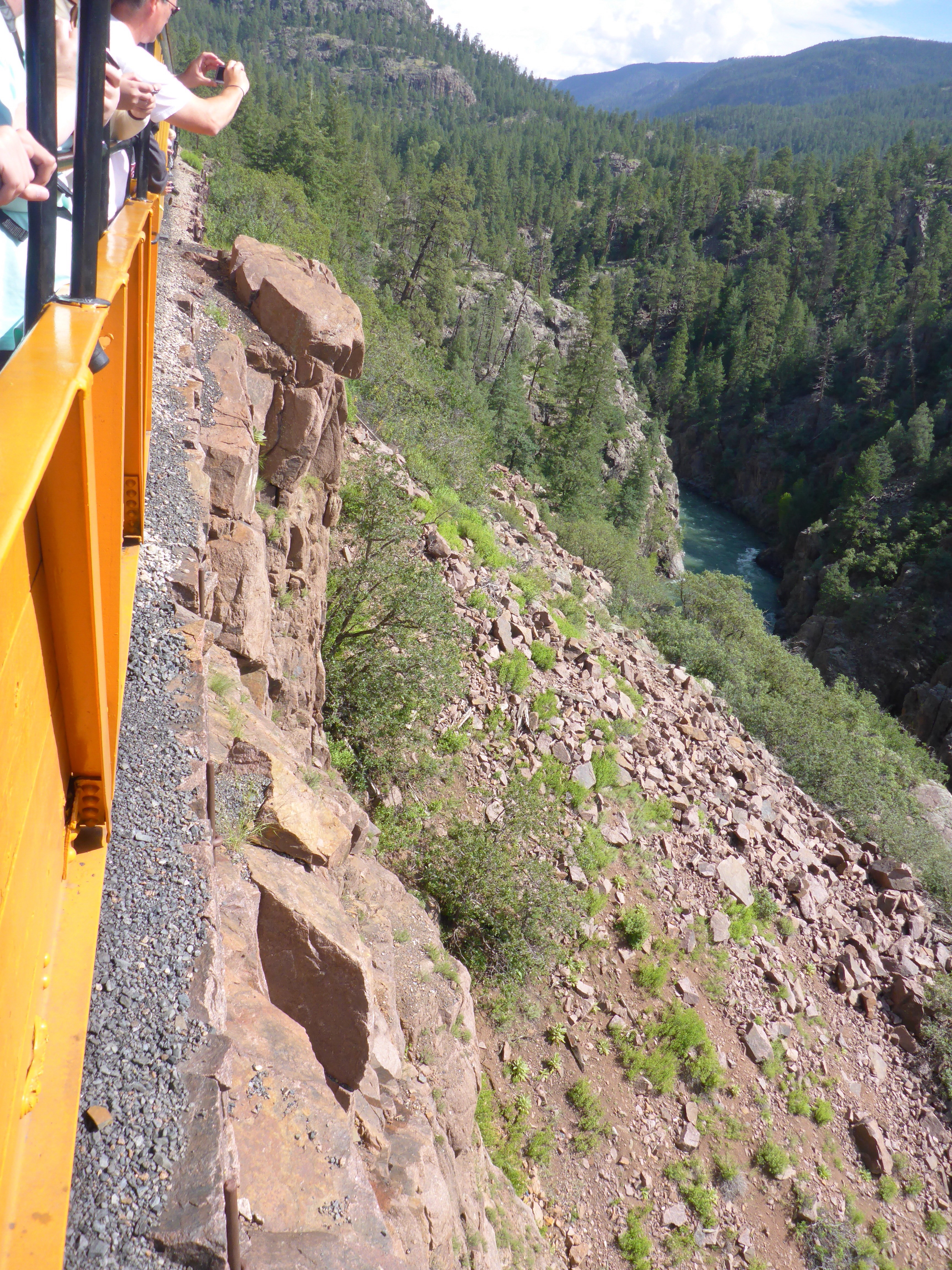
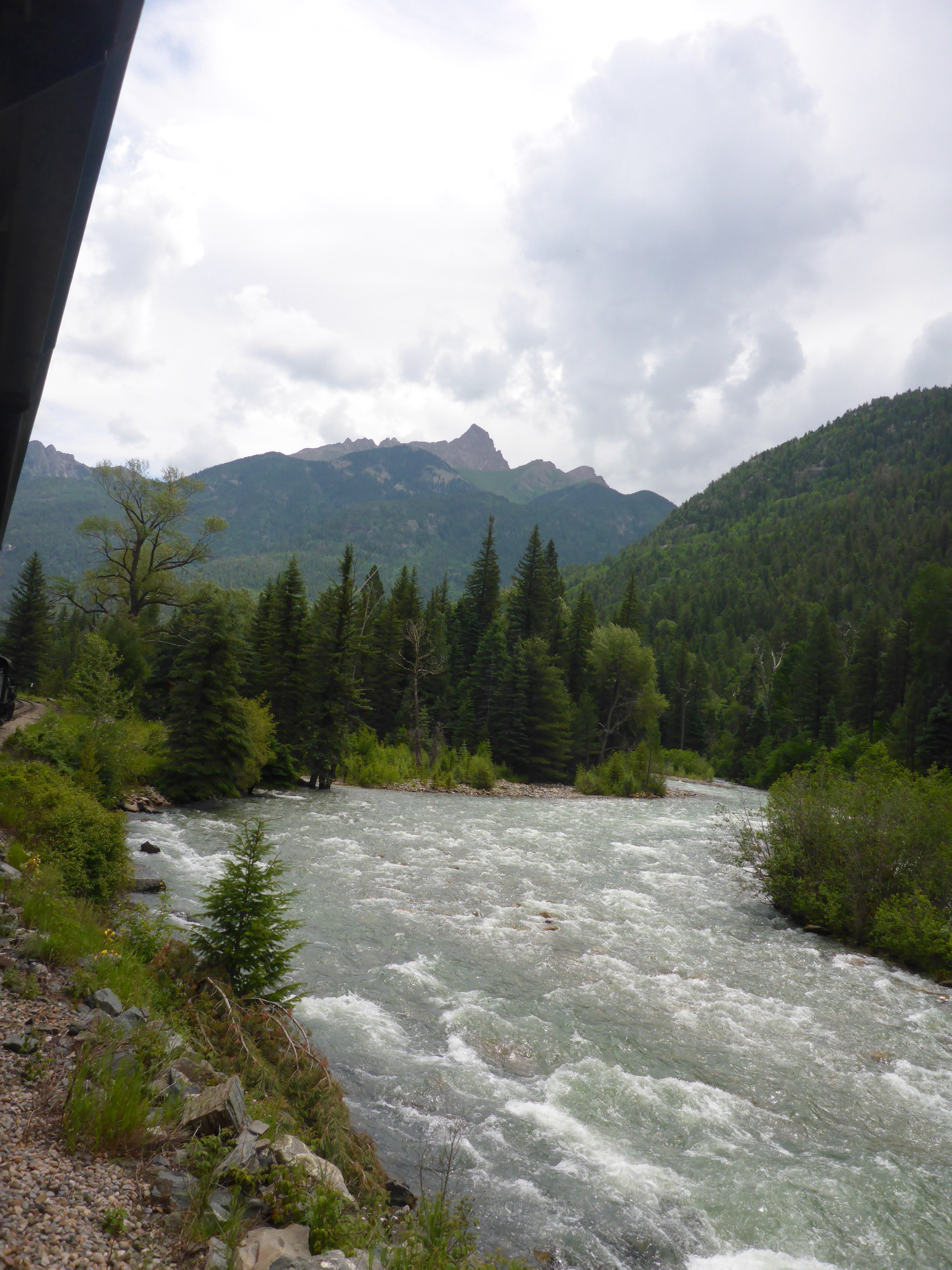
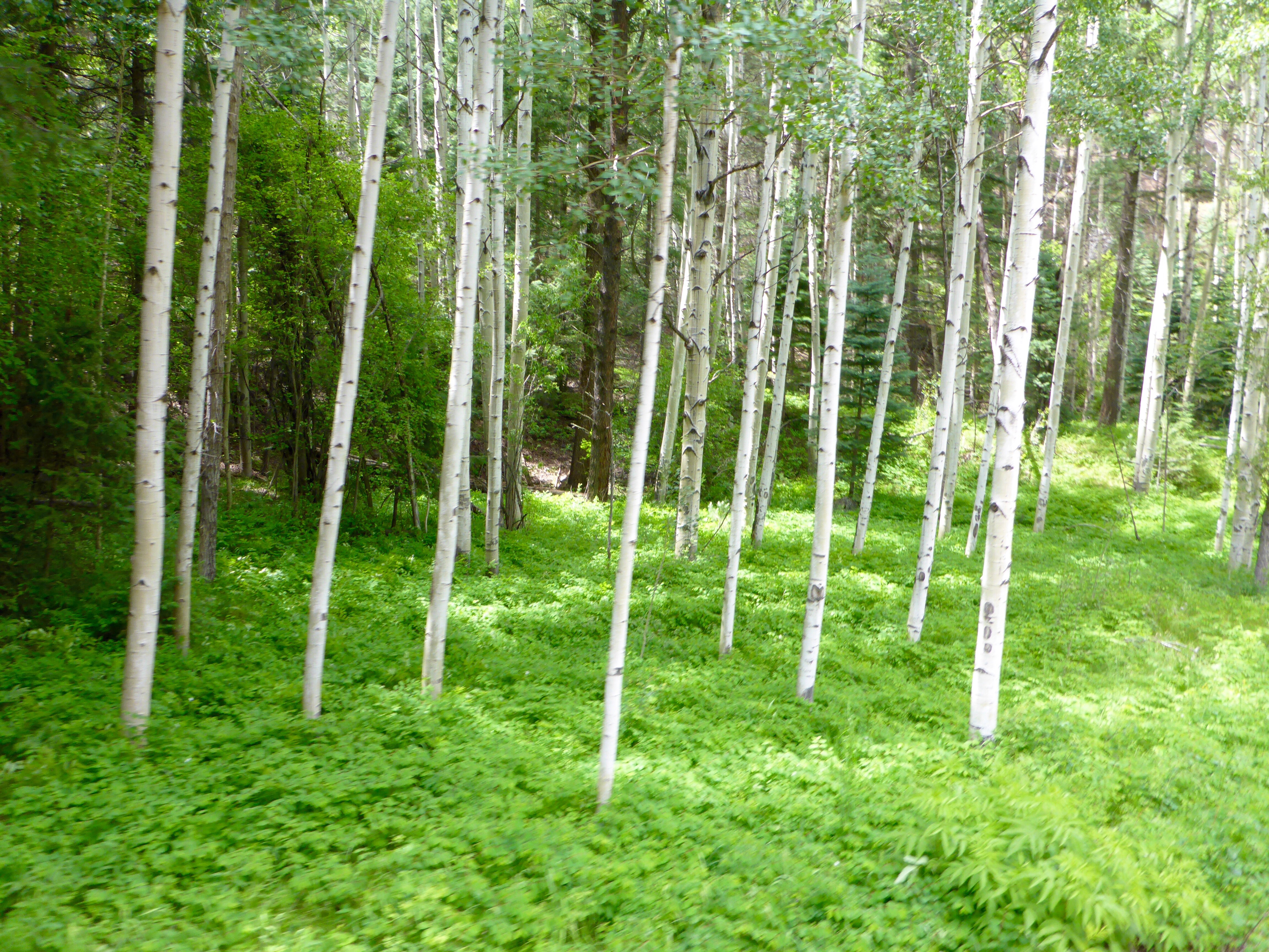
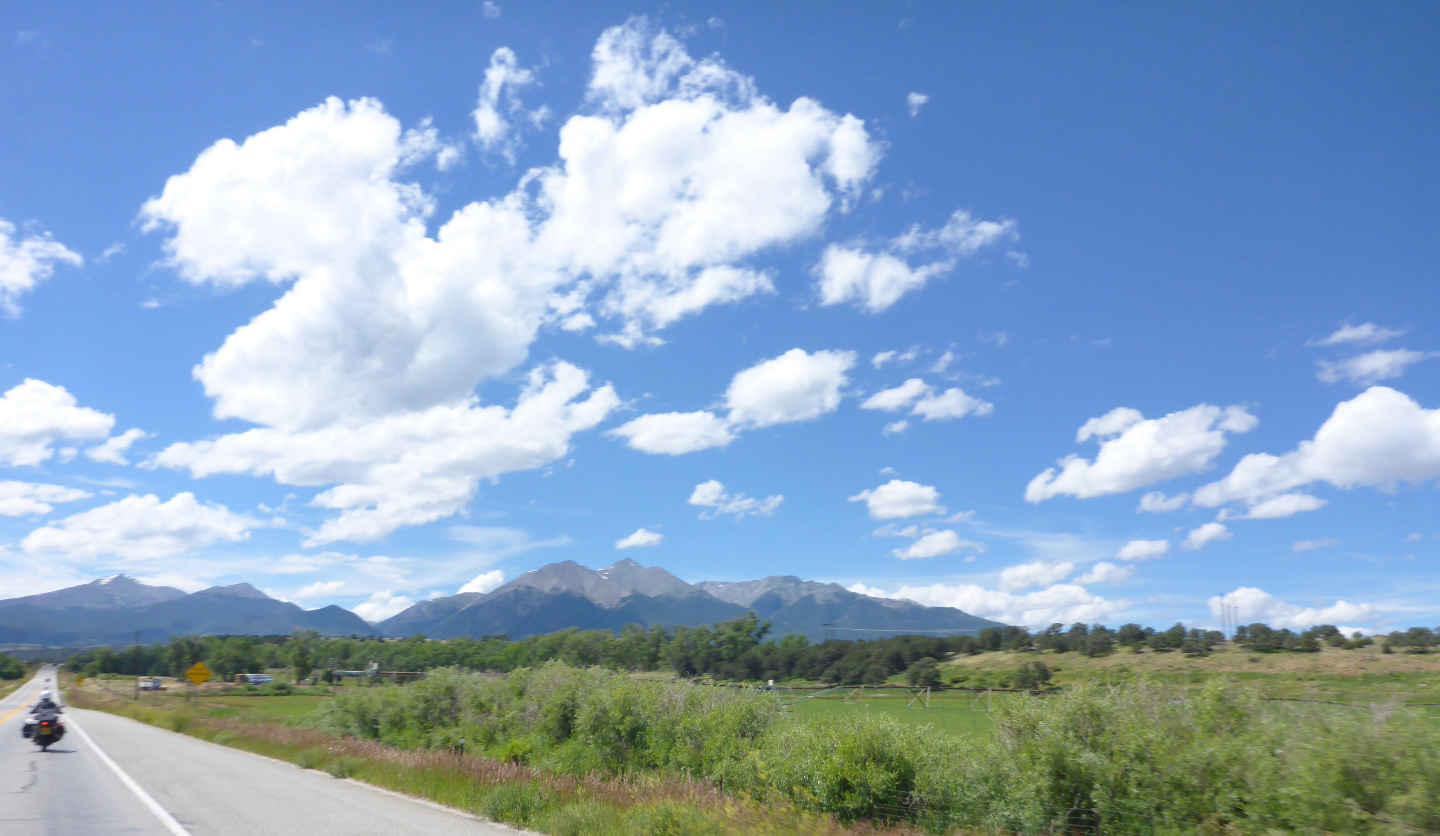
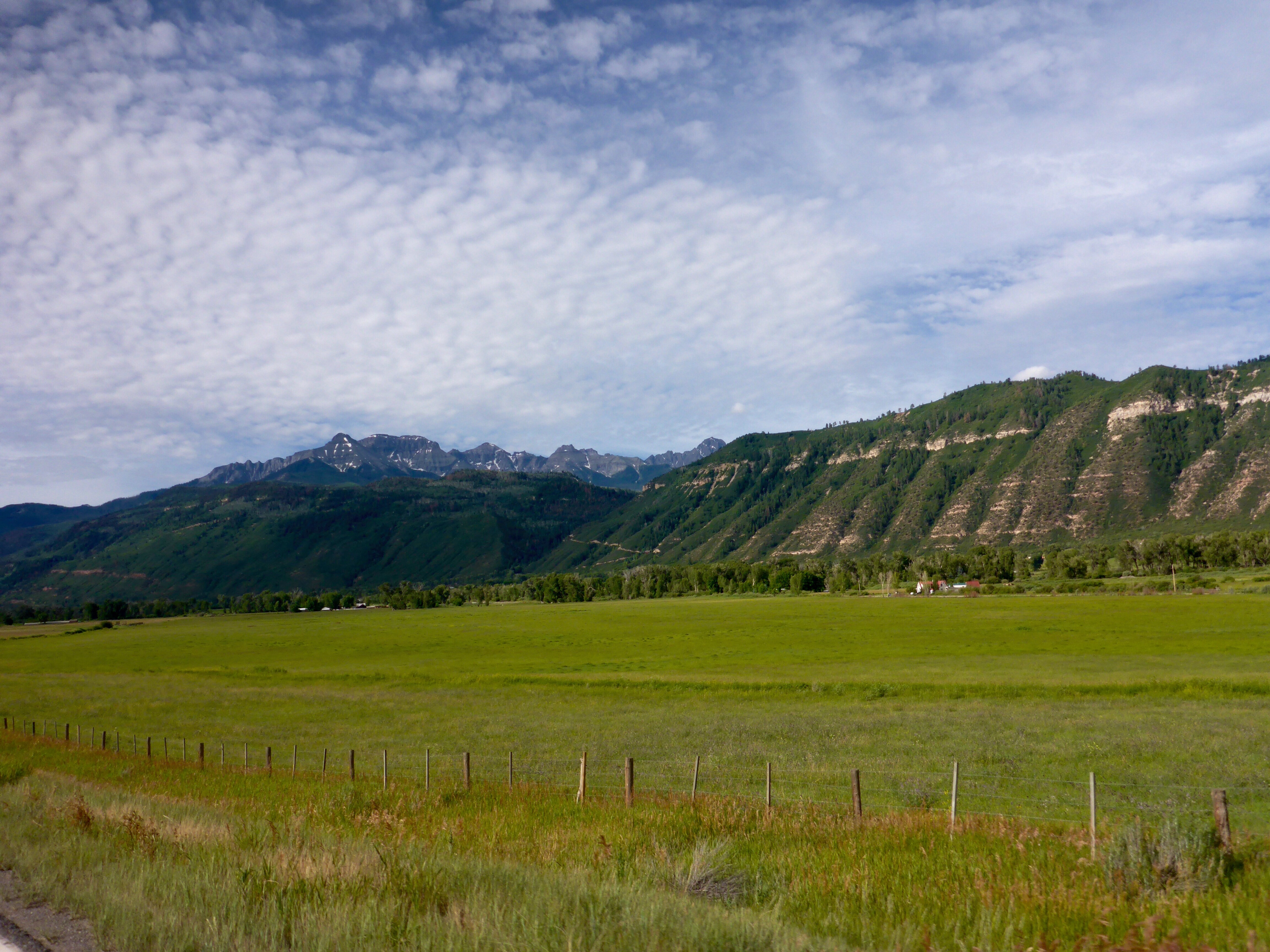
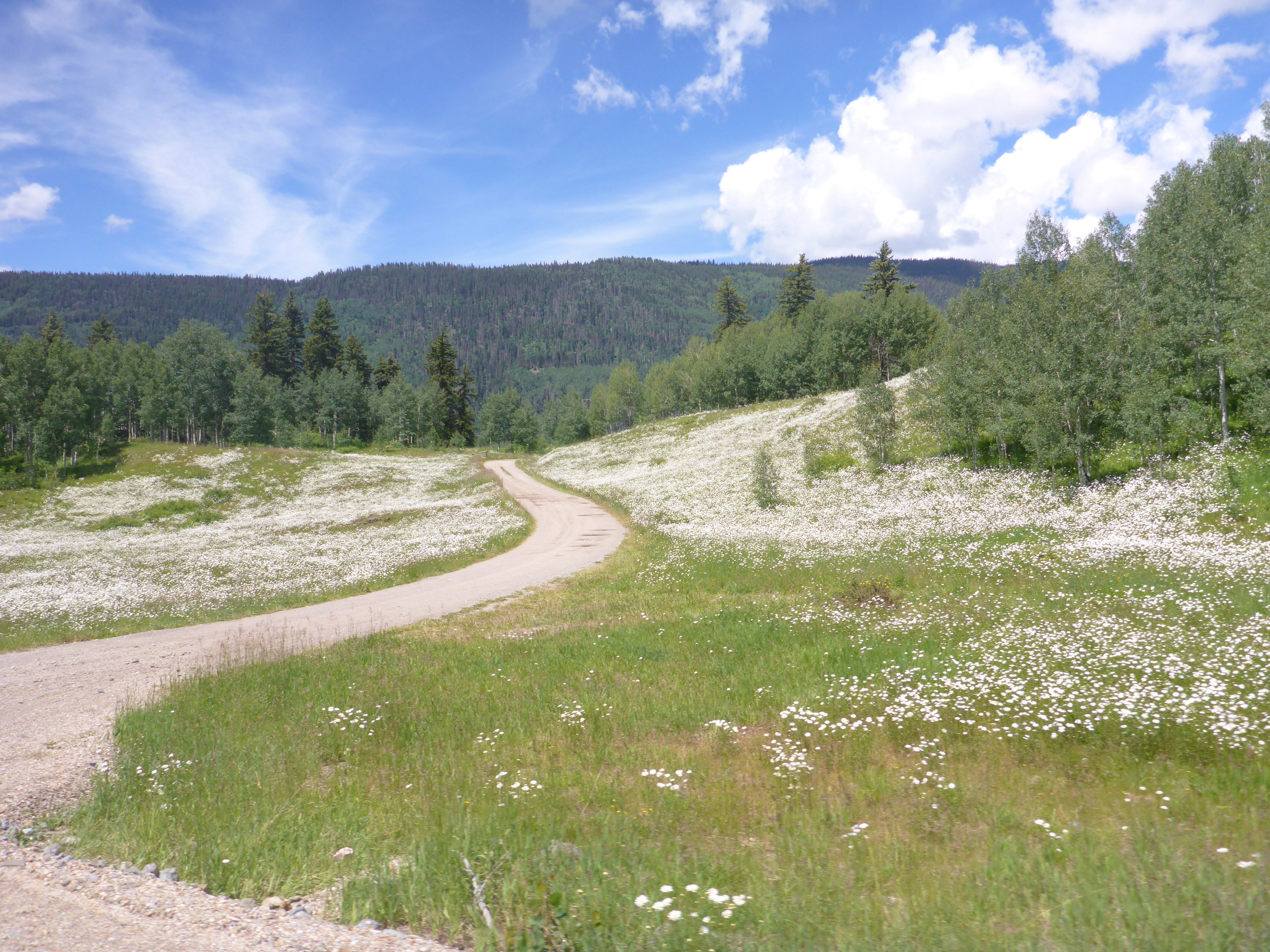
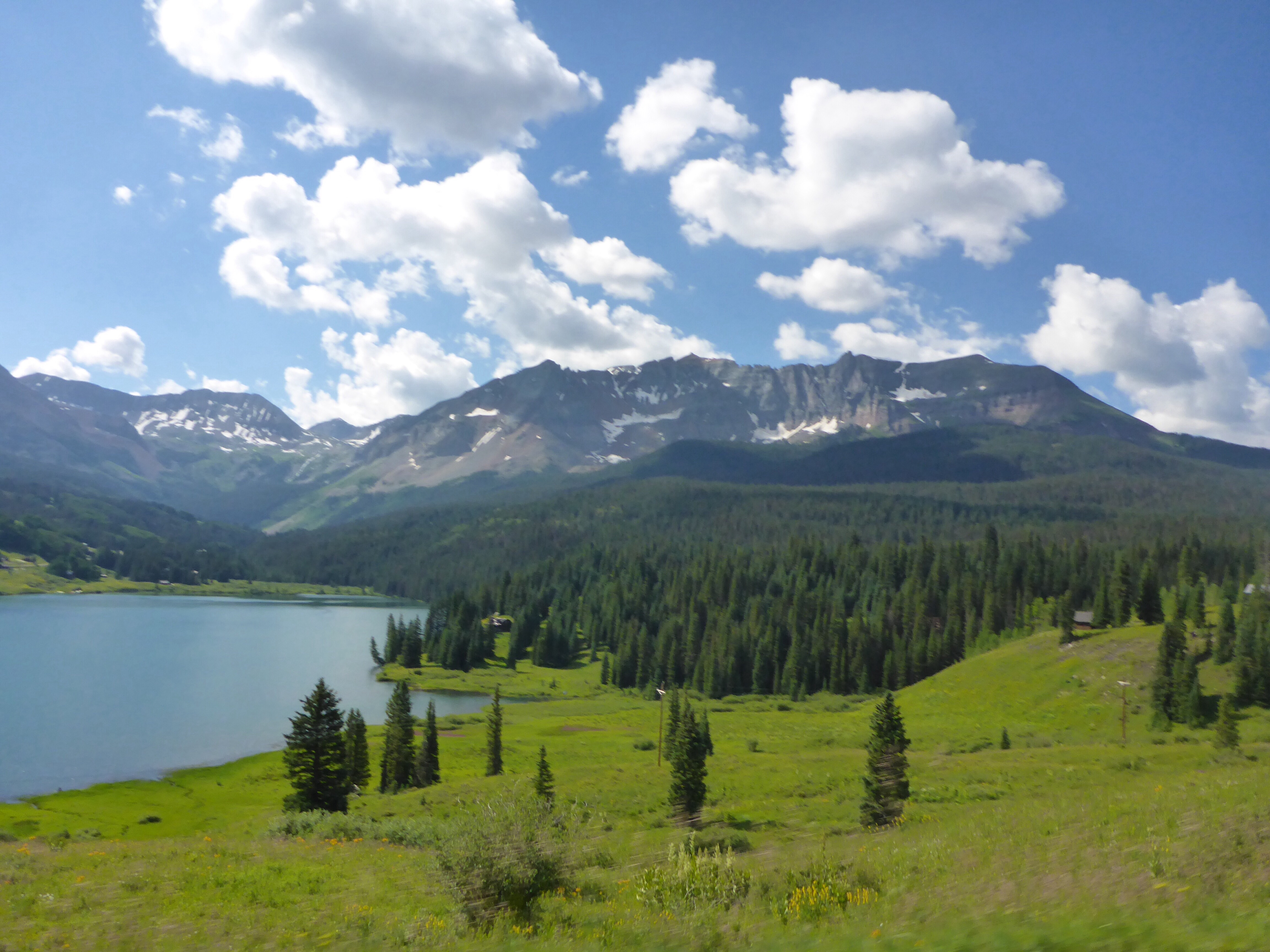
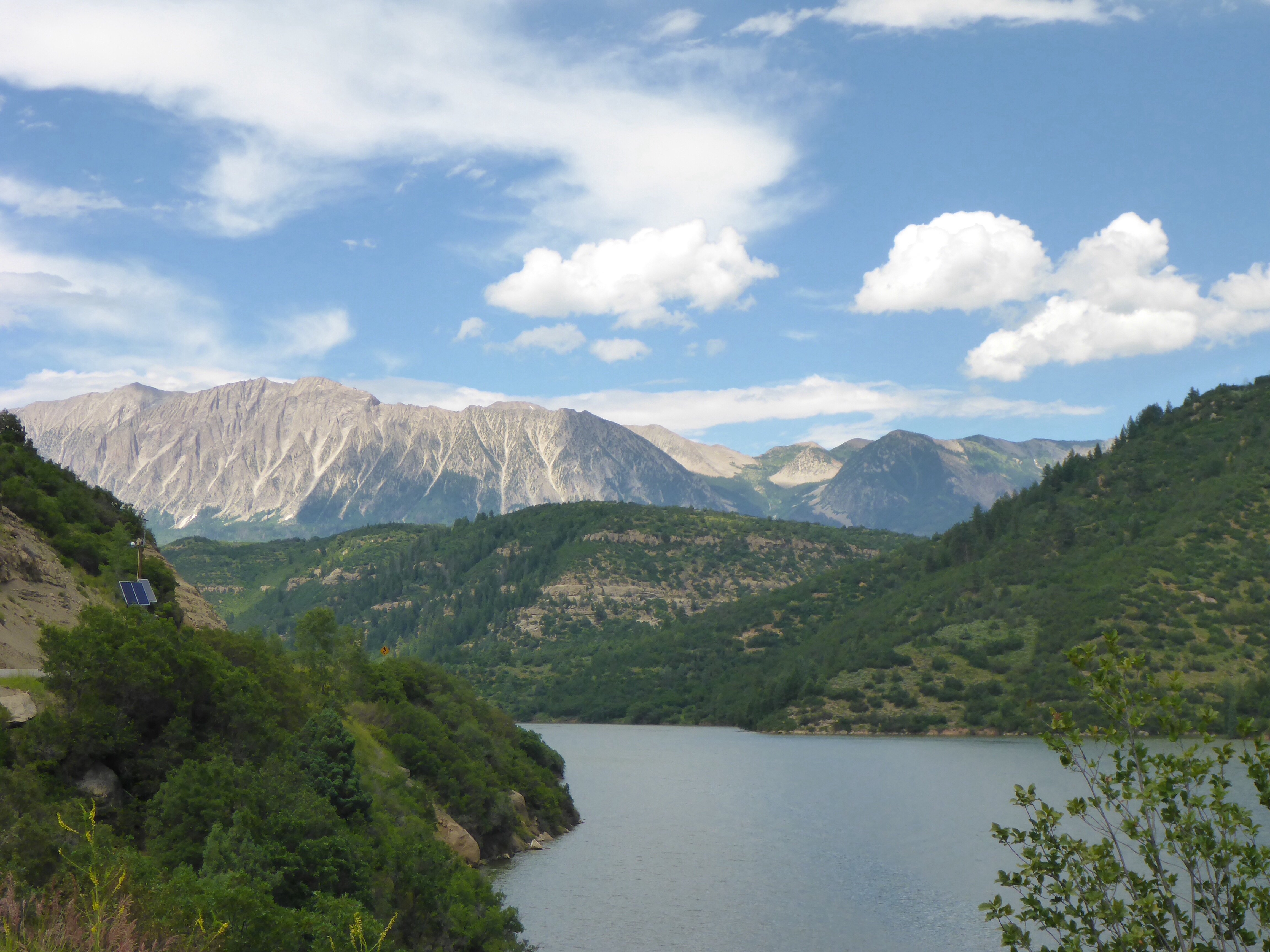
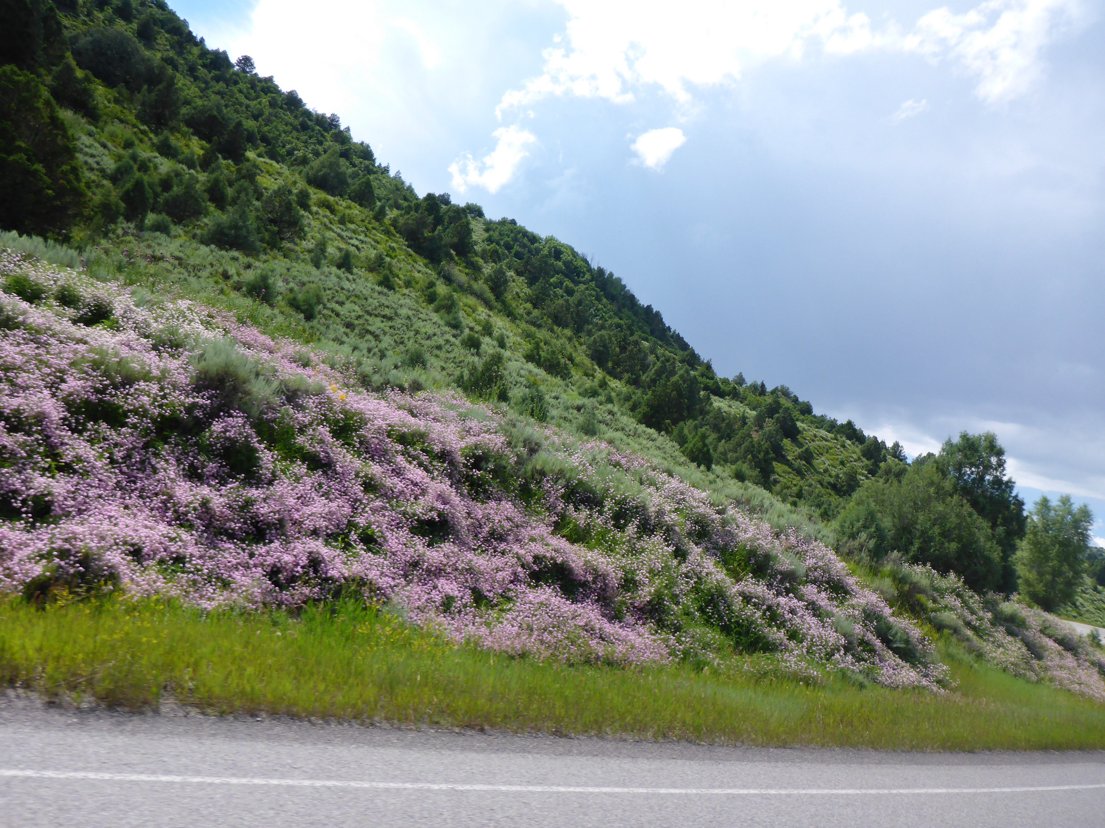
Lunch back in Montrose, quick check of the radar and we decide to head for Paonia State Park on route 133 which has a number of campsites. We ended up riding more today than we have since being in Colorado, 365kms, but we are definitely travelling to ride at the moment. Colorado is a truly beautiful and colourful state and paradise for motorcyclists. The rushing creeks and rivers, lush green meadows, dotted with wildflowers. You couldn’t design more beautiful gardens or rockeries. Even the rock faces are dotted with delicate white, yellow, pink, red and blue flowers. And the Colorado smells take us back to our first visit here in 1980. The smell of pine, the white flowers. We are lucky we do not suffer from hay-fever. We decide to stop just north of McClure Pass where we spot a campground below us, by a creek. This is just the sort of place I wanted to find. We must just remember to be careful with our food and clothing in case of bears as the sign on our picnic table reminds us.
Along Leopard Creek on CO62

San Juan Mountains from CO62

San Juan Mountains fromCOI62

Vinyards near Hotchkiss
Paonia State Park on CO133

Paonia State Park
Paonia State Park
McClure Pass
Just over McClure Pass
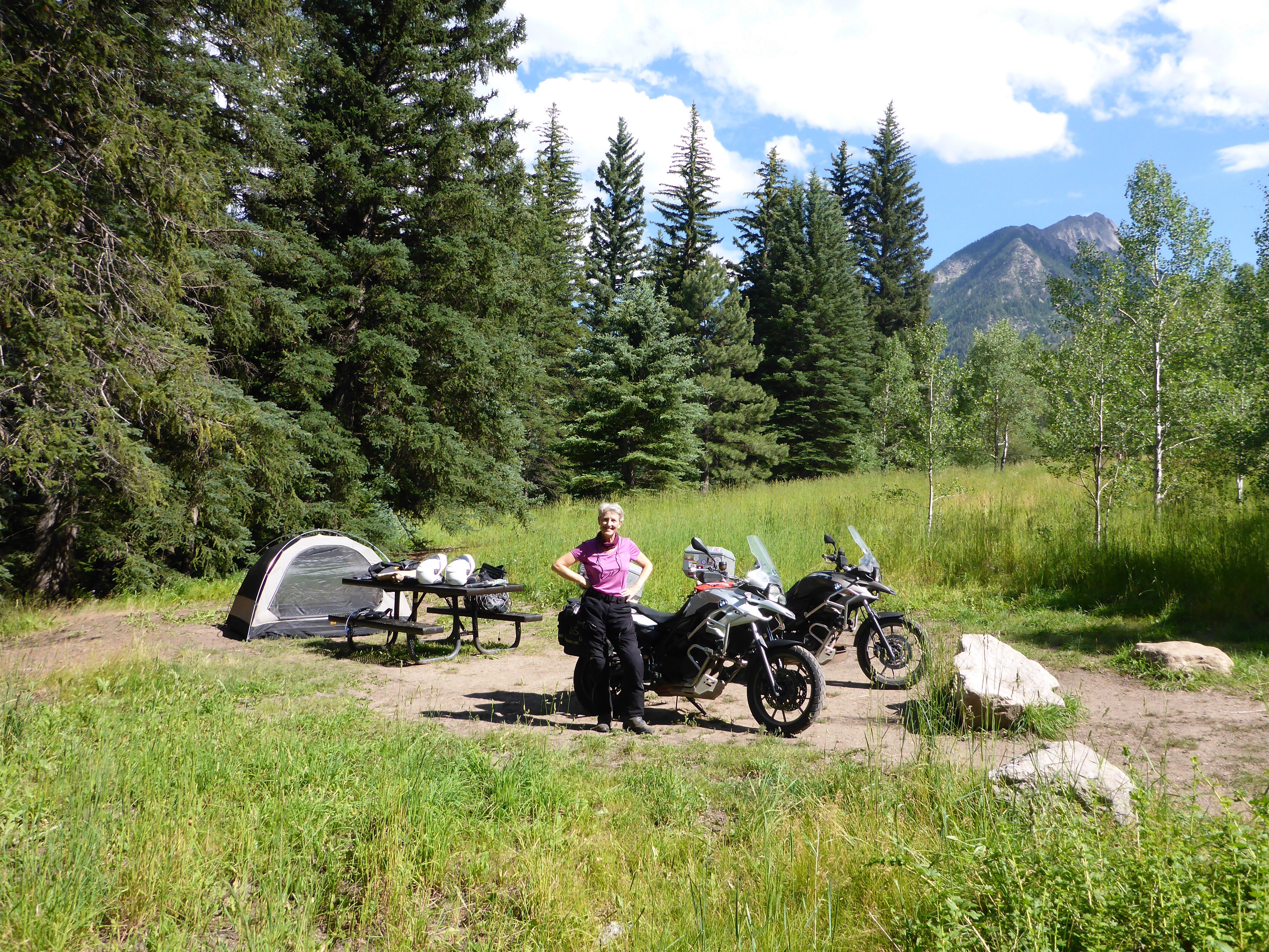
Camping at McClure Pass

Warning sign on our camping table, McClure Pass
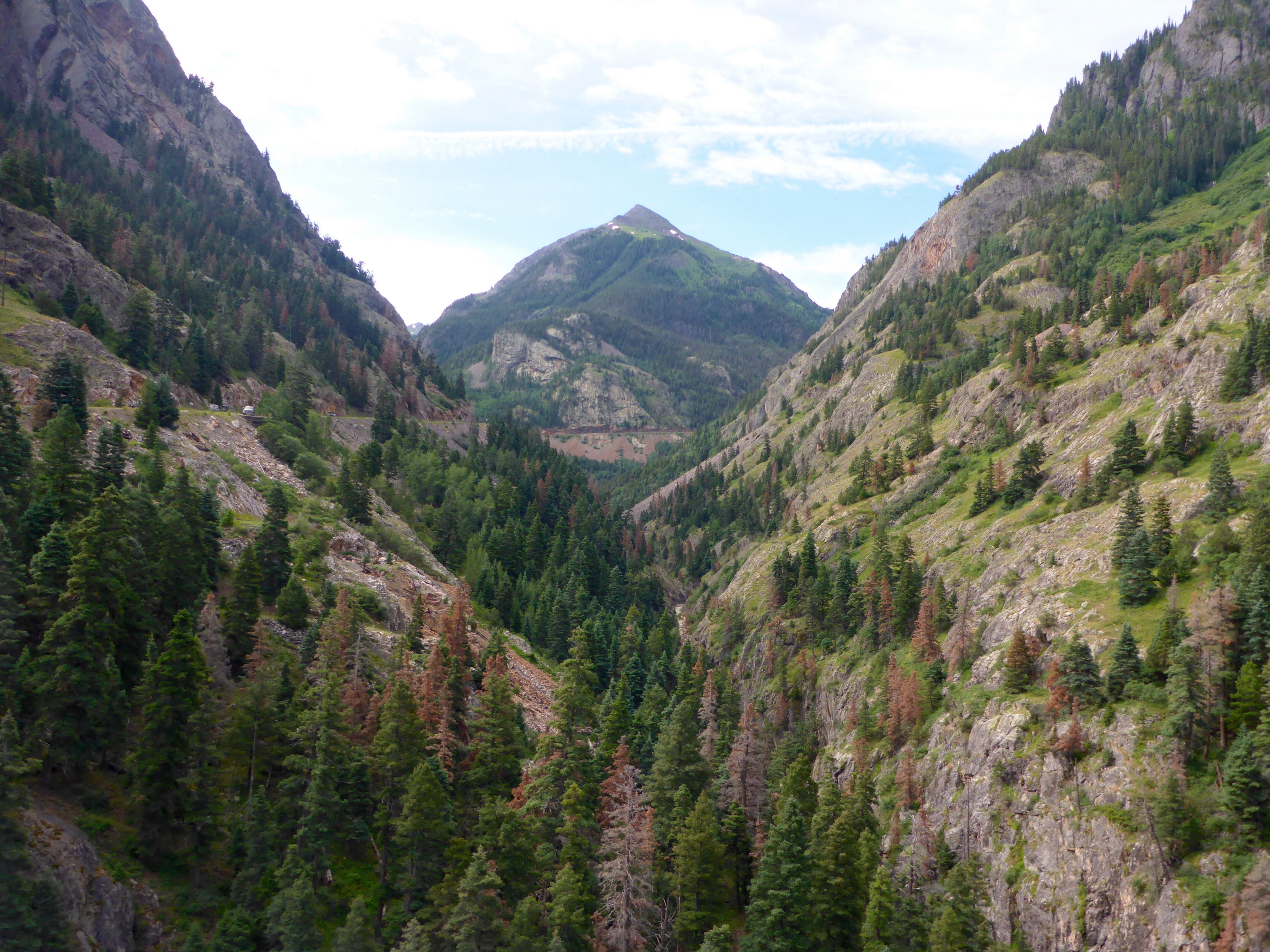
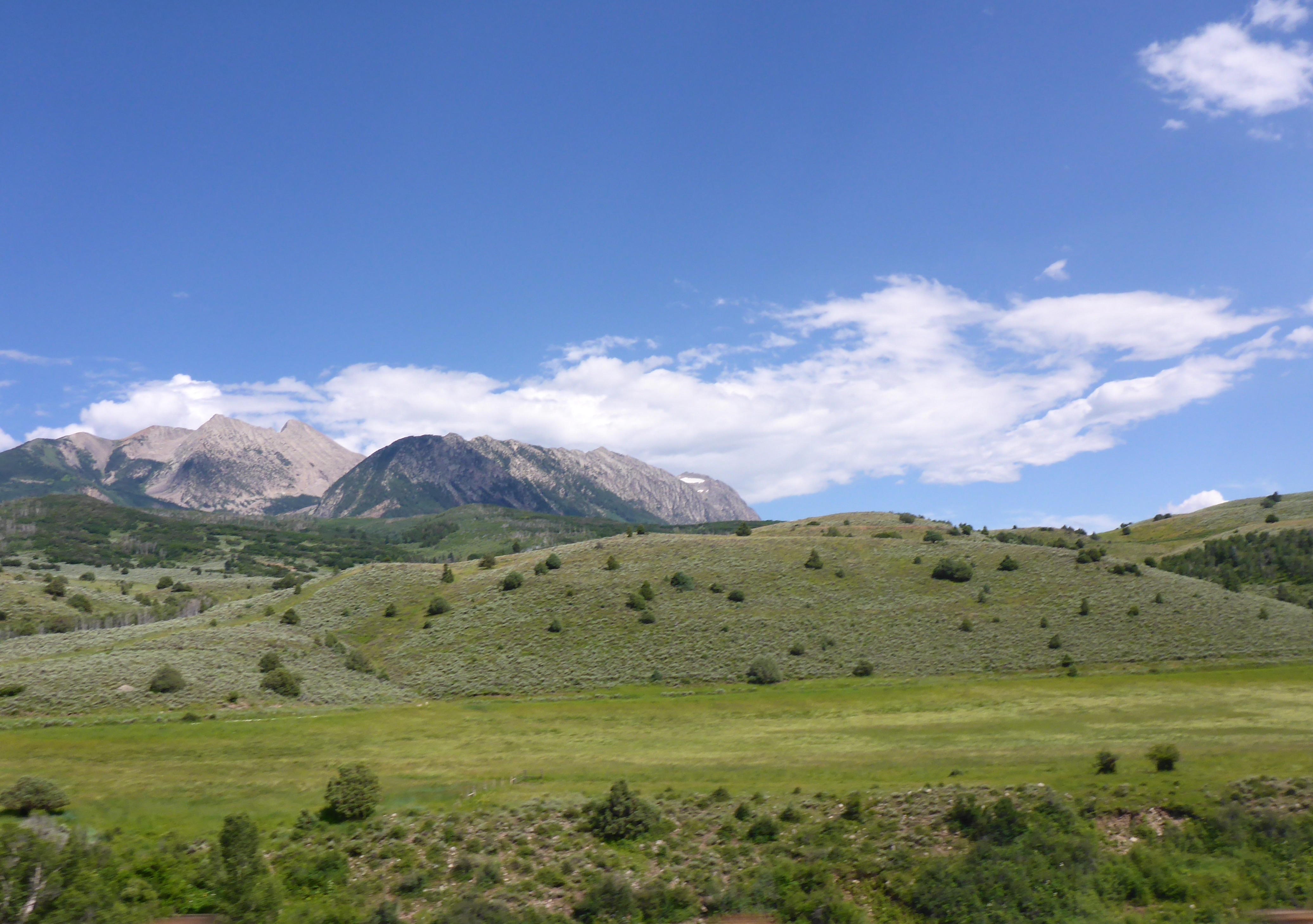
The next day, 17th July, after a very cool night, we pack up and decide to go to Aspen for breakfast as this will take us towards yet another top motorcycling route: the Independence Pass!! It is the 2nd highest paved road in the state and provides 50kms/30miles of dramatic riding.

White River National Forest

White River National Forest
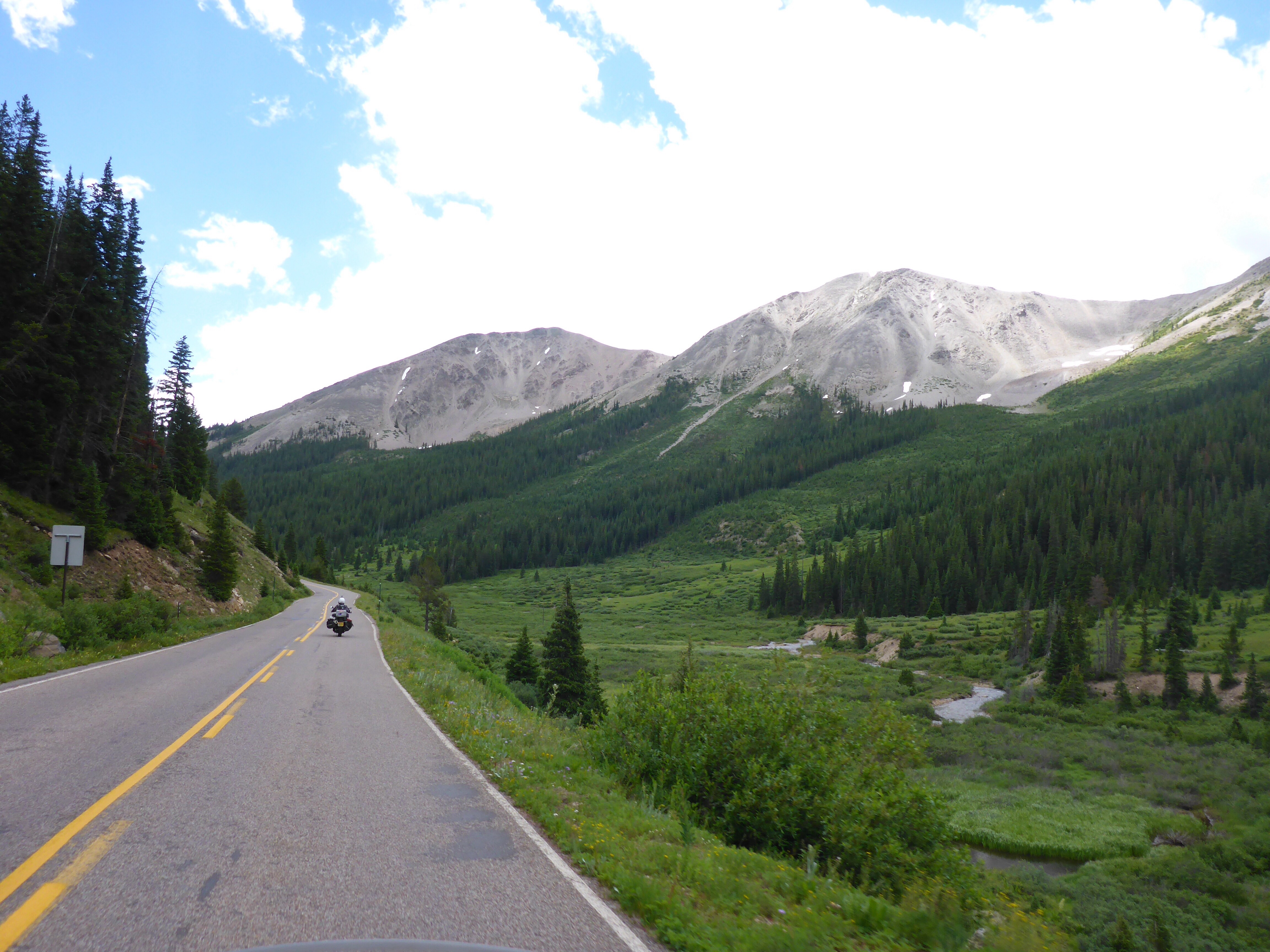
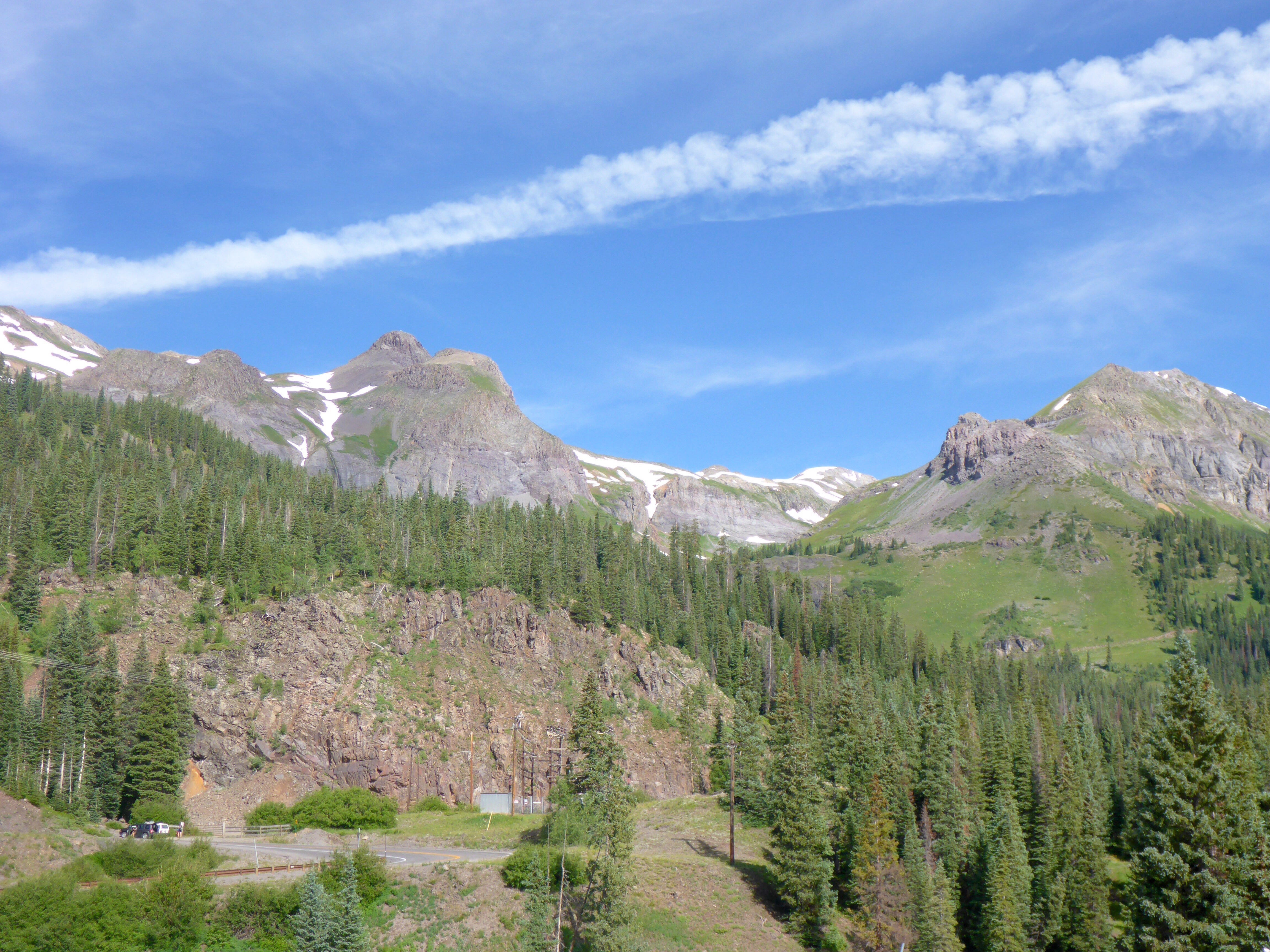
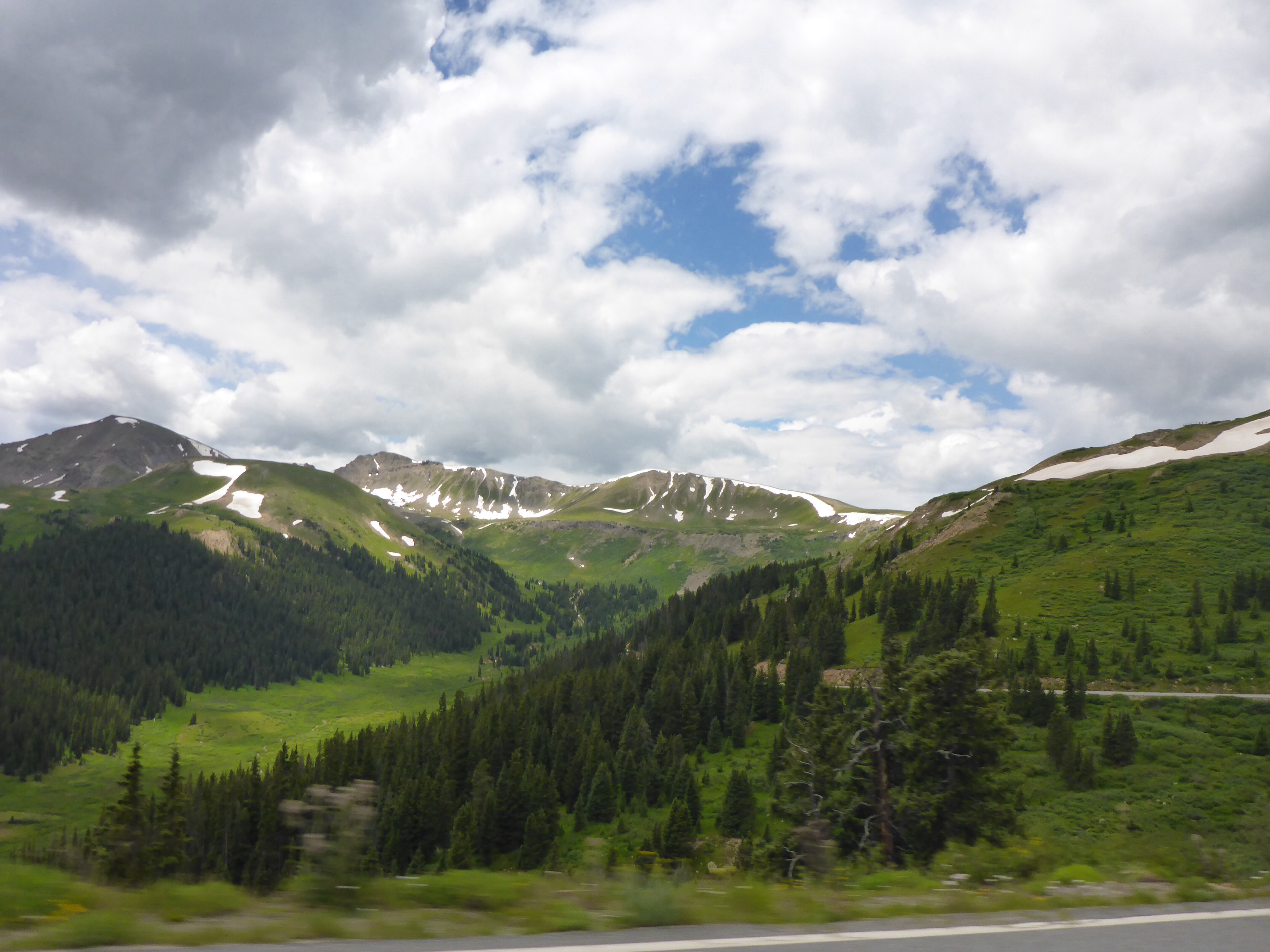
Independence Pass

Independence Pass road, Colorado

Just over Independence Pass, Colorado

Independence Pass road, Colorado
Independence Pass road, Colorado
Independence Pass road, Colorado

Independence Pass road, Colorado

Independence Pass road, Colorado
Twin Lakes, Colorado

Looking towards Mt Elbert, Colorado
Colorado has not had a summer as wet as this year’s for a very long time. We have kept an eye on the weather radar and changed our timetable or route to avoid the storms on numerous occasions. Today is no exception and once again the 2slowspeeds luck is in. We decide to head north towards Leadville and onto route 91 instead of south towards Buena Vista. Hikers got struck by lightening and one person died that afternoon near Buena Vista…
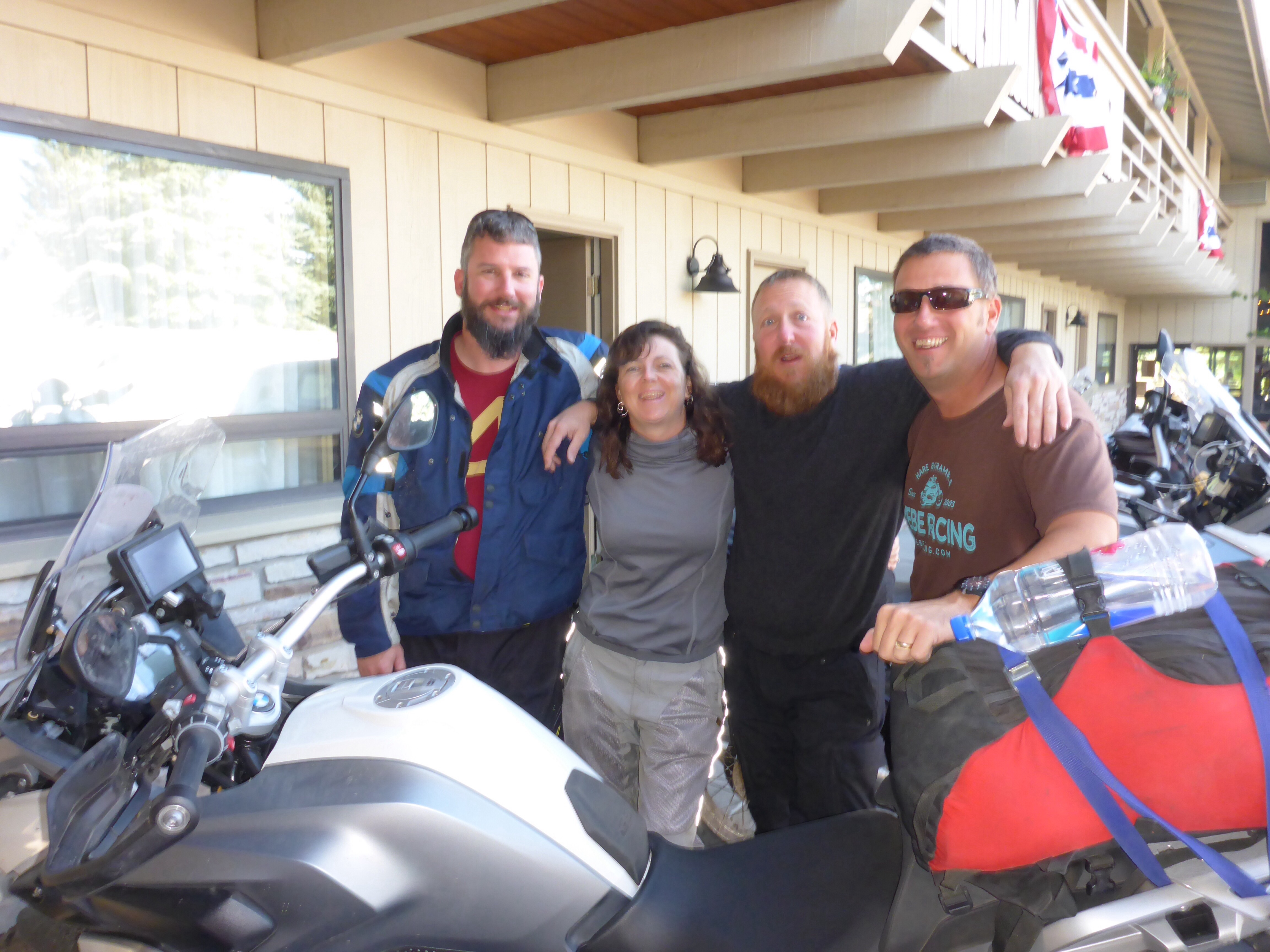
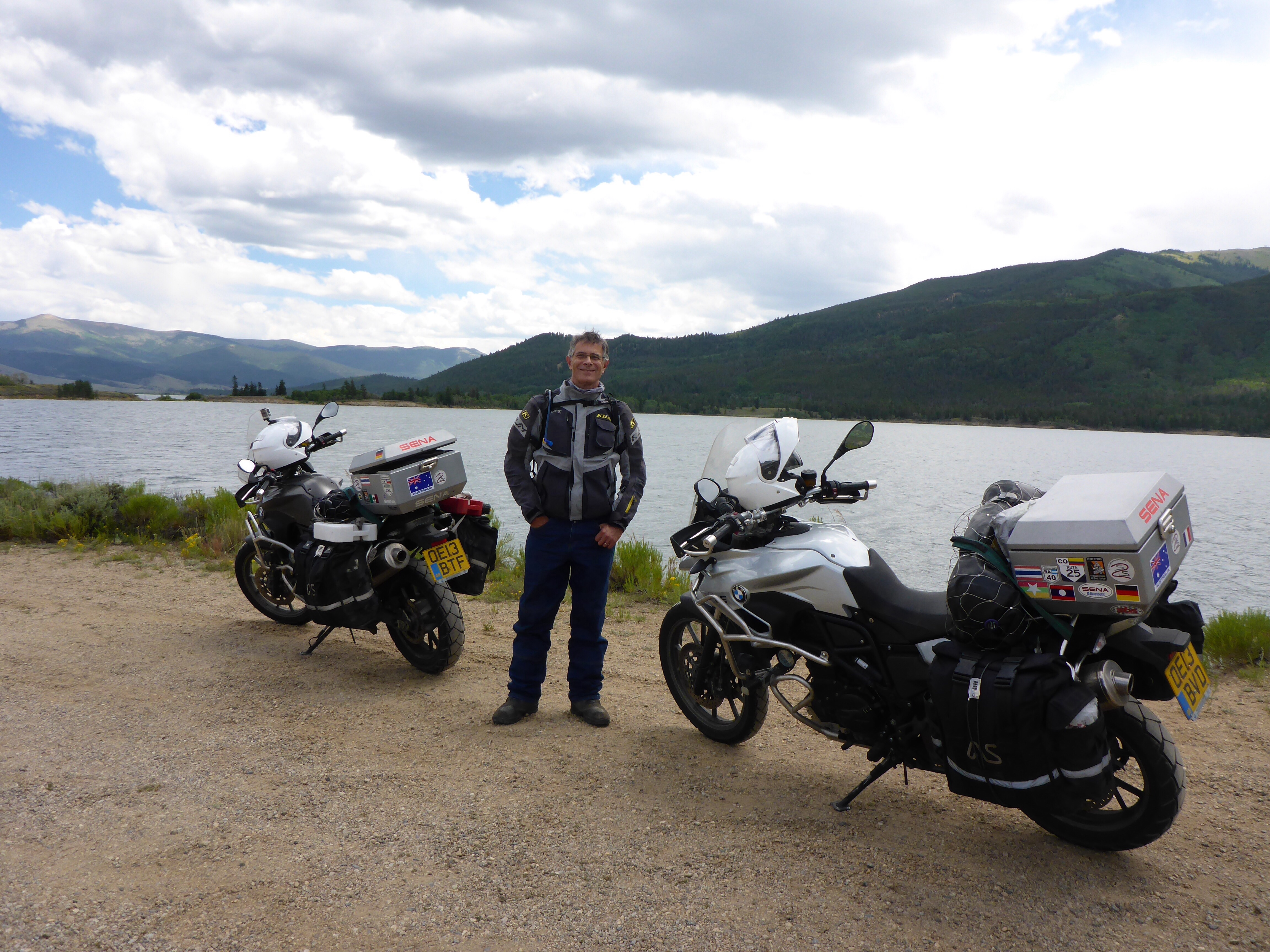
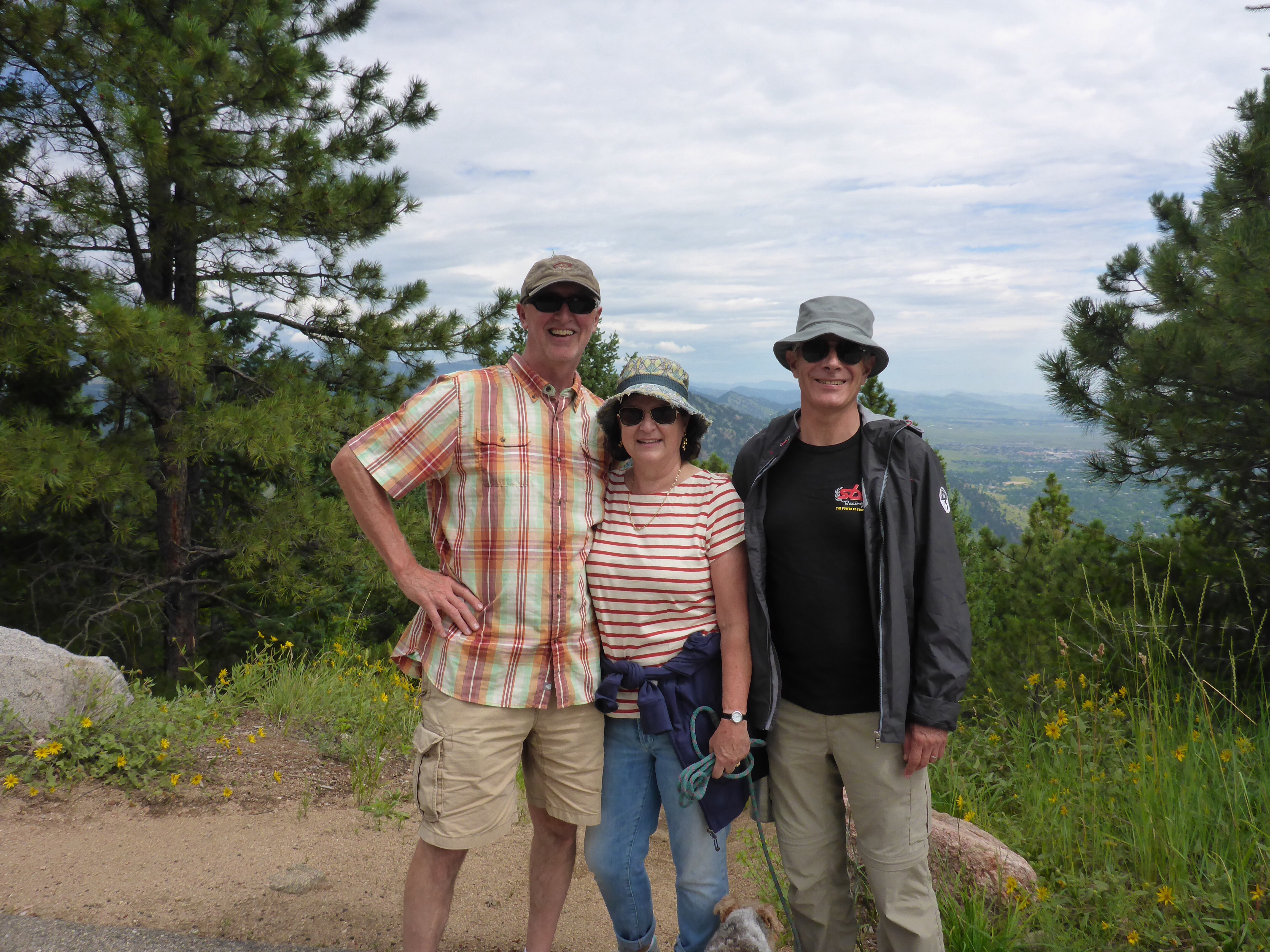
We arrive at Marshall and Ali’s in Boulder on the afternoon of the 18th. We have known them for about 15 years and I have visited them numerous times while they lived in Chicago and I was exhibiting Aboriginal art in the US so it is great to see them again, in Boulder this time. Ali has remembered how much I love dried mango and had left a packet of it our room for me!! So sweet!!!! We are treated to fantastic meals, taken on a few drives around Boulder and up to Nederland and we enjoy our many lively discussions on all sorts of topics, including American politics of course. A wonderful time with great friends. And it is great to see two of their sons again too.

Boulder wildflowers

Boulder
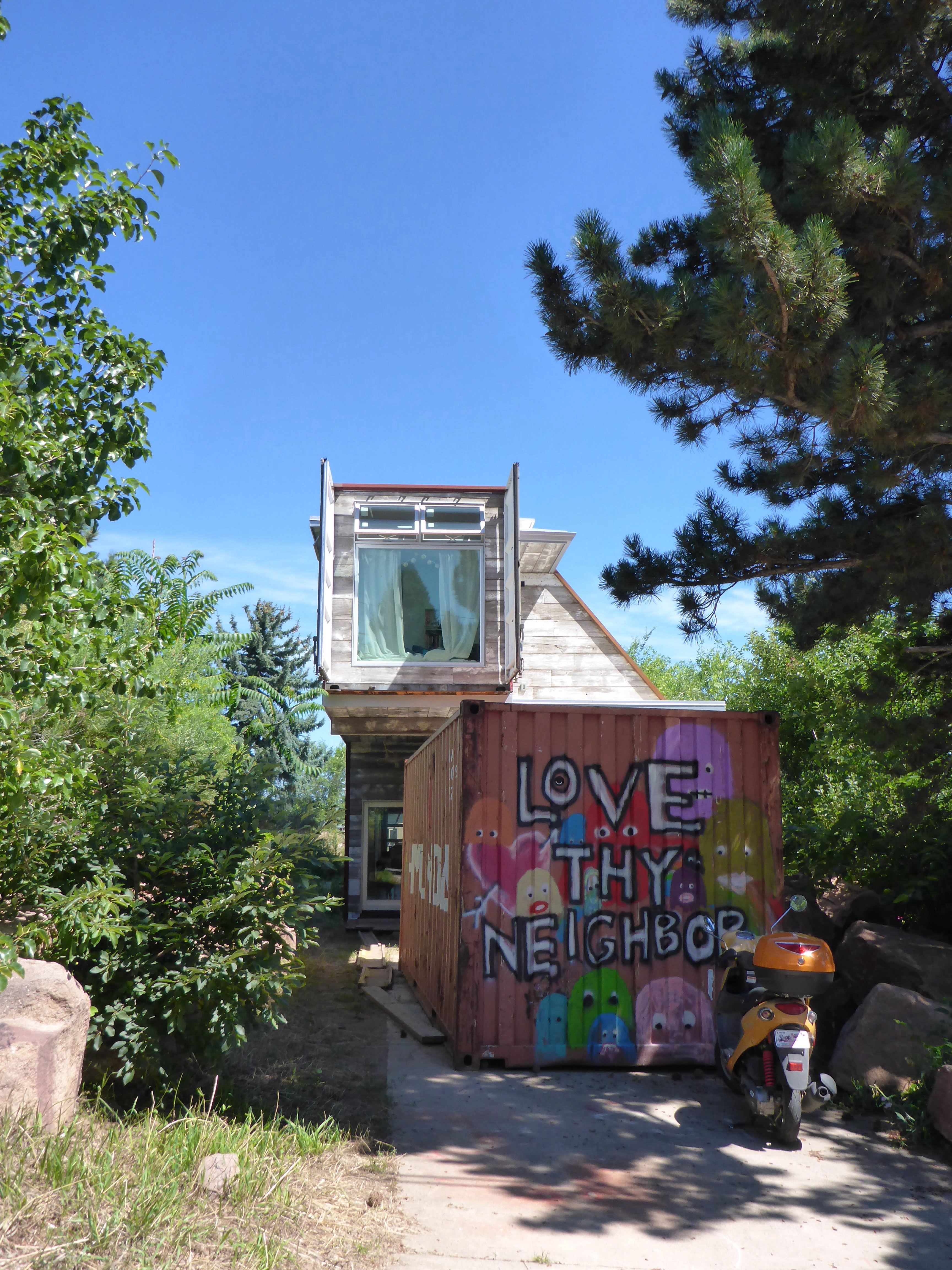
Container house in Boulder
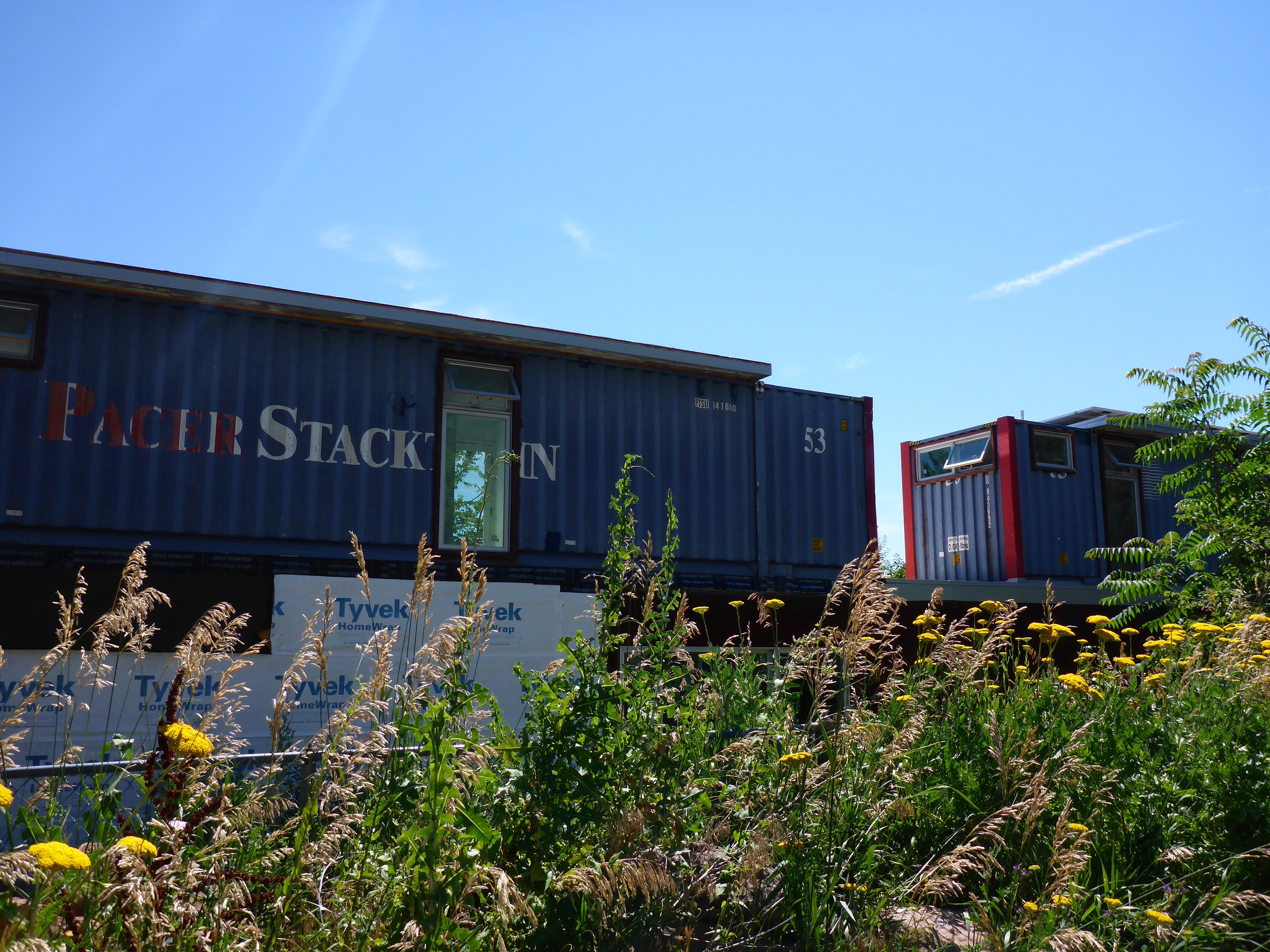
Container house in Boulder

Chautauqua Park, Bolder
Marshall and Ali
We take up Marshall and Ali’s generous offer of us staying longer than originally planned – it is expected to rain early today and we are behind with our blog so we make the most of this extra day to get up to date. We finish off the day with yet another wonderful barbecue on their terrace, spending a few hours reminiscing about our past and (not!) solving the world’s problems!! Wonderful company and generous hosts – thank you Ali and Marshall. We are off heading west again tomorrow morning – on the road again…..!!!
– Anne