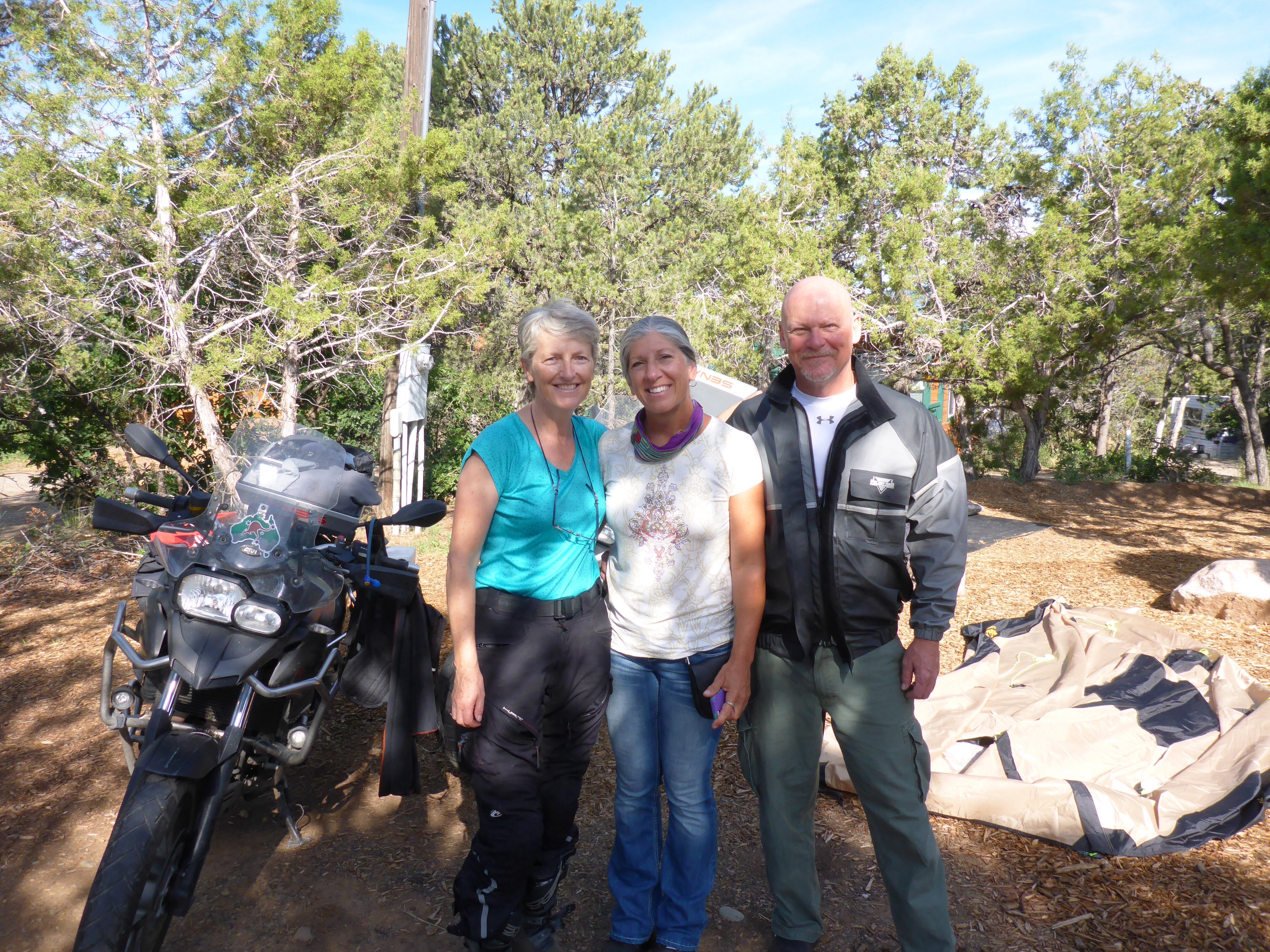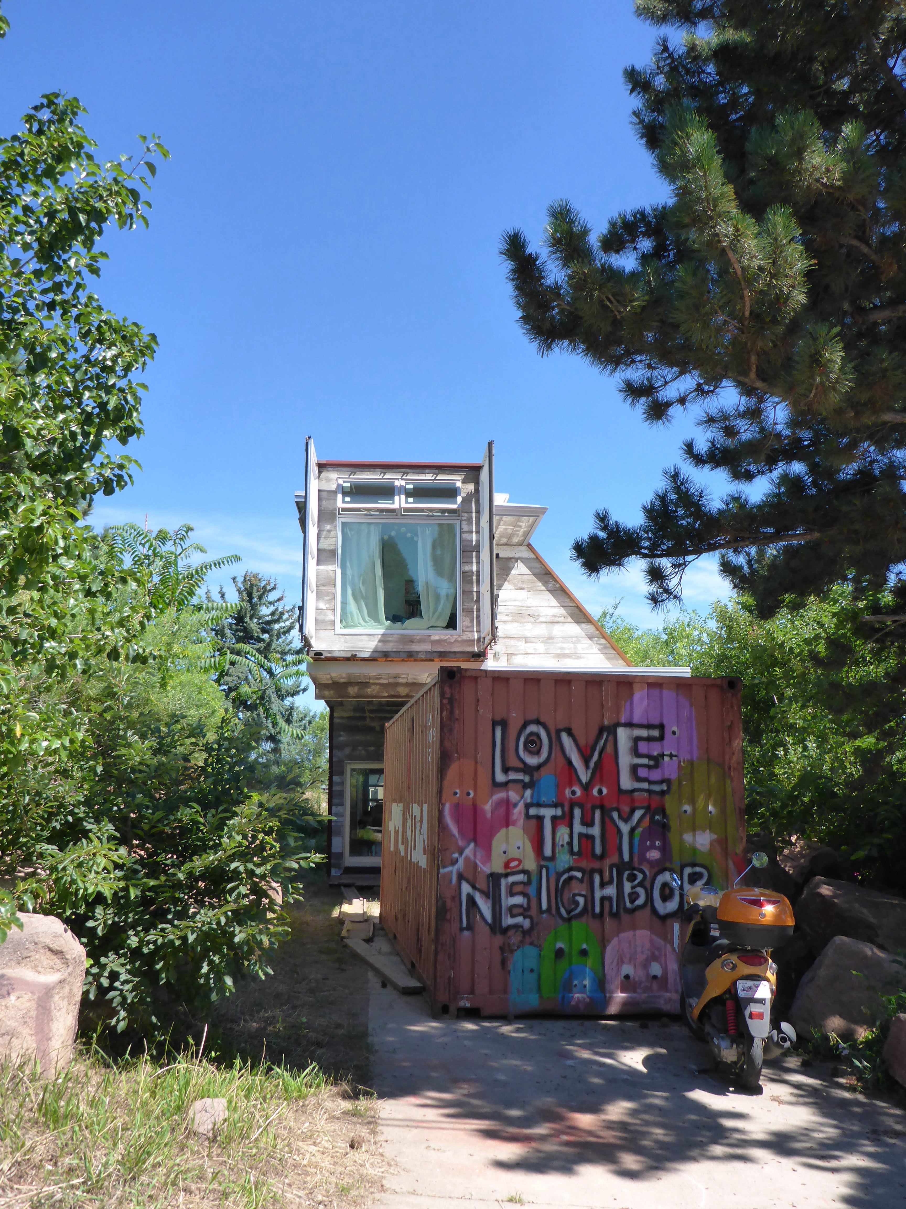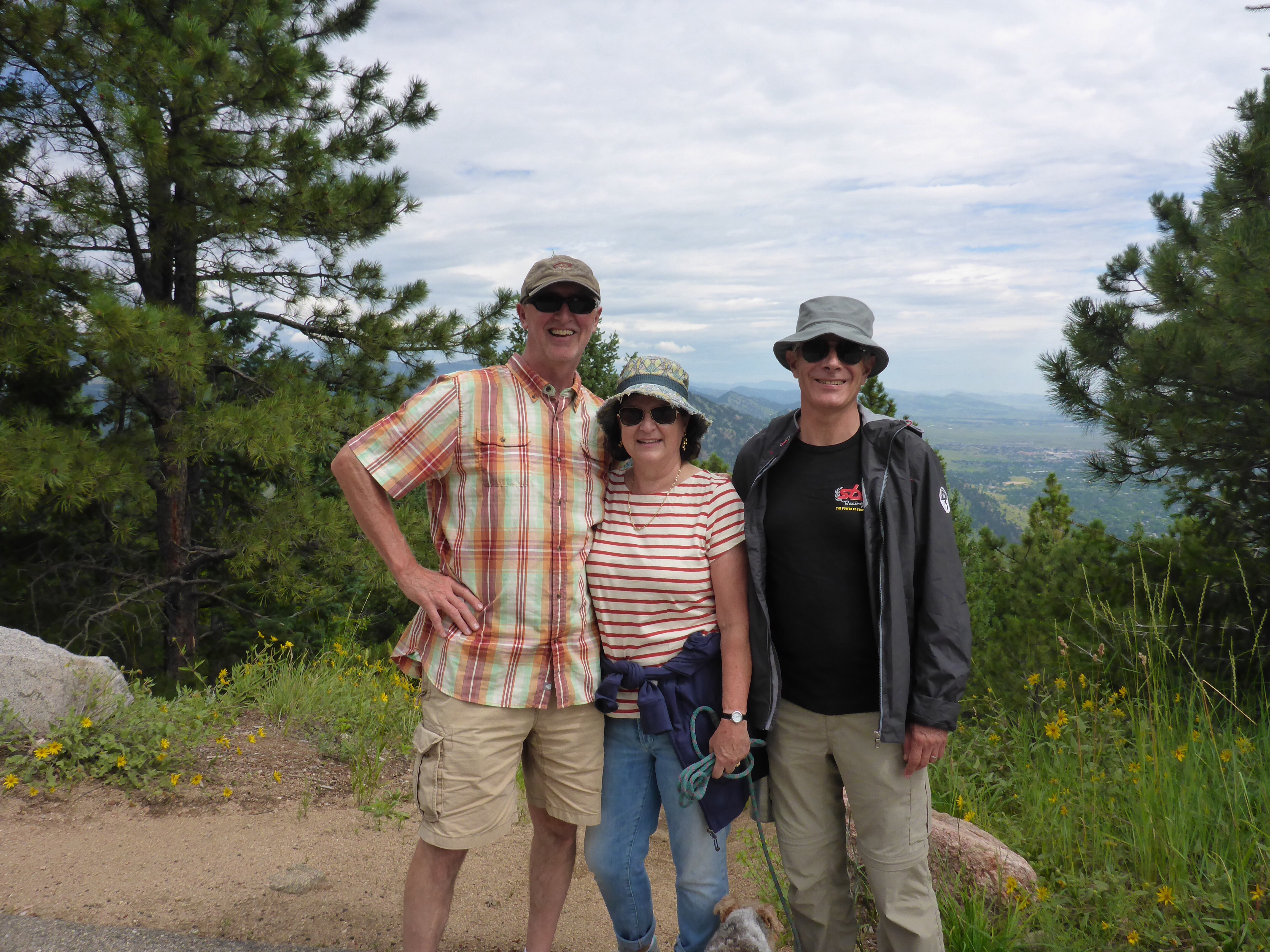
Time to say goodbye to Marshall and Ali after a wonderful stay where they thoroughly spoilt us. We take Marshall’s recommendation and ride the Peak to Peak road, following the Boulder Creek to Nederland before heading north to Estes Park. A perfect biking road, with gentle, nearly rhythmic left then right turns. We ride through Ward, a community of hippies, which looks more like a massive junkyard. Interestingly, whereas most of Colorado views Boulder as too liberal, too different and too weird, that is how the residents of Boulder view the residents of Ward!! We stop in Estes Park for a hot coffee and tea to warm up, and add another layer – it is nippy and will get even colder as we climb into the Rocky Mountain National Park next. It goes down to 7 degrees celcius! We even get our winter gloves out.

Peak to Peak road sign
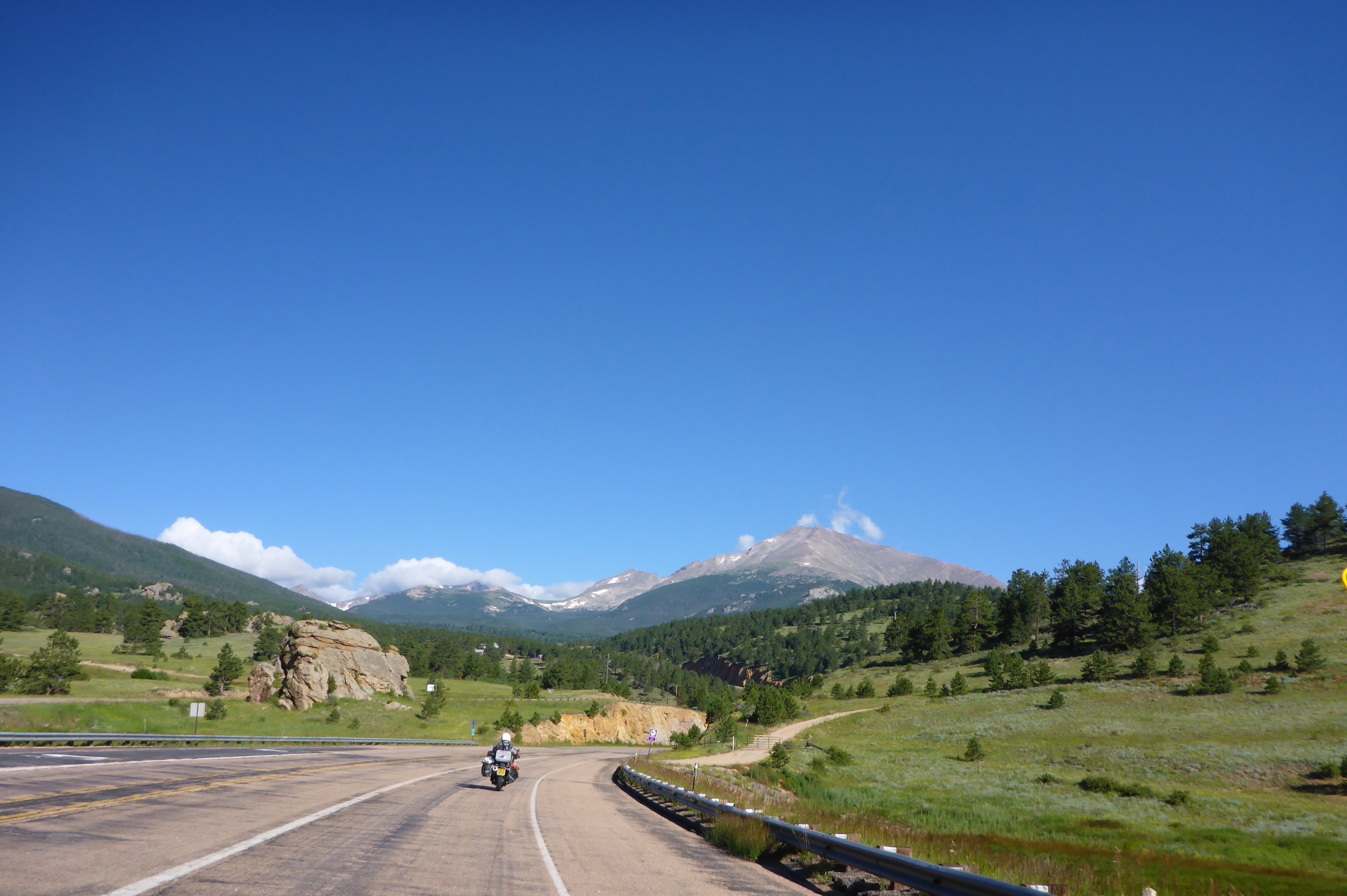
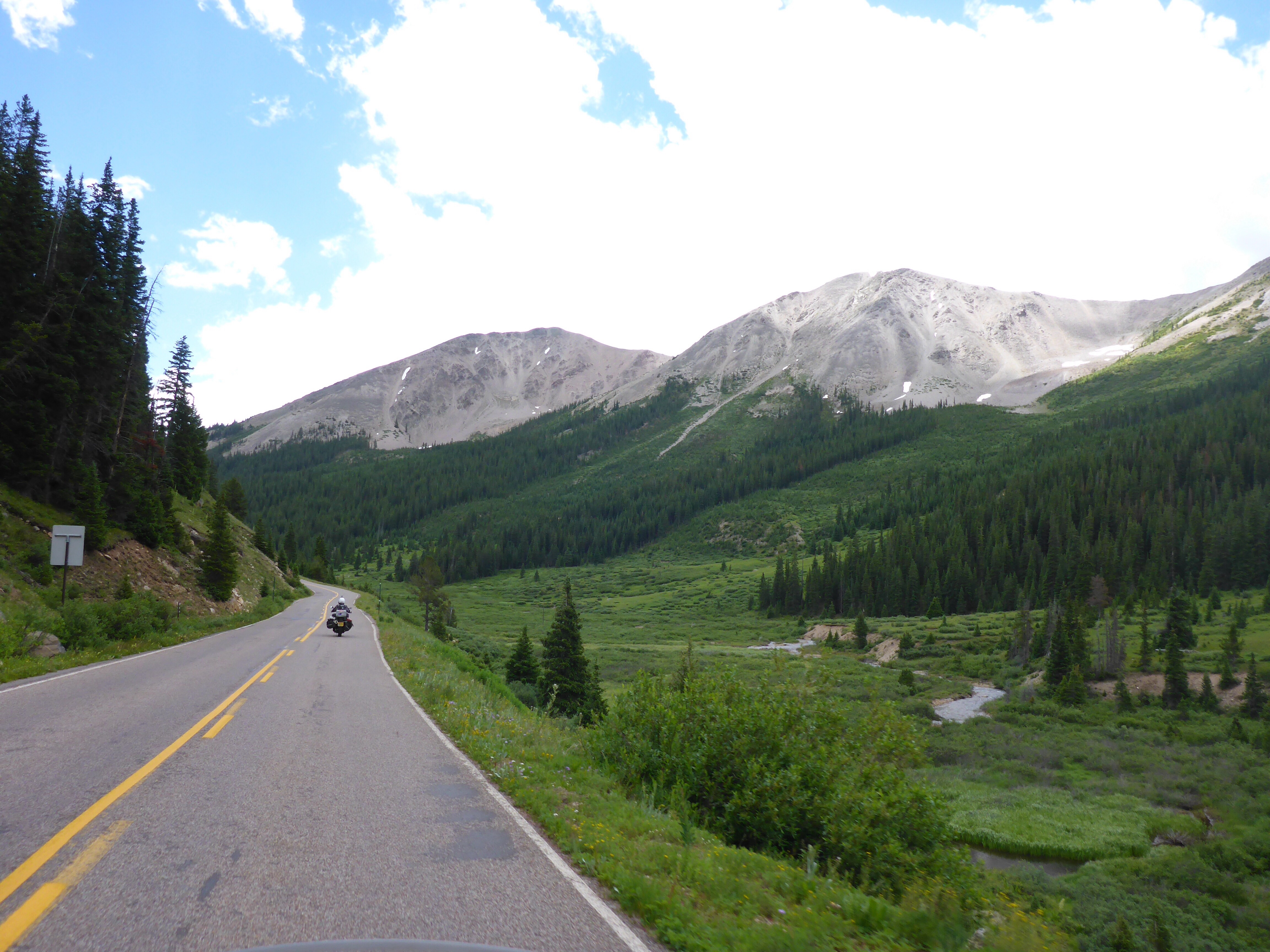
On our way to Estes Park
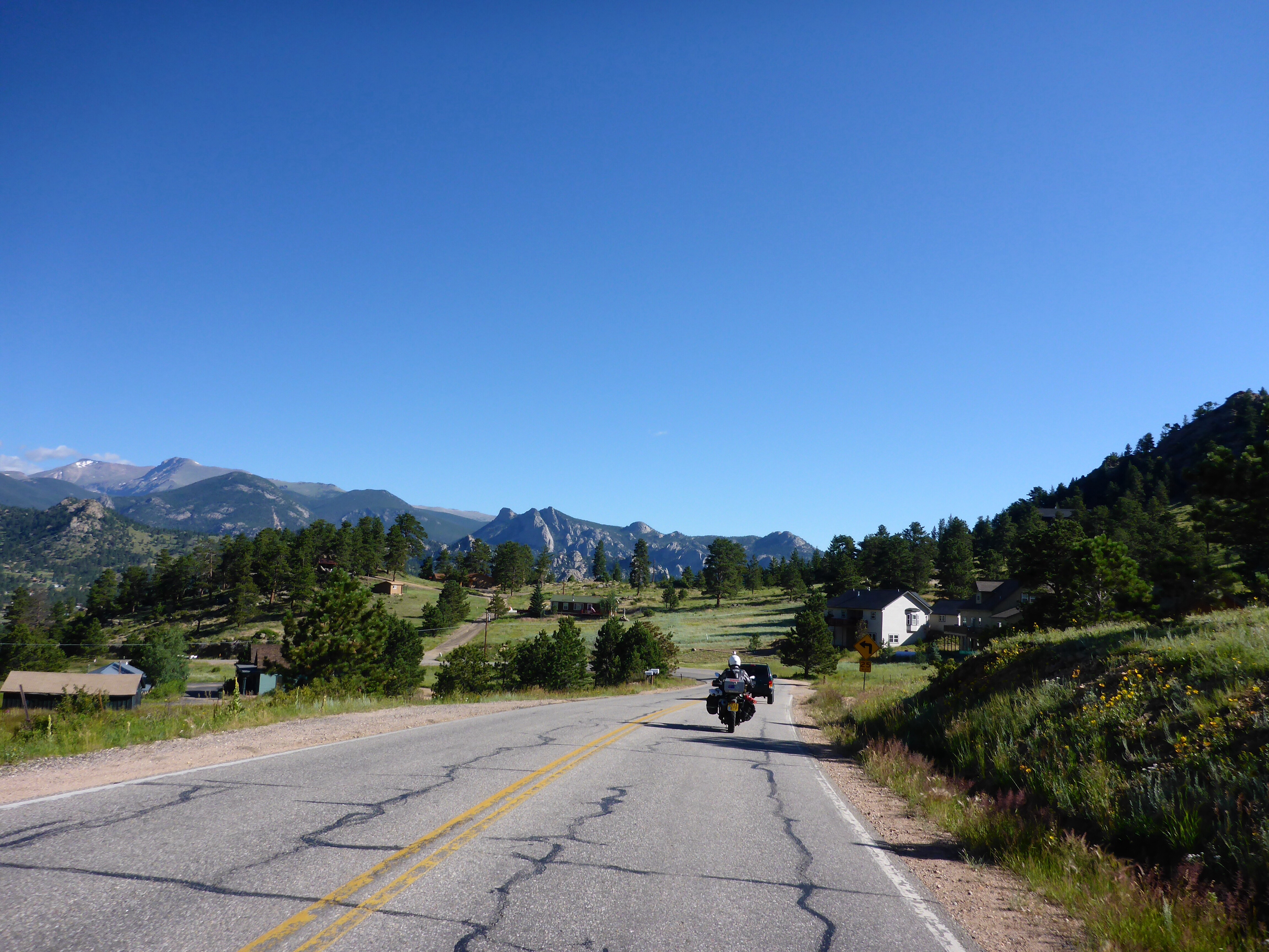
On our way to Estes Park
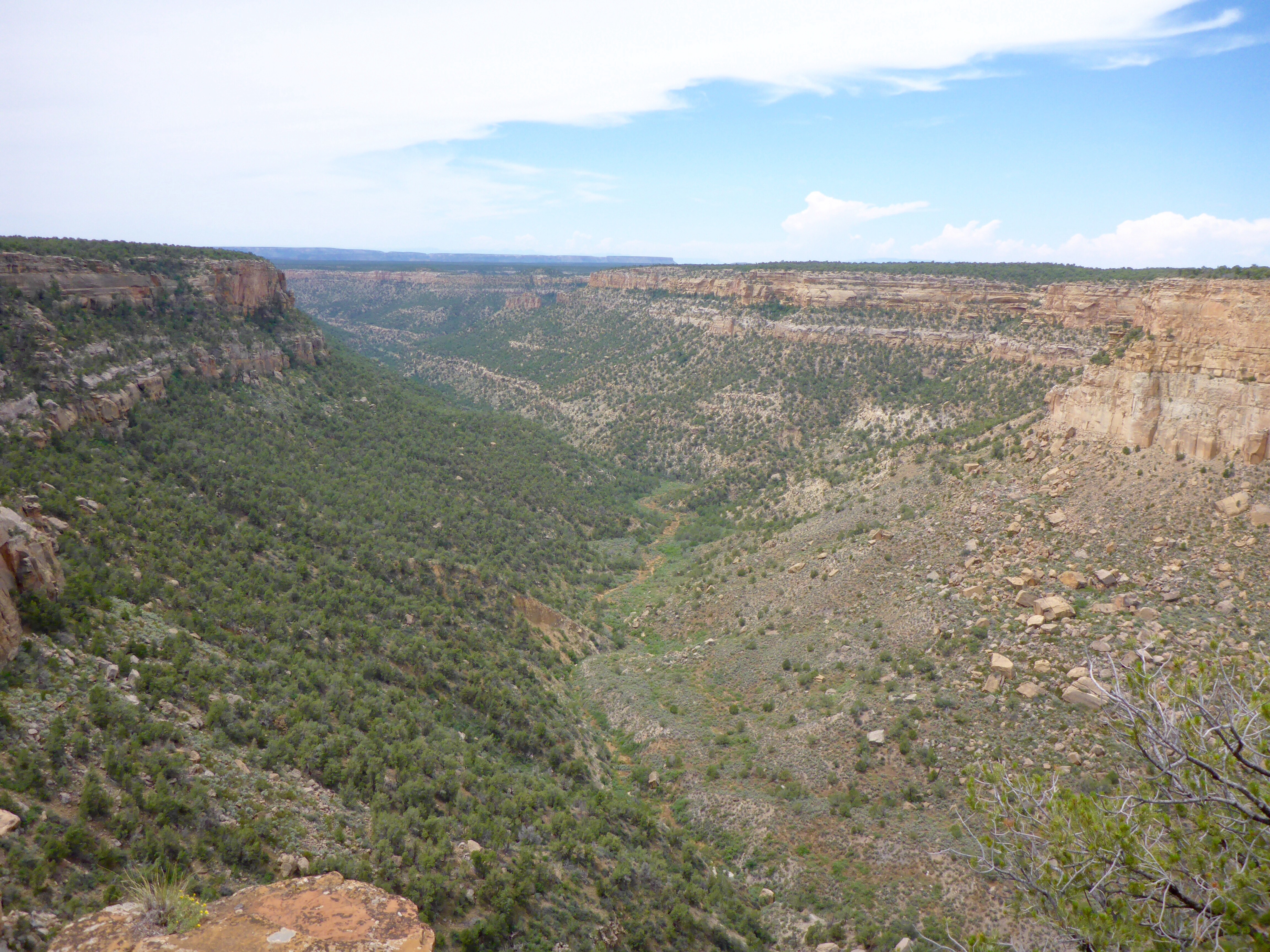
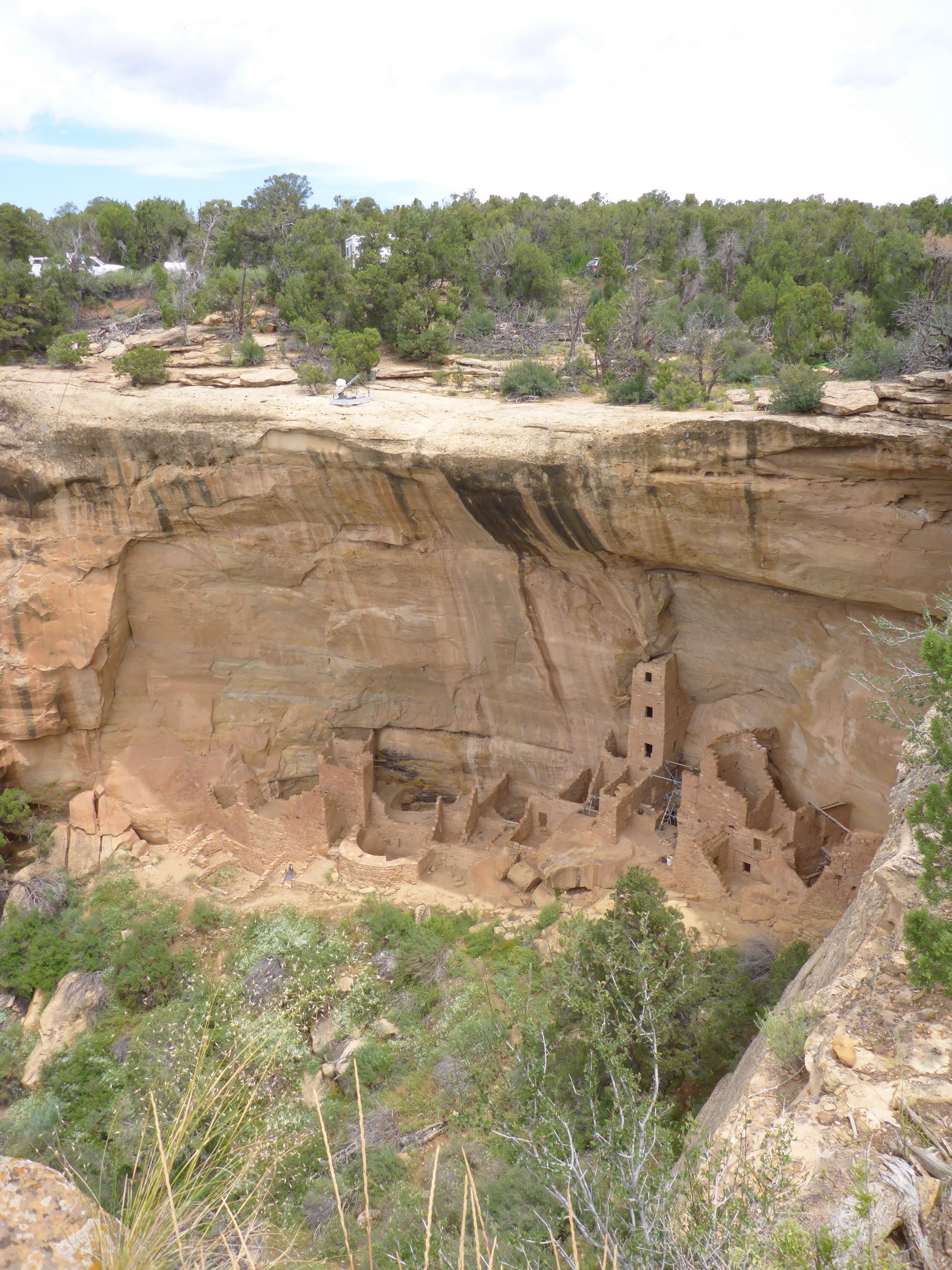
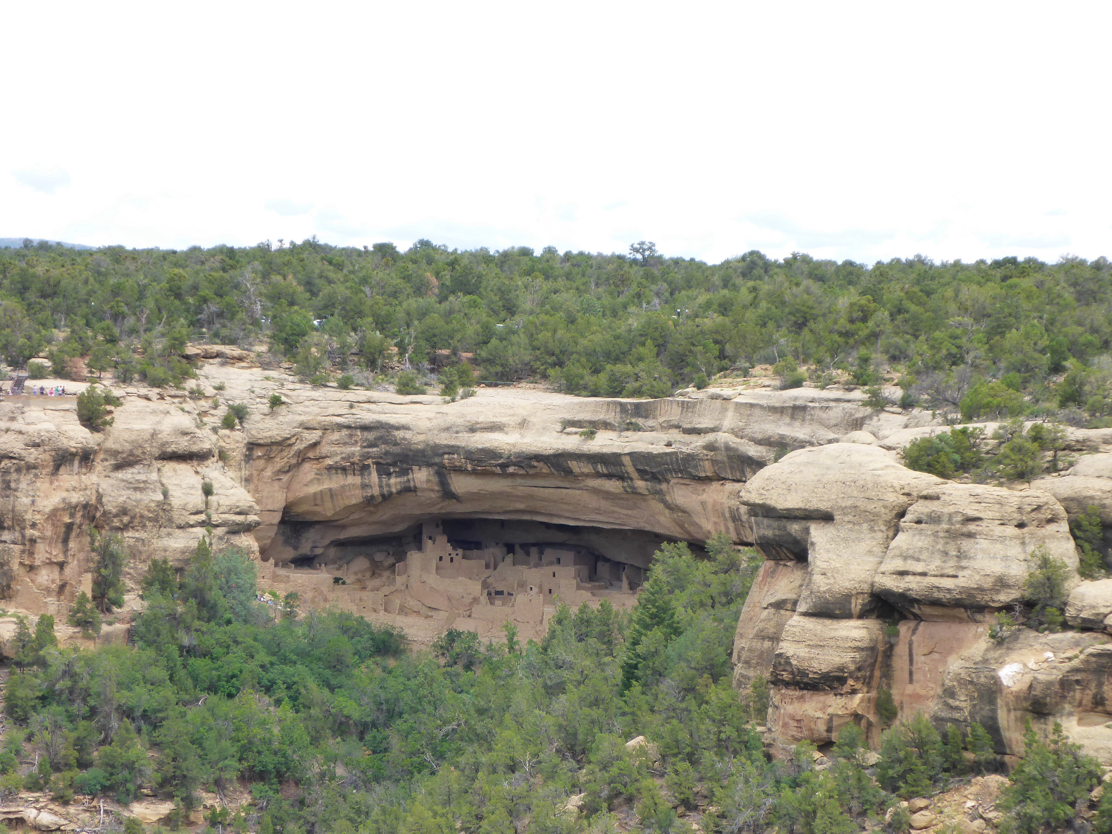
Wow, to think we visited this park back in 1980 – we had no idea then that we would be back 35 years later on bikes!! We thought it would be fun to get a photo at the same spot as the one we got of ourselves back then but thank goodness, Anthony suggested we had walked far enough and not to bother going all the way: at 3700m high, walking uphill is much tougher for both of us than it was in 1980 – and it was hard enough back then! We walked back to the bikes, ready to explore more of this stunning park. Ooops, I am feeling weird. Pull over quick – crouch down, breathe, wait, head down. We need to get down, as soon as possible. I am ok to go on – it won’t be long before we loose altitude. It is a battle for me. Concentrate, breathe slowly, Anthony, talk to me, about anything! Anthony is calming. Four cars in front me suddenly slow down and stop in the middle of the road: stupid drivers, move on, just because they want to take a stupid photo of a stupid male deer, a perfect picture postcard stupid photo. My legs are shaky but I know that staying up and wait for the feeling to pass is not an option and as soon as we move again, the momentum of the bike will keep me up. I am fighting with my head as I know what’s going on, especially when I caught myself about to say to Anthony to carry on and just leave me here. Eventually, the cars move on and after a final extra short climb, it is downhill all the way. Anthony reads out the altitude we have reached every few hundred feet. It is not long before I start feeling better. What a pity I didn’t get a photo of that amazing elk (thanks Karen), looking straight at me, huge perfect antlers against the deep blue sky!! The picture is imprinted in my mind though. And Anthony captured it on the video!!

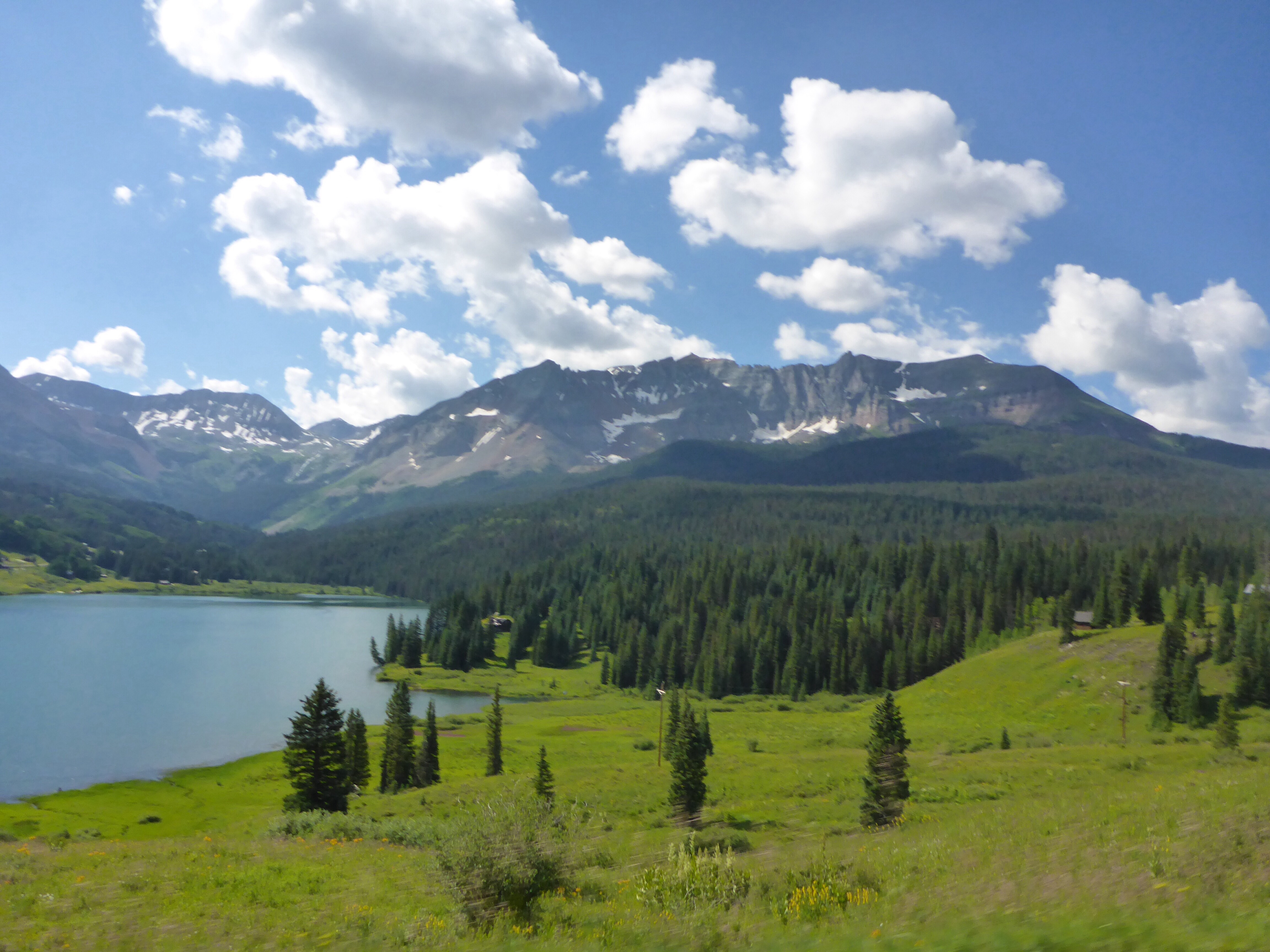
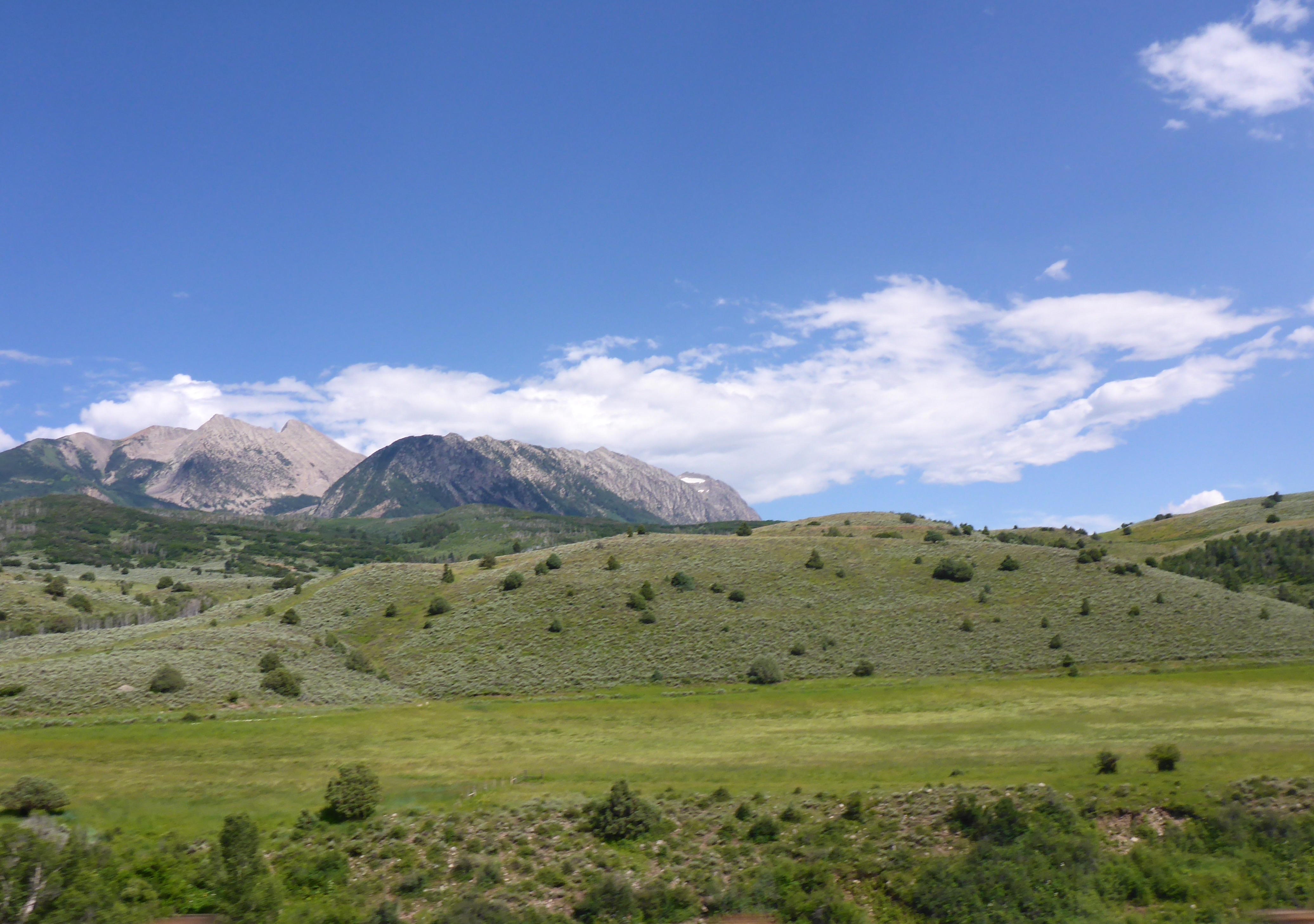
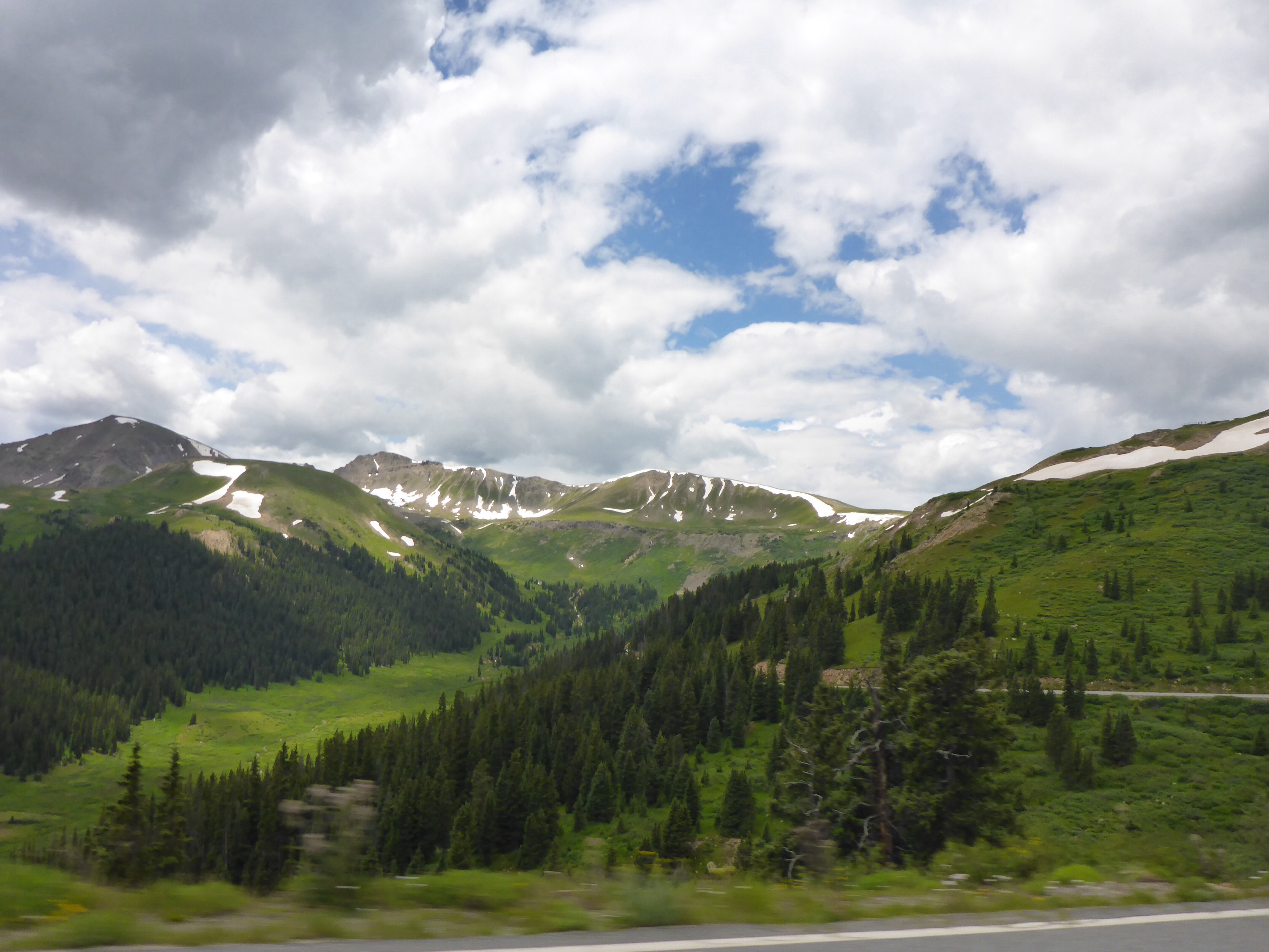
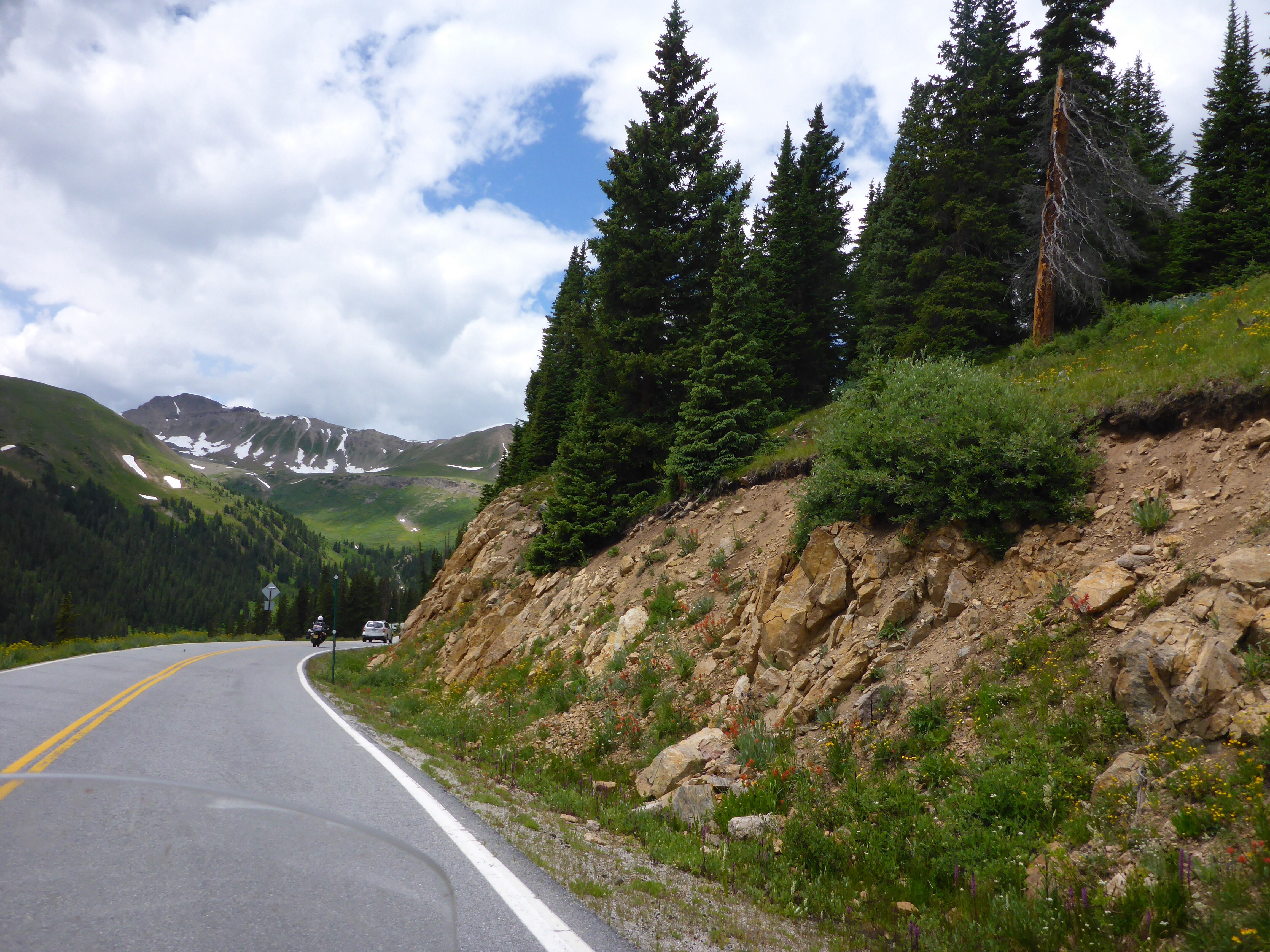
Rocky Mountain National Park

Rocky Mountain National Park

Rocky Mountain National Park
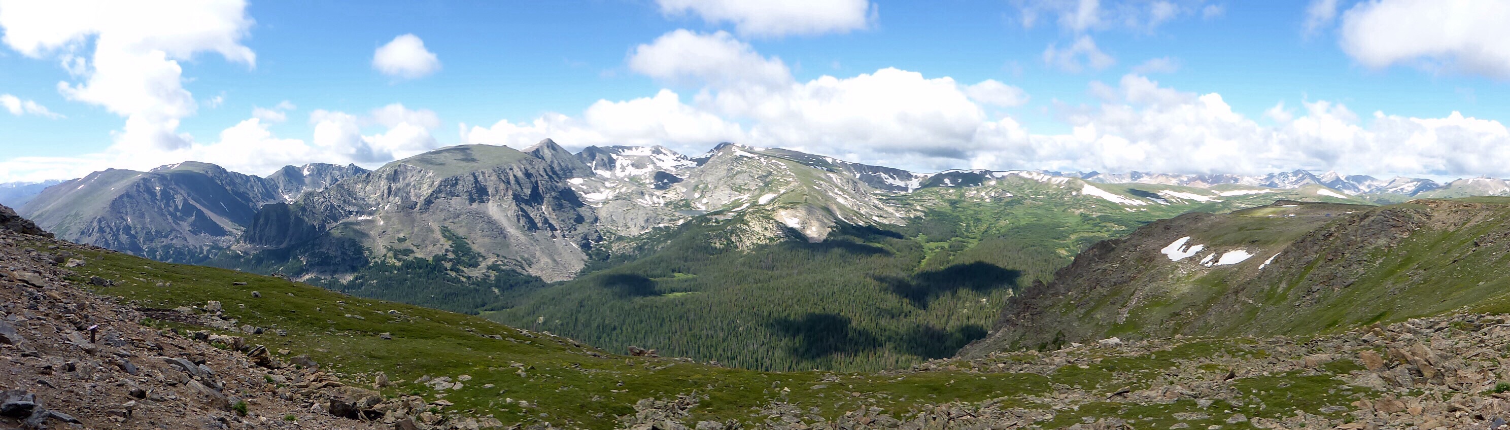
Rocky Mountain National Park
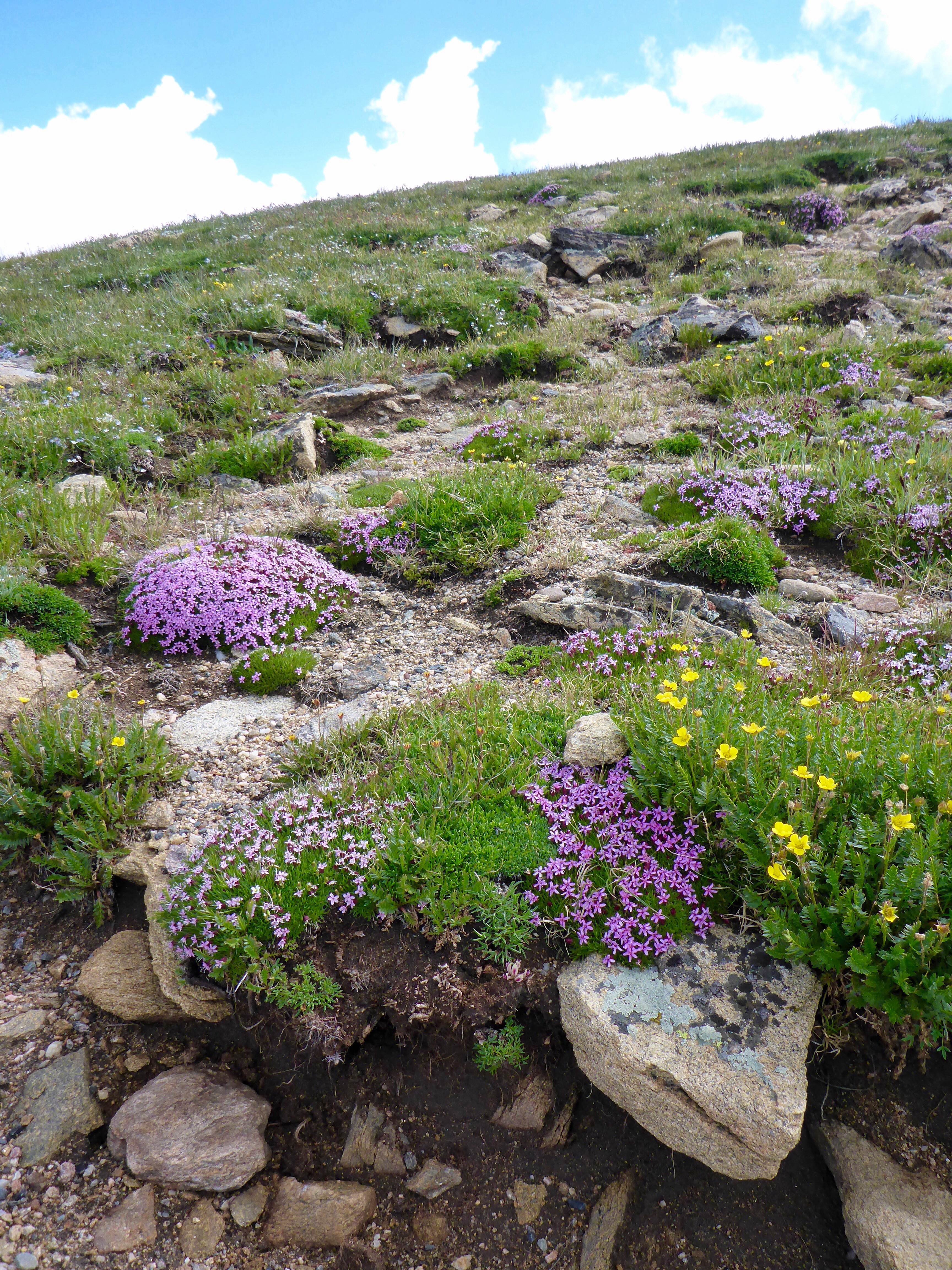
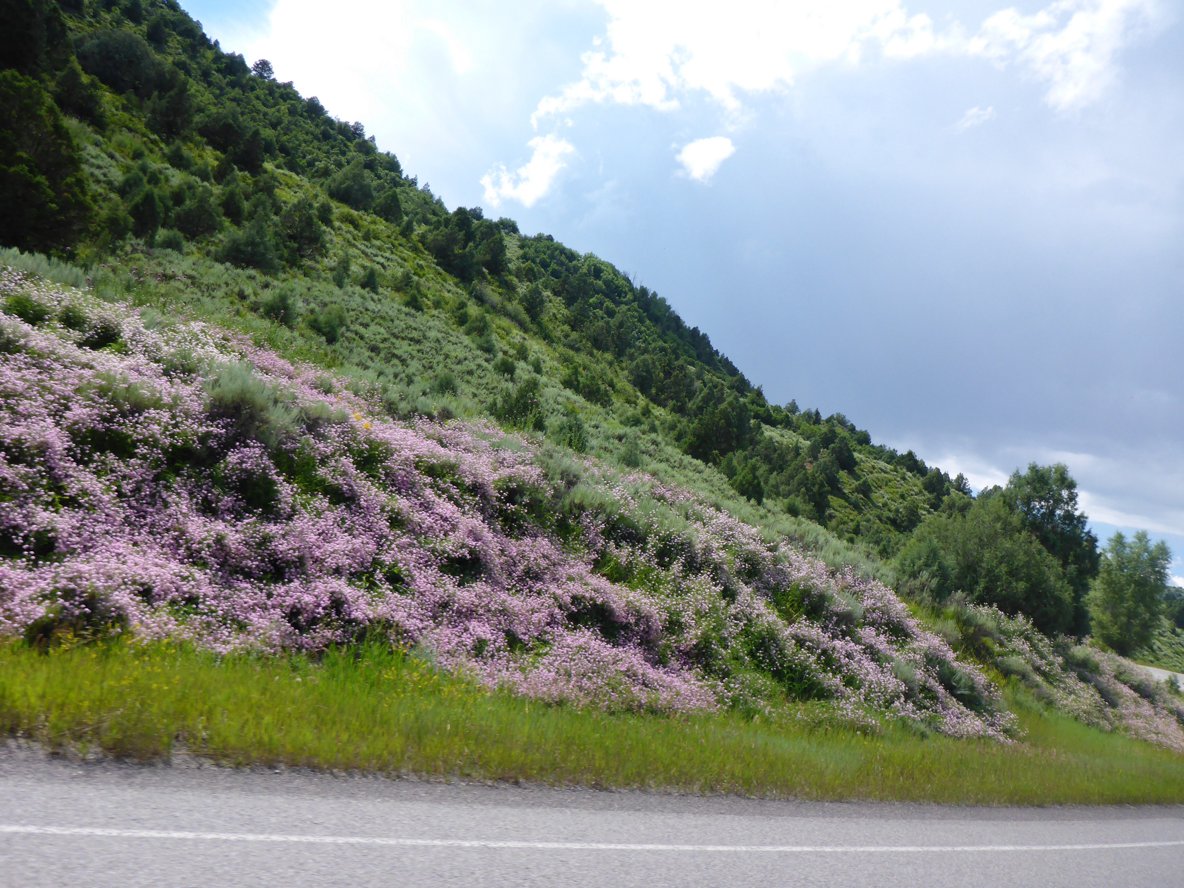
Rocky Mountain National Park wildflowers

Rocky Mountain National Park

Rocky Mountain National Park
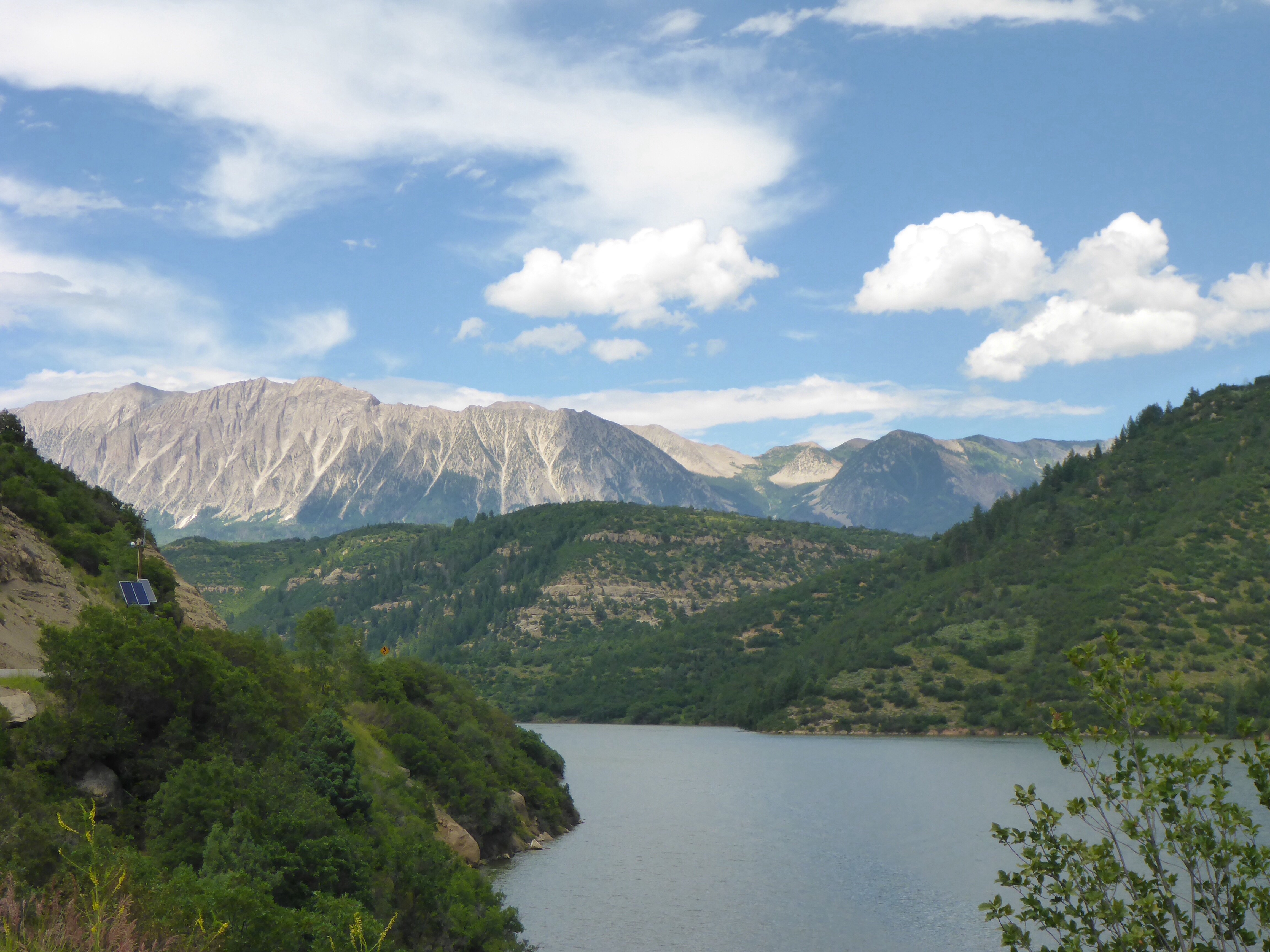
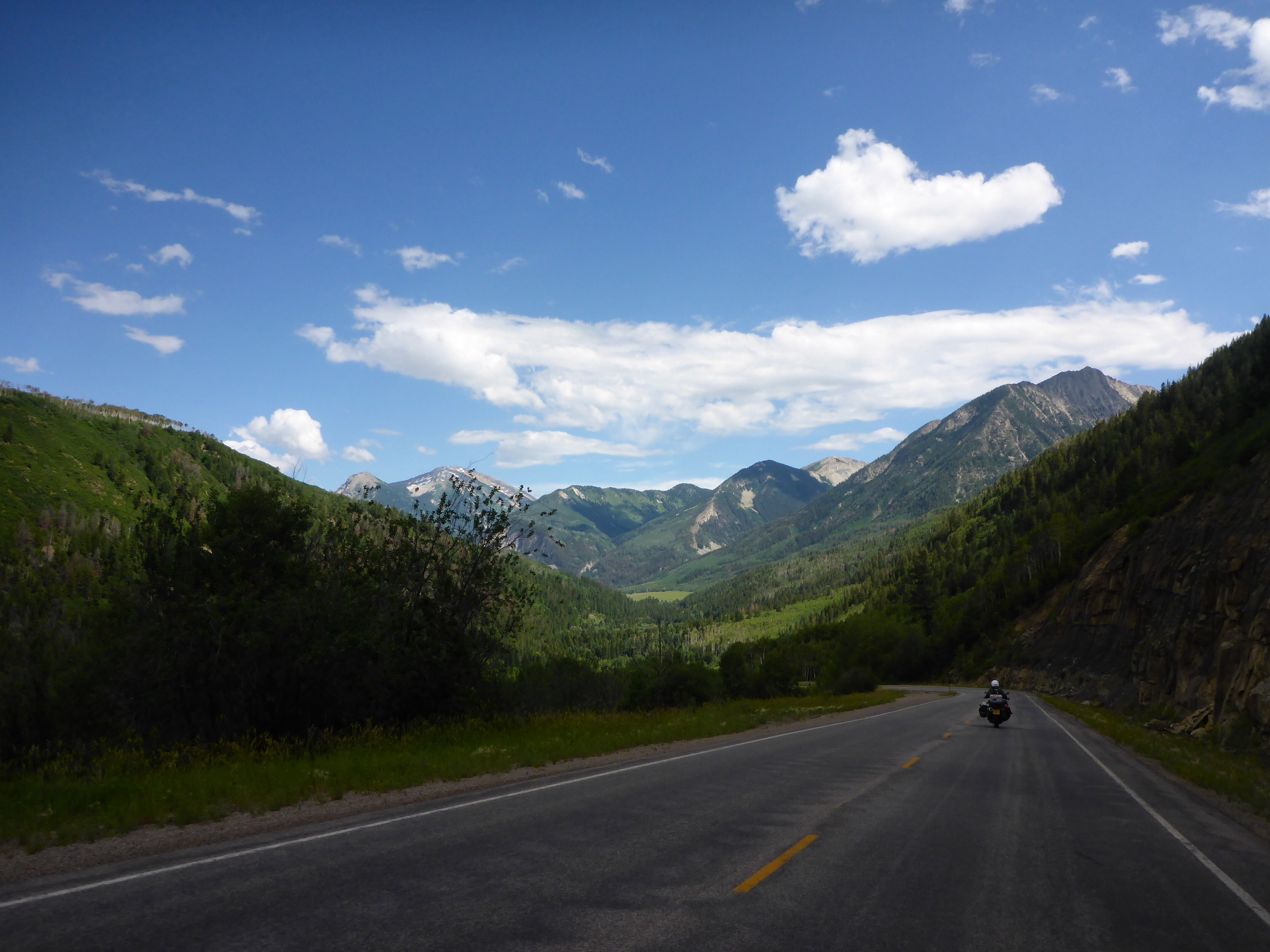
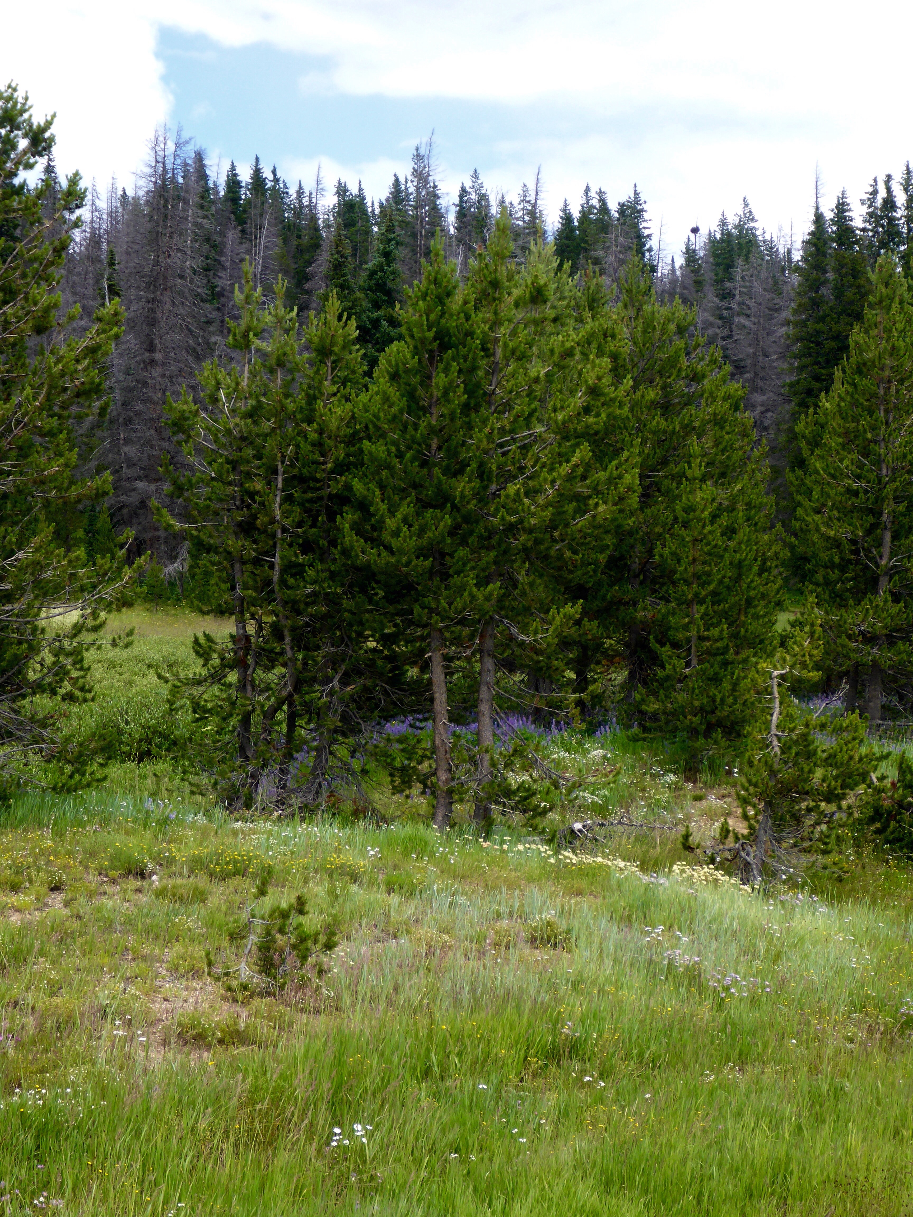
From there, we went to Granby, Kremmling and stopped in Steamboat for the night as there was a massive storm ahead of which we were not going to be able to avoid and we didn’t feel like getting wet. We have ridden through a few interesting places today, witnessing some topical aspects of Colorado and US politics Such as the distinctive smell of cannabis, whose sale for recreational use was legalised early 2014 in Colorado. And such as a pickup (ute), driving with a massive Confederate flag flying high above its canopy. Since the recent massacre at a church in Charleston, South Carolina, there has been a lot of debate about the use of the Confederate flag and whether it represents pride or racism. While the US flag flew at half mast atop the state Capitol, the Confederate wasn’t. There was outrage. But things are not that simple as is often the case. The height of the Confederate flag was regulated by law, it had to fly at 30 feet, there was no pulley system to lower it and unless the lawmakers voted to have it removed, it had to stay where it was!! That was until a week ago when legislation was passed to have it removed.
We stop for lunch at a tiny road side restaurant, the Chuck Wagon Restaurant, in Granby. The poor waitress is completely rushed off her feet, being the only waitress there. The green chili burrito is delicious. On our way out, we chat with a great group of 3 ‘mature’ Harley riders. Real salt of the earth characters, with eyes that tell me they must have so many fabulous stories and experiences. Unfortunately, they are riding in the opposite direction to us.

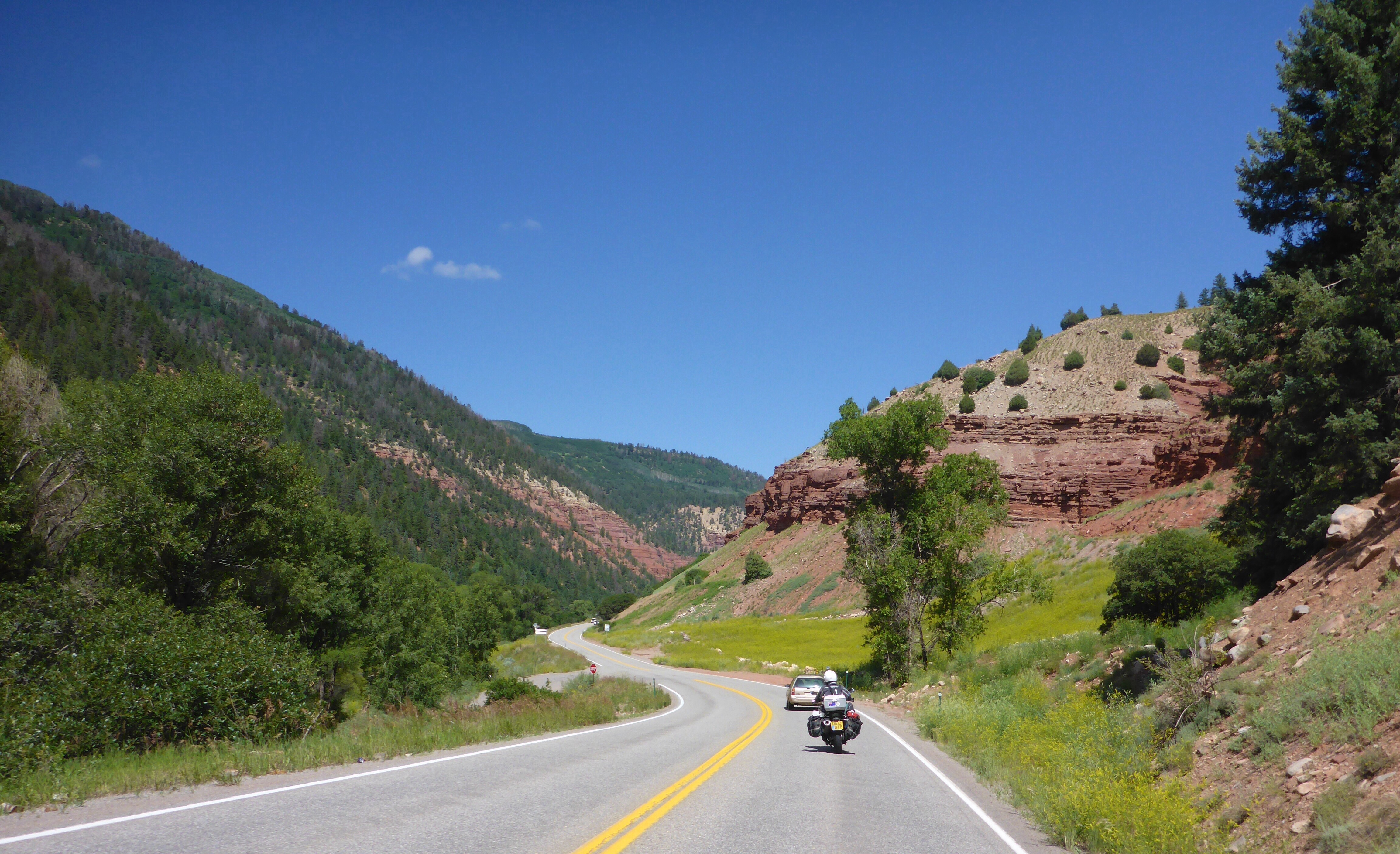
Between Granby and Kremmling
Once again, we manage to dodge a couple of storms but as we arrive into Steamboat,we realise we would be heading straight into the next one. Time to stop as we don’t feel like getting wet and we could do with a rest. We find a nice little hotel on the main road, the Nordic Lodge, run by a lovely young Polish couple. We have been to Steamboat before but always to ski – we go for a lovely walk around town before find a place for dinner.
Just love those wildflowers

Managed to dodge this storm as we approach Steamboat
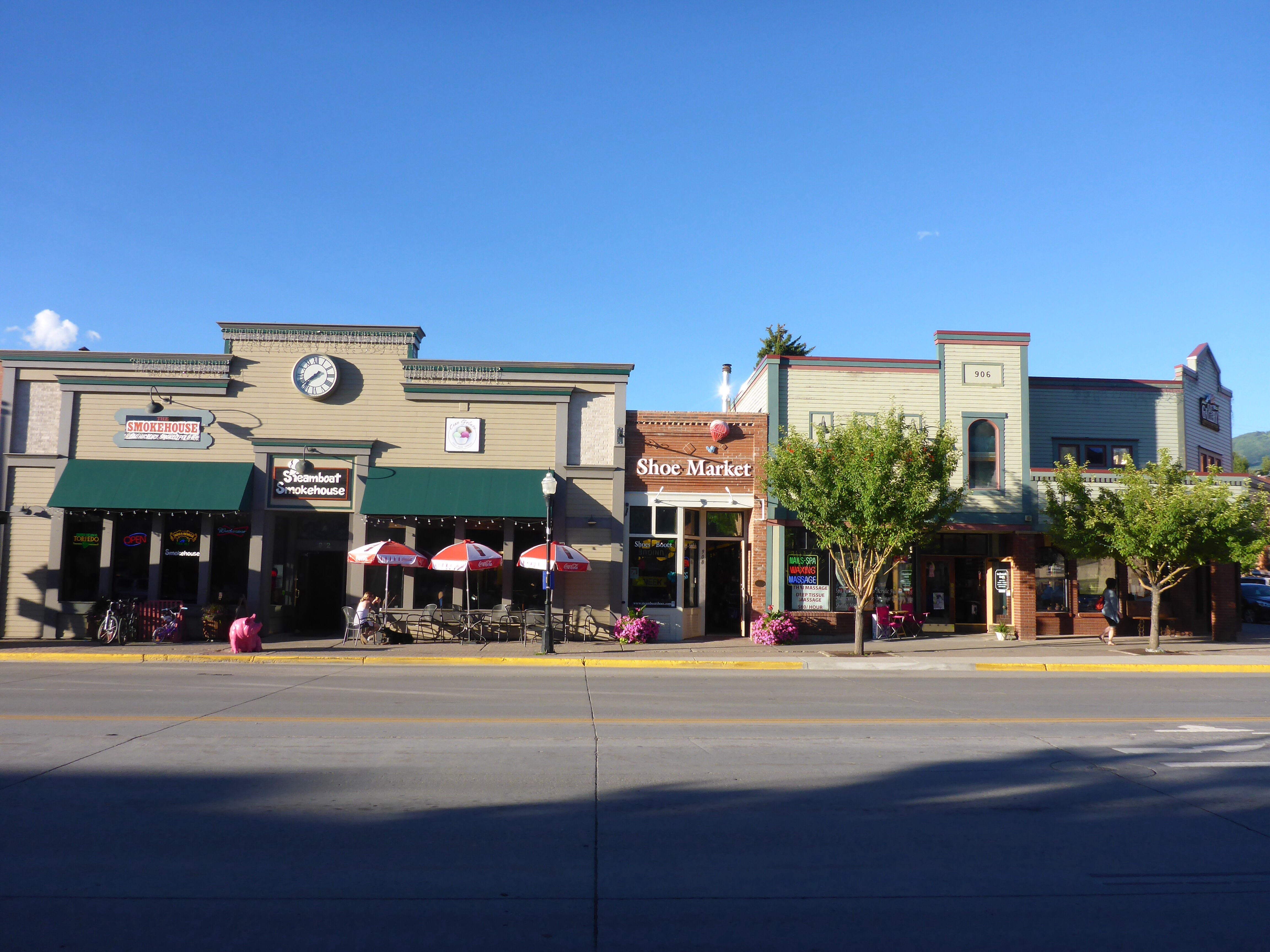
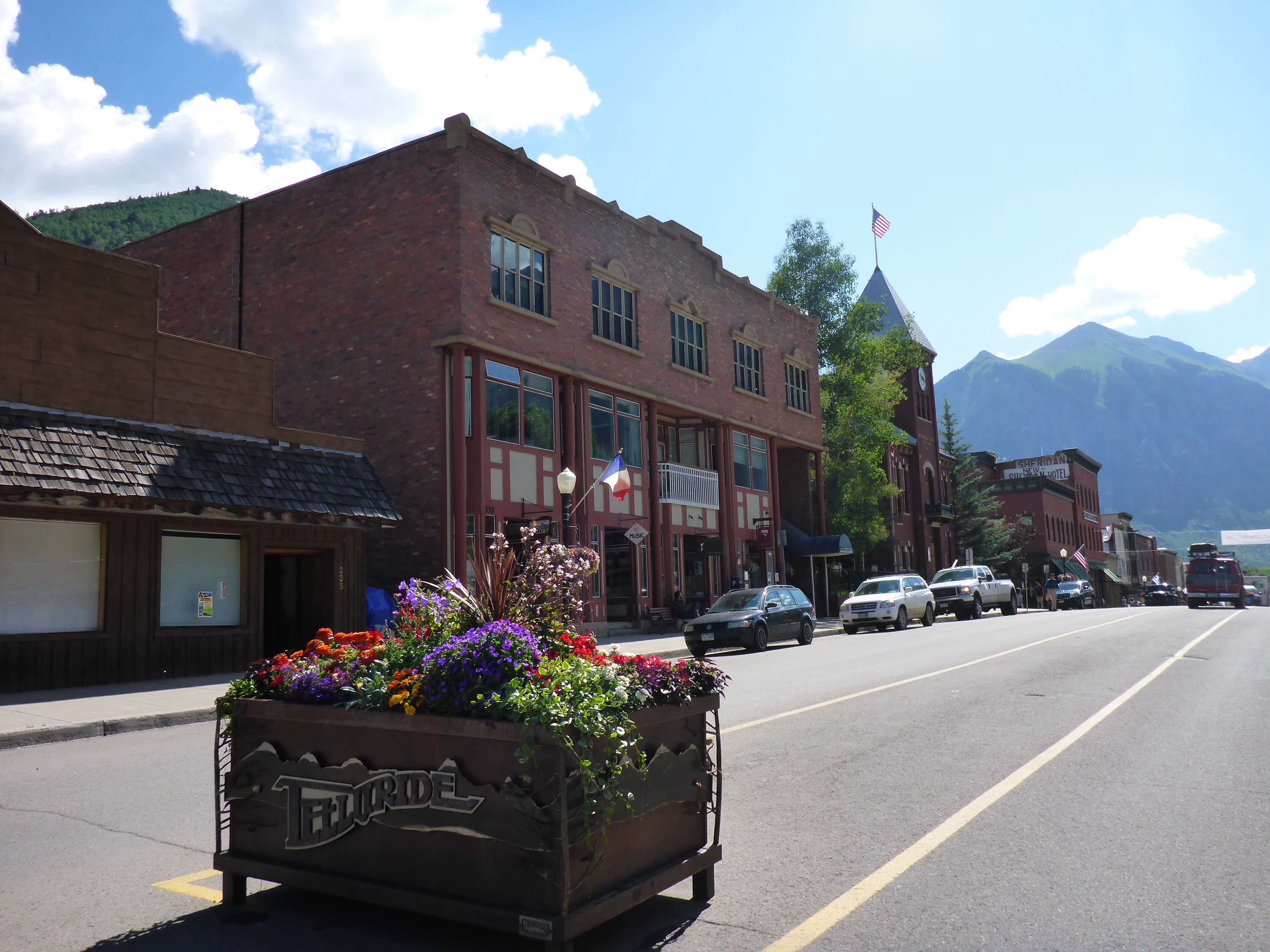
Steamboat

Steamboat ski slopes

Outside a Steamboat bookstore
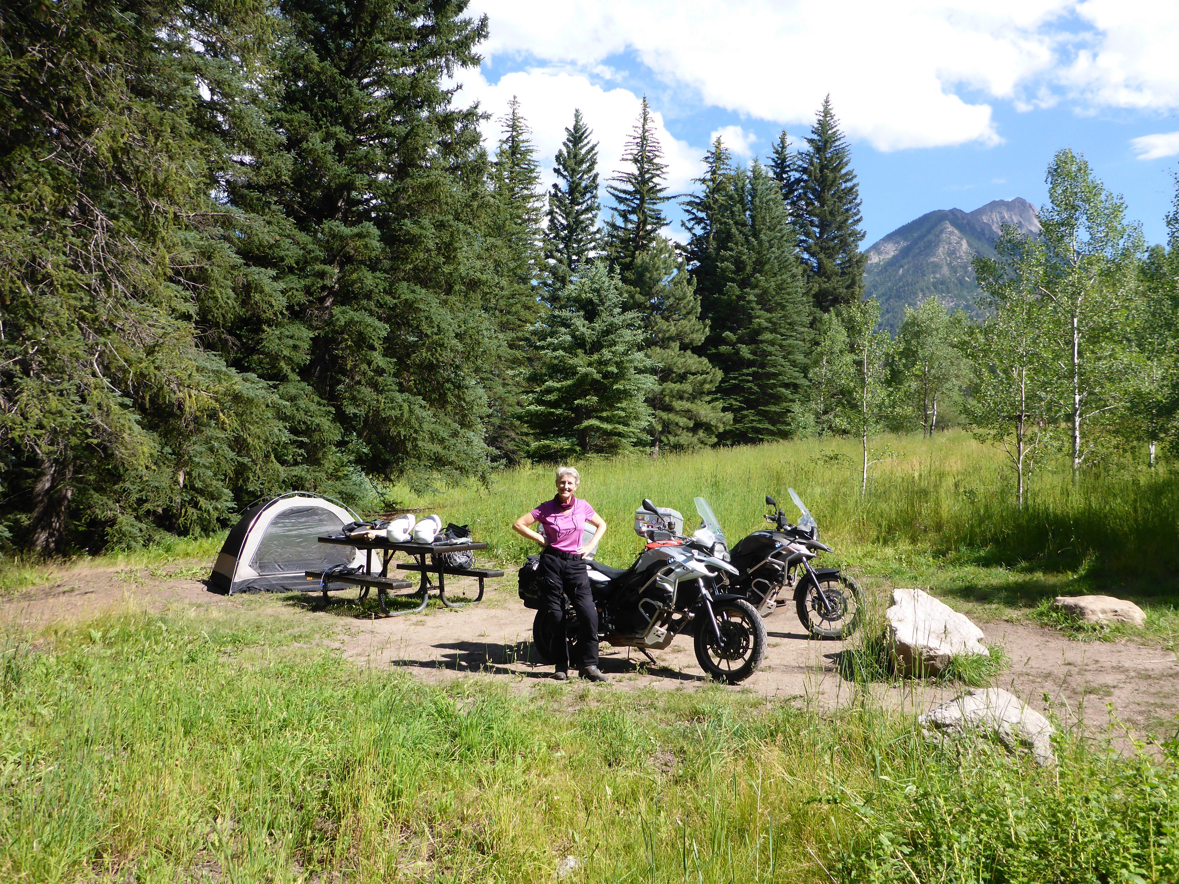
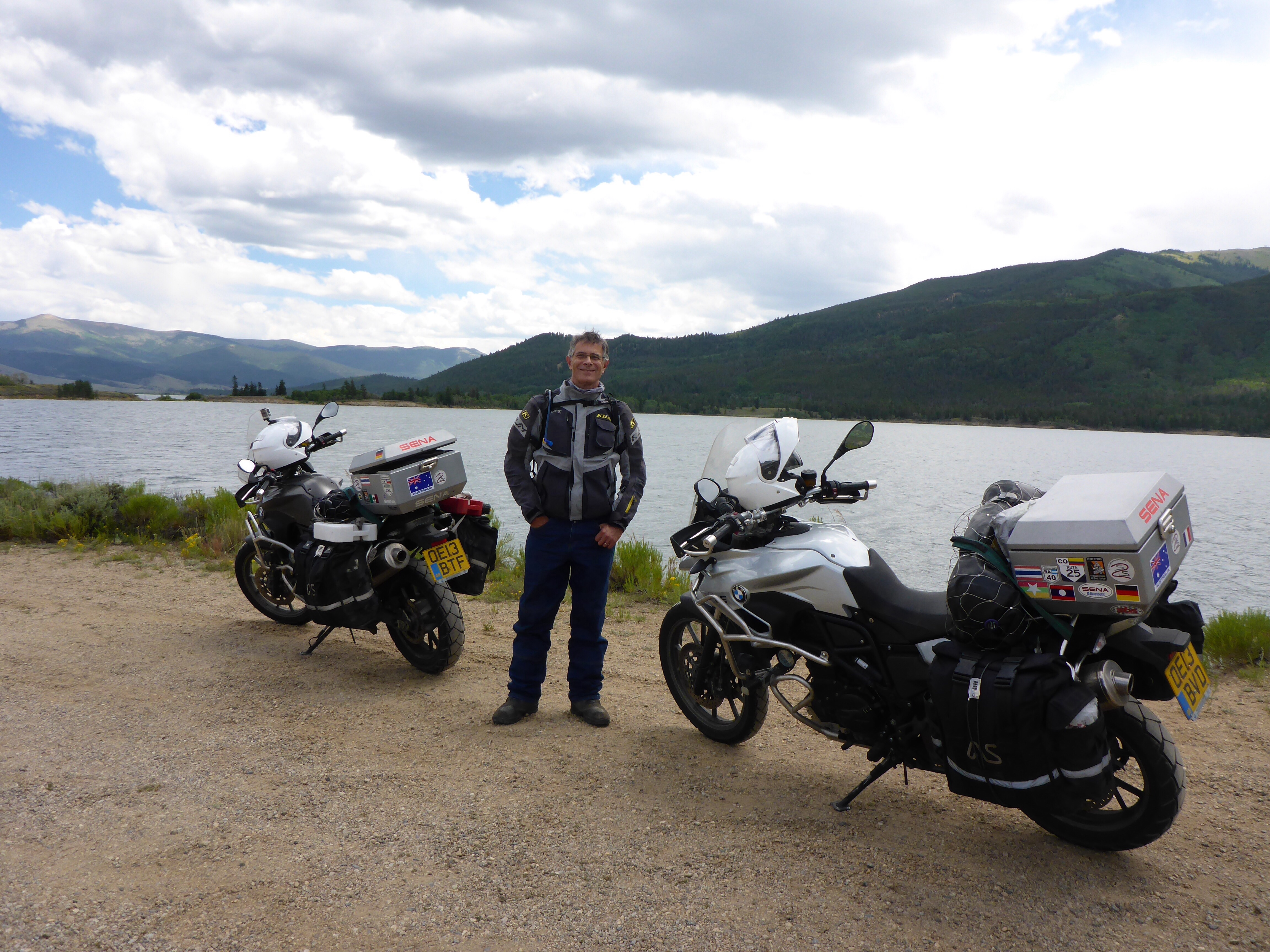
After a delicious breakfast (with real bread instead of the usual sweet American ‘bread’, quality jams, fresh fruit and good coffee), we load up streak and Storm with our overnight bags (we have got quite organised since we got to South America: we each have a day pack that lives in our top box which contains all we need for 5 days, including pillows, slippers, rain jackets, fleeces and snacks. Our walking shoes live in a side pouch of our panniers.
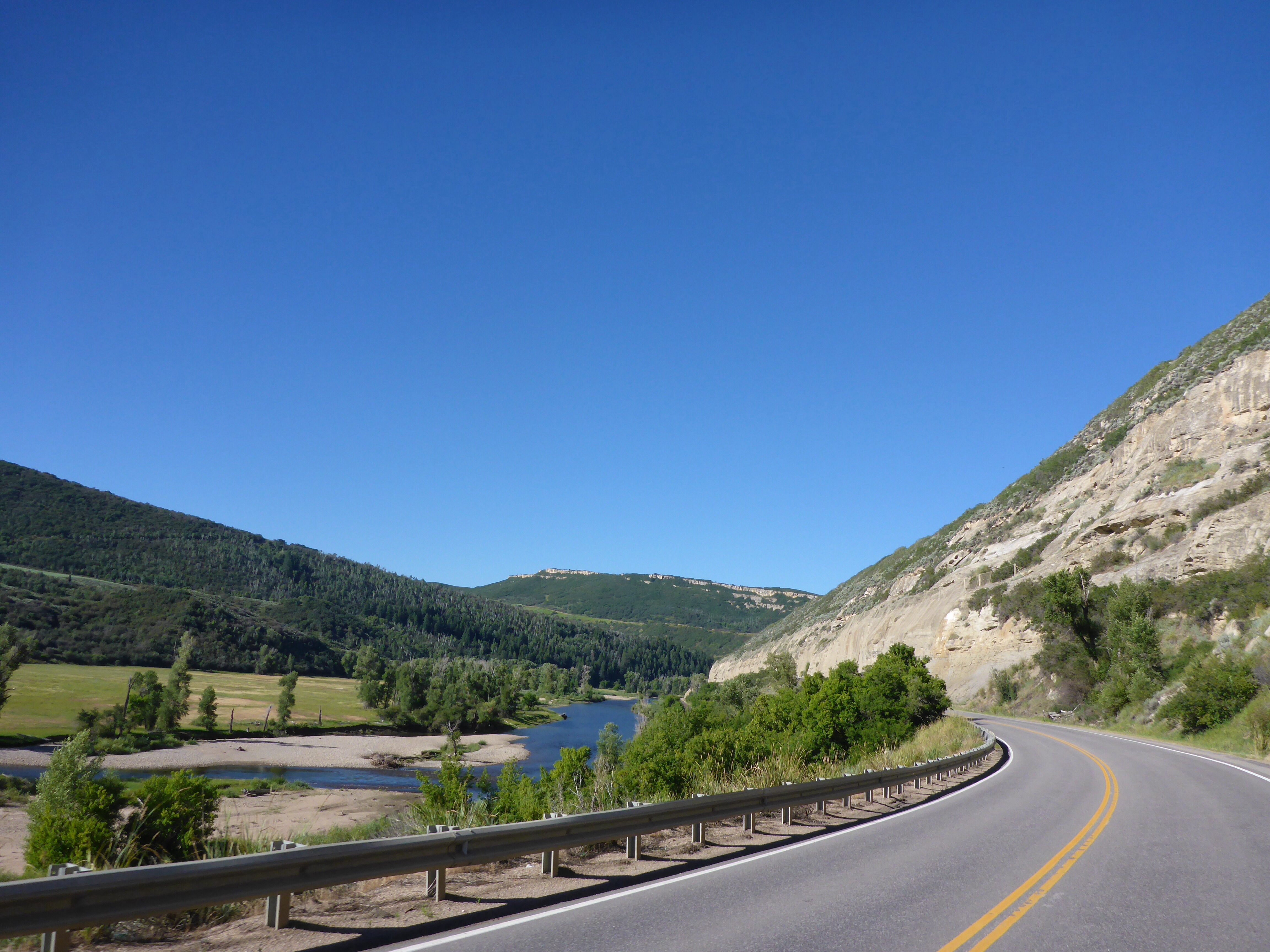
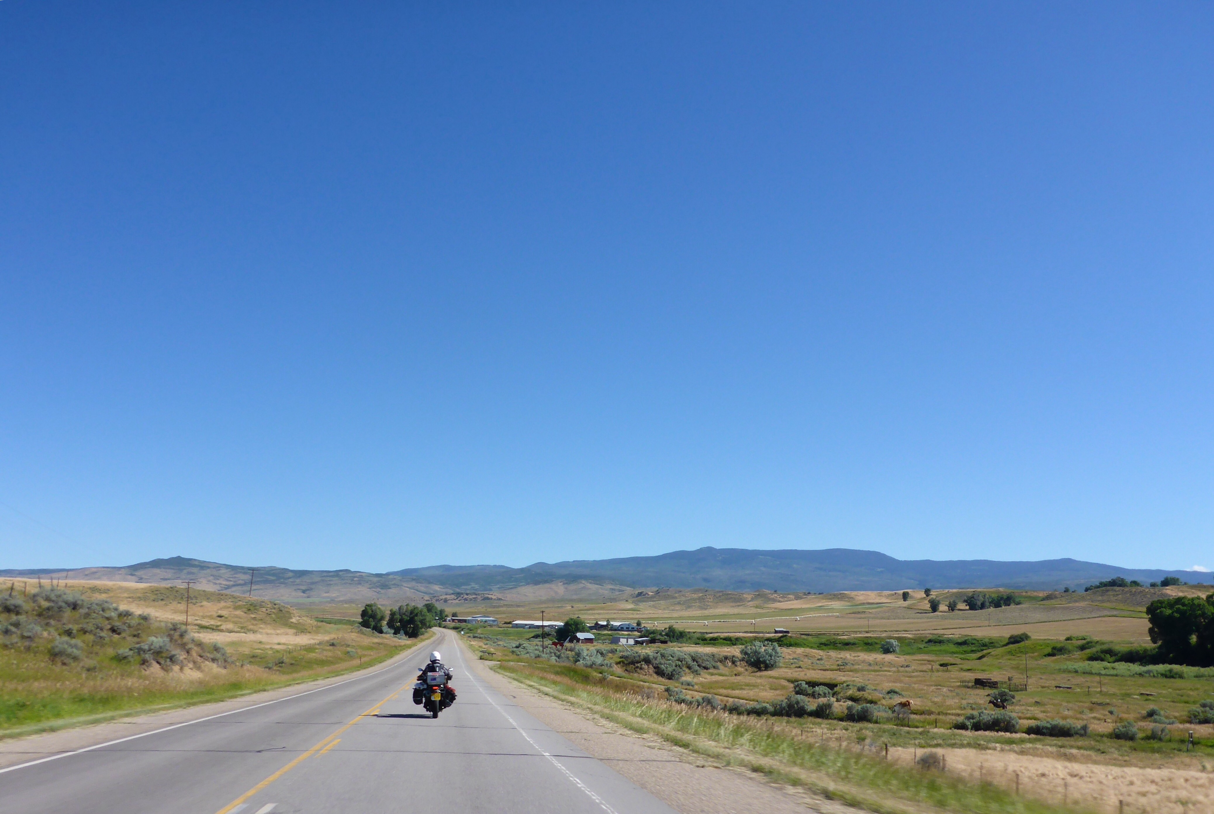
Thursday, we leave Steamboat under a bright blue sky. After riding along the river, through a final canyon, head north of Craig on Co13 and we are suddenly out in the open country. This country is vast!! It is incredible that while we are riding through flat land, we are still above 2000m/7000ft!! Time for a stop and a snack of fruit and nuts. We enjoy stopping, watching grasses blowing in the breeze, listening to the chirping birds. We stop again for lunch outside Rawlins next to a gas station we have just refueled. Once again, we chat to a group of Harley Davidson riders. We’ve enjoyed chatting to fellow riders, but we have found that, apart from a few exceptions, people who approach us for a chat are invariably riders themselves. And so far in the US, they have all been Harley riders. Apparently, HD sales represent 50% of large bike sales in the US. I would have thought it was more than that from what we have seen on the road.
Leaving Steamboat
Co13 north of Craig
New section of Co13
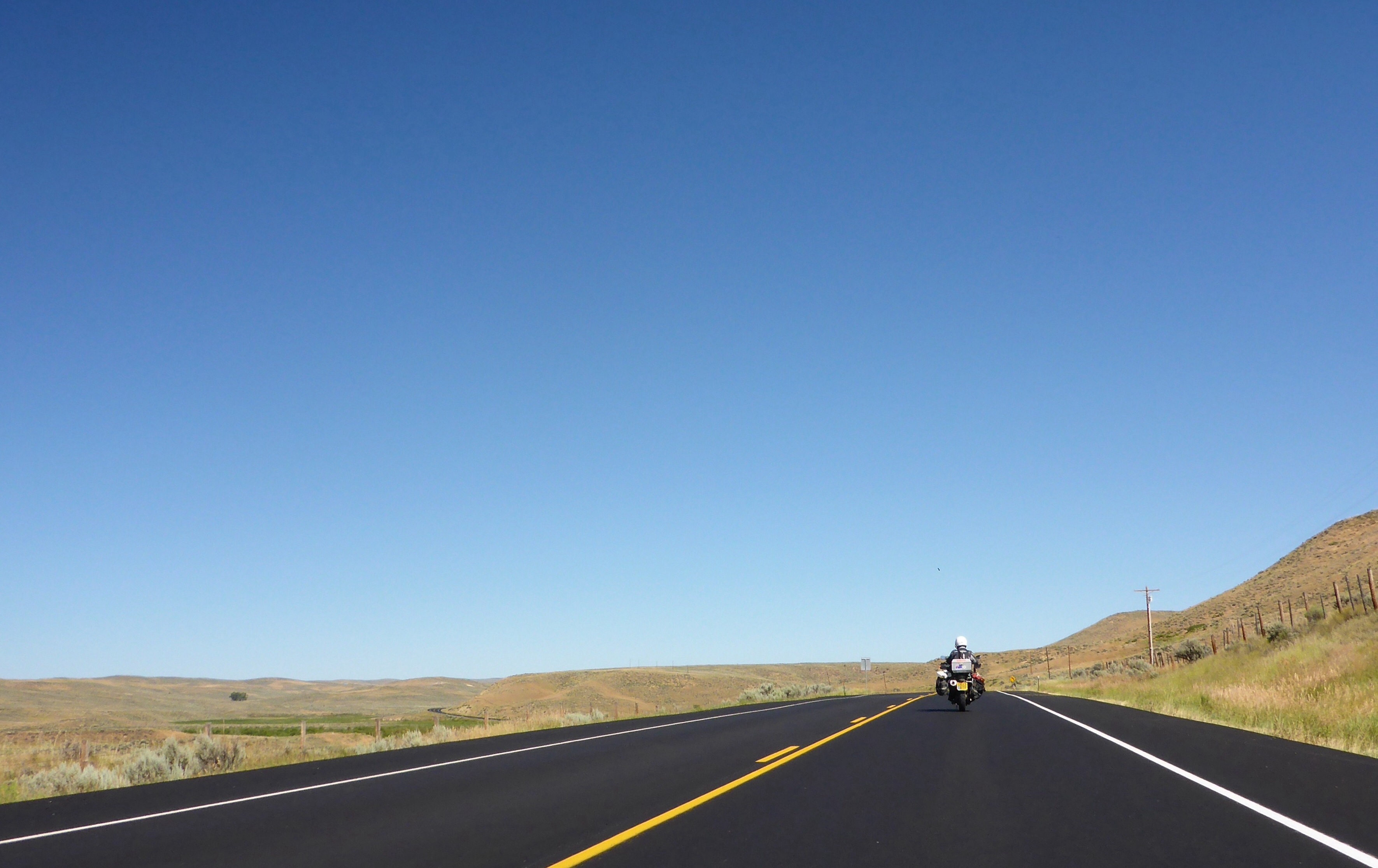
It is windy most of the day. In places particularly windy, difficult and tiring to ride. Nothing like the scary gusts we experienced in South America luckily. We see signs warning of 35mph gusts on the outskirts of Casper but we got much stronger than that on the open road. Today has been pretty tiring with a combination of boring straight roads and strong side winds and we are ready to call it a day by the time we arrive in Casper.

US287 to Casper

Interesting rock formations along US287 to Casper
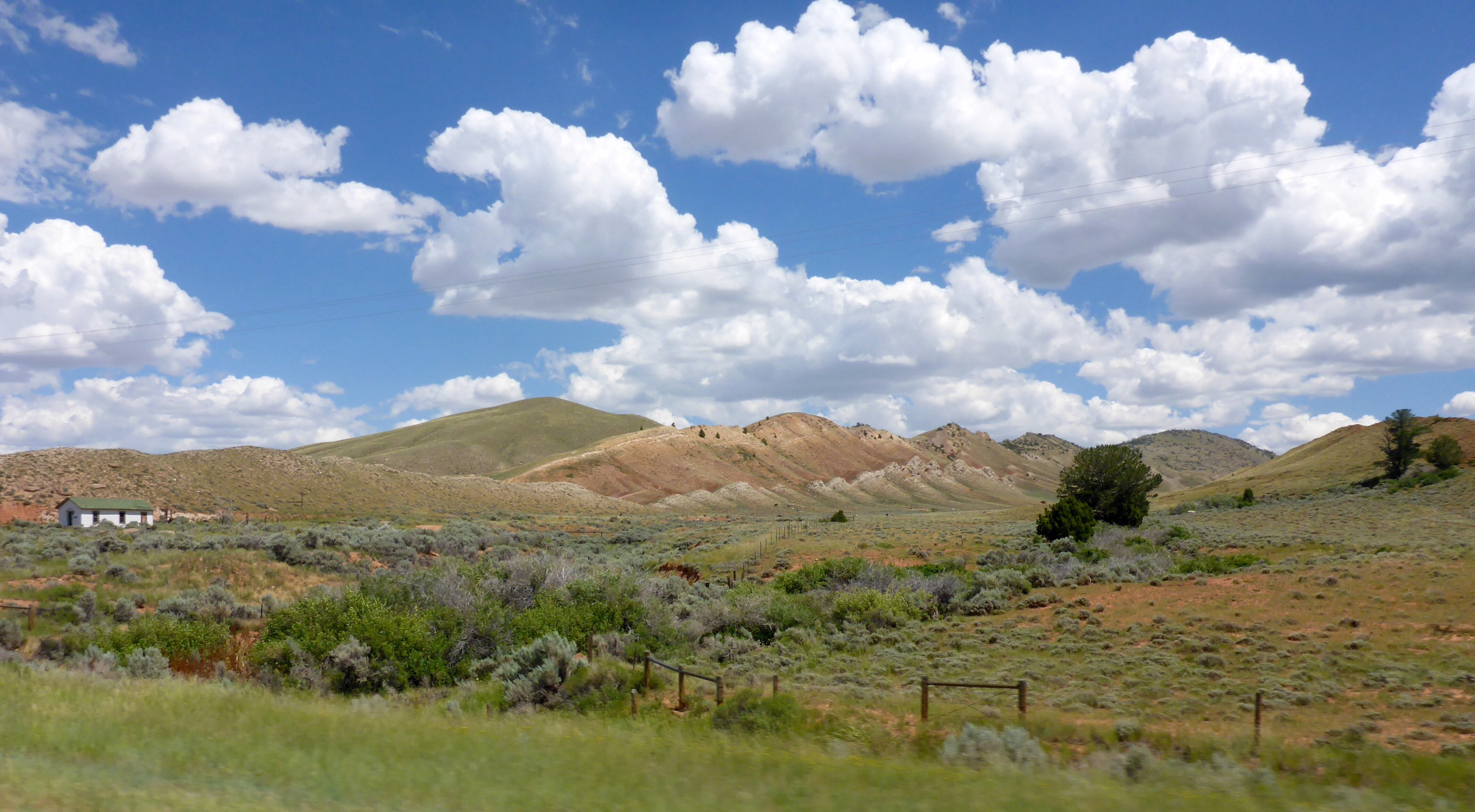
US287 to Casper
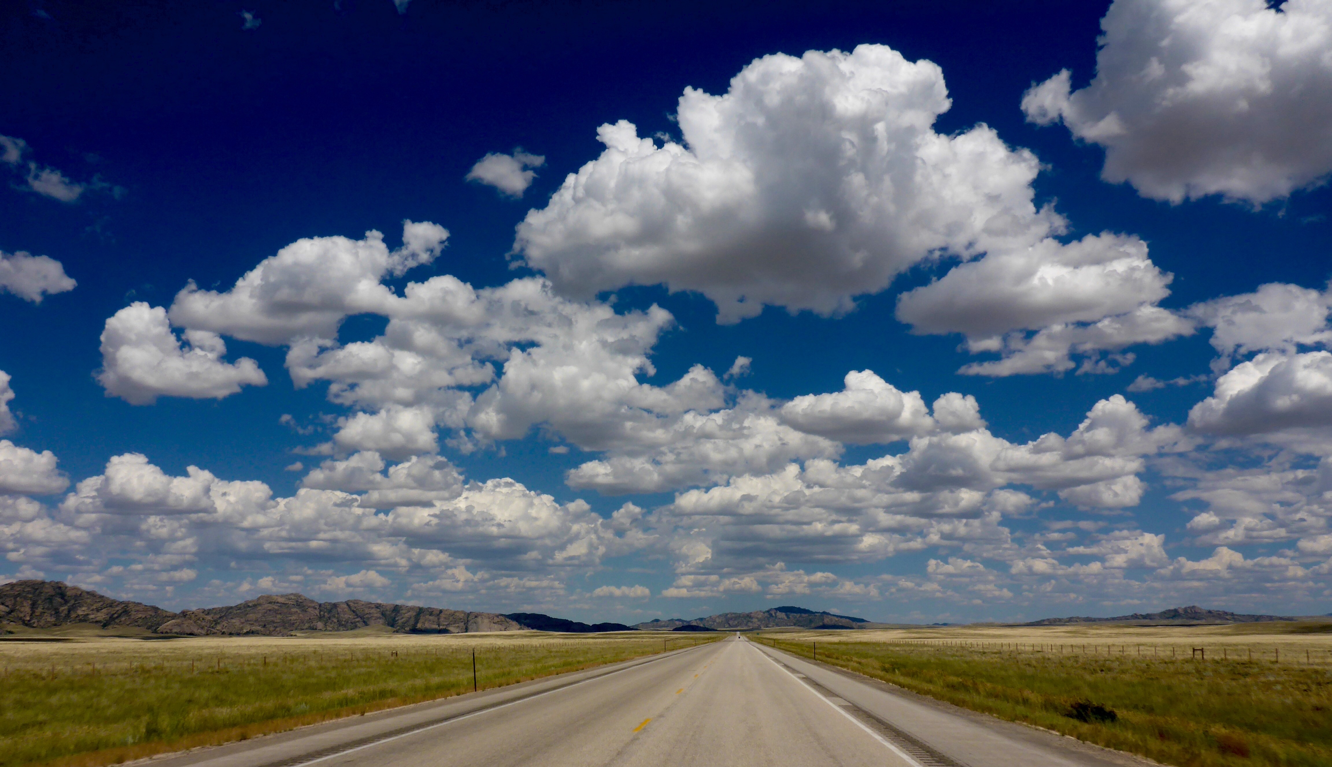
US287 to Casper
Which way will head tomorrow?? Maybe towards Sturgis and the Black Hills before the big crowds hit Sturgis as a number of riders we have met recently have told us it is already getting busy in anticipation of the motorcycle rally’s 75th anniversary. There is a bit of shopping I want to do there…
– Anne